
Live from the Alps - May & JUNE 2022
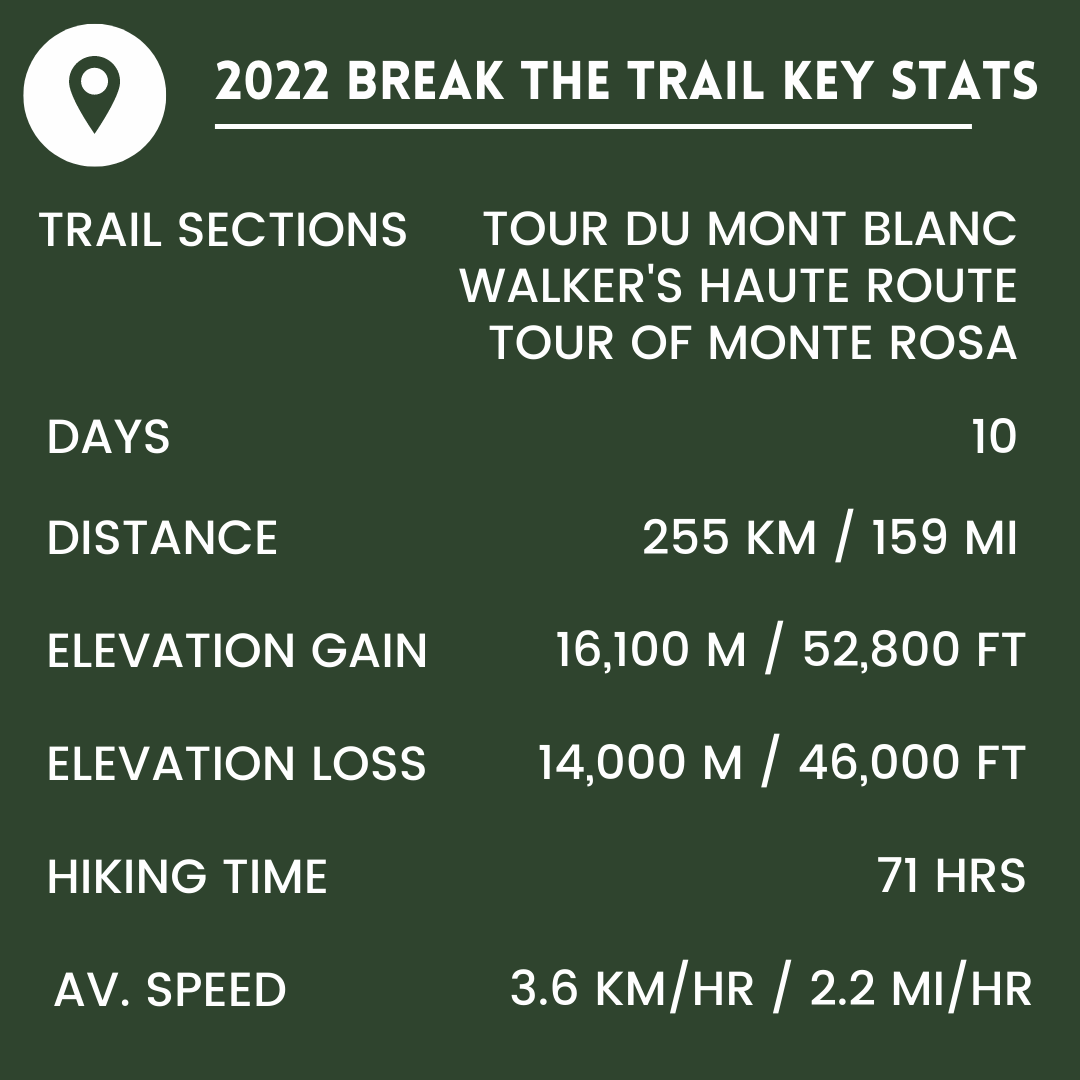
I’ve returned from my 2022 Break the Trail hike and have live trail updates to share with you for the following trails; Tour du Mont Blanc, Walker’s Haute Route, and Tour of Monte Rosa.
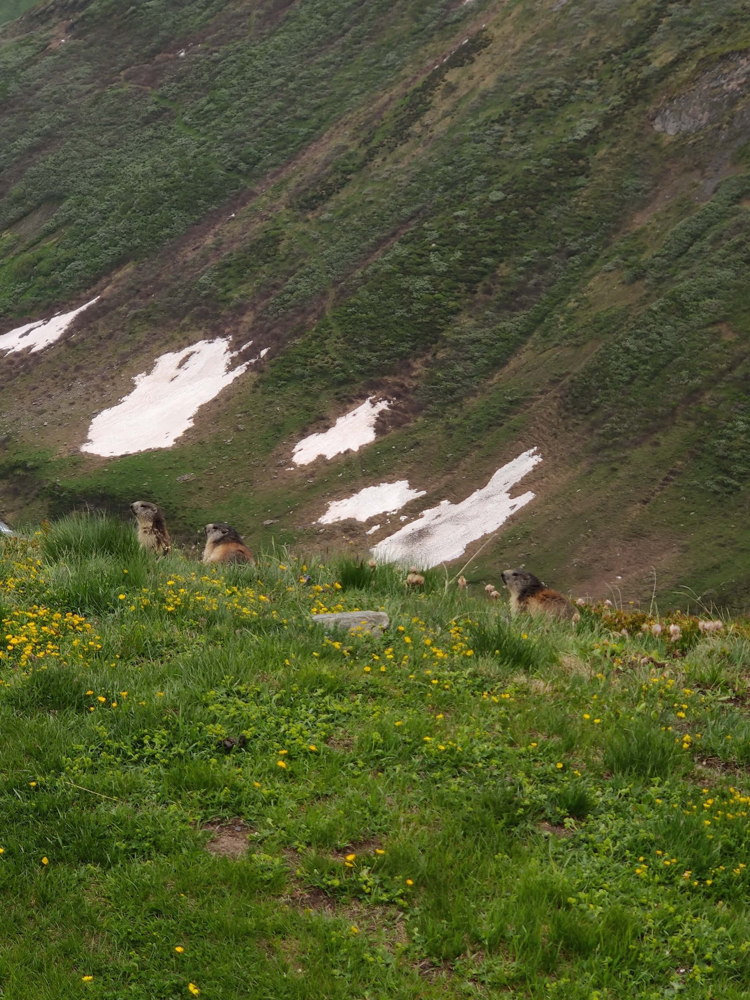
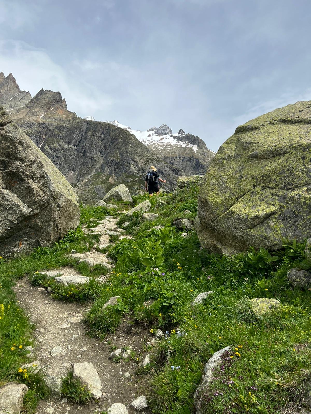
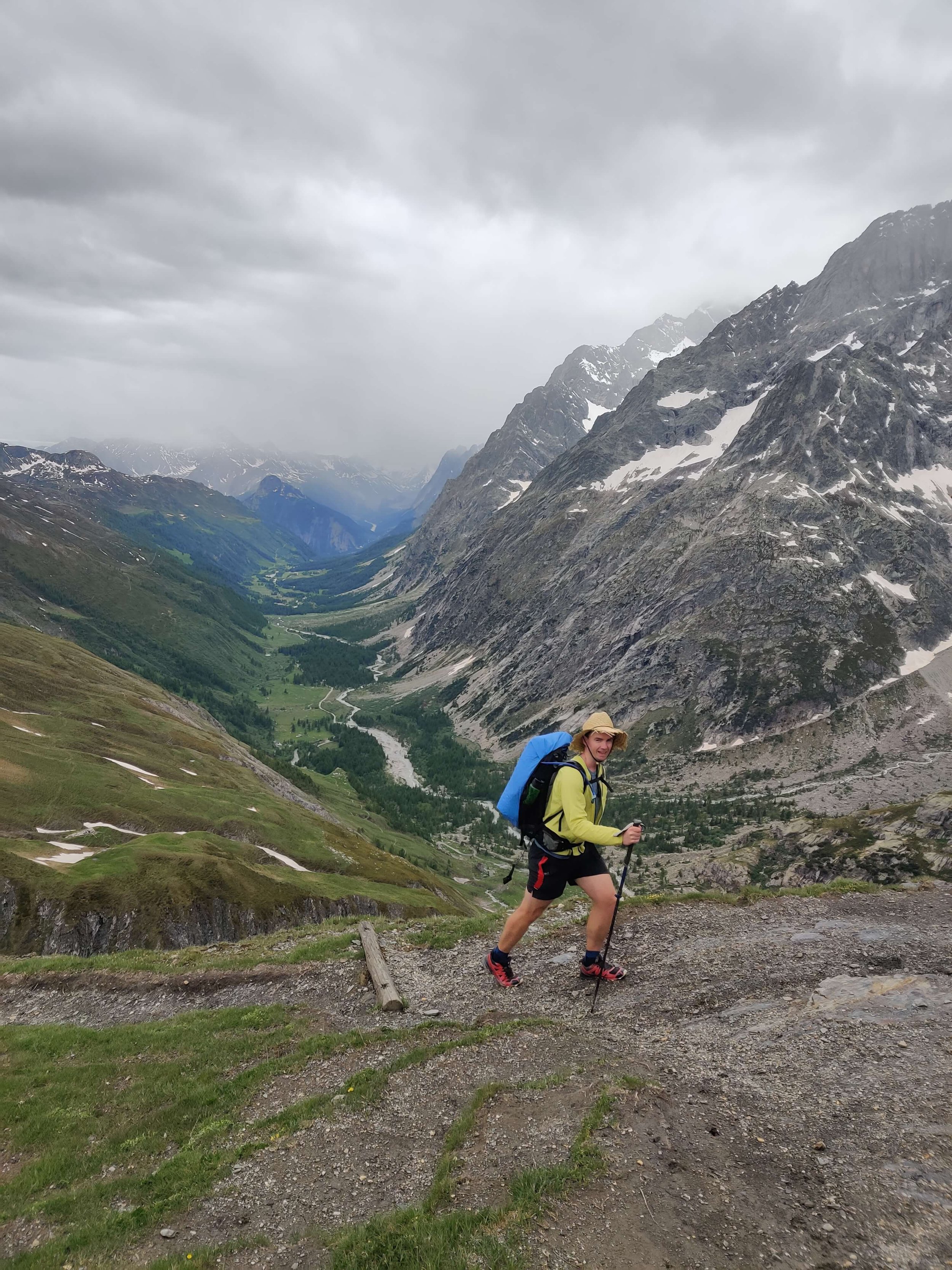
My 10-day trip was focused on checking snow conditions, trail conditions and transport schedules. I covered a lot of ground (and snow!), experienced weather from all seasons, and saw some spectacular sights; postcard vistas, alpine animals, wild flowers, and more.
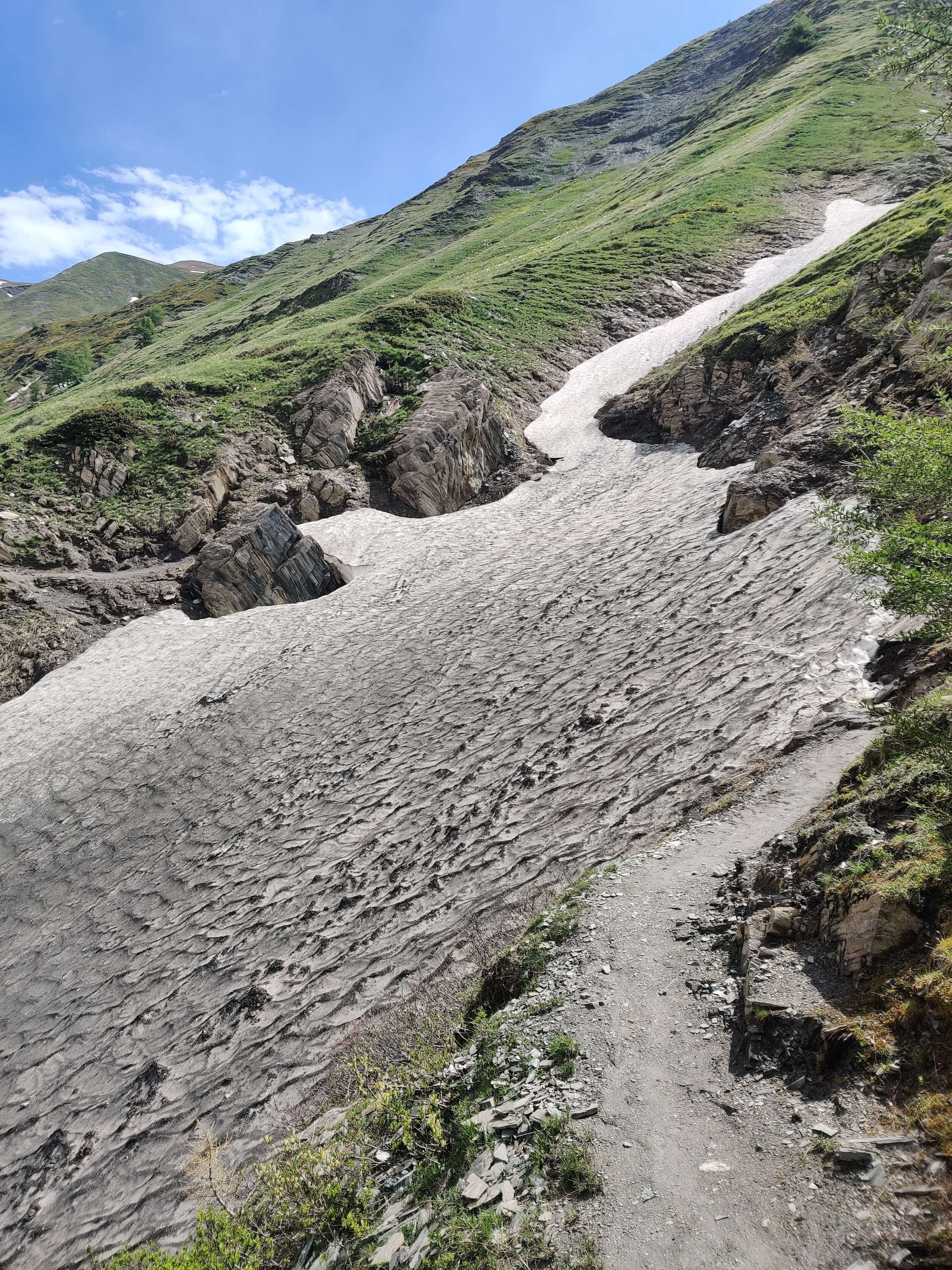
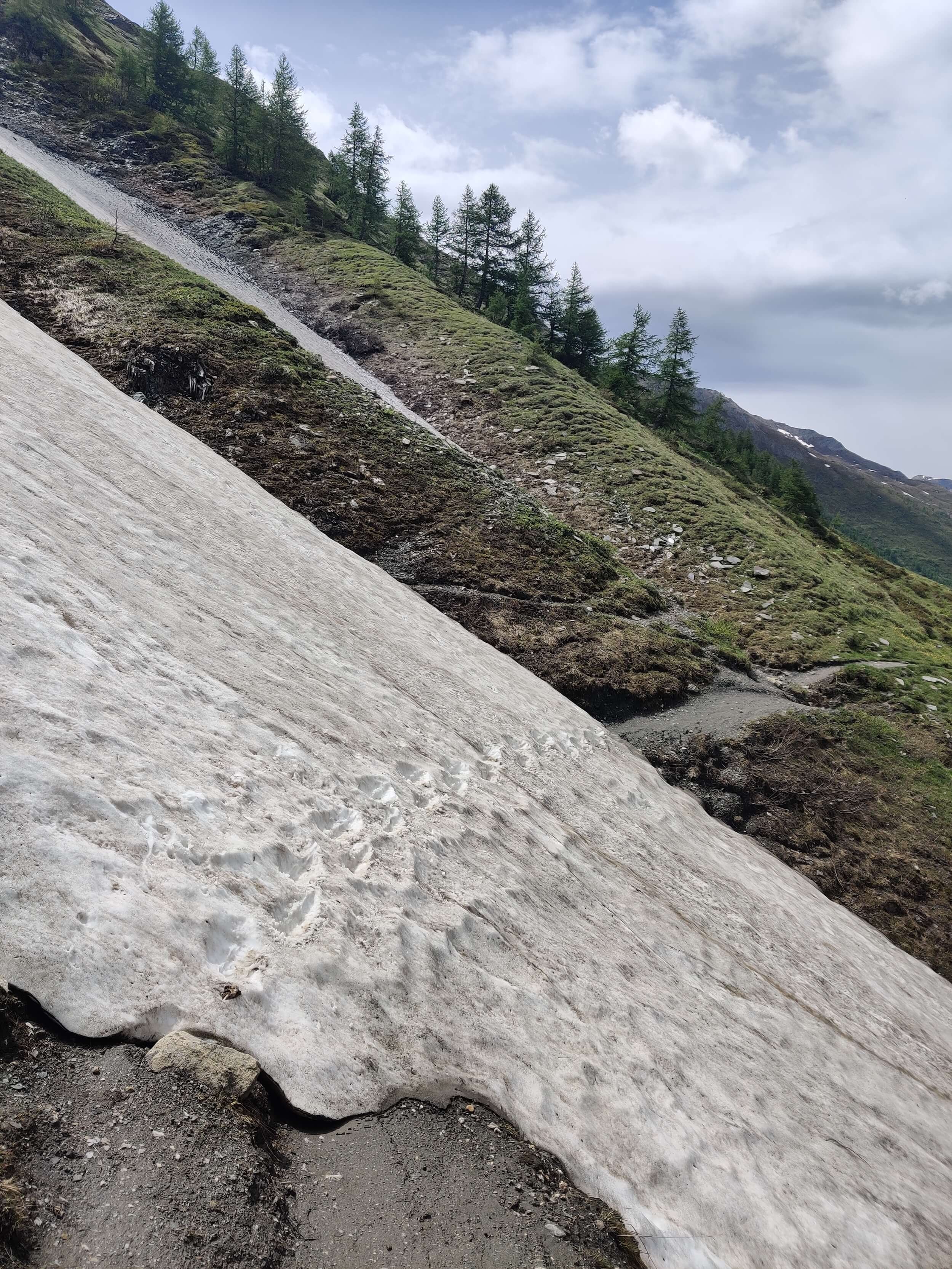
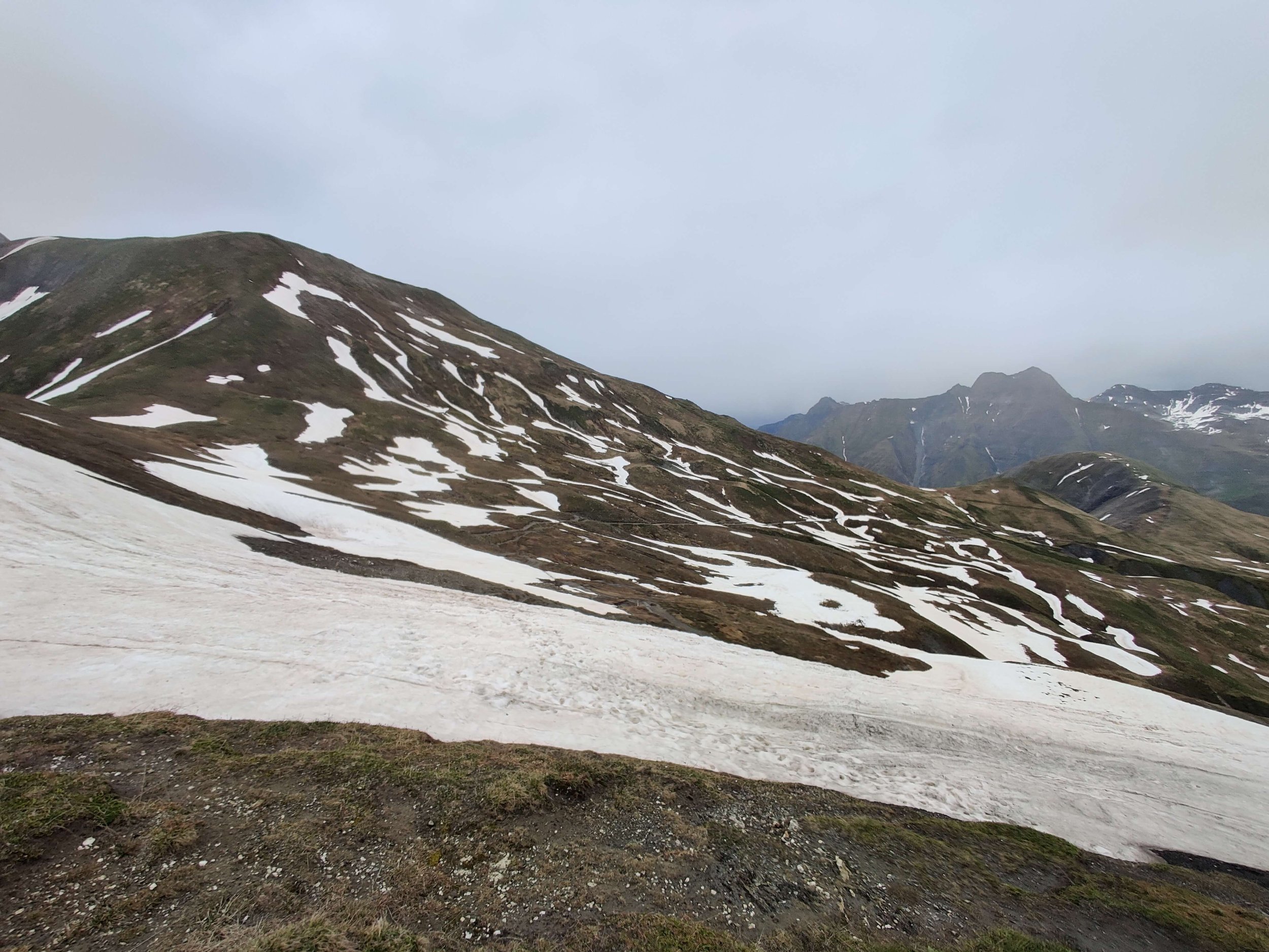
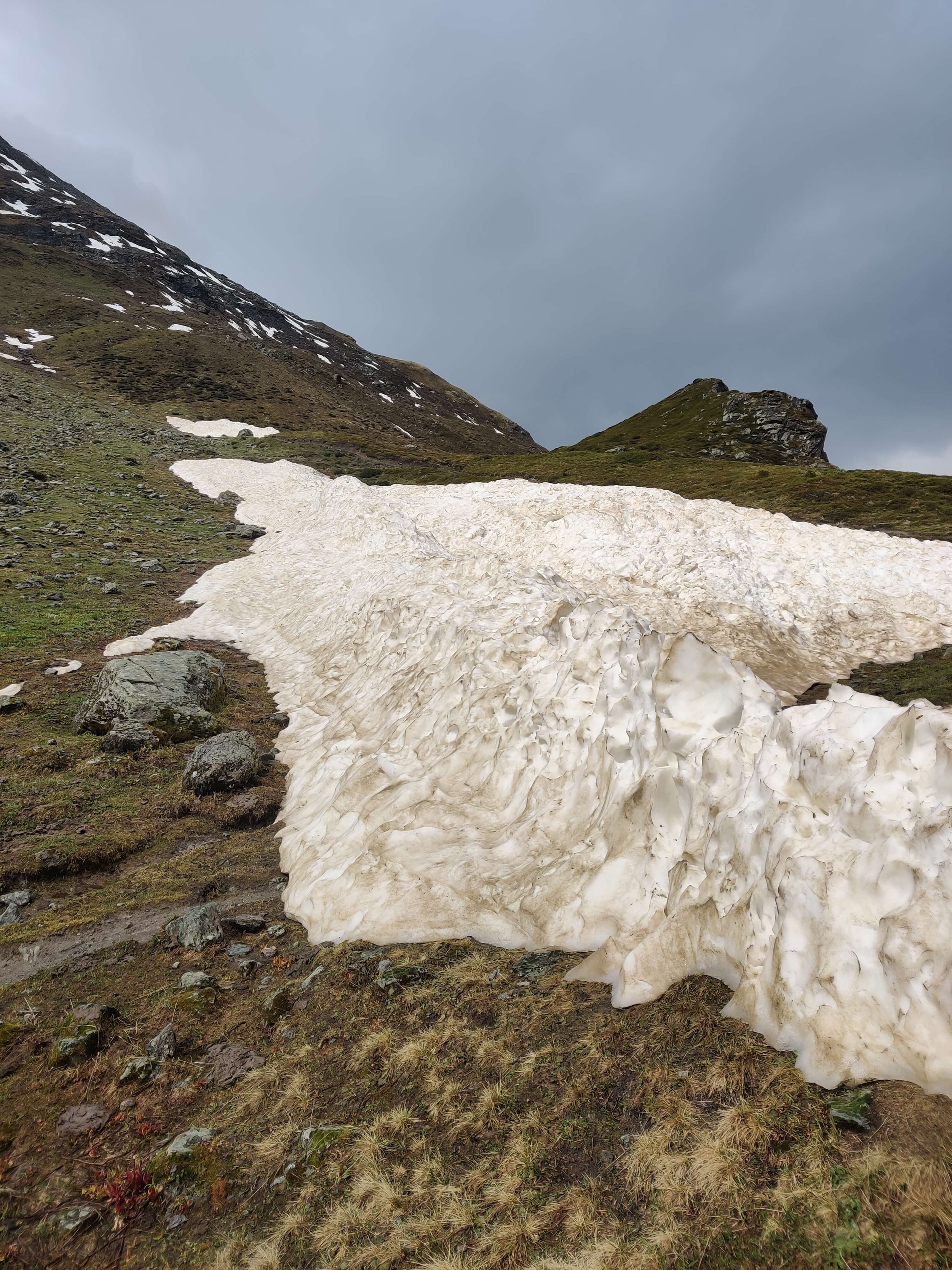
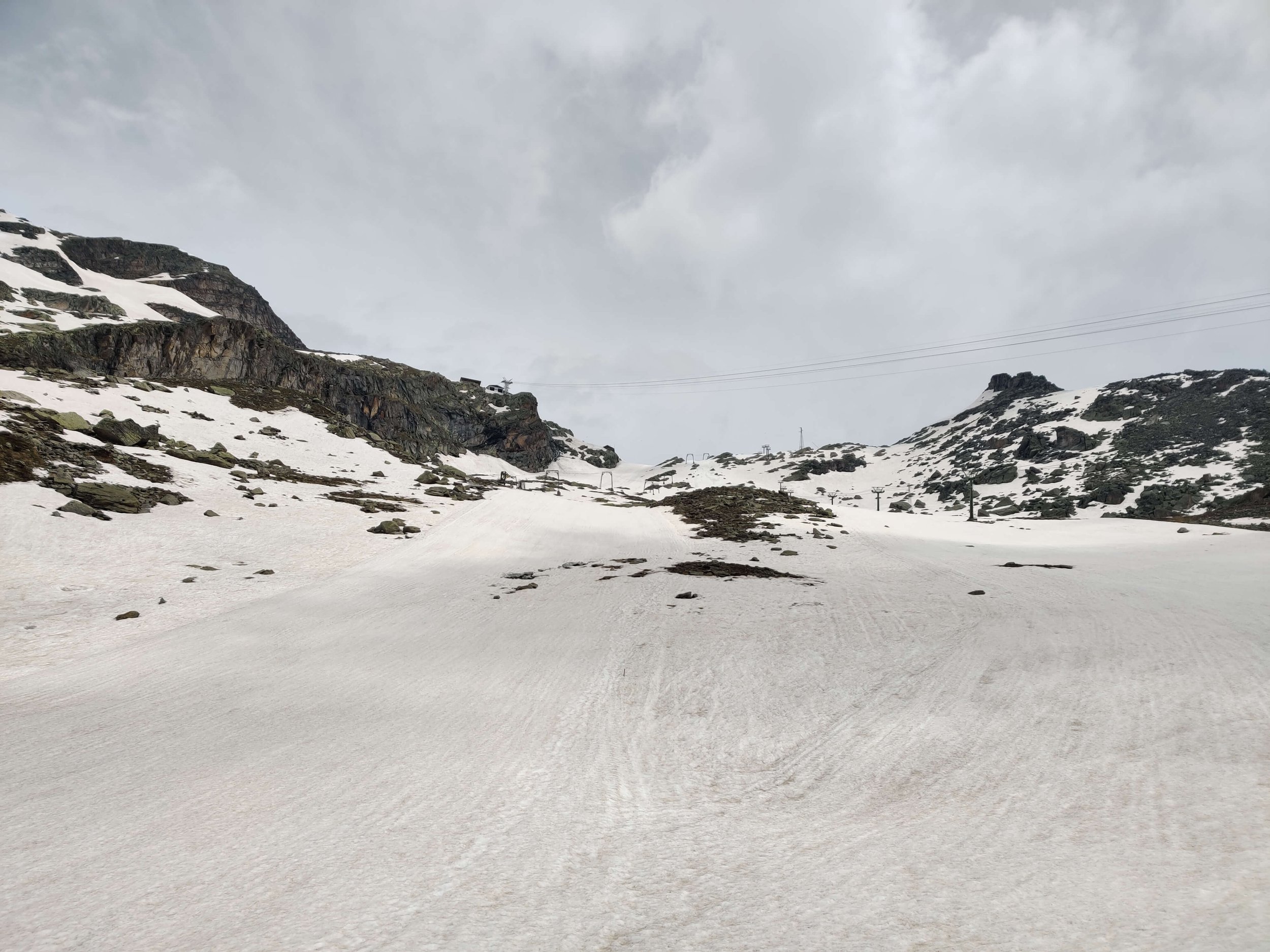
In general, the conditions for this time of year are exceptional. The amount and depth of snow are much less than in typical years. Most people are saying 4-6 weeks ahead of a typical season. If the warm conditions continue, most (if not all) should be gone by the end of June, which is when most hikers start arriving in the Alps.
🥾 Gear recommendation: Microspikes and poles are recommended for anyone hiking in June to support snow crossings. If you arrive at a snow patch and find it to be firm or icy, this gear could help prevent a slip that may be serious.
⛰️ Trail changes: There are several trail changes on the Tour du Mont Blanc and Walker’s Haute Route, including trail diversions in Courmayeur and Verbier ski areas, and major trail erosion on Sentier des Chamois.
🚌 Transport updates: There are a number of disruptions to transport this season that may affect hikers, including: Le Tour gondola closed, Le Chable closed in June, and Grimentz cable car closed.
Note - It is highly unlikely these changes will be listed in guidebooks or paper maps.
Our 2022 GPS maps that will be released to The Hiking Club customers next week will include these 2022 trail changes and transport updates.
TRAIL UPDATES
Click below trail to jump straight to trail specific updates:
You can also check out the Latest snow level and line and my Planned route.
📹 TMB TRAIL UPDATES

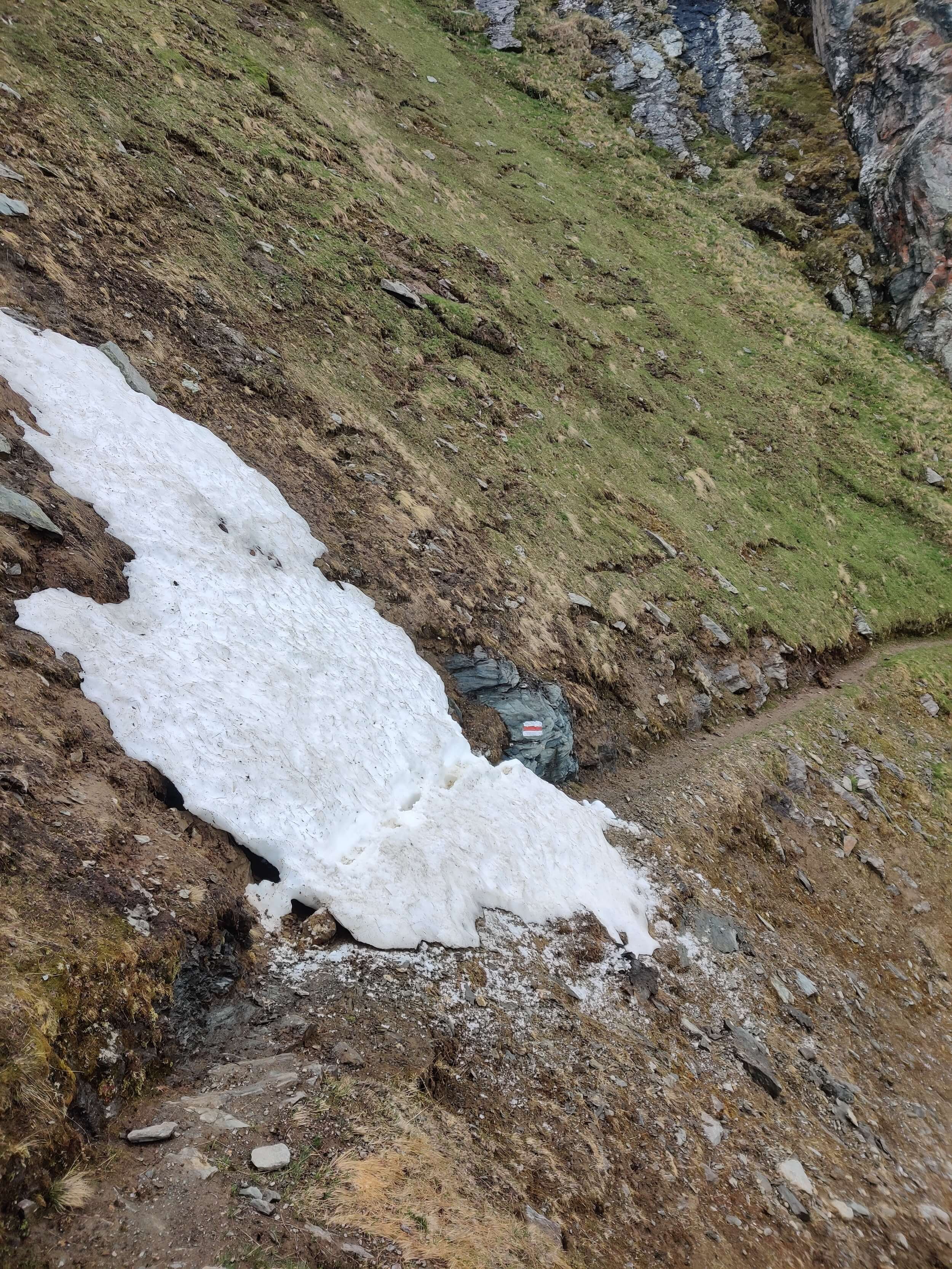
MAY 27TH 2022: COL DE LA FORCLAZ TO LE CHATELARD (VIA FENETRE D’ARPETTE)
Start location: Col de la Forclaz, Switzerland
Finish location: Le Chatelard, France
Hikes following this trail:
Distance: 30km / 18mi
Elevation gain: 1,896m / 6,220ft
Time: 8 hours
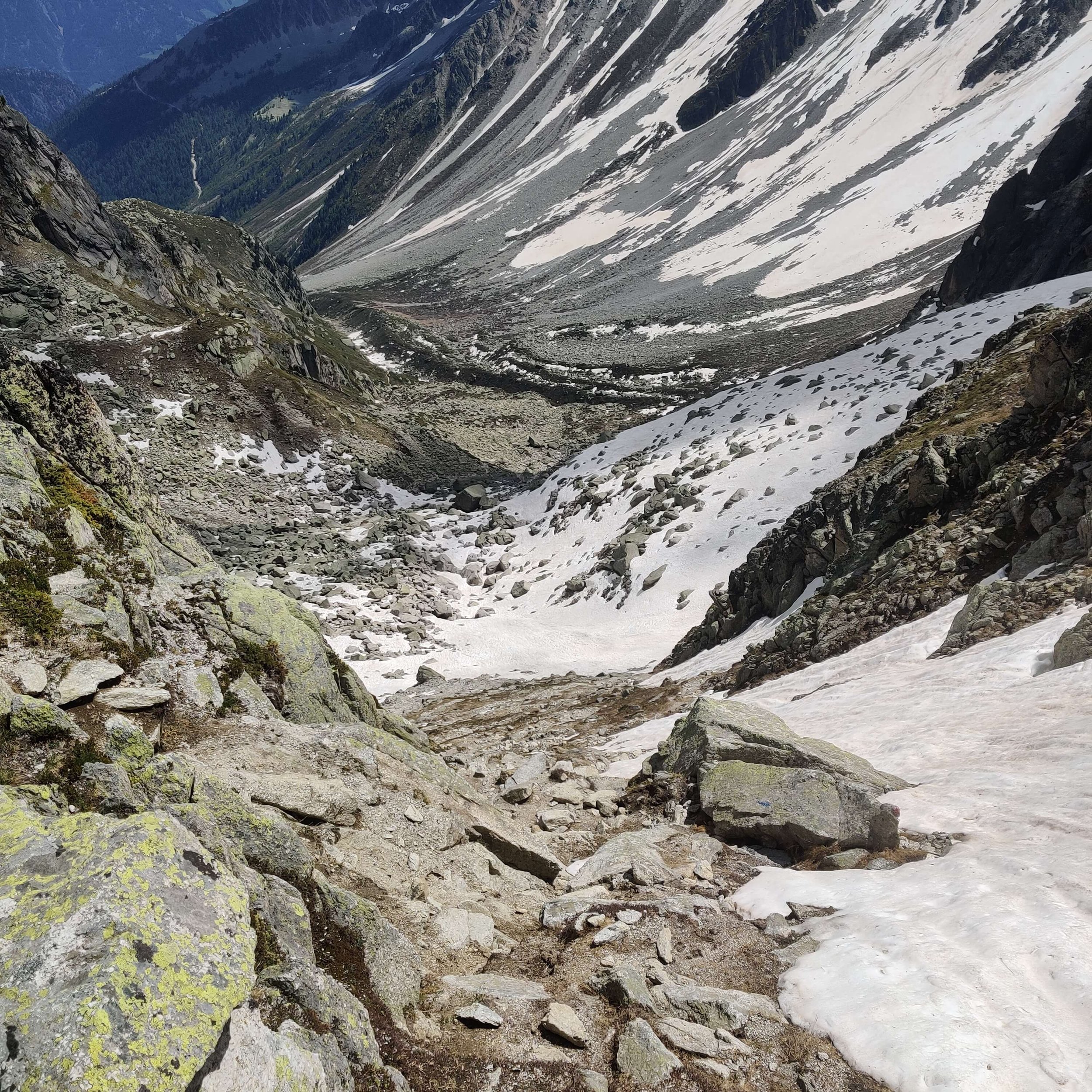
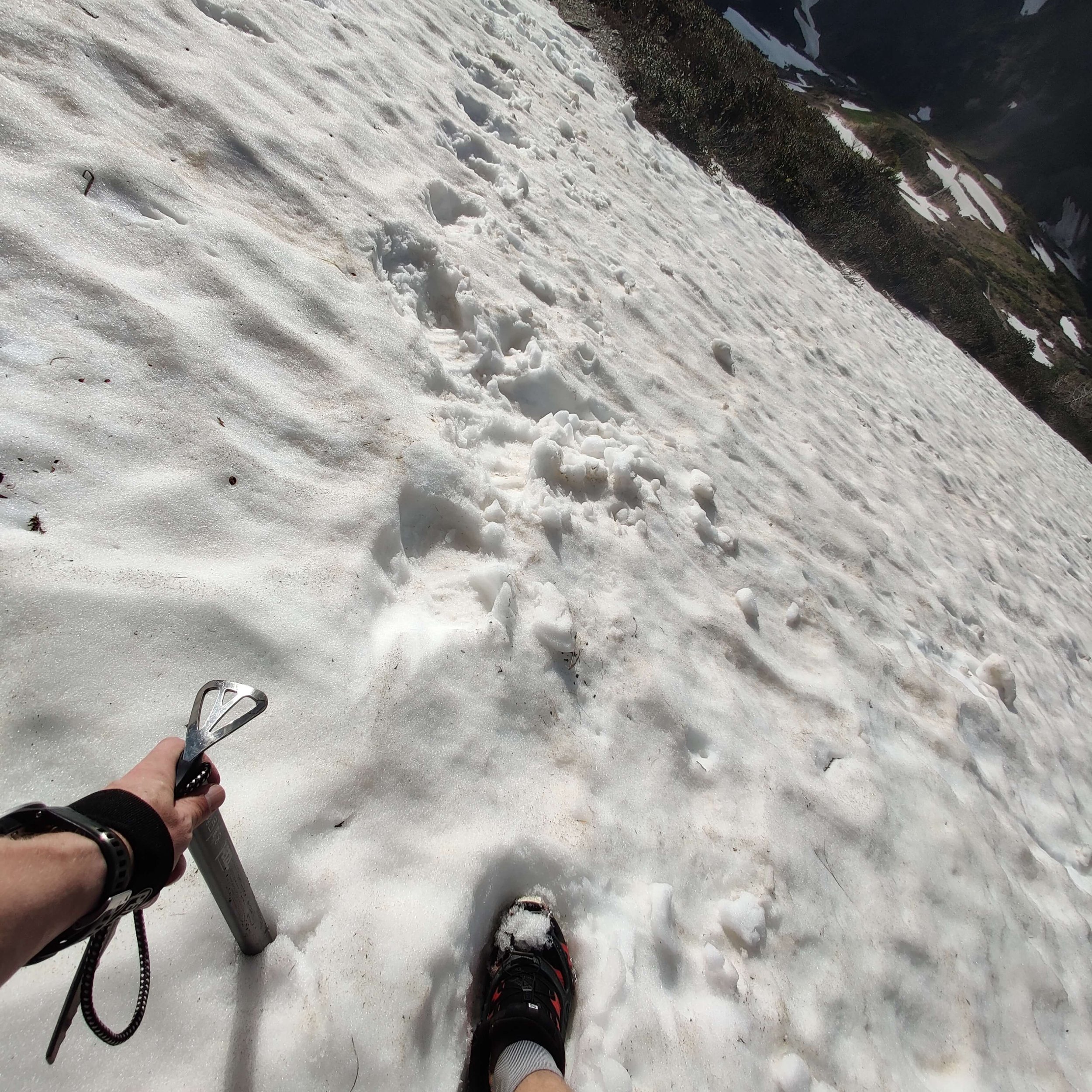
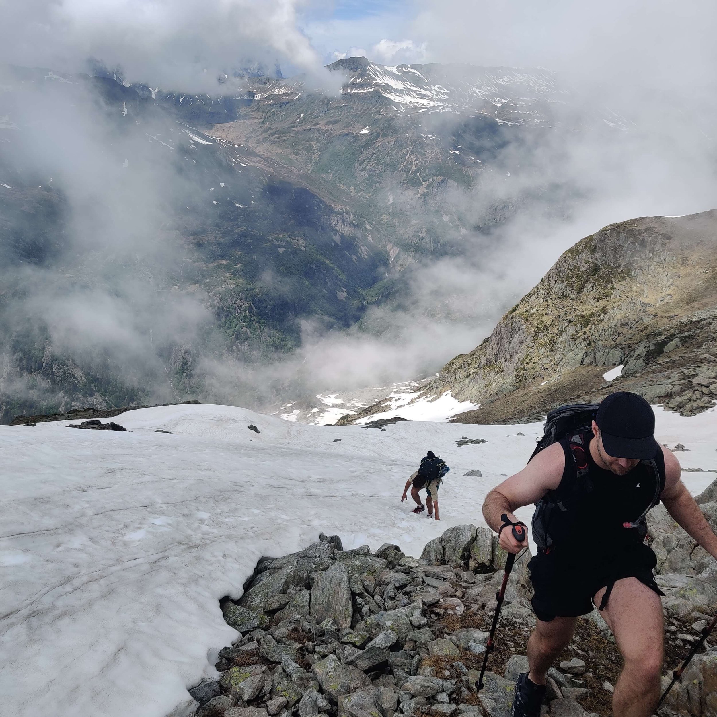
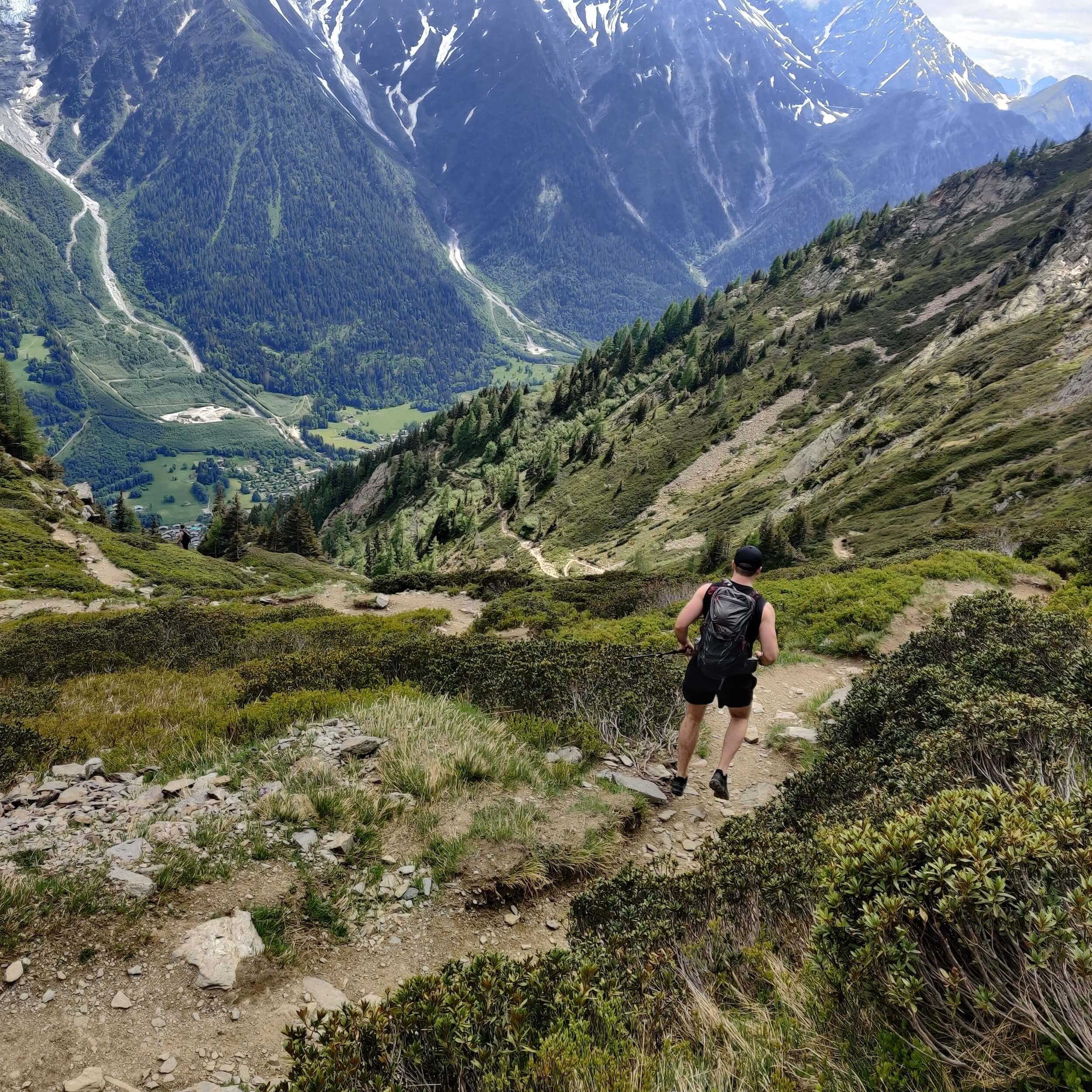
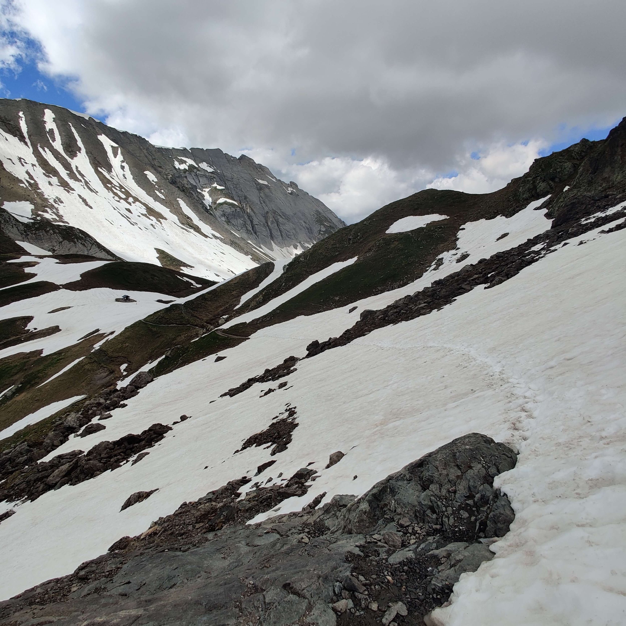
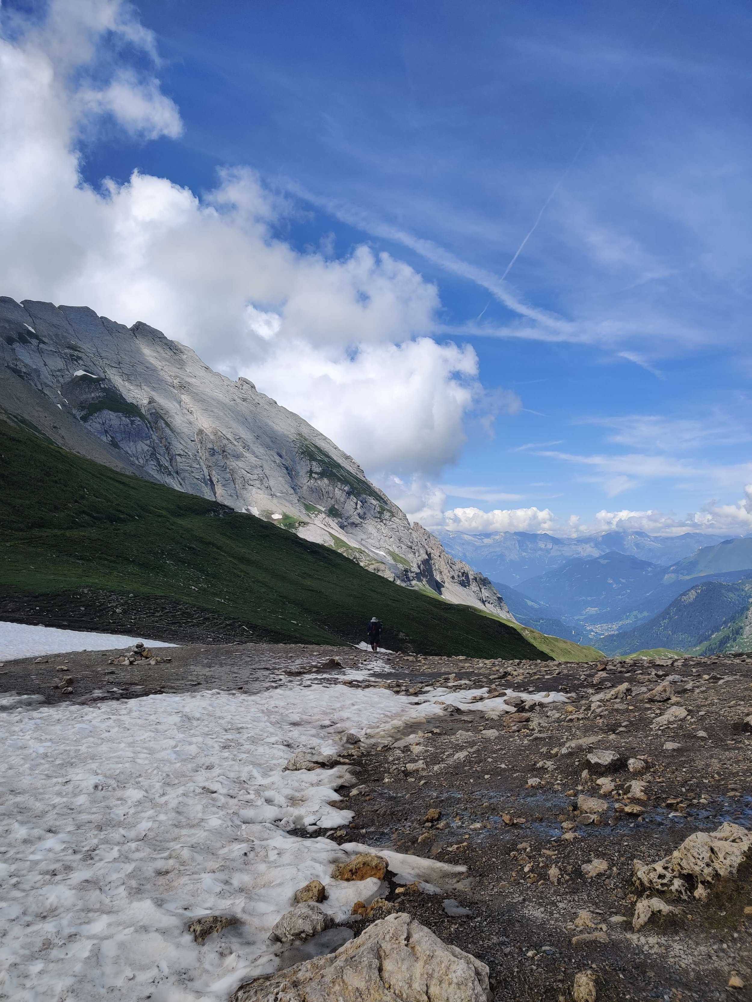
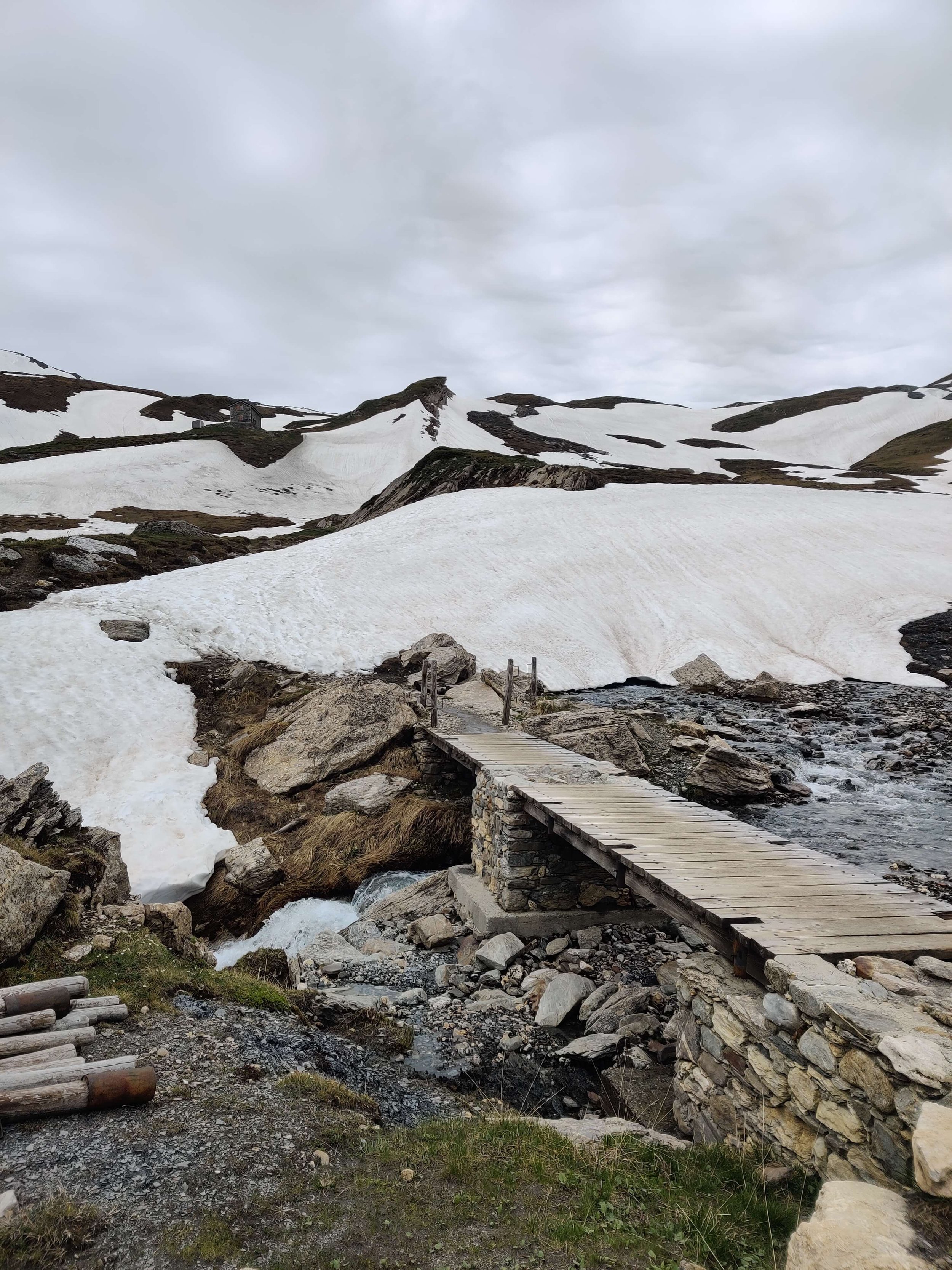
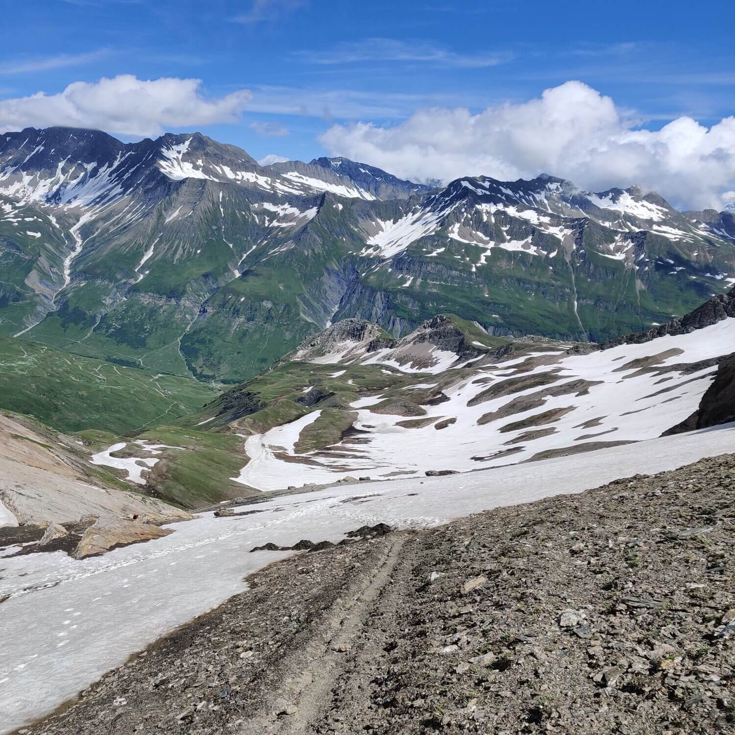
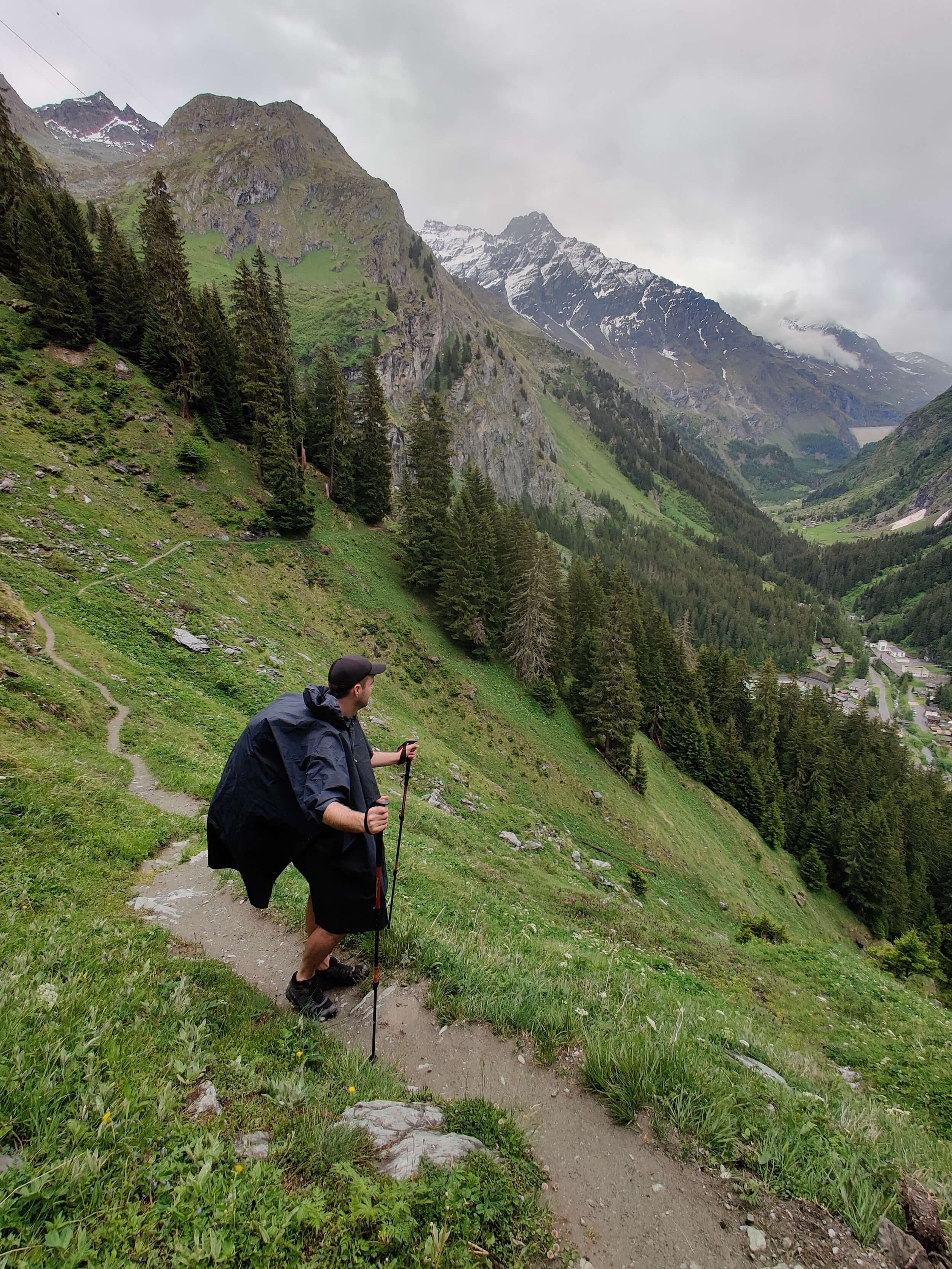
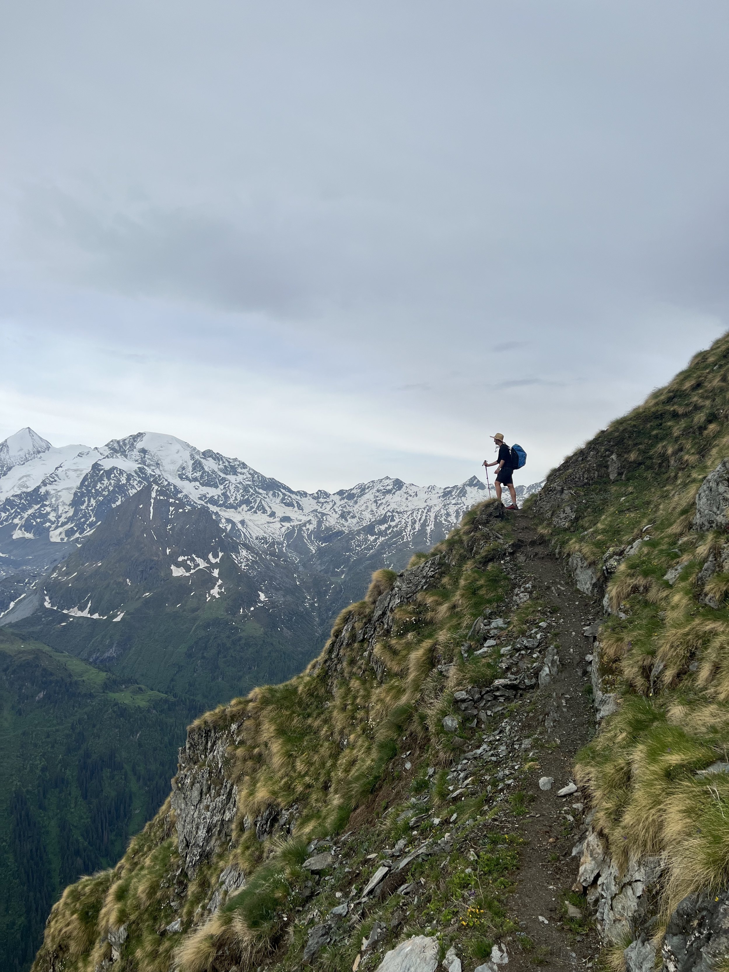
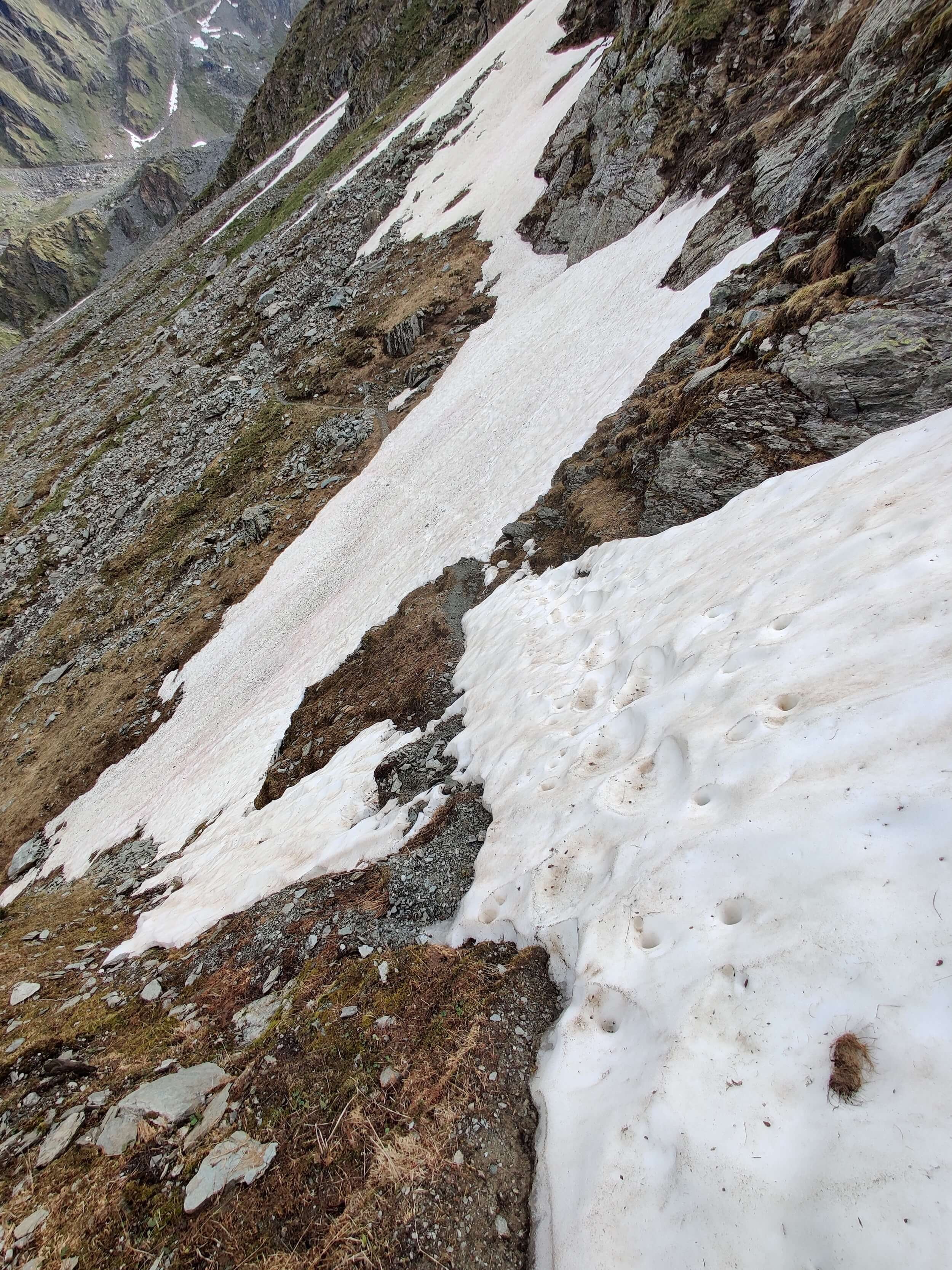
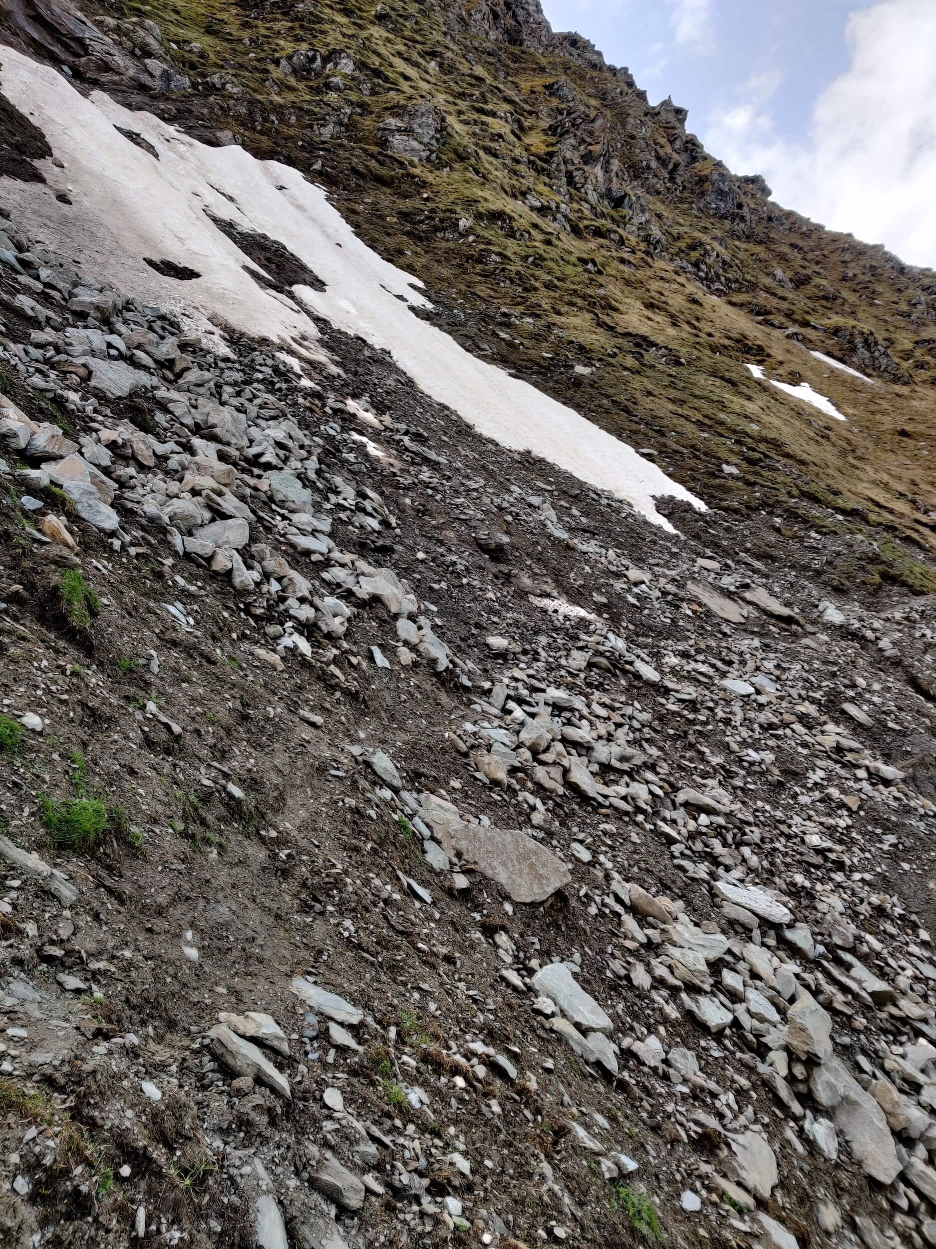
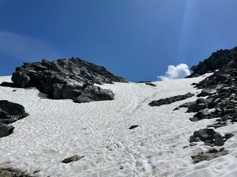
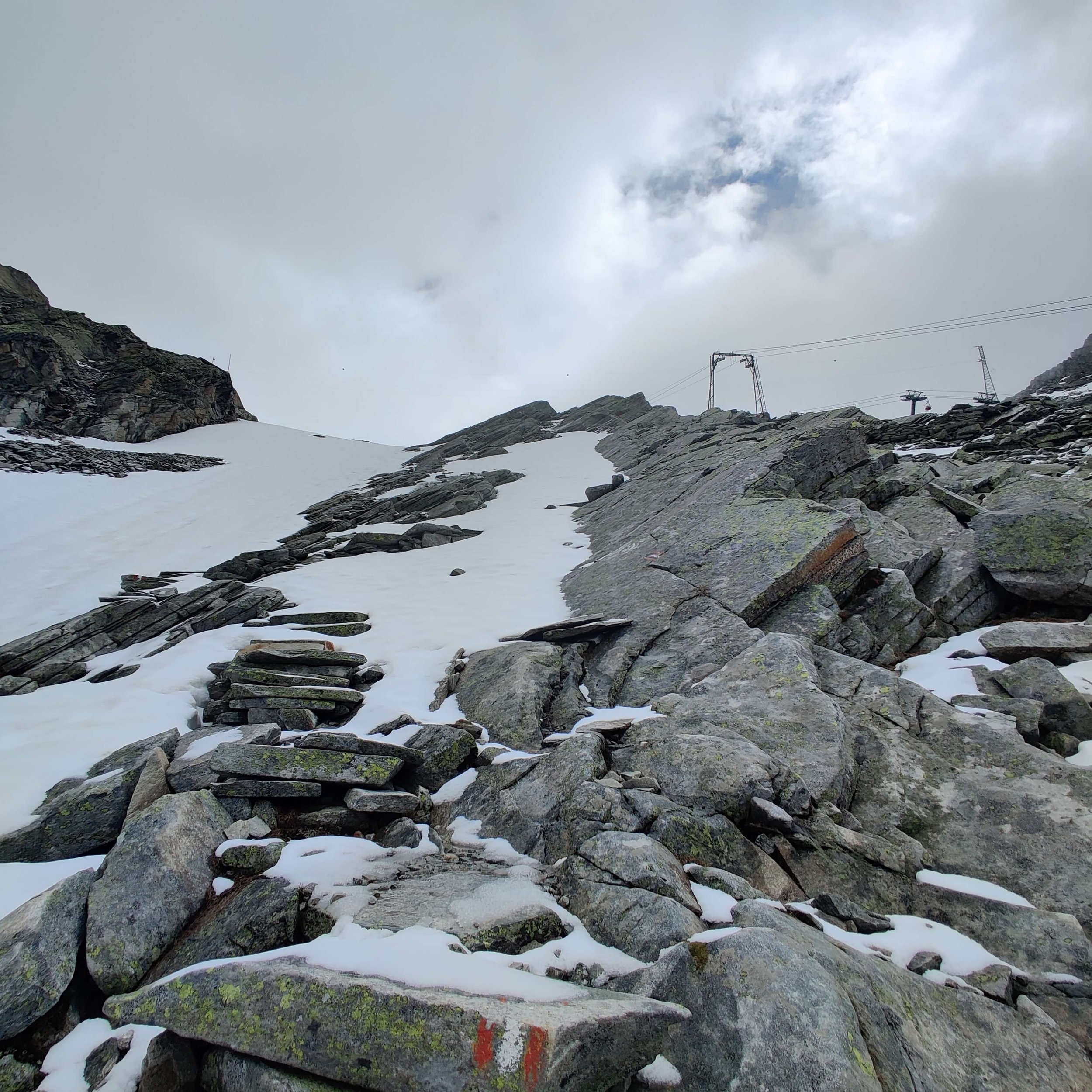
Today the weather was spectacular. It matched my morning optimistic mood. The trail up to Fenetre D’Arpette via Chalet du Glacier was tough going but very rewarding with the views towards Arpette valley and back to Trient glacier. The alternate route via Les Grands was smooth going until I hit steep snowfields past Refuge Les Grands on the way to Col de Balme.
The snow sections were too long and steep for me to safely cross at this point in the day. Instead of a "cruisy" downhill finish into Le Tour, I backtracked and ran 7km from Le Peuty to catch the last train into Chamonix! Luckily my hiking buddy Nick and I split up today so we were able to see trail conditions at both Fenetre D'Arpette and Col de Balme.
⛰️ Trail conditions:
Trail from Col de la Forclaz to Fenetre D'Arpette is possible, however continuing down into Arpette (East) isn't advised due to snow on the boulder field.
Trail from Col de Balme to Refuge Les Grands isn't advised due to steep snowfields.
Snow patches on the Le Peuty to Col de Balme section start at 1,940m / 6,365ft and 1.8km / 1.1mi from the top. Possible to cross with poles.
Update for 15th June 2022
Boulders below Fenetre d’Arpette on the east side are clear of snow and hikers passing through daily.
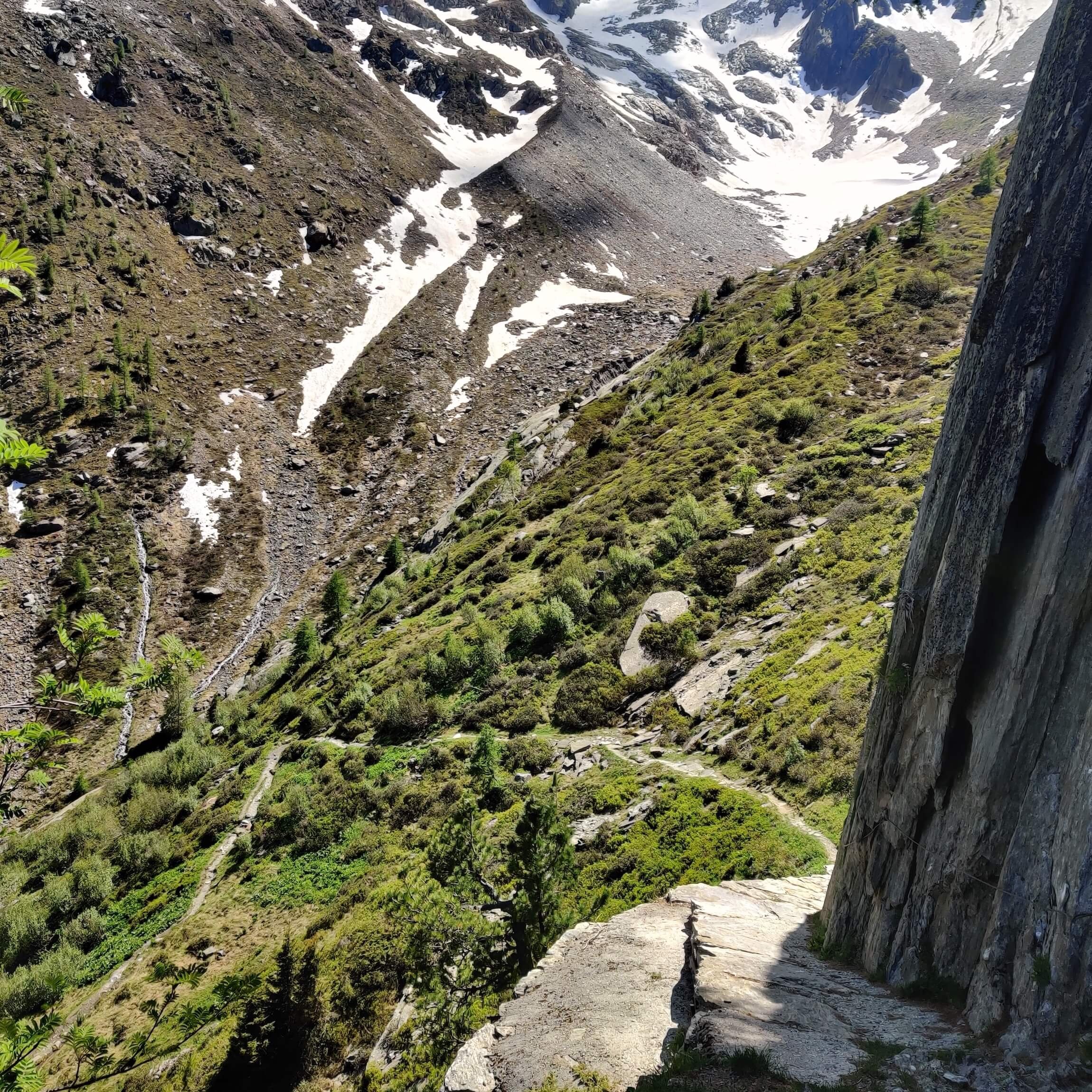
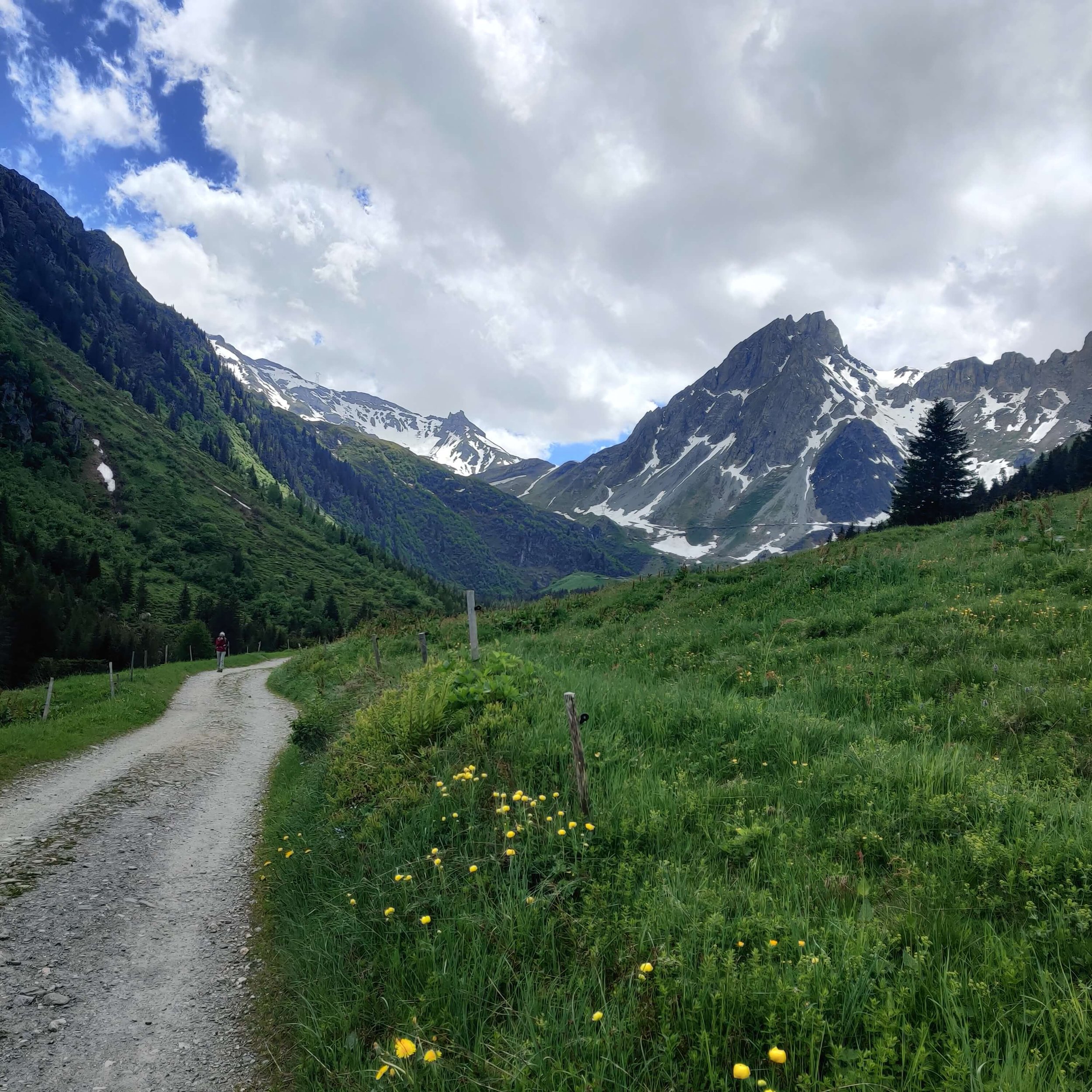
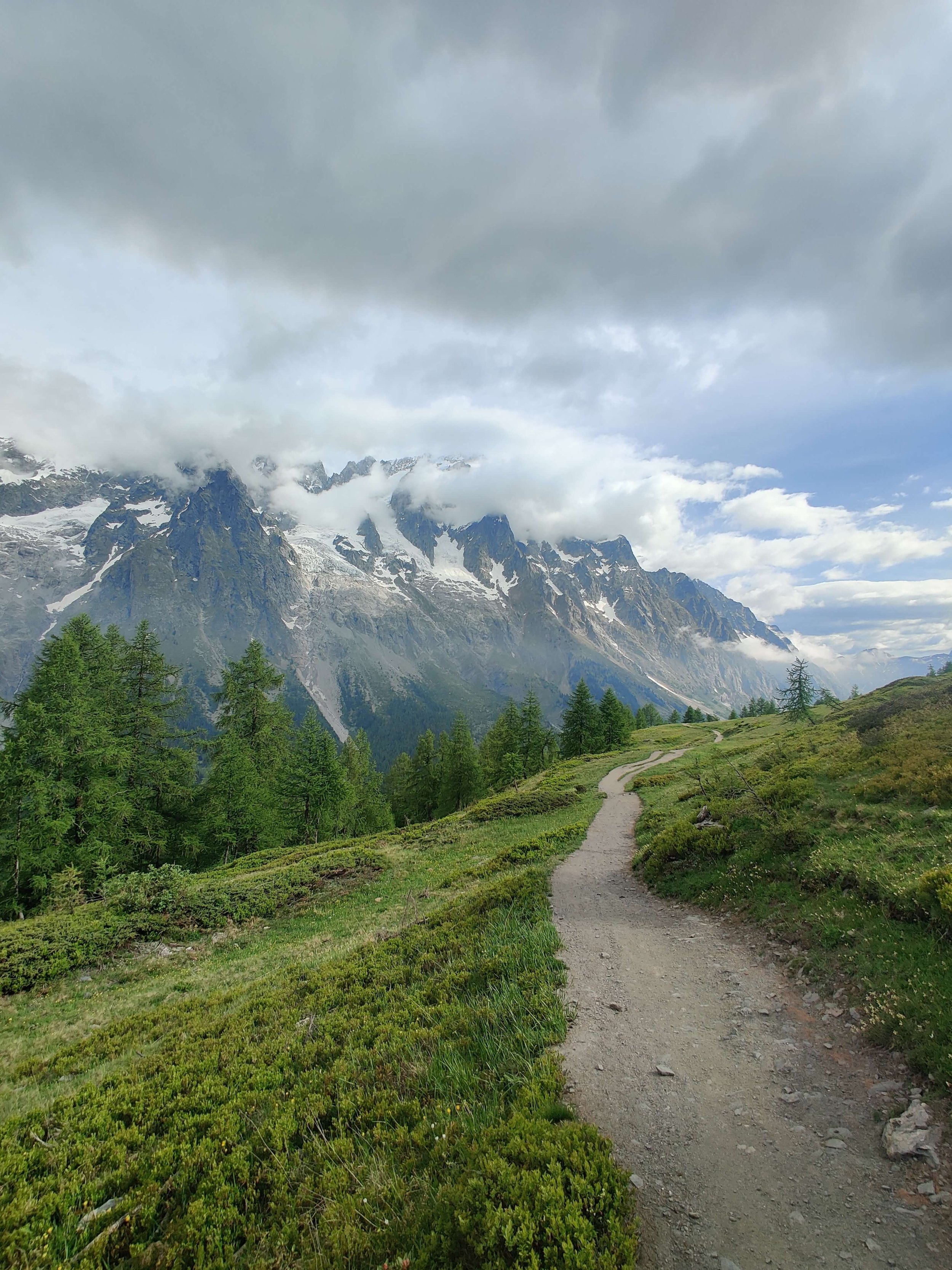
MAY 28TH 2022: GRAND BALCON SUD (ARGENTIERE TO LES HOUCHES)
Start location: Argentiere, France
Finish location: Les Houches, France
Hikes following this trail: Tour du Mont Blanc
Distance: 26km / 16mi
Elevation gain: 1,738m / 5,702ft
Highest point: Le Brevent 2,525m / 8,284ft
Time: 8 hours
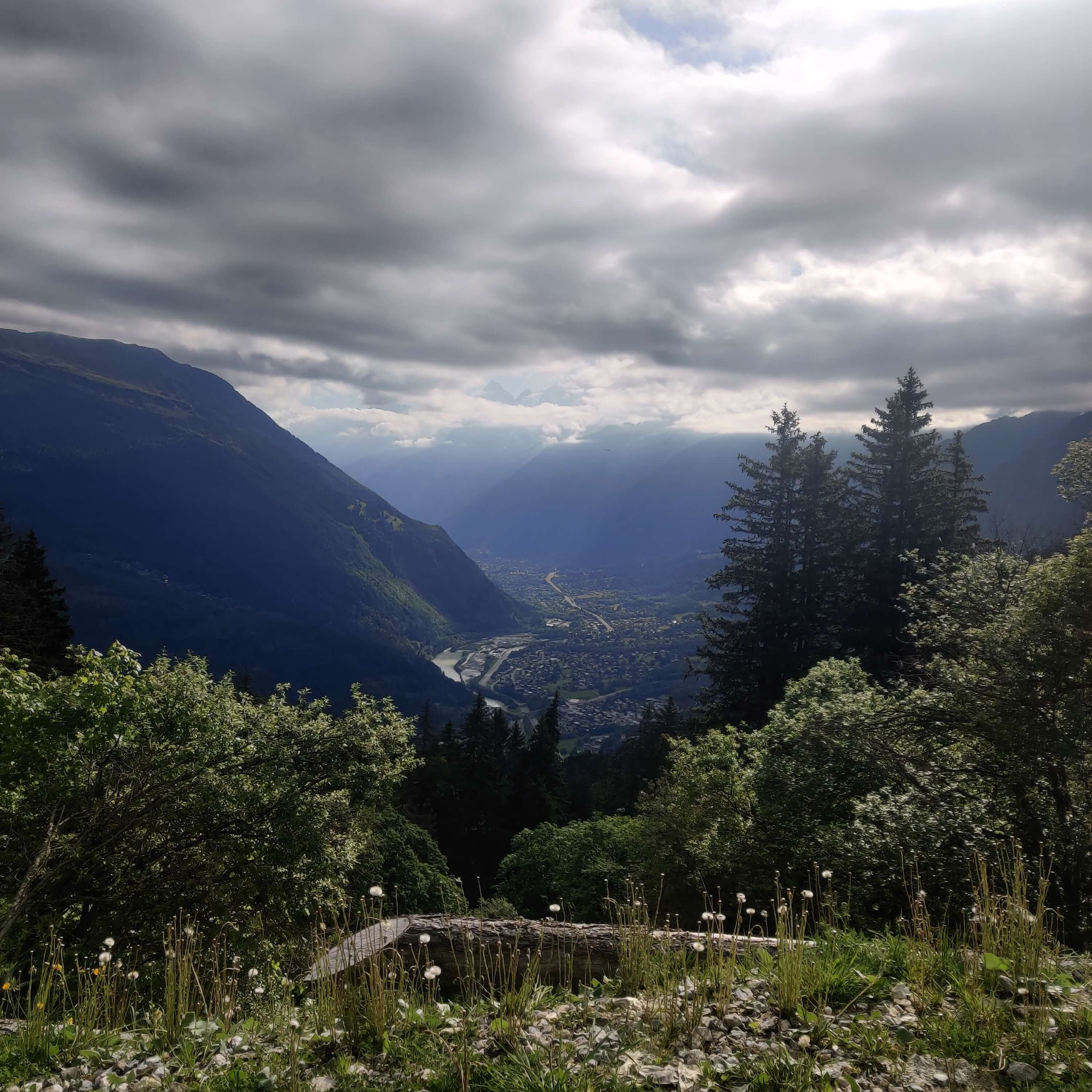
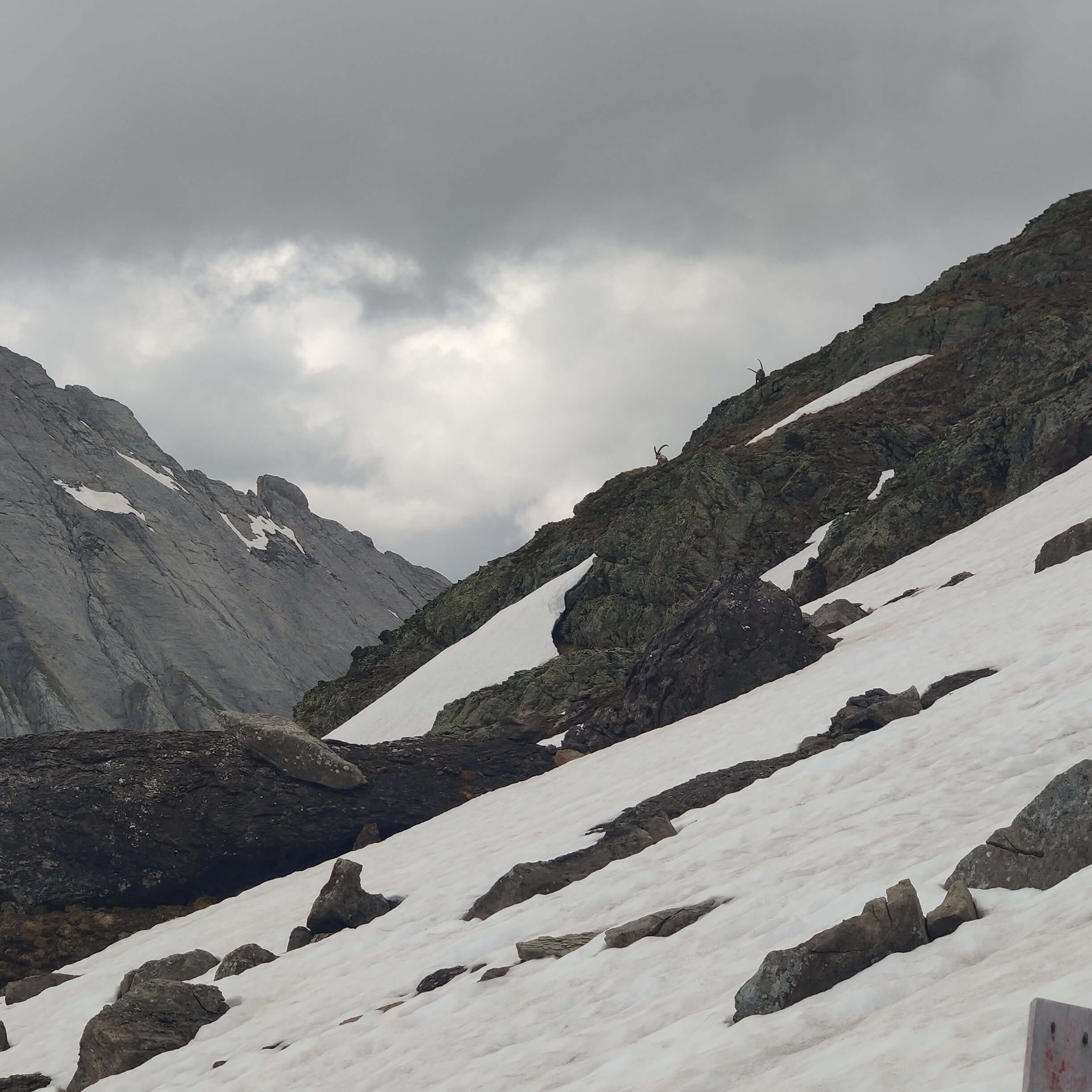
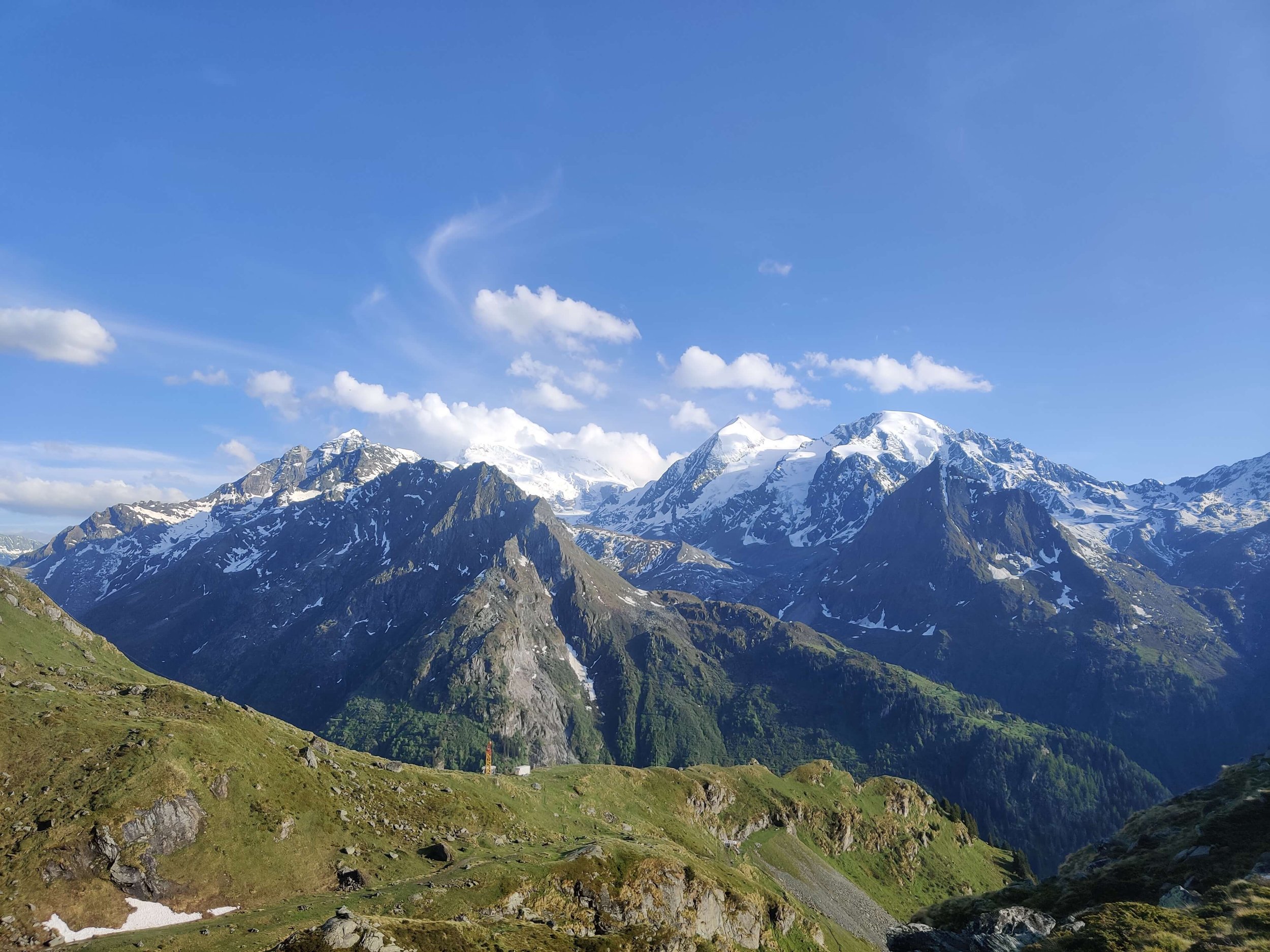
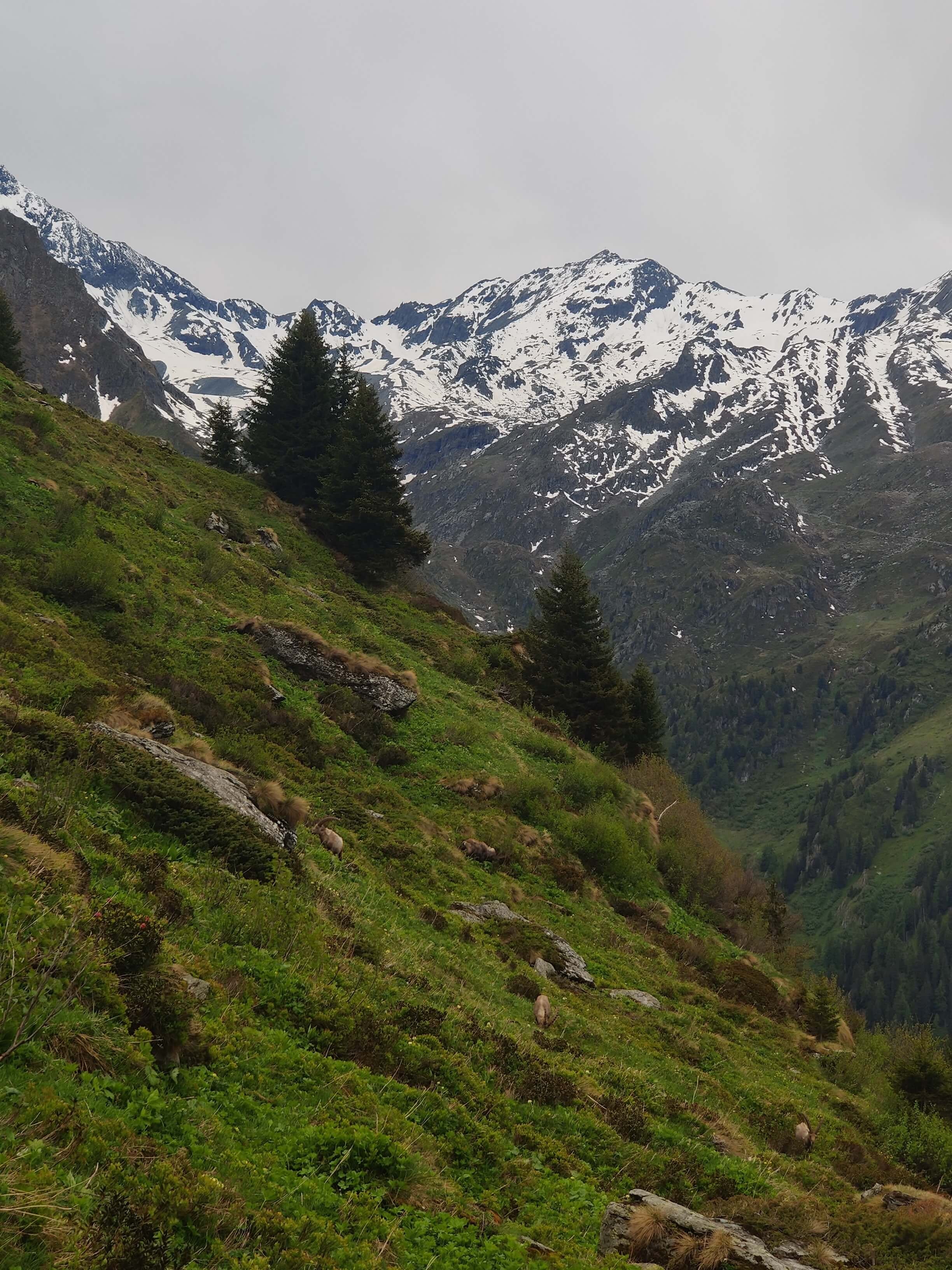
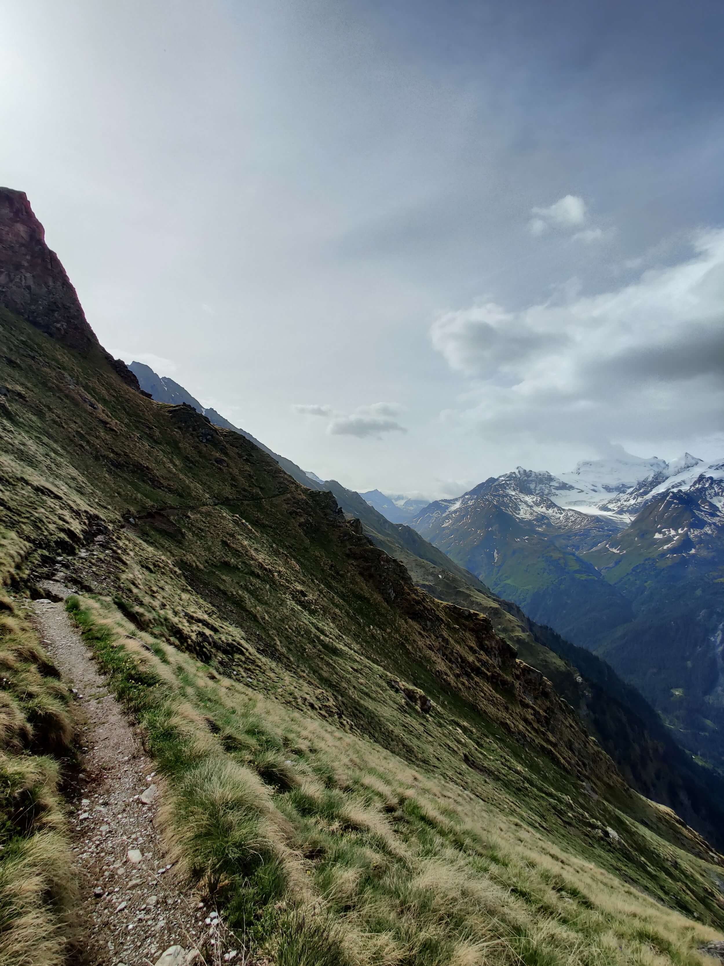
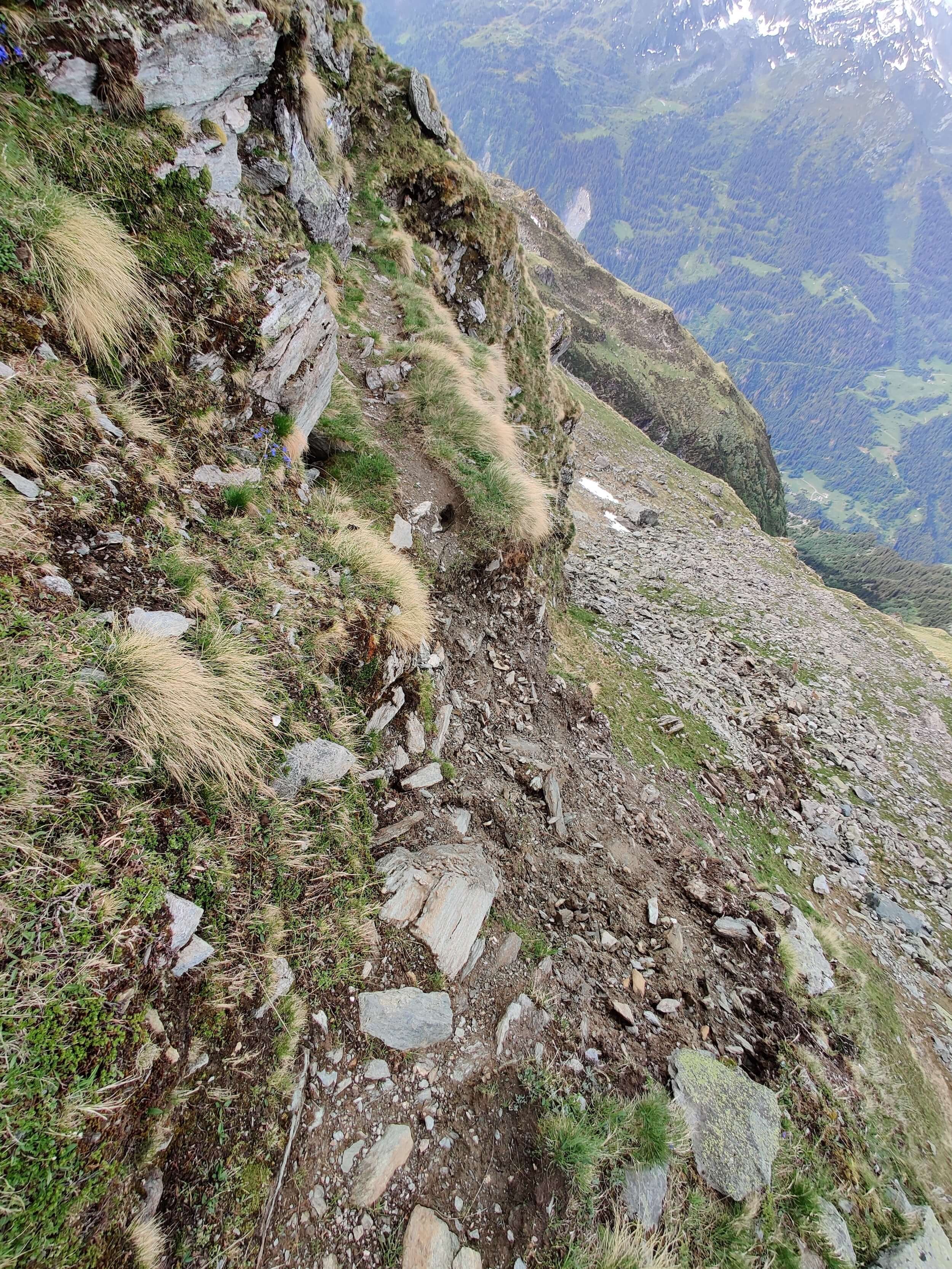
Day 4 on the trail and it finally went according to plan! No alternate routes, no backtracking, no unscheduled public transport assistance. What a relief. It started sunny in the valley but clouds quickly set in and visibility was reduced. Unfortunately no views of Mont Blanc until the final couple of hours. But we were rewarded with 20+ ibex on the trail, probably due to only seeing about ~30 people along the trail with no gondolas running yet.
⛰️ Trail conditions:
Trail clear of snow from Argentiere until Plan Praz ski area, where there is a substantial amount.
No snow to cross between Plan Praz to Col du Brevent.
Snow begins again at 2,360m / 7,743ft where there is a substantial amount up to Le Brevent. Microspikes were needed.
The trail from Le Brevent to Refuge Bellachat had some snow patches but was easy to cross without microspikes.
Based on current conditions, it is advised to take microspikes for the Col du Brevent to Le Brevent section.
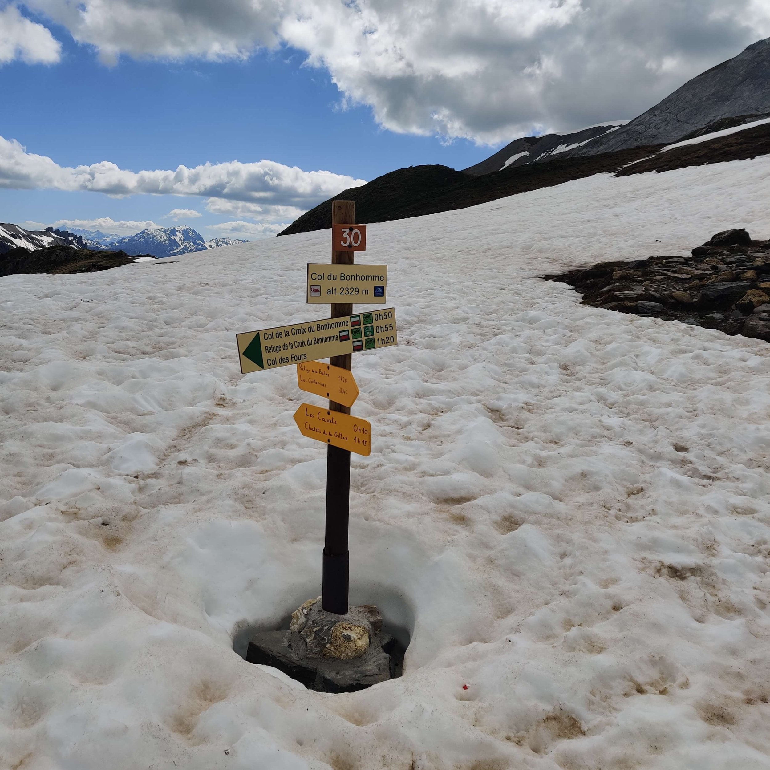
MAY 29TH 2022: LES HOUCHES TO REFUGE COL DE LA CROIX DU BONHOMME

Start location: Les Houches, France
Finish location: Refuge Col de la Croix du Bonhomme, France
Hikes following this trail: Tour du Mont Blanc
Distance: 33km / 20mi
Elevation gain: 2,377m / 7,799ft
Highest point: Col de la Croix 2,485m / 8,150ft
Time: 8 hours 45 minutes
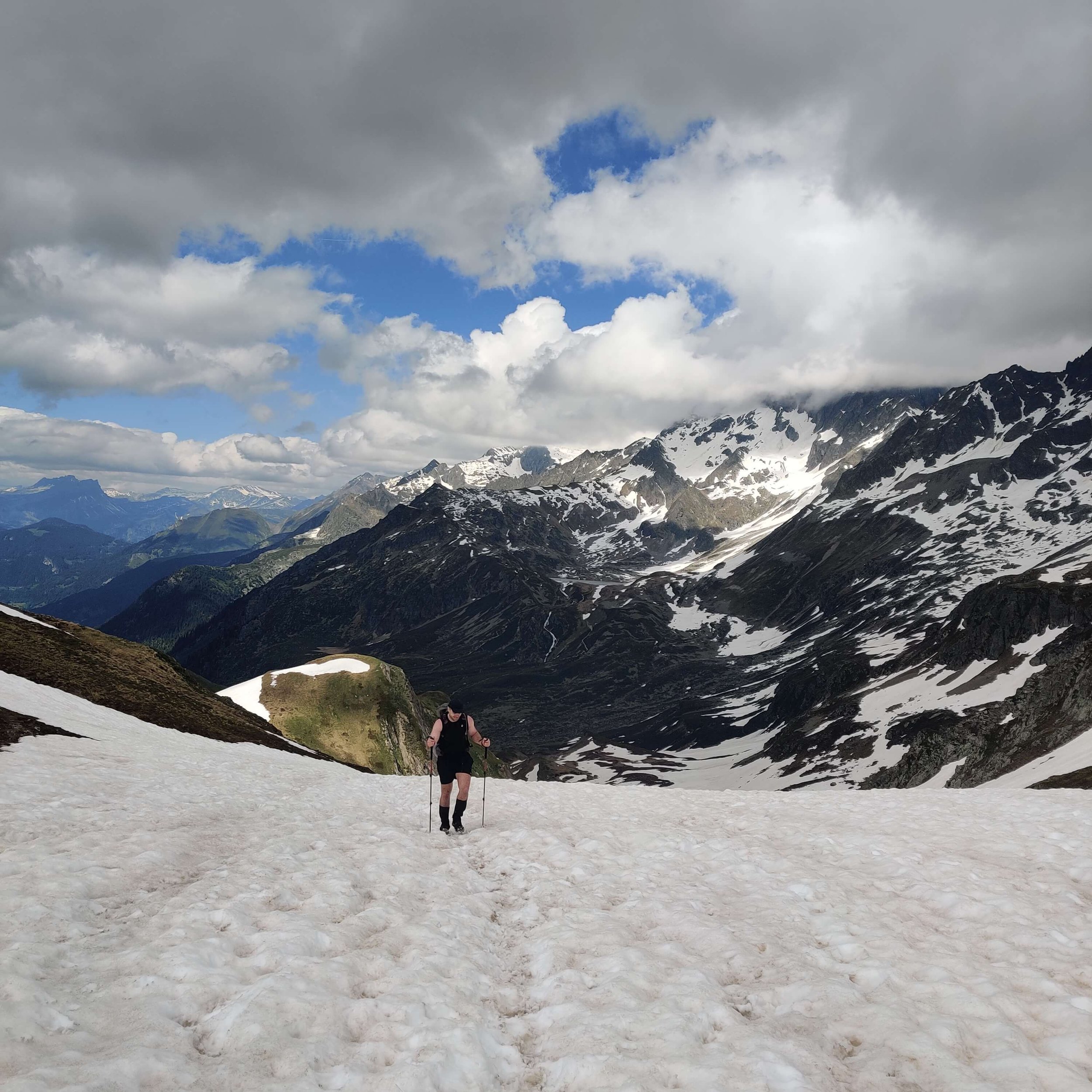
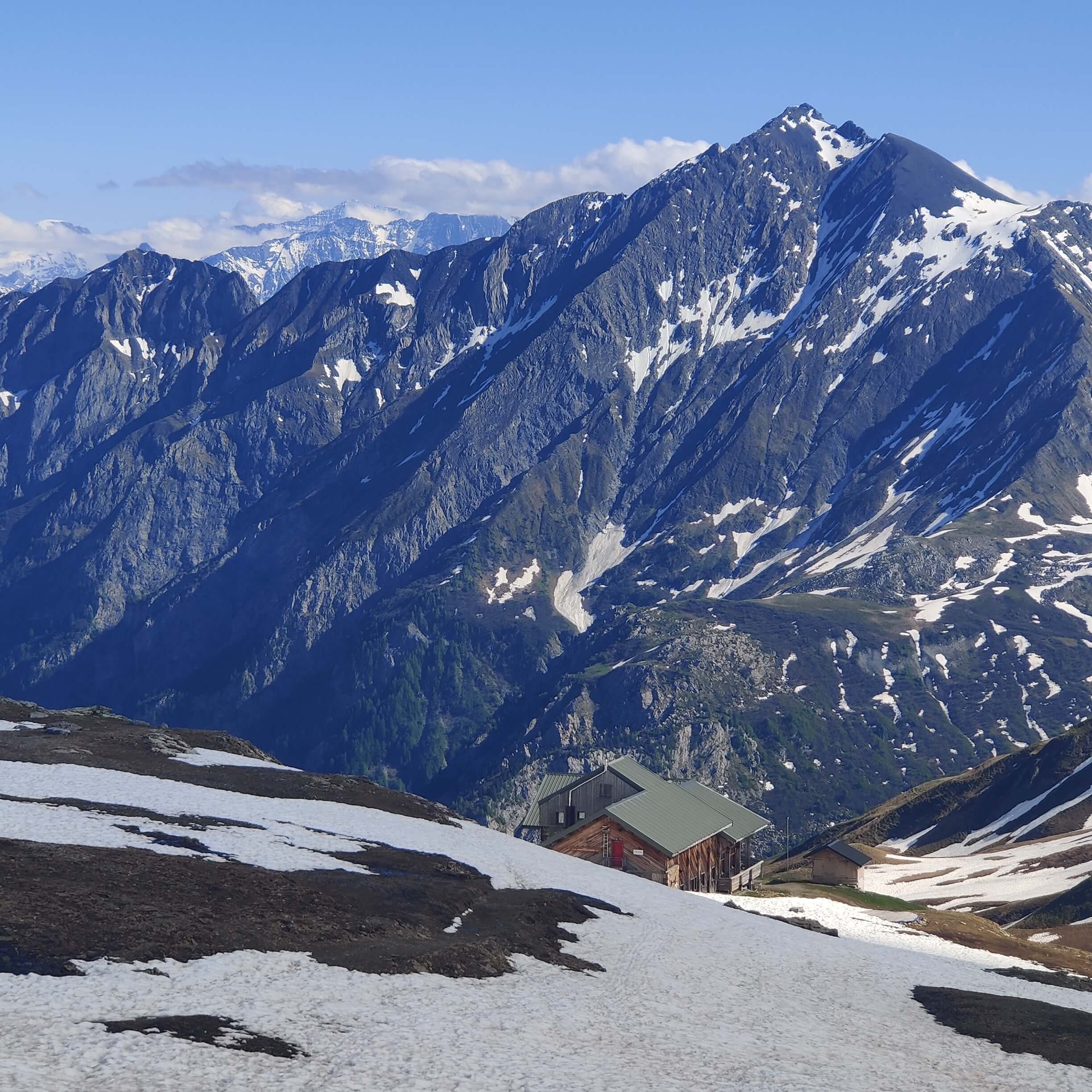
Day 5 of our 2022 Break the Trail route was the biggest so far, both from a distance and elevation gain perspective. Upon reaching Col de Voza, we decided to change up our route and take the main Tour du Mont Blanc trail, rather than the alternate route via Col du Tricot. This would give us more time if we encountered tough snow conditions at the end of the day in the higher alpine section. Pat will return to complete the Col du Tricot alternate route next week once he is back in Chamonix.
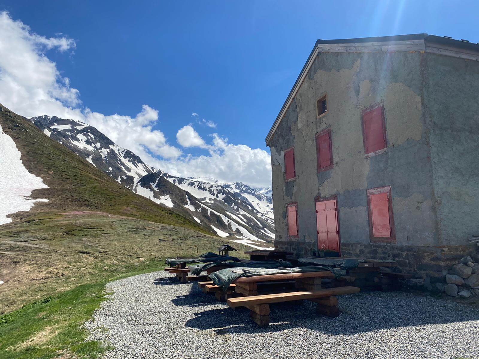
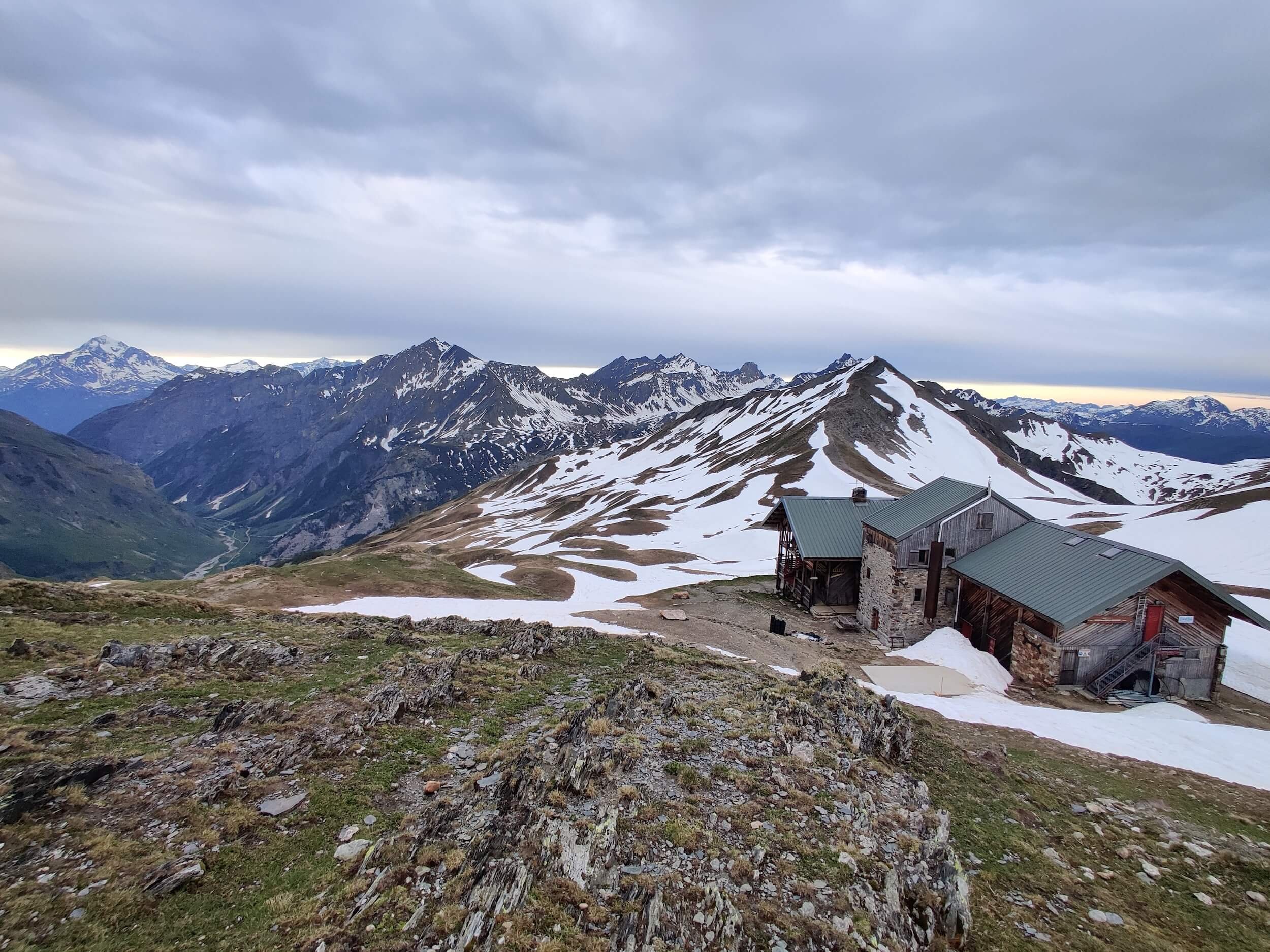
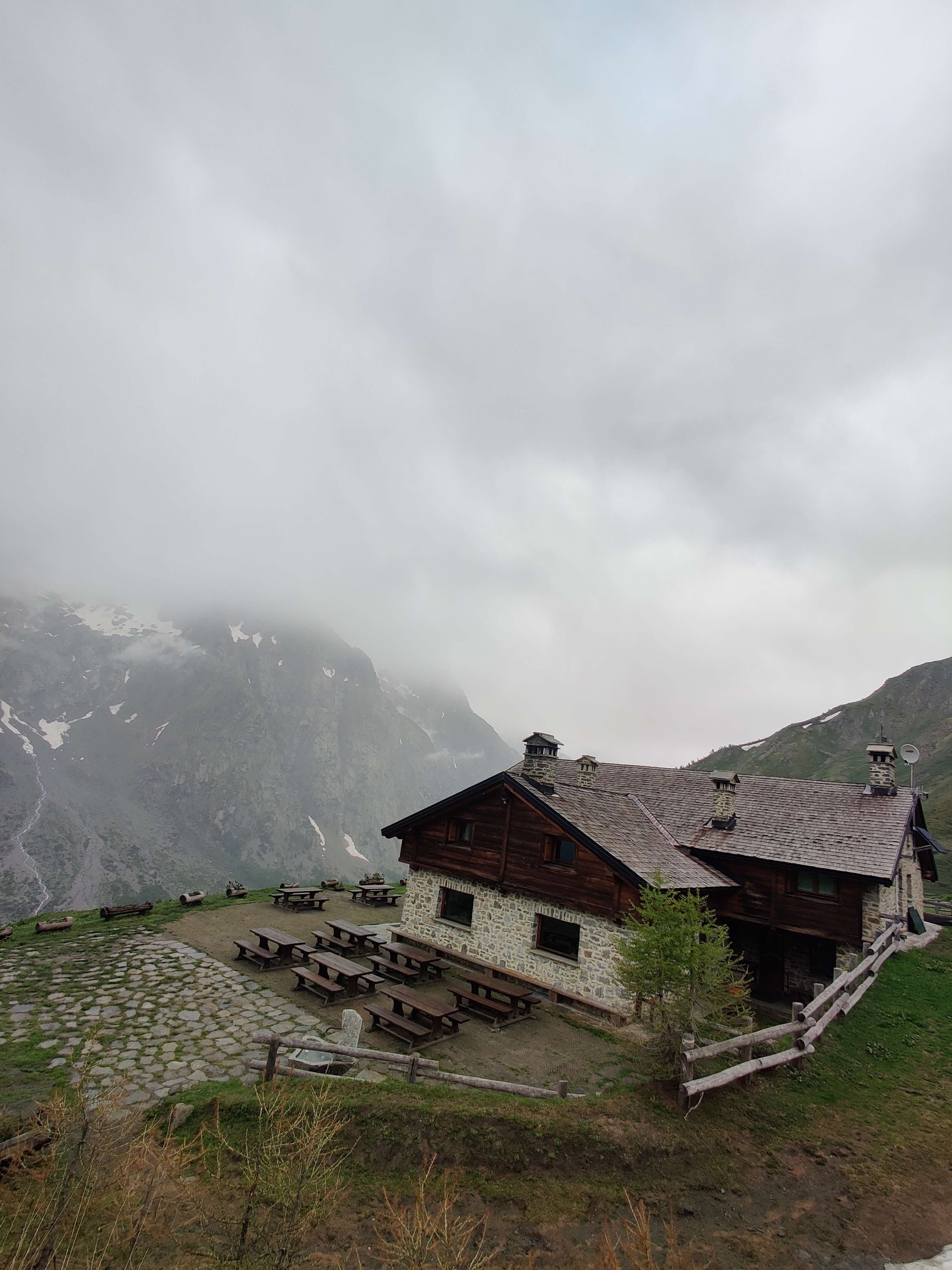
🛖 Accommodation: Tonight we stayed in the winter room at Refuge de la Croix du Bonhomme. Although the hut guardian was onsite, they are not yet open for guests. We were the only ones in the winter room and got to enjoy the sunset over the Alps in absolute peace and serenity!
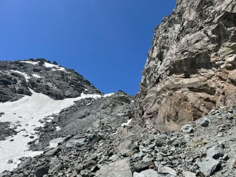
⛰️ Trail conditions: There is still significant snow to cross in the ascent to Col de la Croix, however much less than previous years with exposed ridges and patches.
The trail is clear of snow over Col de Voza (1,657m / 5,436ft) above Les Houches
The first patch of snow along this trail section is above Refuge de la Blame at 1,800m / 5,900ft
The snowline is at 2,090m / 6,857ft, however there are still exposed ridges that allow you to avoid some of the snow
Thankfully, someone had already made tracks in the snow to Col de la Croix which made this section easier.
⛏️ Recommended gear: Based on current conditions, microspikes and poles were useful to assist on the ascent to Col du Bonhomme and Col de la Croix. We had our ice axes on hand during the first steep snow section, but wasn’t really necessary as a good track had already been formed.
COMPARING CONDITIONS TO PREVIOUS YEARS
1) Ascent to Col du Bonhomme
29 May 2022
4 July 2020
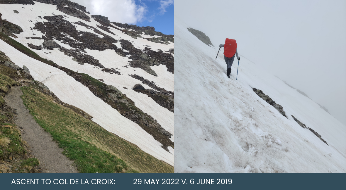
2) Ascent to Col de la Croix
29 May 2022

6 June 2019
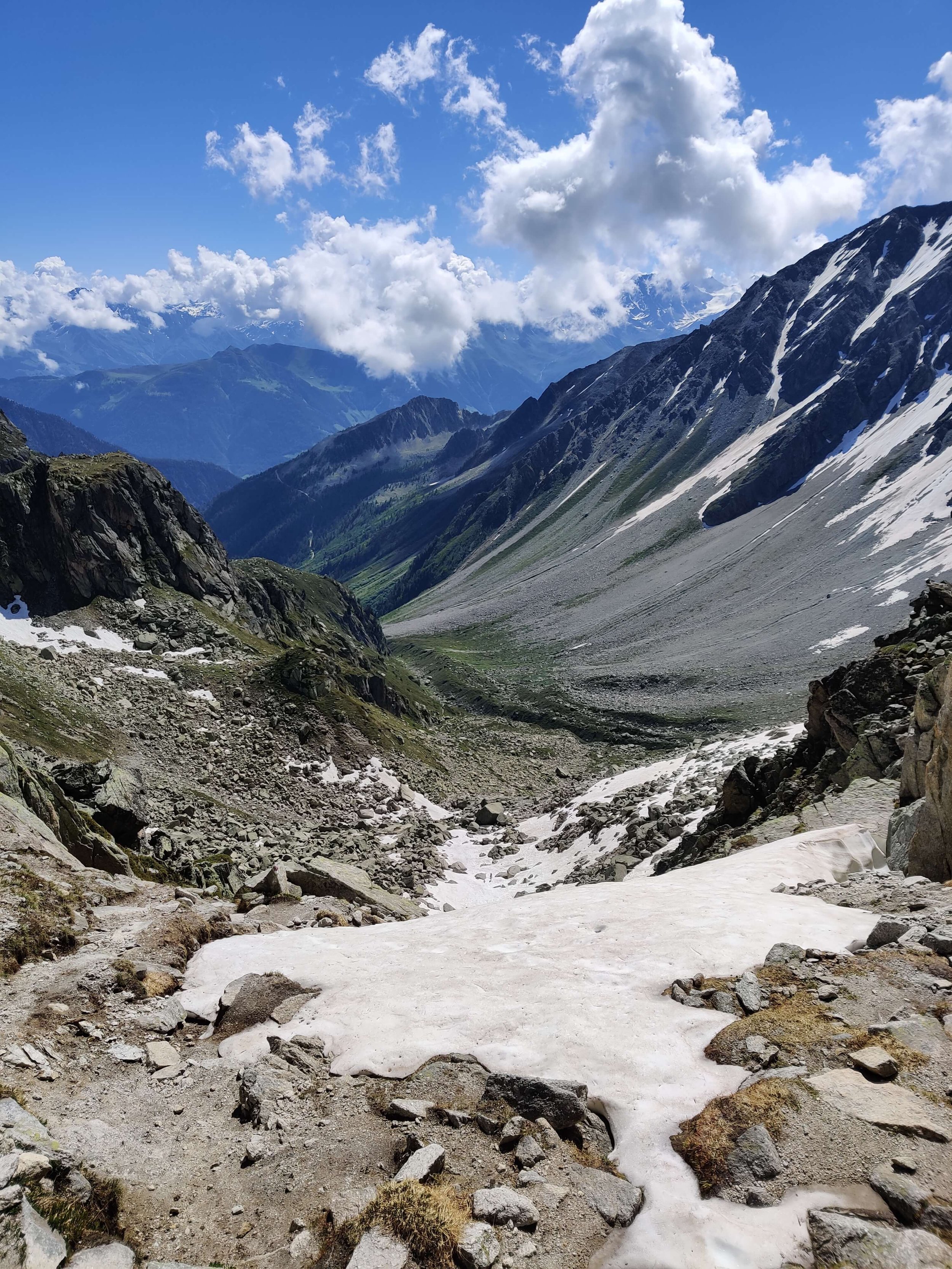
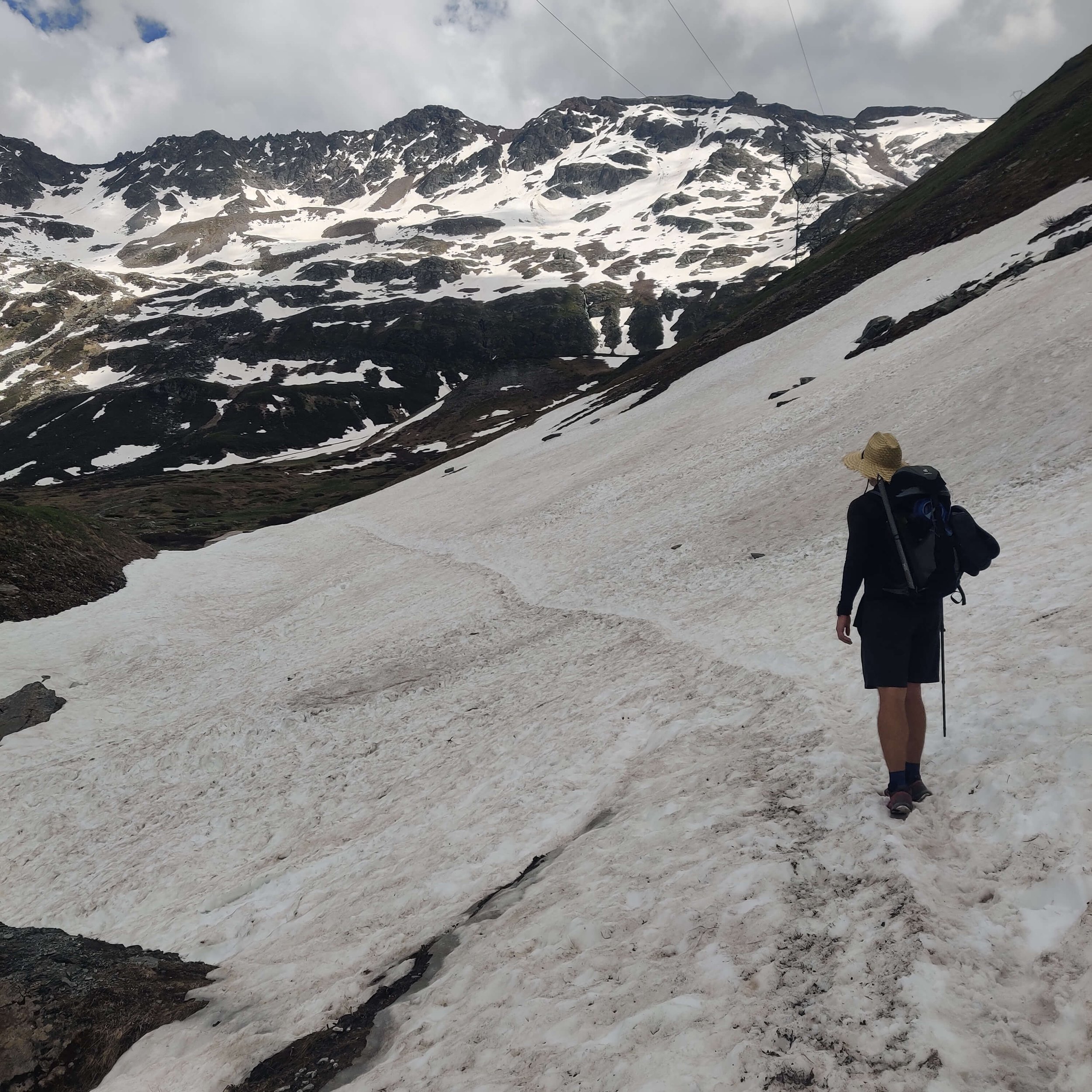
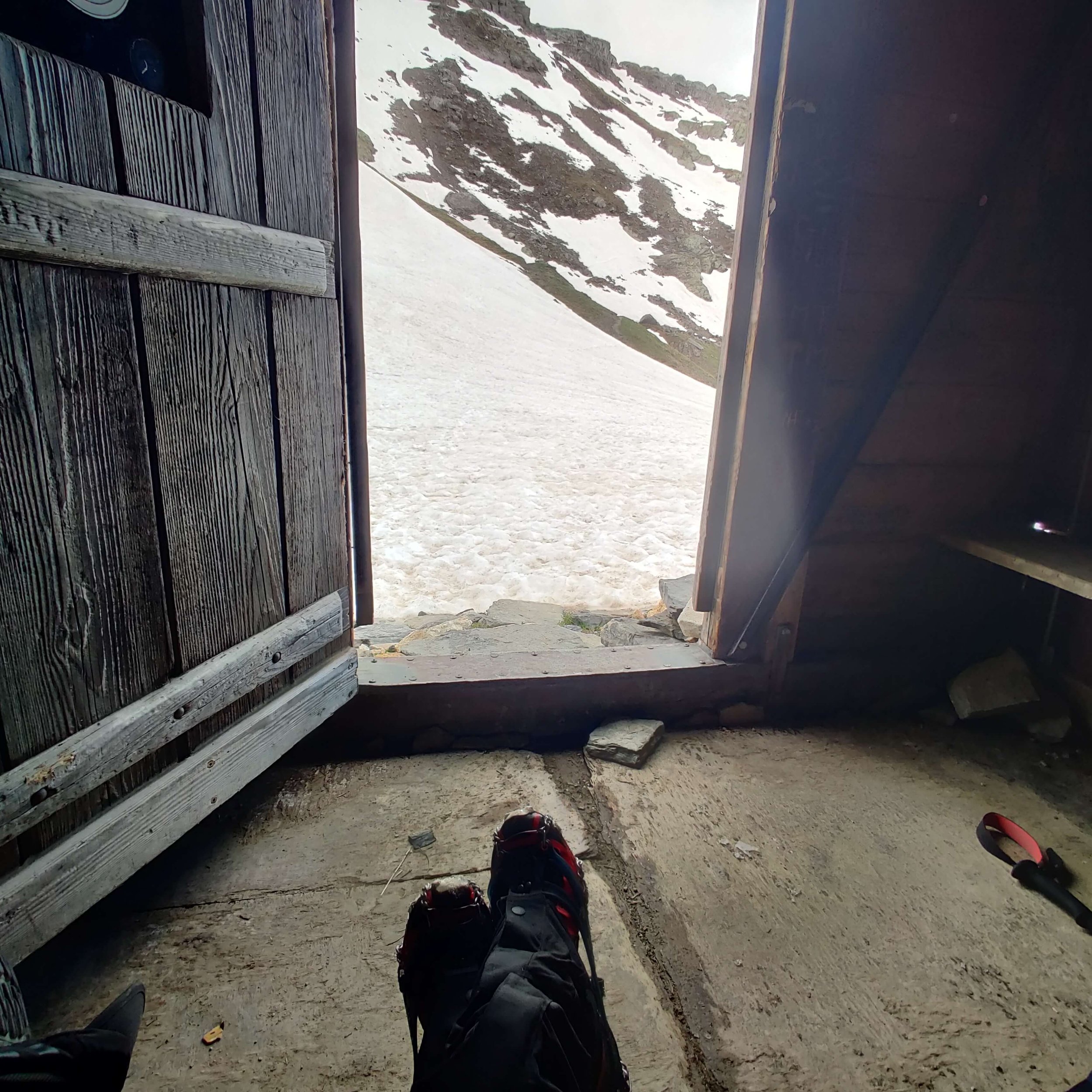
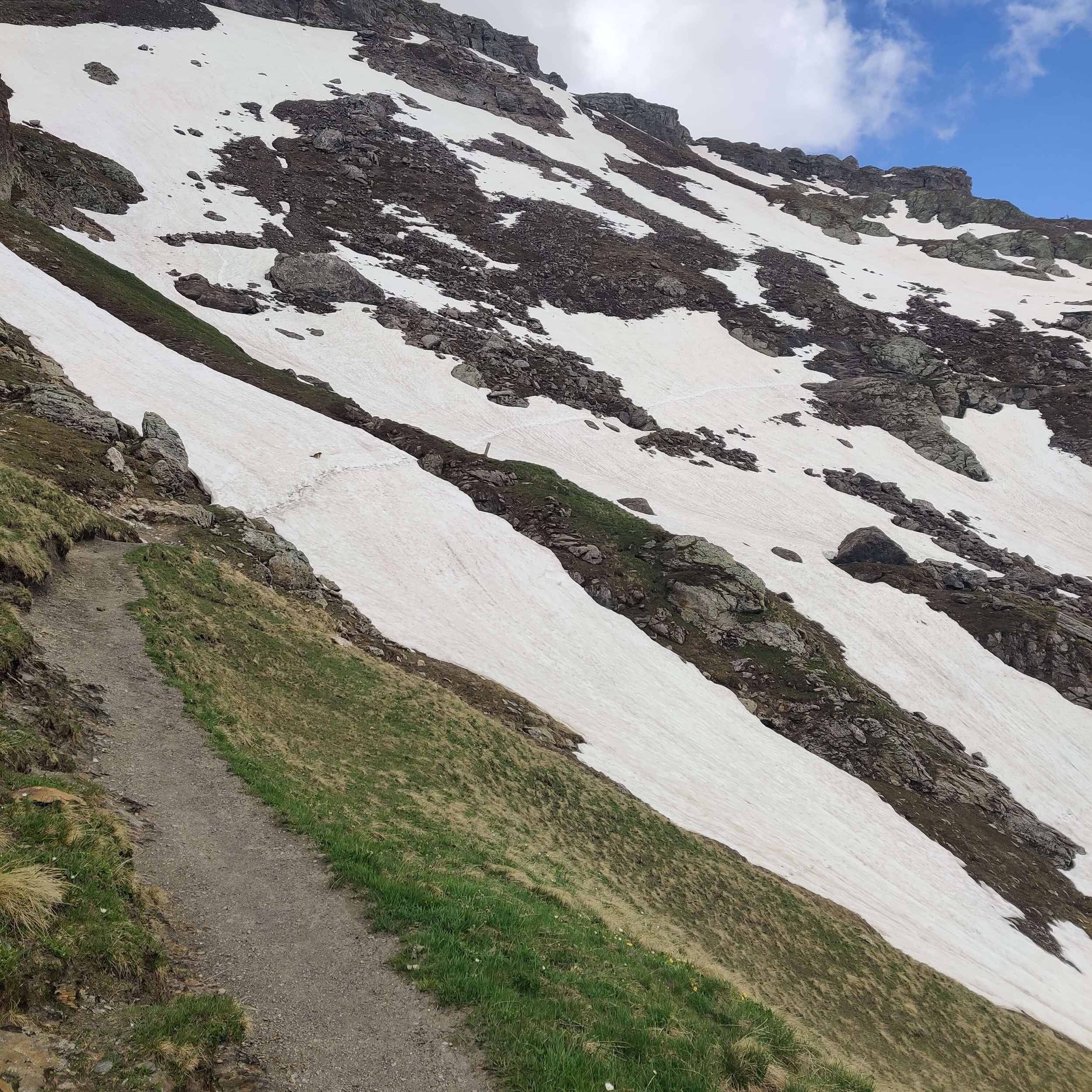
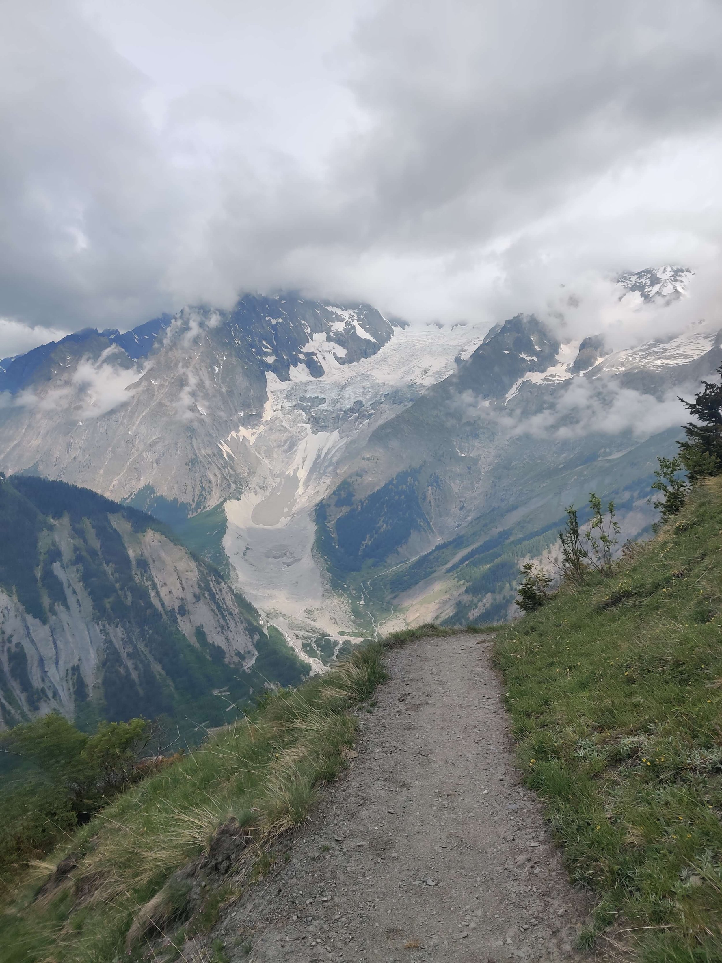
MAY 30TH 2022: REFUGE COL DE LA CROIX DU BONHOMME TO COURMAYEUR

Start location: Refuge Col de la Croix du Bonhomme, France
Finish location: Courmayeur, Italy
Hikes following this trail: Tour du Mont Blanc
Distance: 33km / 20mi
Elevation gain: 1,520m / 5,000ft
Elevation loss: 2,737m / 9,000ft
Time: 11 hours
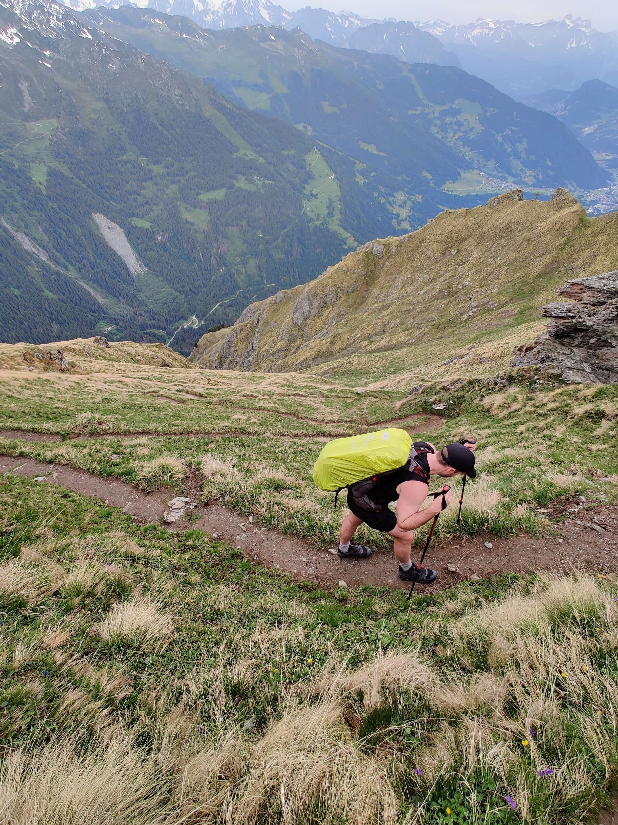
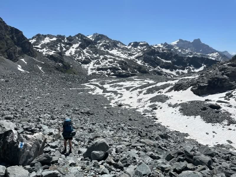
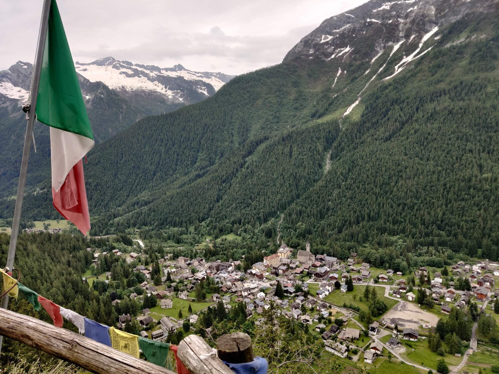
Day 6 of our Break the Trail hike and it was the longest day - 11 hours on the trail. It was also the biggest day of descent, giving our knees a solid workout. Needless to say, we were exhausted and relieved to reach Courmayeur and tuck into a delicious pizza! Everything tastes better after a tough day on the trail. Am I right?
⛰️ Trail conditions: Still a significant amount of snow on this section of the TMB trail.
Only a few bare ground patches on the way up from Col de la Croix to Col des Fours (2,665m / 8,743ft)
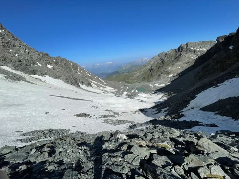
Snowline at 2,190m / 7,185ft on the Villes de Glacier side of Col des Fours, making for slow travel down - Trail from Refuge des Mottets was pretty good. Only a few snow patches up to Col de la Seigne (2,516m / 8,255ft)
Snow covered most of the trail on the Italian side (East) of Col de la Seigne, until you reach the bridge at 2,300m / 7,546ft
Some snow patches covering the road below Rifugio Elisabetta and on the way up to Mont Favre Spur (2,430m / 7,800ft). However there are already some tracks in the snow making it easier to cross.
The section between Mont Favre Spur and Refugio Maison Ville was a little more difficult with some steep and hard to cross snow sections. Take caution here.
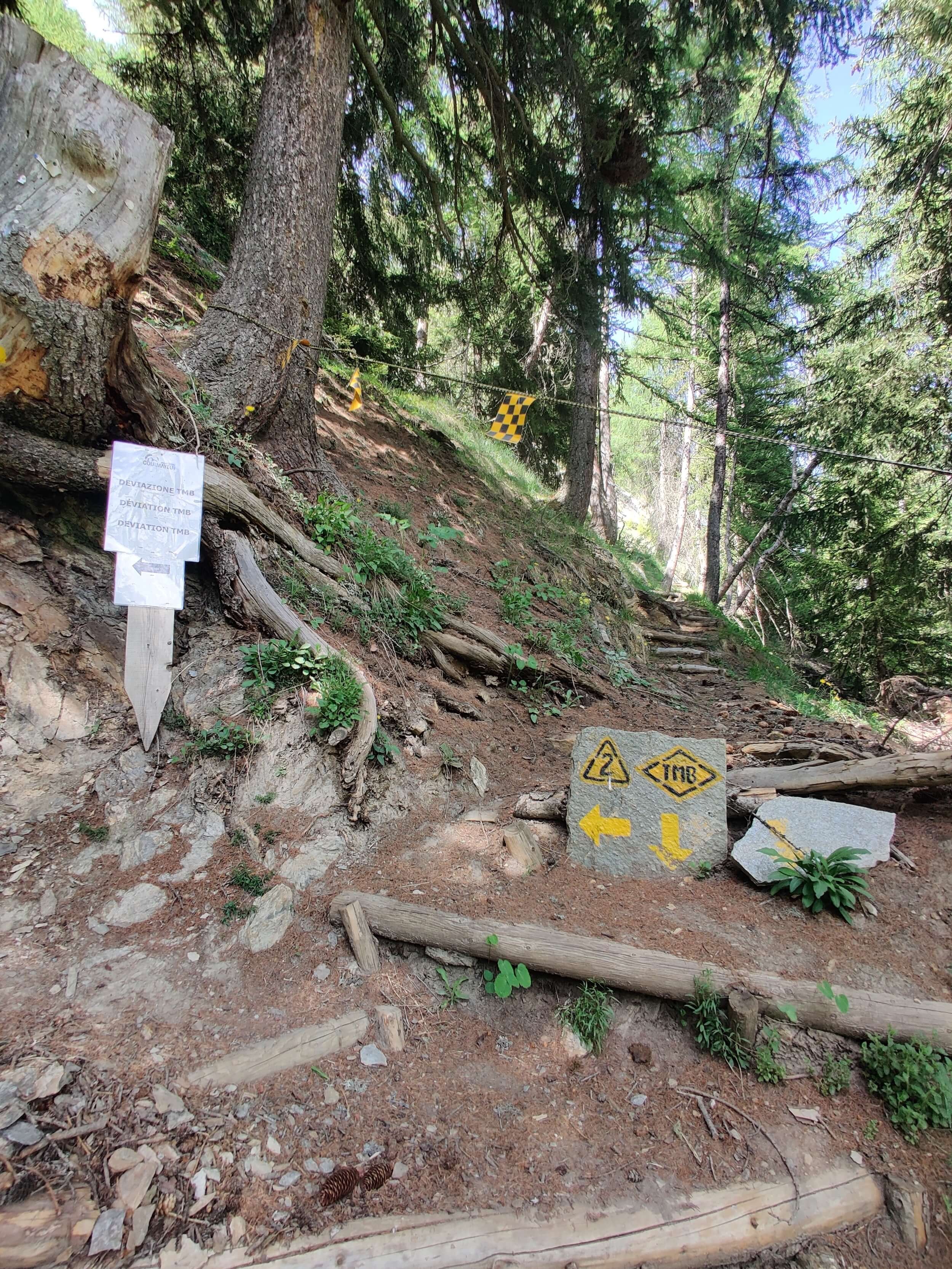
🥾 Trail updates: There is a trail diversion in place near the top station of Dolonne cable car due to major earth works.
⛏️ Recommended gear: Based on current conditions, microspikes and poles were useful to assist today. We used our ice axes to descend from Col des Fours and wouldn’t recommend this route at this time unless you were comfortable crossing potentially firm snow (depends on the weather at the time you cross).
❄️ Weather update: Don’t forget that you should prepare for 4 seasons in the Alps. Today it was 0 Celsius / 32 Fahrenheit and very windy on the passes.
COMPARING CONDITIONS TO PREVIOUS YEARS
1) Looking down into Valle del Glacier from Col des Fours

May 30 2022
4 July 2020
2) Hard to cross snow patch to cross between Mont Farv Spur and Rifugio Maison Ville
30 May 2022

8 June 2019
3) Snow when descending into Italy from Col de la Seigne

30 May 2022

8 June 2019
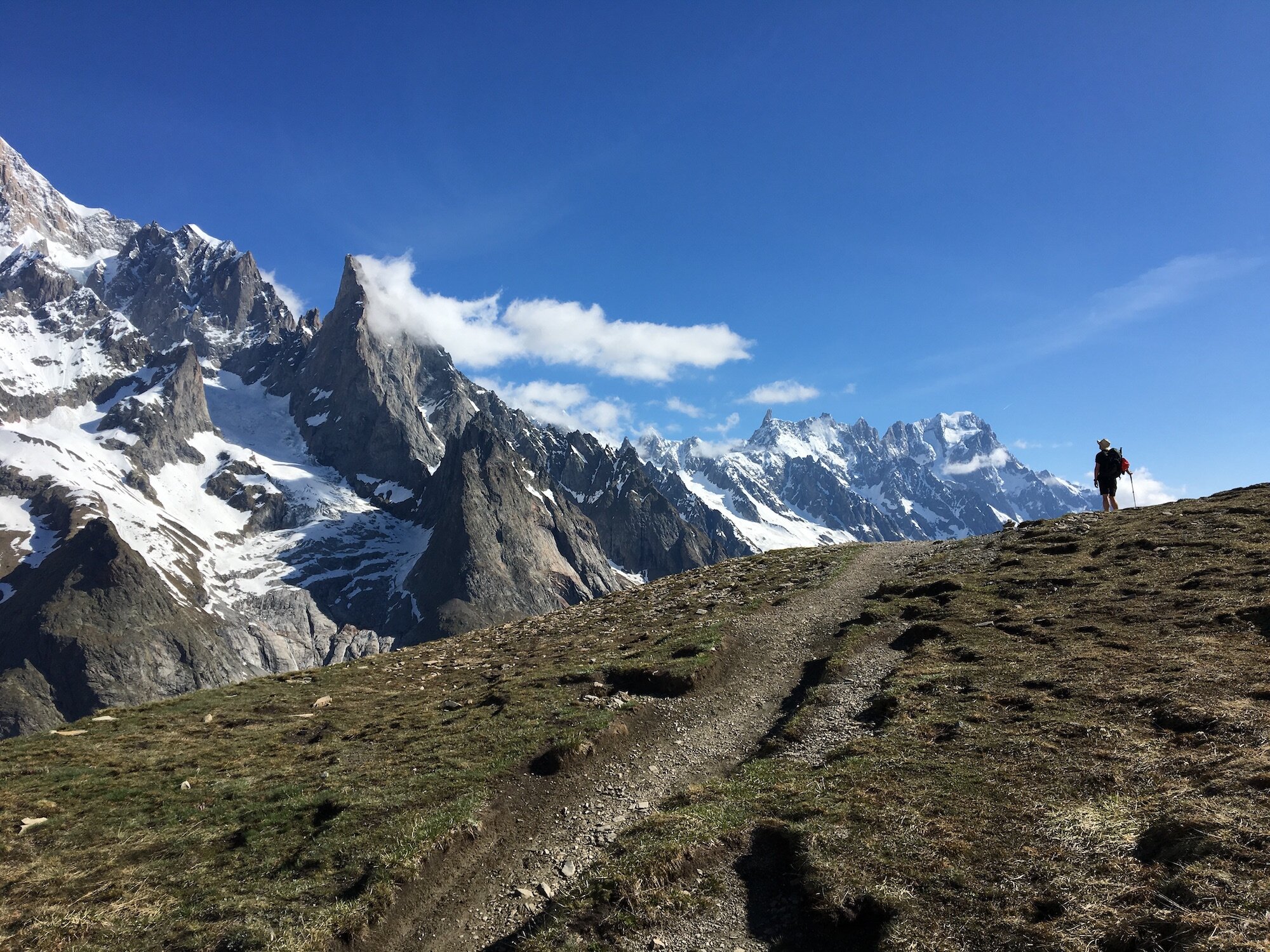
MAY 31ST 2022: COURMAYEUR TO CHALET VAL FERRET

Start location: Courmayeur, Italy
Finish location: Chalet Val Ferret, Italy
Hikes following this trail: Tour du Mont Blanc
Distance: 25km / 16mi
Elevation gain: 1,201m / 3,940ft
Elevation loss: 940m / 3,084ft
Time: 4.5 hours
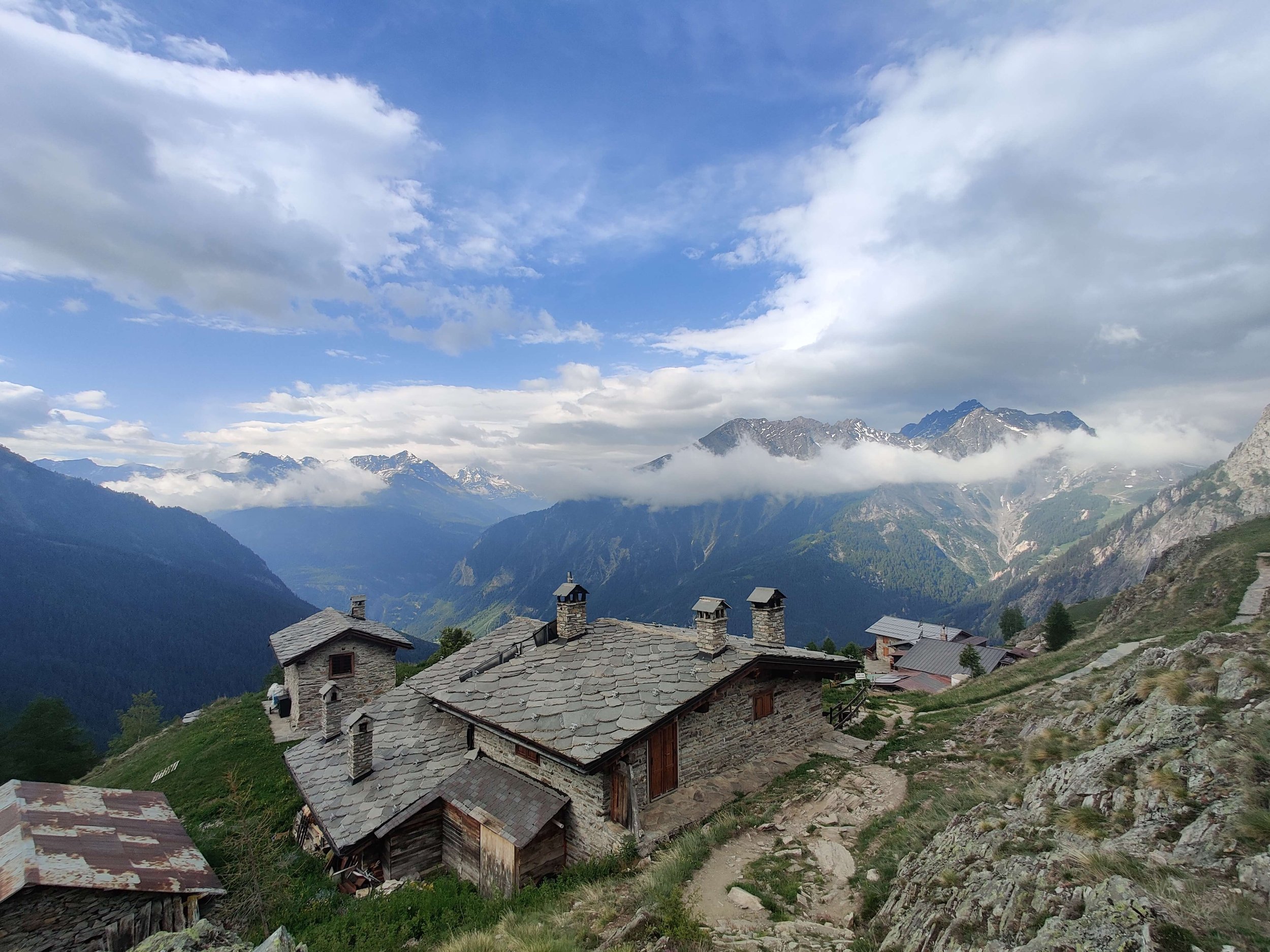
I changed my plan today to go from Courmayeur to Chalet Val Ferret instead of continuing into La Fouly in Switzerland. My current hiking buddy (my brother) needed a rest day in Courmayeur :P I also welcomed a shorter day to rest up and recover before continuing tomorrow.
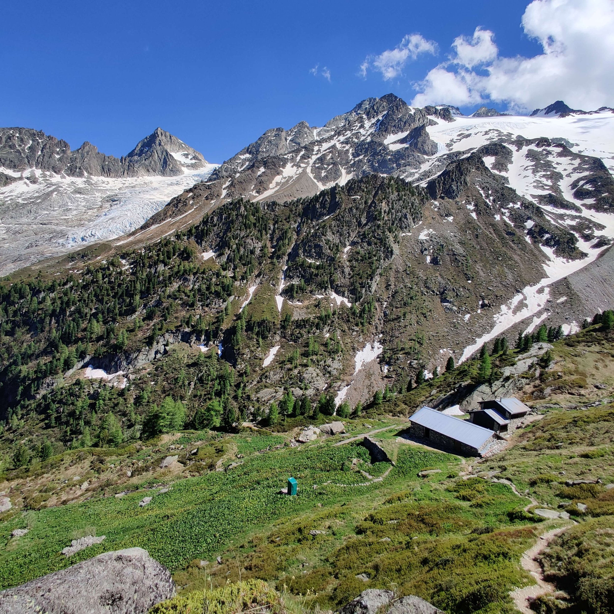
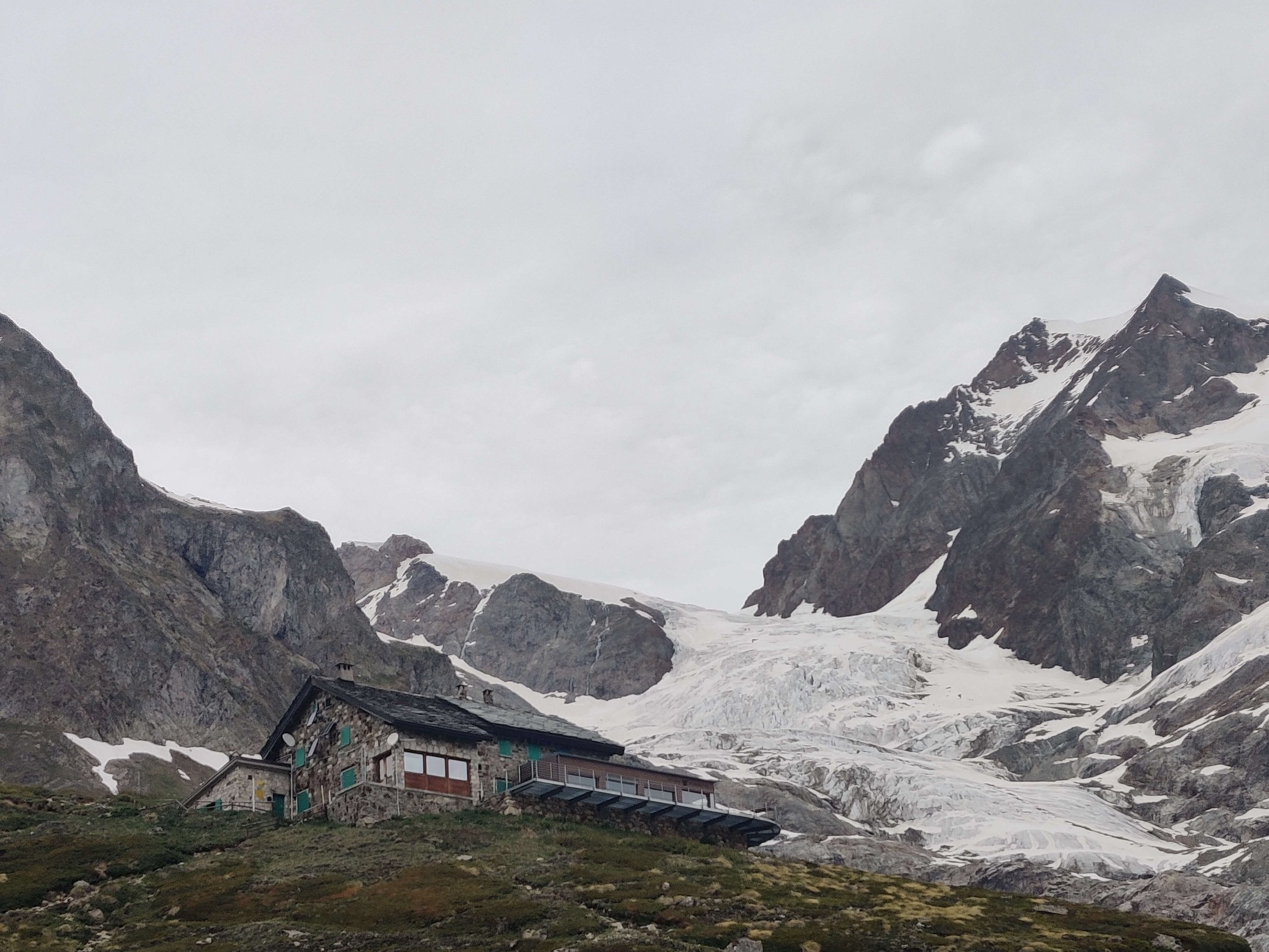
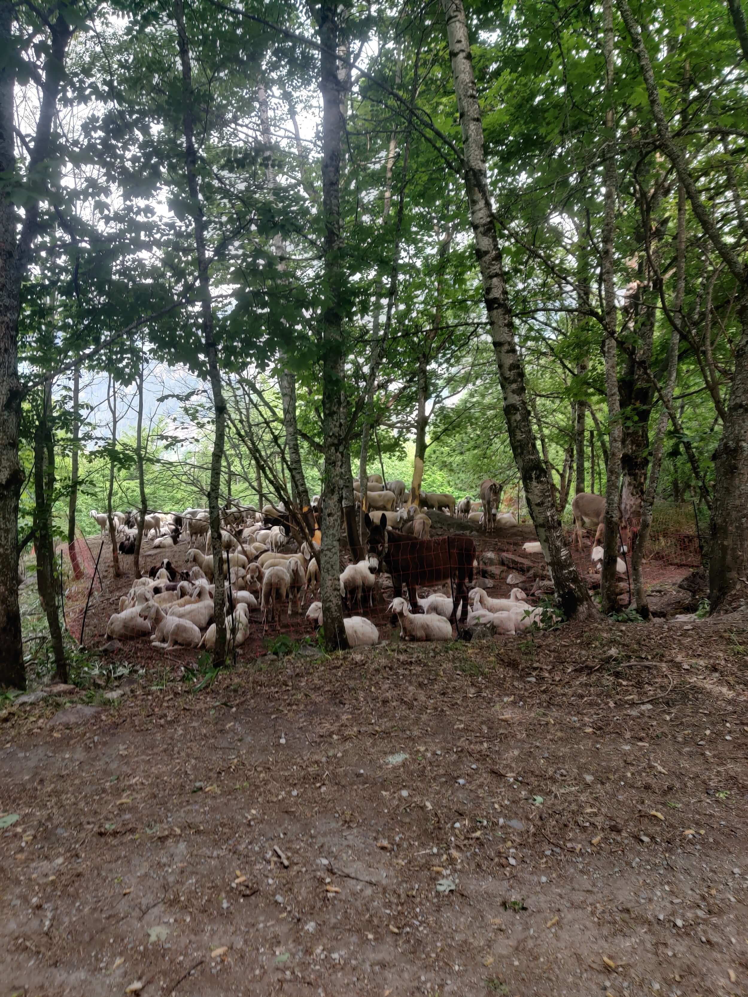
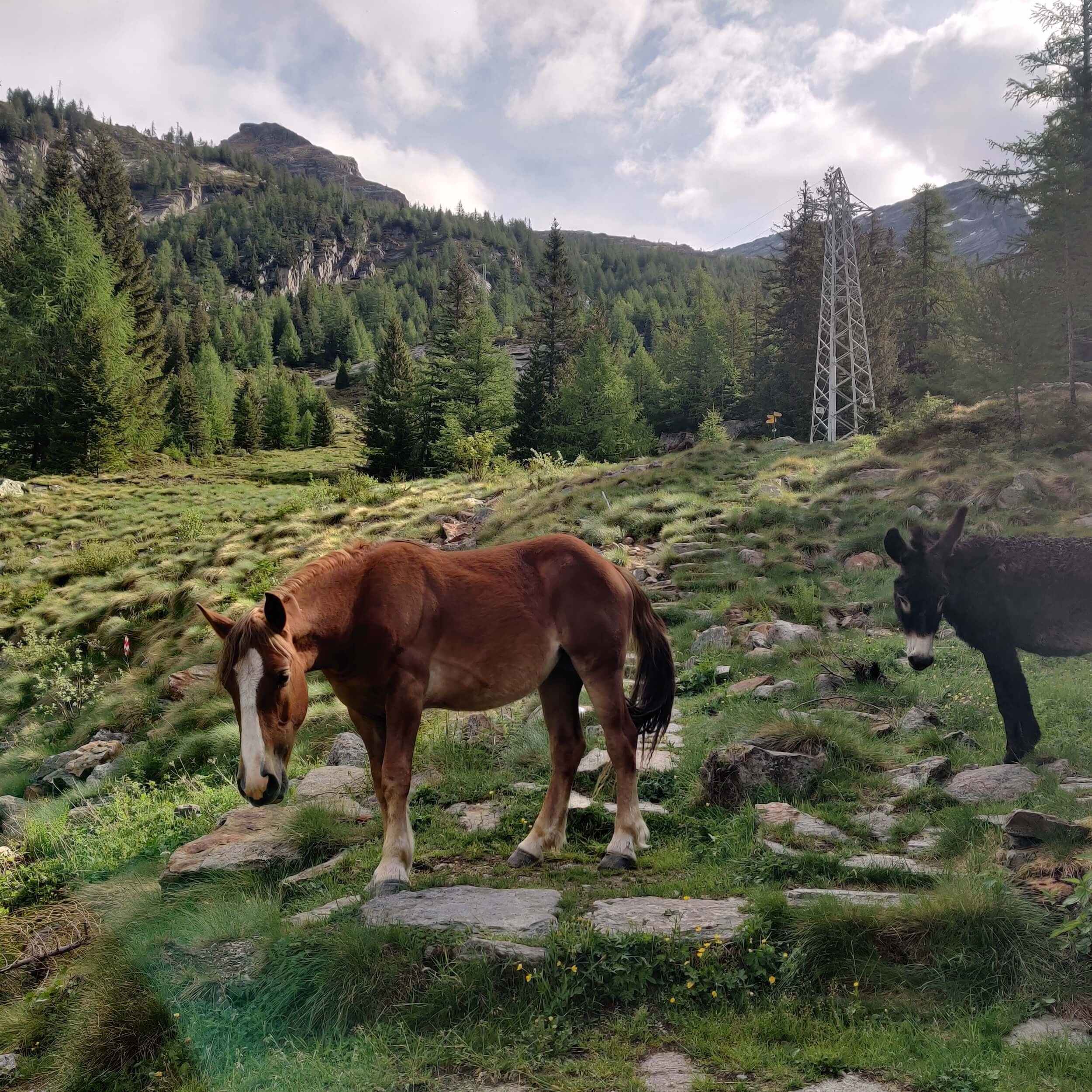
I didn’t see anyone else on the trail today. Just me, the donkeys, sheep and the chefs cooking up a storm in Refugio Bonatti! All 3 refugios (mountain huts) on this section of trail are still closed but will be opening soon for hikers.
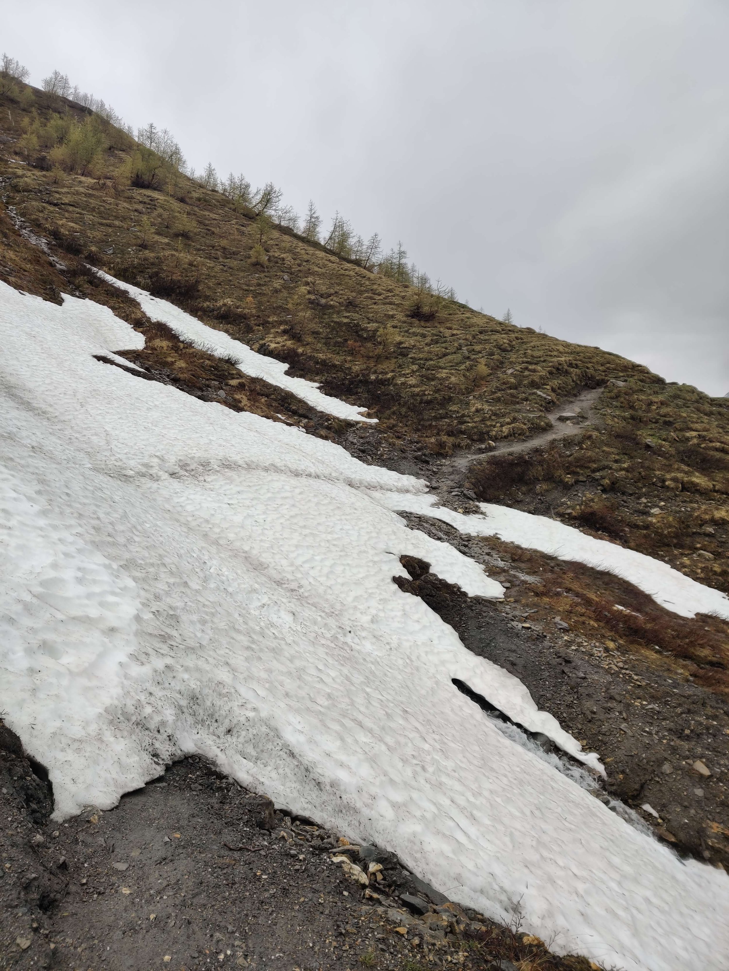
⛰️ Trail conditions: Nothing too exciting to share today. There is only one snow patch on this section of trail so I was able to move quickly.
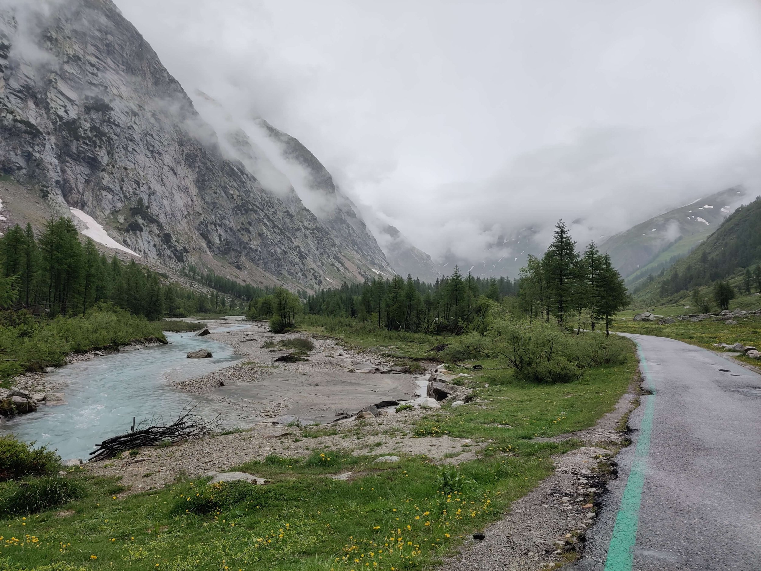
🚌 Transport update: I caught the bus back to Courmayeur for the night. However, they are still on their spring timetable until June 9th so the closest bus stop to Chalet Val Ferret is 8km along the road (at Planpincieux). Luckily the hike along the valley beside the river was beautiful.
JUNE 1ST 2022: CHALET VAL FERRET TO LA FOULY

Start location: Chalet Val Ferret, Italy
Finish location: La Fouly, Switzerland
Hikes following this trail: Tour du Mont Blanc
Distance: 25km / 16mi
Elevation gain: 1,154m / 3,786ft
Elevation loss: 934m / 3,064ft
Time: 5.5 hours
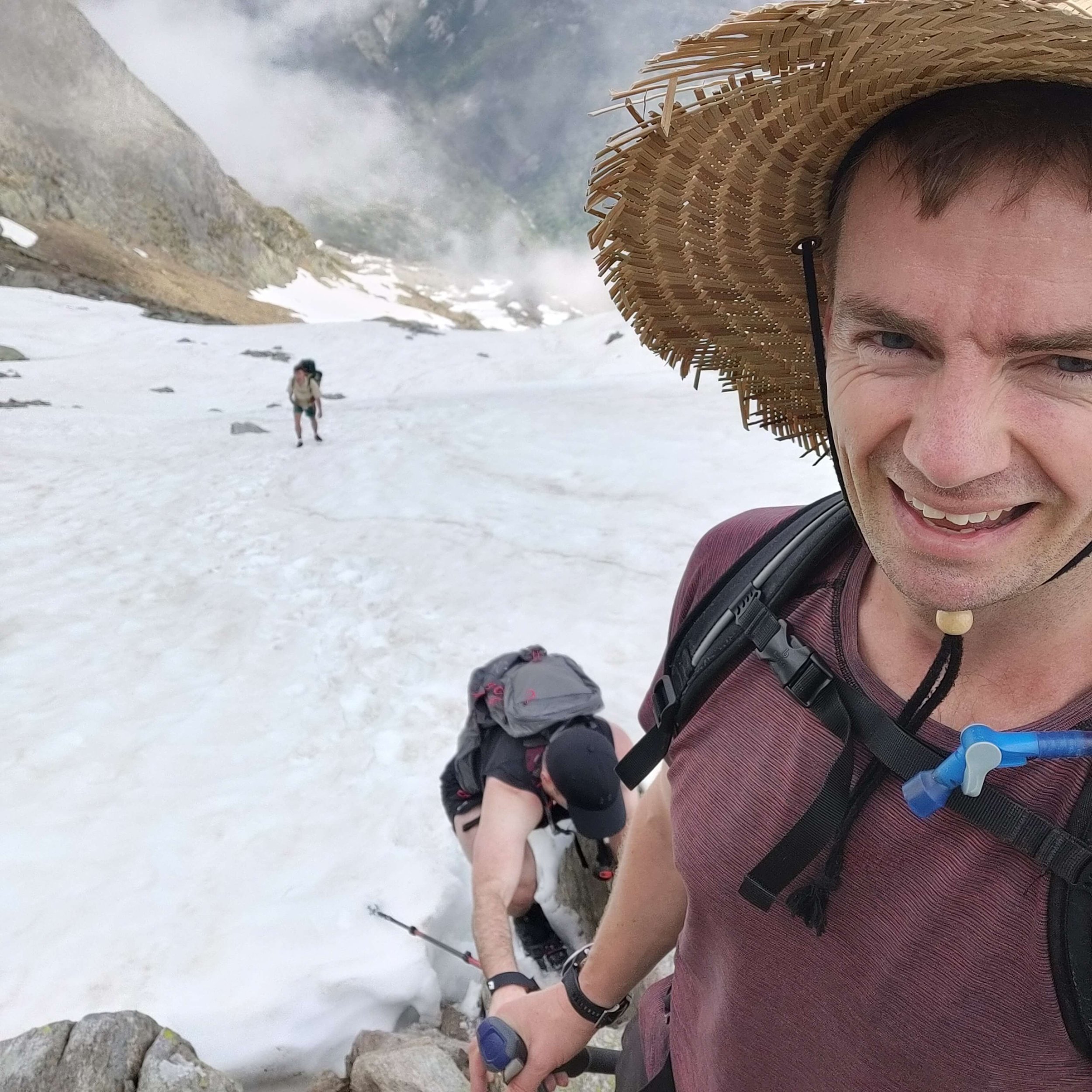
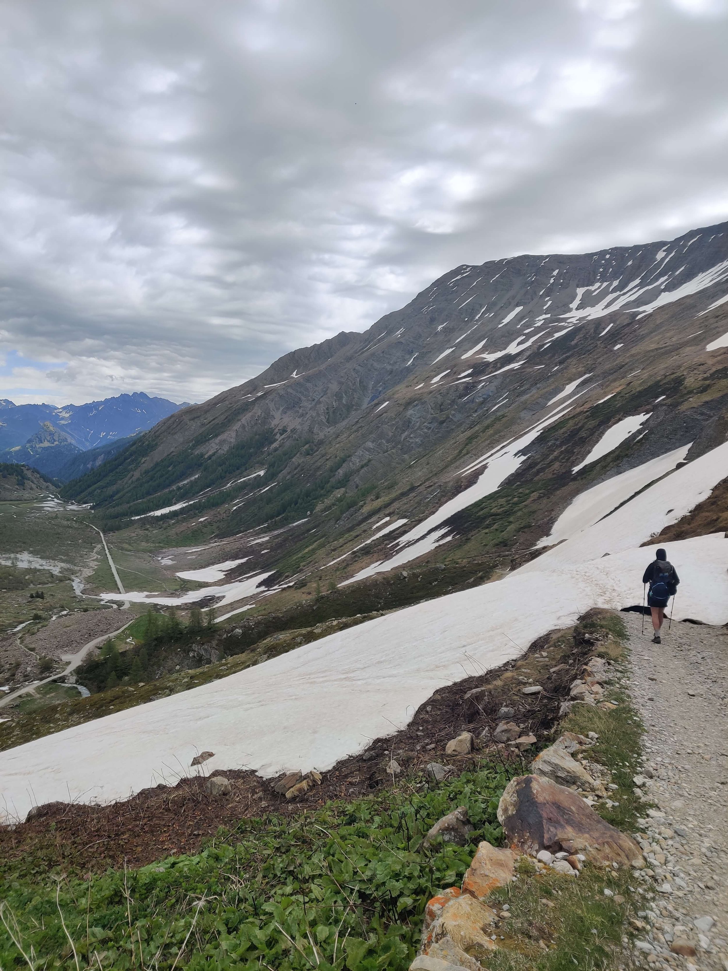
Day 8 on the trail and although we had to hike 10km / 6mi up the valley floor from the bus stop to connect to the TMB trail at Chalet Val Ferret, it was still one of the easier days on the trail. We nearly made it up to Grand Col Ferret before the rain started and then it was on and off for the rest of the day. We took the route from La Peule via Ferret to La Fouly to make it a bit easier on our feet which are feeling the +200km / +120mi we’ve covered over the last week.
⛰️ Trail conditions: Trail is very good for this time of year - much less snow than expected. Still some challenging crossing that required microspikes and/or poles, but overall very manageable.
Between Chalet Val Ferret and Rifugio Elena: 3 snow patches. The first was very firm and slippery so we used microspikes. The other two had good foot holes making it easier to cross with just poles.
No snow between Rifugio Elena and Grand Col Ferret
Lots of snow patches on the Swiss side of Grand Col Ferret. The last was at 2,340m / 7,700ft. But they were easy to cross with just poles.
COMPARING CONDITIONS TO PREVIOUS YEARS
1) Grand Col Ferret (Italian side)

1 June 2022

9 June 2019
2) Grand Col Ferret (Swiss side)
1 June 2022
9 June 2019

1 June 2022

9 June 2019
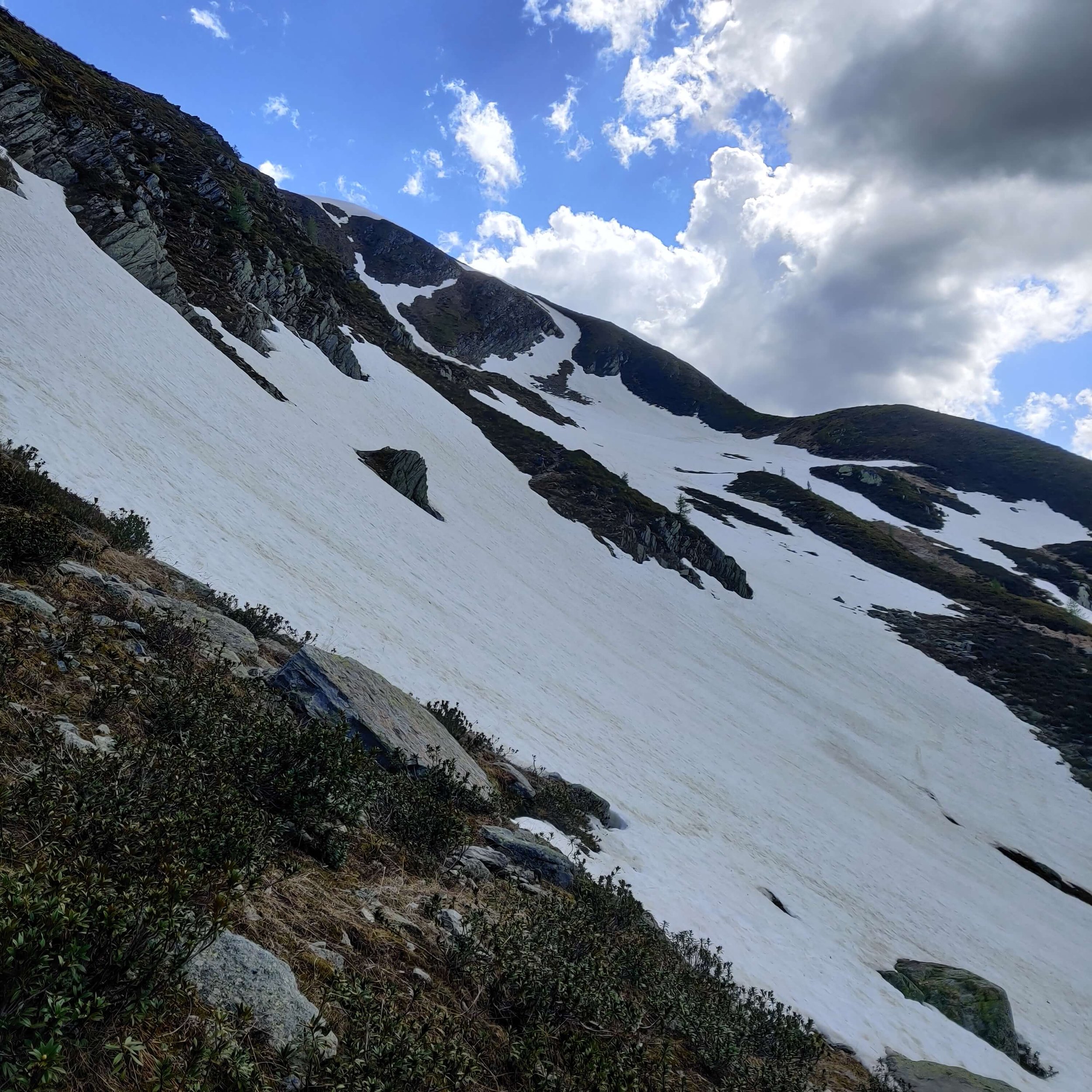
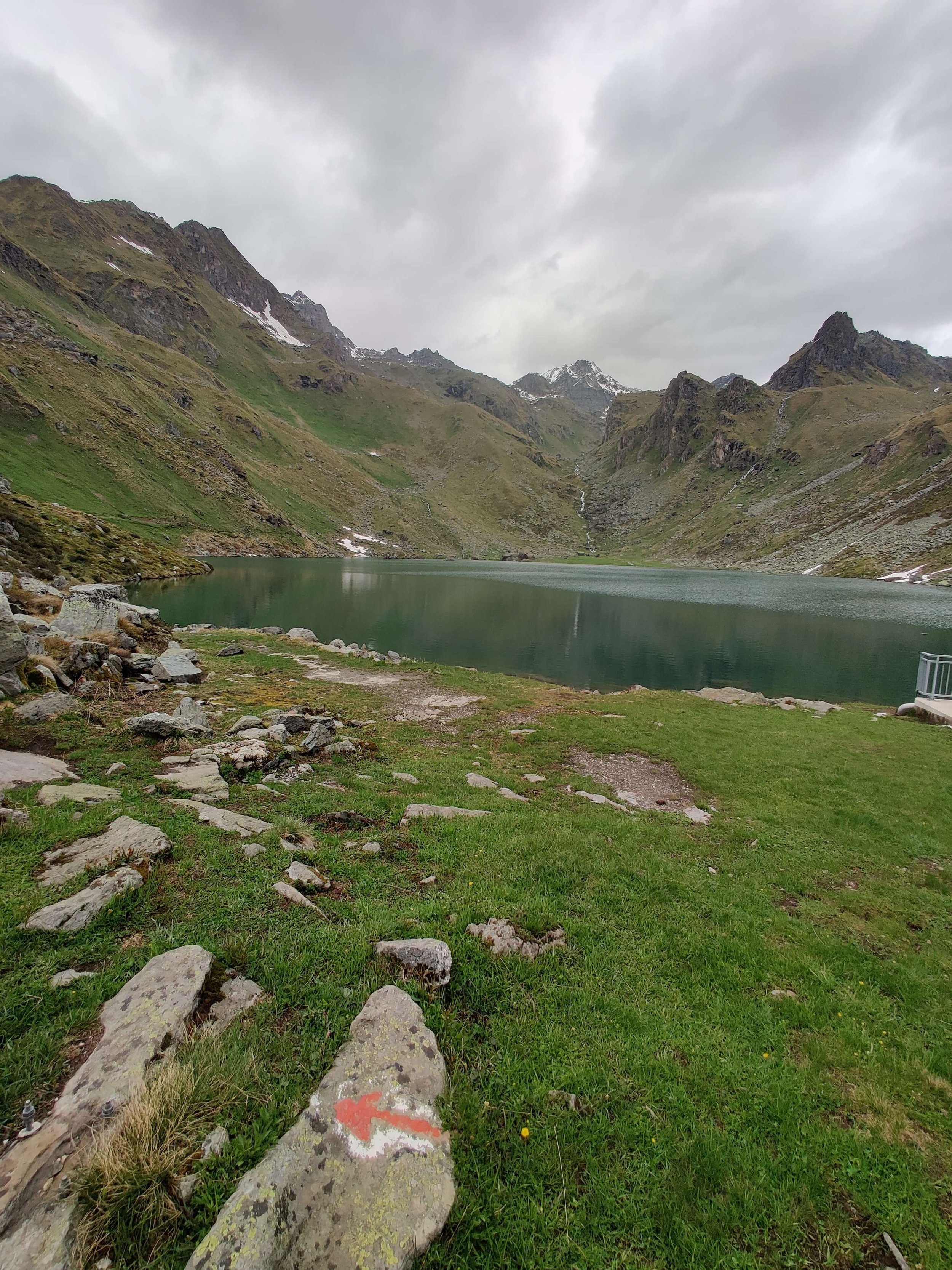
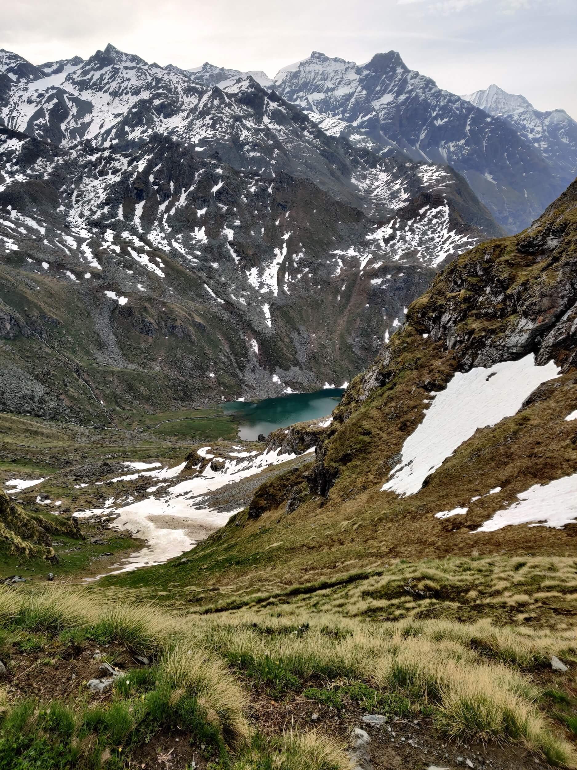
june 22nd 2022: grand desert
📹 WHR TRAIL UPDATES

MAY 26TH 2022: EUROPAWEG - RANDA TO ZERMATT

Start location: Randa, Switzerland
Finish location: Zermatt, Switzerland
Hikes following this trail:
Distance: 27km / 17mi
Elevation gain: 1,712m / 5,646ft
Time: 8 hours
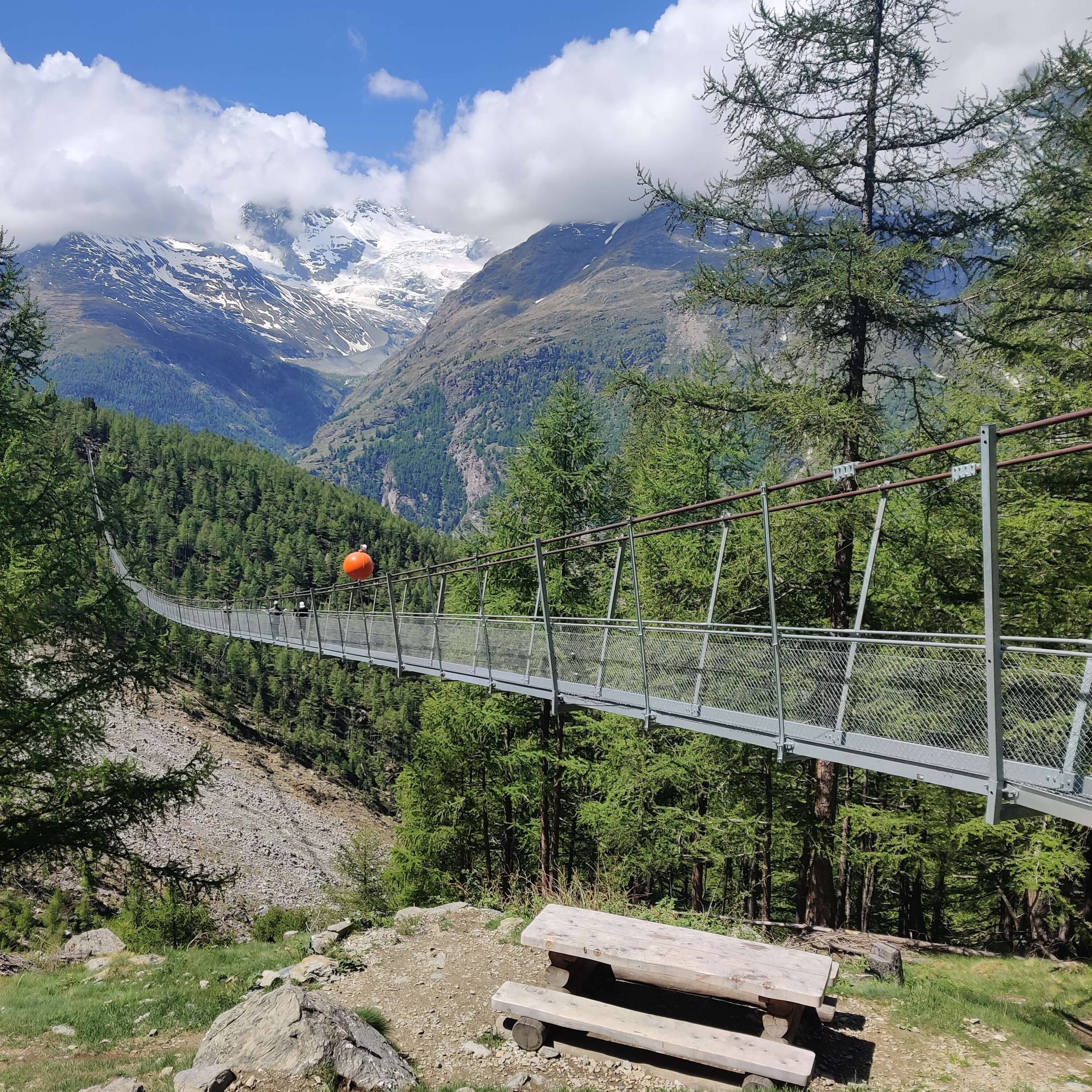

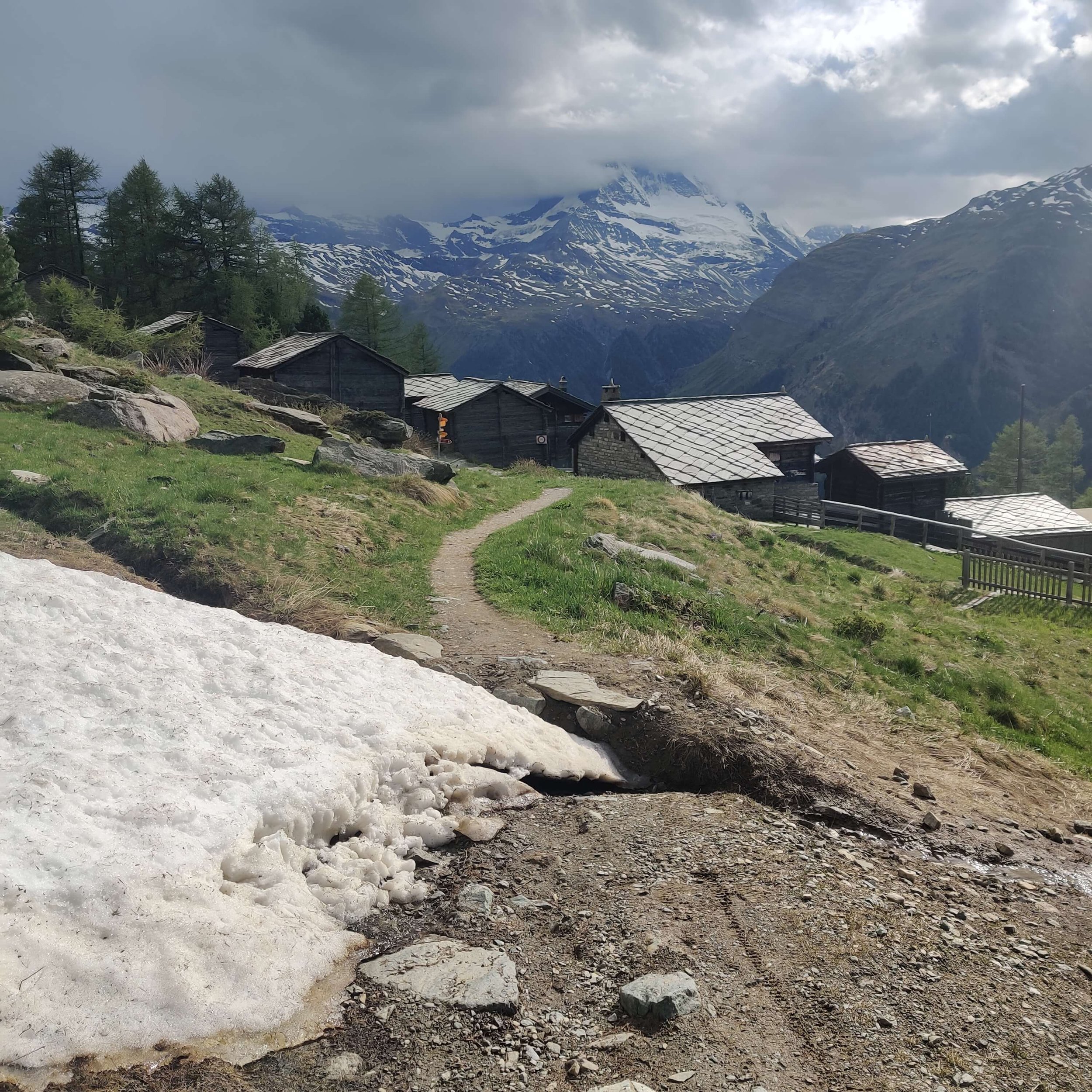

What started as a cool and cloudy day quickly turned into a beautiful day providing stunning views across the valet to the Weisshorn. There was already a surprising number of people (~40) crossing the Charles Kuonen suspension bridge on a Thursday in May! As we got closer to Taschalp, we could see the Matterhorn but the peak remained covered in clouds. The only patch of snow we crossed was in the ski area near Tufteren - it was small and no problem to walk around!
⛰️ Trail update: The Europaweg trail is still officially closed and will open at the end of June - check here for status. We hiked up from Randa to join the Europaweg balcony trail at the same point you would from Herbriggen and continued all the way to Zermatt.
⛺ Wild camping update: There are very strict rules about wild camping in Switzerland. Due to changes in the Europaweg trail, we needed to find new wild camping spots. Luckily, we were able to spot 2 great spots for wild camping along the adjusted Europaweg trail. Specific locations will be shared with The Hiking Club customers in planning portal and GPS map.
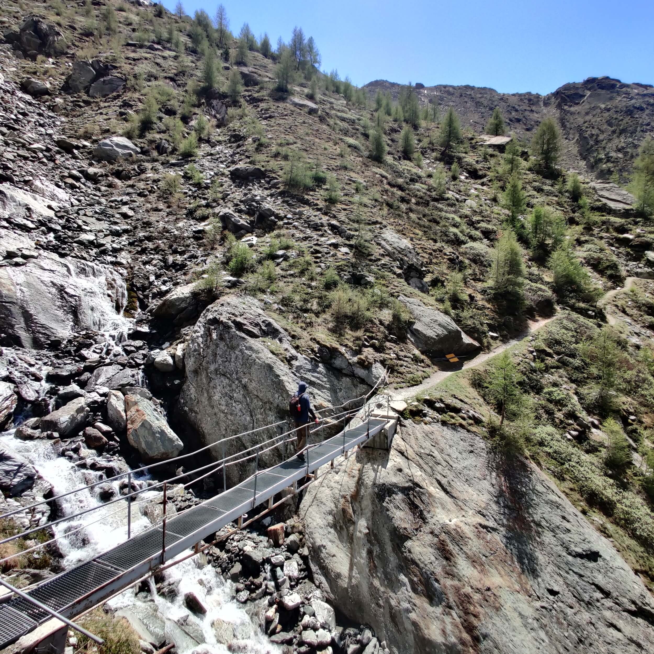
🌉 Bridge update: The bridge connecting the trail with Galenburg has not yet been installed. Therefore, it's not yet possible to hike North from Europahutte to Galenburg. However, all temporary bridges are installed heading south to Zermatt.
JUNE 2ND 2022: ORSIERES TO CABANE DE LOUVIE

Start location: Orsieres, Switzerland
Finish location: Cabane de Louvie, Switzerland
Hikes following this trail: Walker’s Haute Route (Alternate route)
Distance: 25km / 16mi
Elevation gain: 2,289m / 7,510ft
Elevation loss: 1,524m / 5,000ft
Time: 6.75 hours
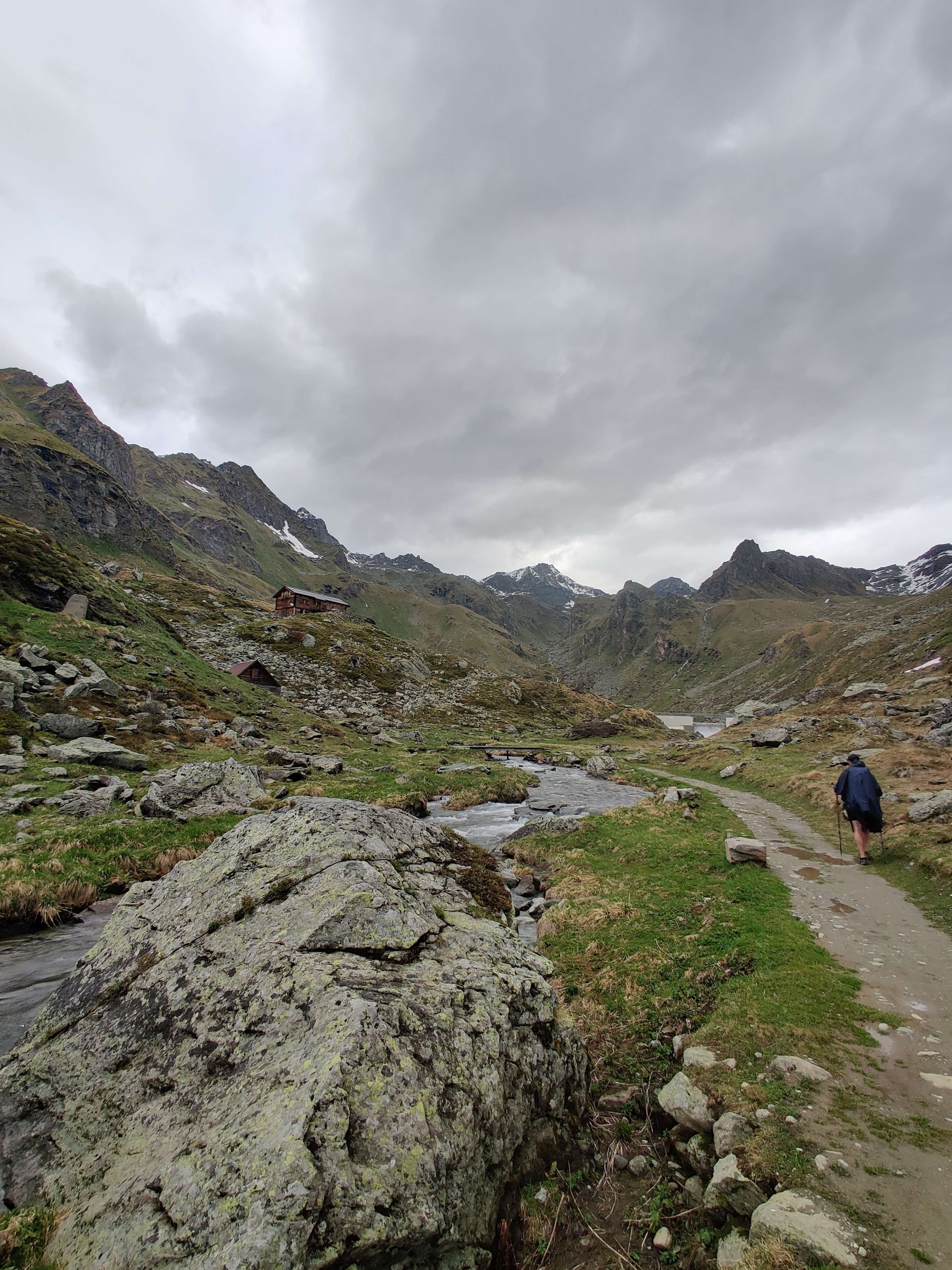
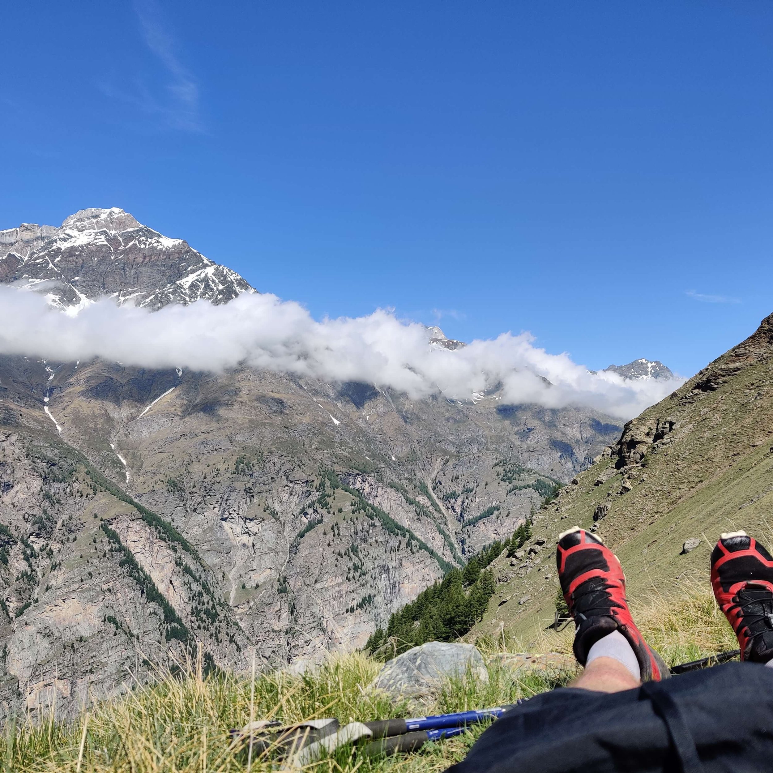
Day 9 on the trail today and the weather was very typical for the Alps. It was a mix of rain, fog, wind and spectacular clear blue skies. As you will see in the pictures, it almost looks like 2 different days!
Today I hiked an alternate route for the Walker’s Haute Route via the Combins massif. The “classic” walker’s haute route leaves Champex-Lac and heads via Sembrancher, Le Chable and Verbier to arrive at the Grand Desert. This alternate route heads via Orsieres and up onto the Tour des Combins trail. It’s a more strenuous route, but you are rewarded with amazing views of Grand Combins and the Bec des Rosses range.
⛰️ Trail conditions: Overall good conditions on this section.
About 6-8 snow patches on the Mont Brule to Fionnay section but all soft and easy to cross. No microspikes needed.
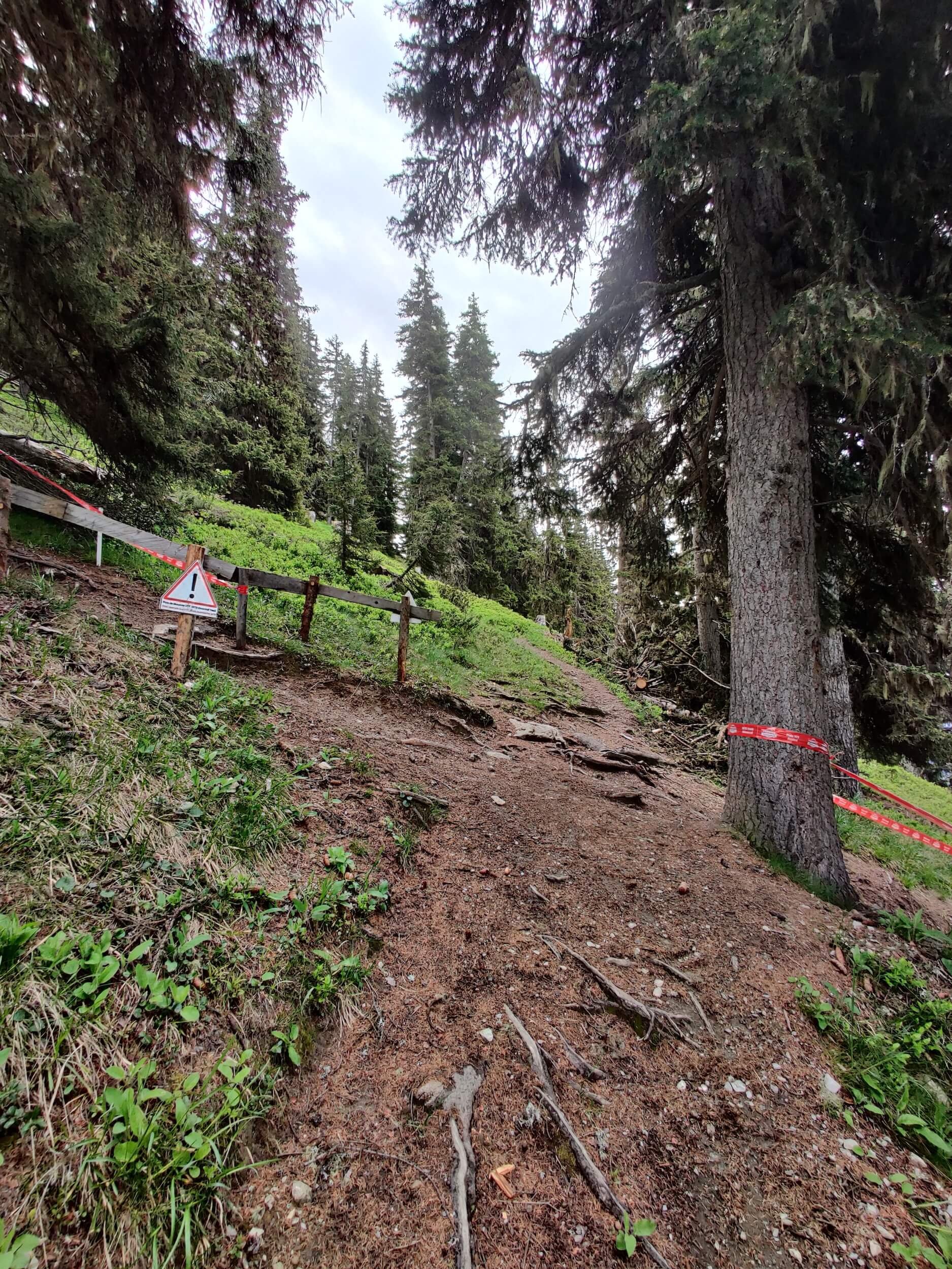
There is a new trail from Cabane Brunet to Plamproz that is very steep in parts. Due to rain, I slipped a few times in the mud but nothing serious.
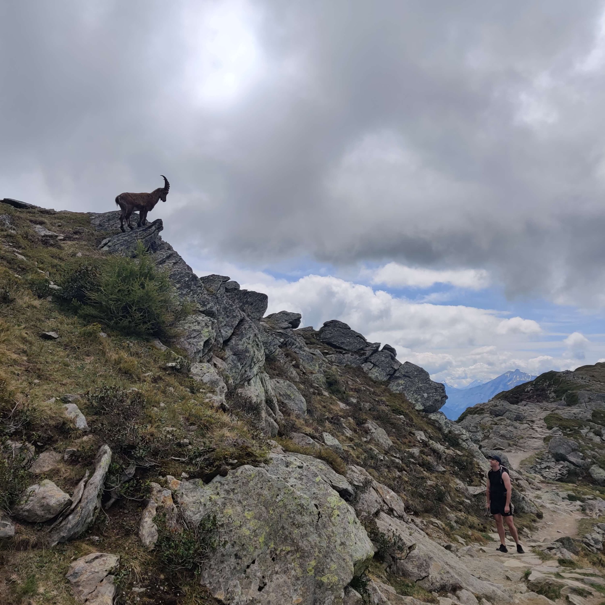
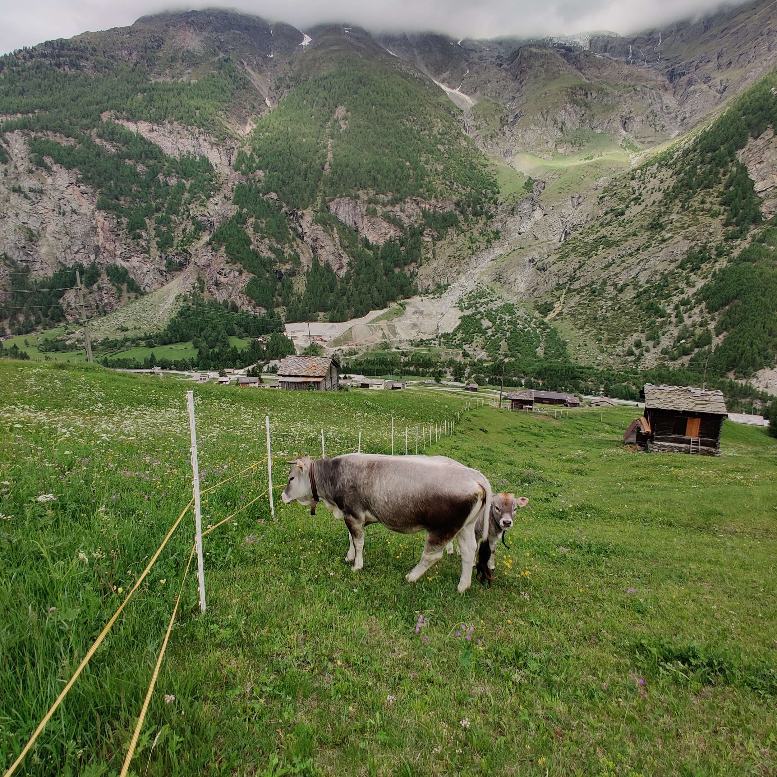
🐏 Animal sighting: The section up from Fionnay to Cabane de Louvie is a protected wildlife reserve and it's very common to see a herd of ibex grazing along the steep trail.
JUNE 3RD 2022: CABANE DE LOUVIE TO VERBIER
Start location: Cabane de Louvie, Switzerland
Finish location: Verbier, Switzerland
Hikes following this trail: Walker’s Haute Route
Distance: 17km / 10mi
Elevation gain: 641m / 2,103ft
Elevation loss: 1,346m / 4,416ft
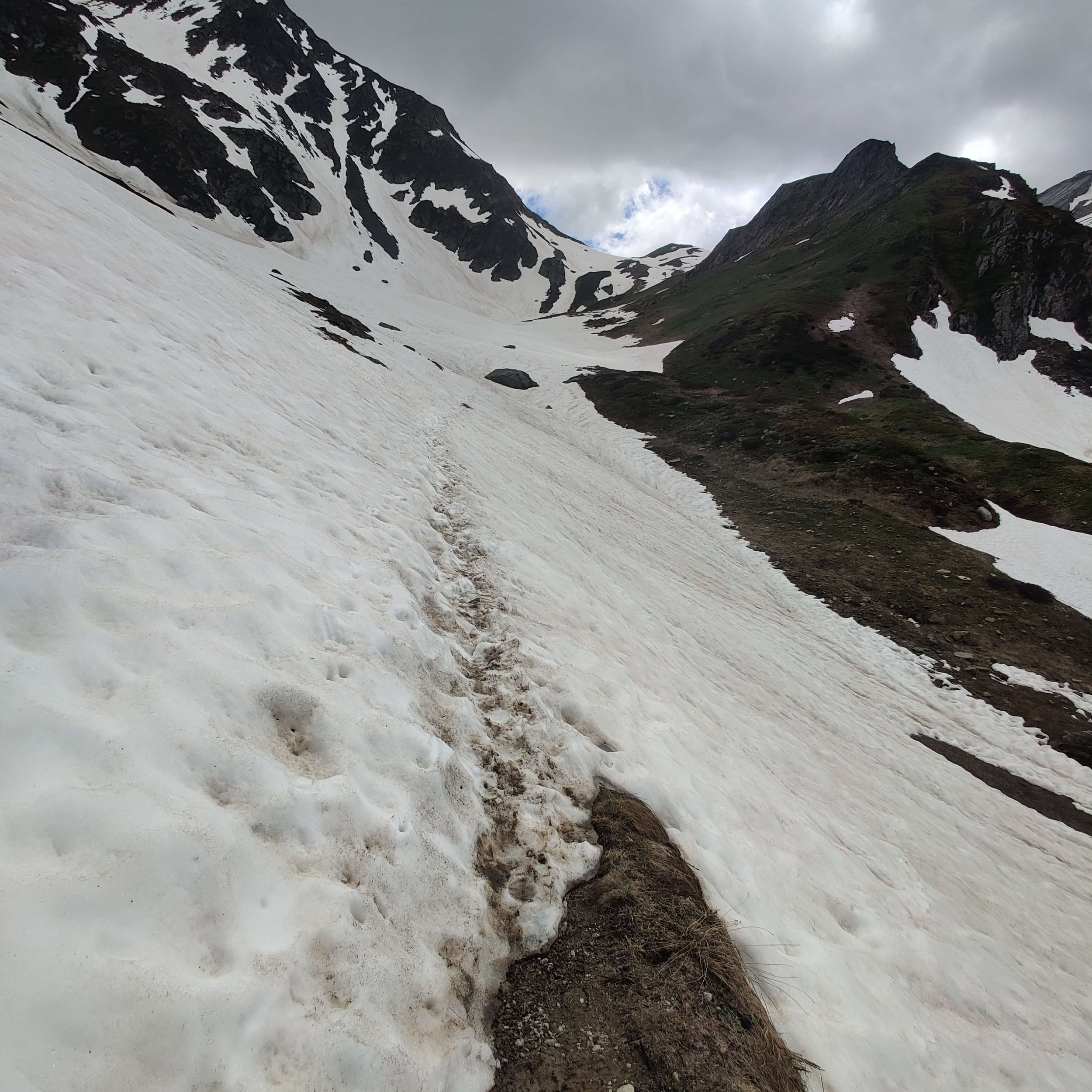
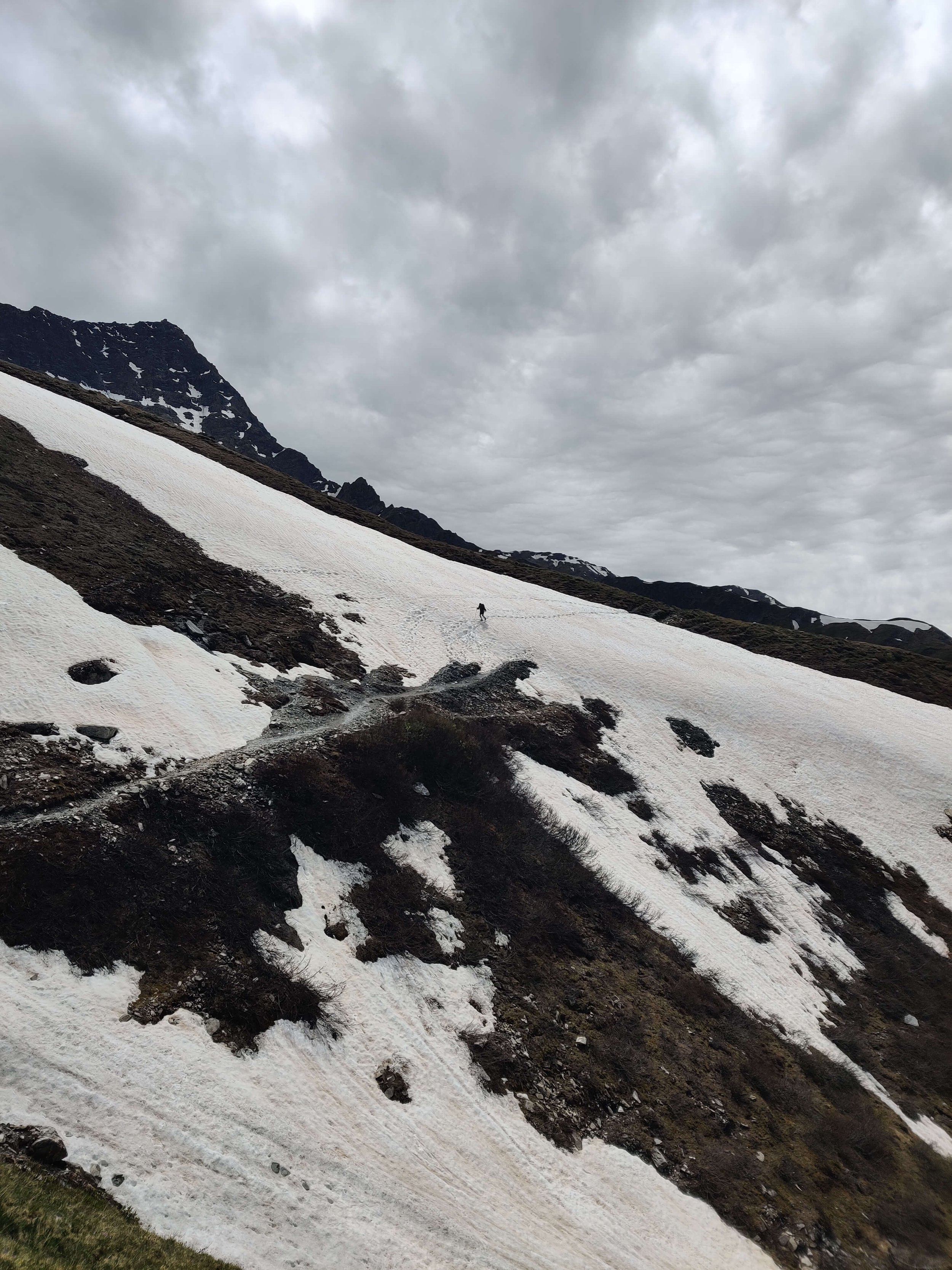
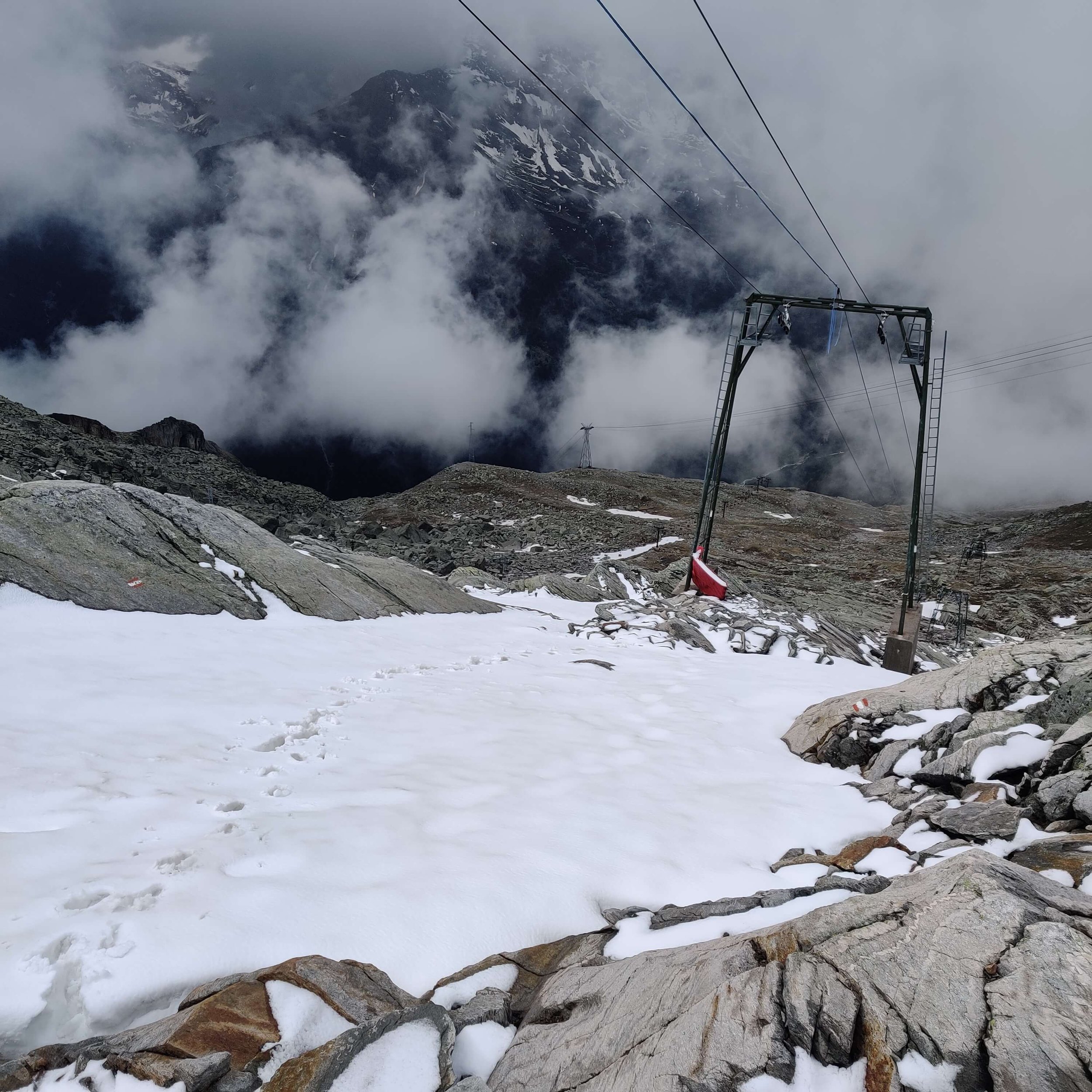
Day 10 (and final!) on the trail for this trip. Today the purpose was to check the condition of the Sentier des Chamois trail between Cabane du Mont Fort and Col Termin/Cabane de Louvie, and to ensure the hiking route between Les Ruinettes and Verbier avoided any downhill mountain bike trails for this summer.
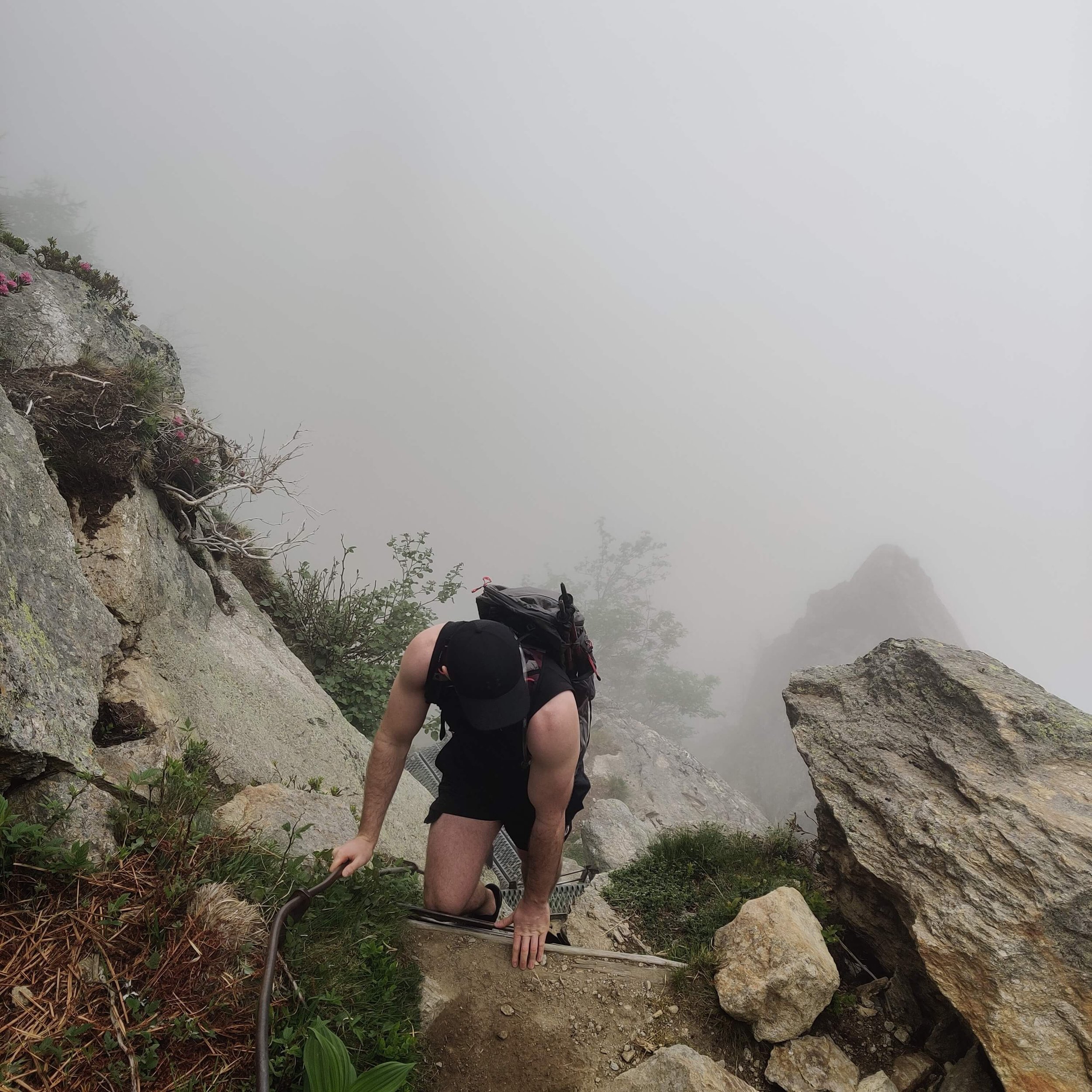
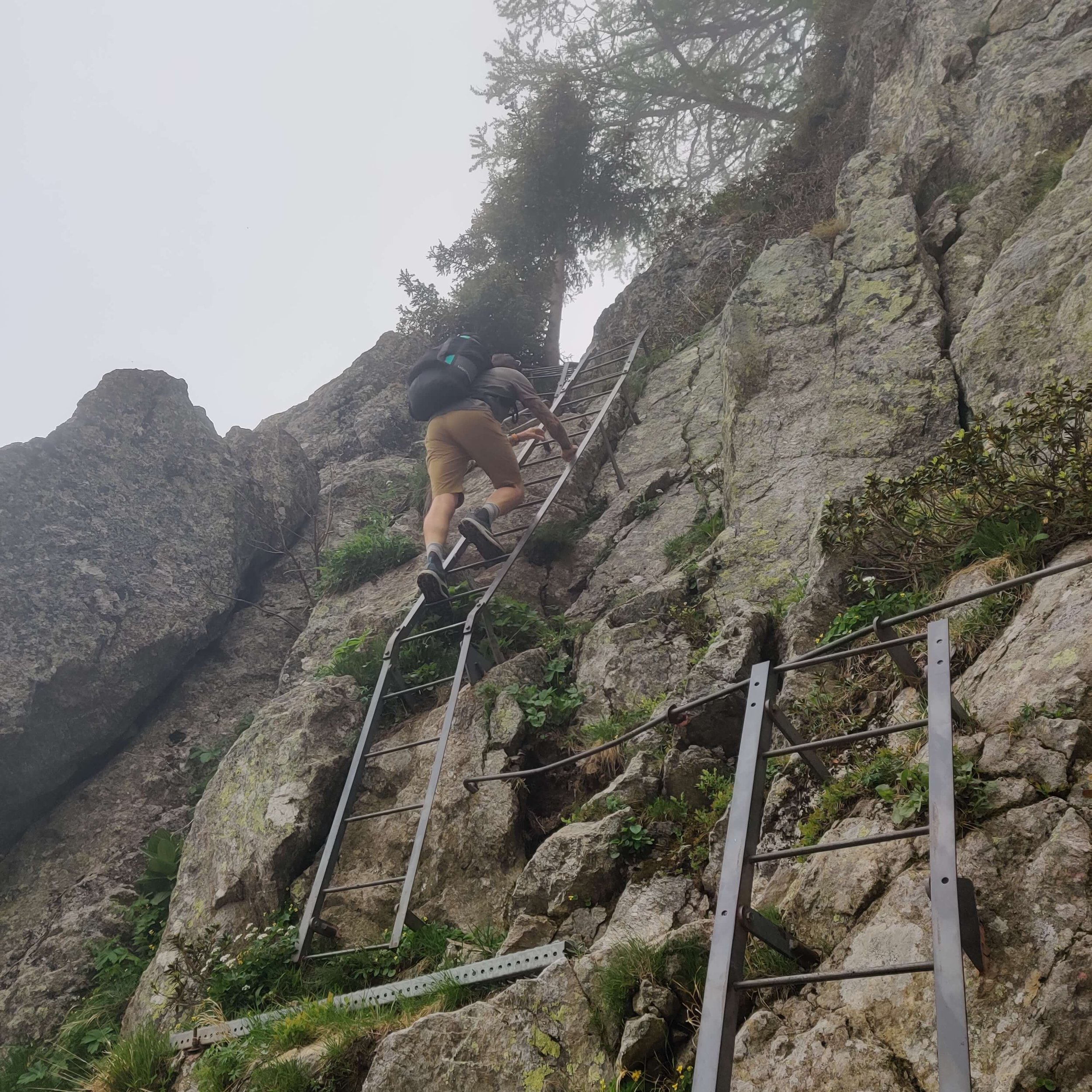
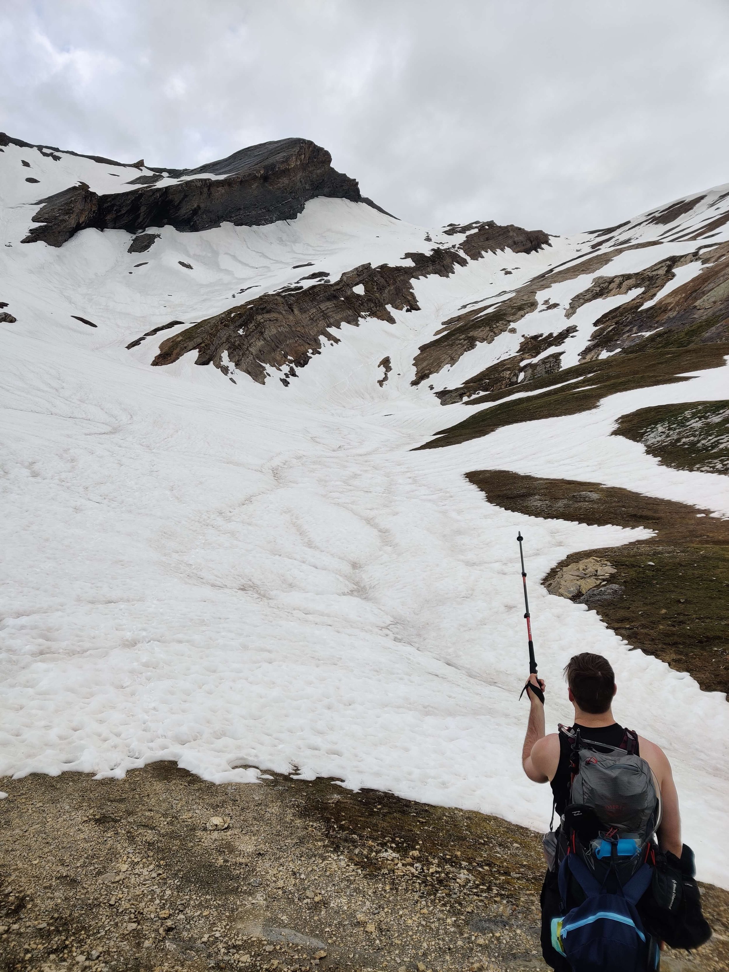
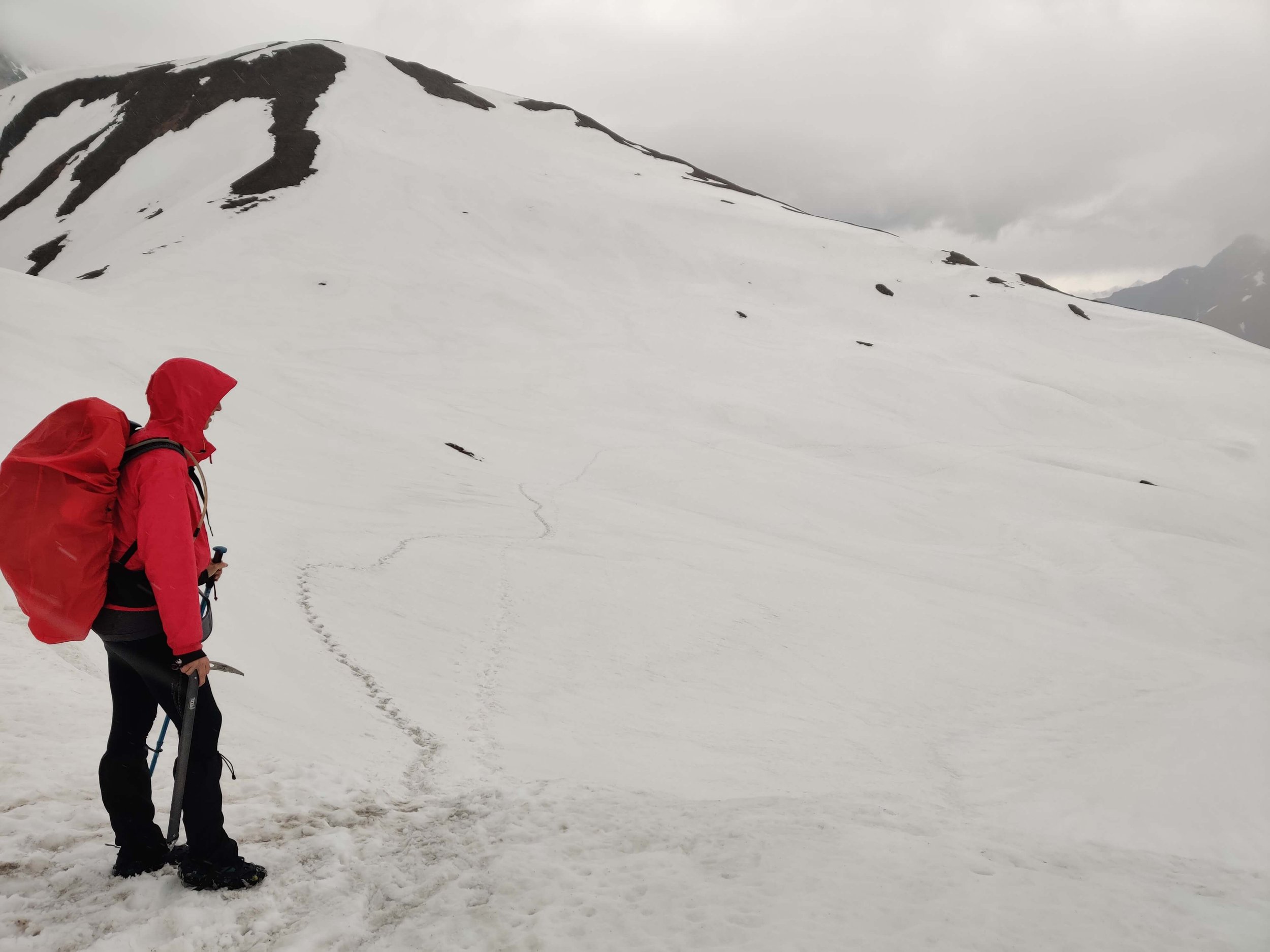
⛰️ Trail conditions: This section of trail was quite tricky and not advised for inexperienced hikers at this time due to snow conditions and erosion. Despite it being a short hiking day compared to prior days, the need to make tracks in some of the steep snow sections took extra time. I recommend watching my story/highlight to see the conditions yourself to make an assessment.
About 10 main snow patches between Cabane de Louvie and Cabane du Mont Fort. Some were quite steep to cross and caution is advised to inexperienced hikers.
There are two areas of bad erosion along the Sentier des Chamois trail.
One section of the previous hiking trail in the Verbier ski area has now been converted to a downhill mountain biking trail.
📍GPS Map updates: Based on these conditions, we will be updating The Hiking Club 2022 GPS map file with the below:
Alternate route to reach the midway point of the Sentier des Chamois trail to avoid the bad sections of erosion, that requires valley transport.
New hiking route within Verbier ski area to avoid the mountain bike trails.
COMPARING CONDITIONS TO PREVIOUS YEARS
1) Lac de Louvie

3 June 2022

13 June 2019
2) Cabane du Mont Fort

3 June 2022

13 June 2019

3 June 2022
13 June 2019
3) Col de la Chaux

3 June 2022

13 June 2019
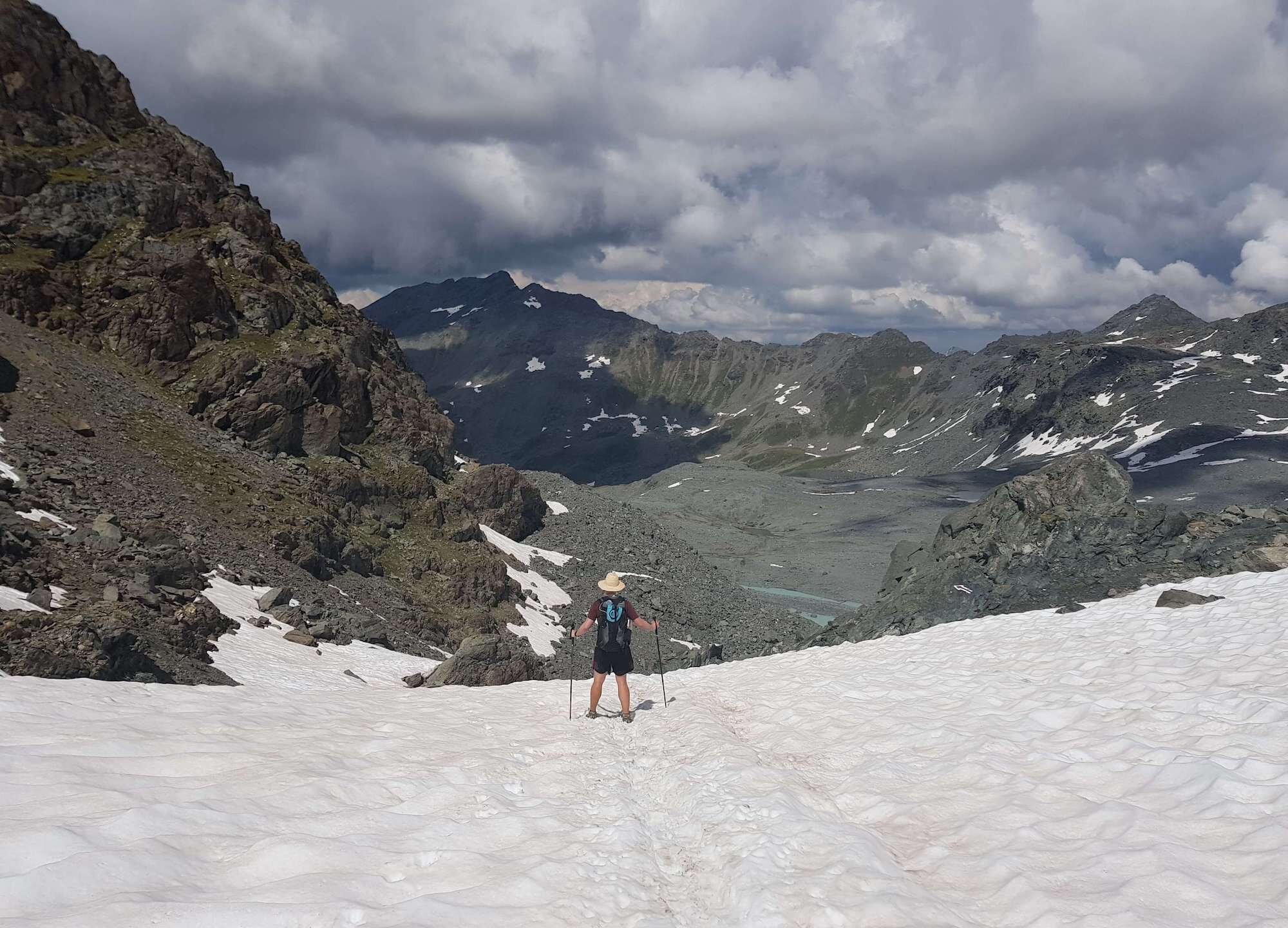
june 22nd 2022: grand desert
⛰️ Trail conditions: This section of trail is typically the last on the route to become passable due to the accumulation of snow at the higher altitude. Thanks to Katherine Fehr for sending through images and trail update. “Most of the snow is gone. We were able to do it without gear.”
📹 TMR TRAIL UPDATES

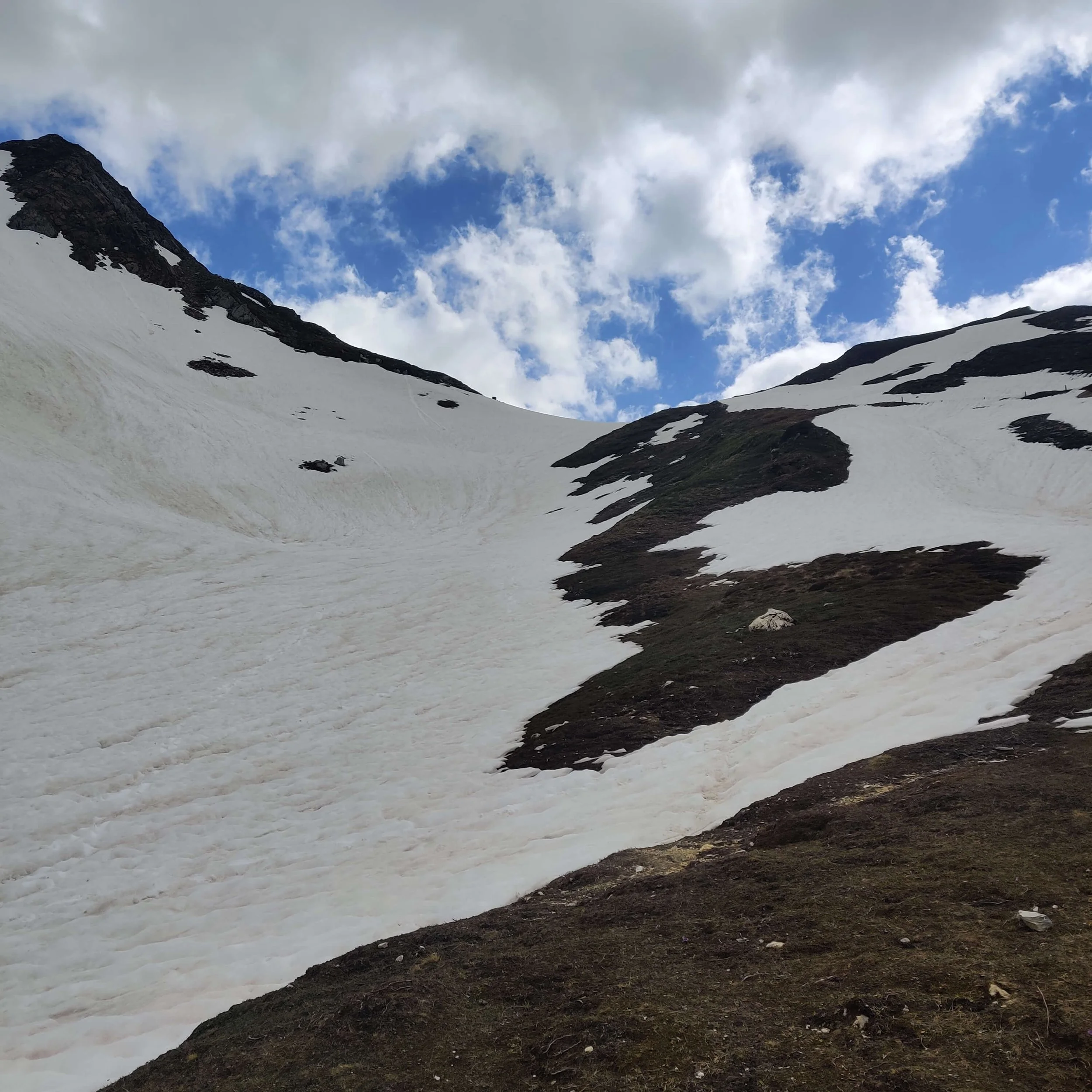
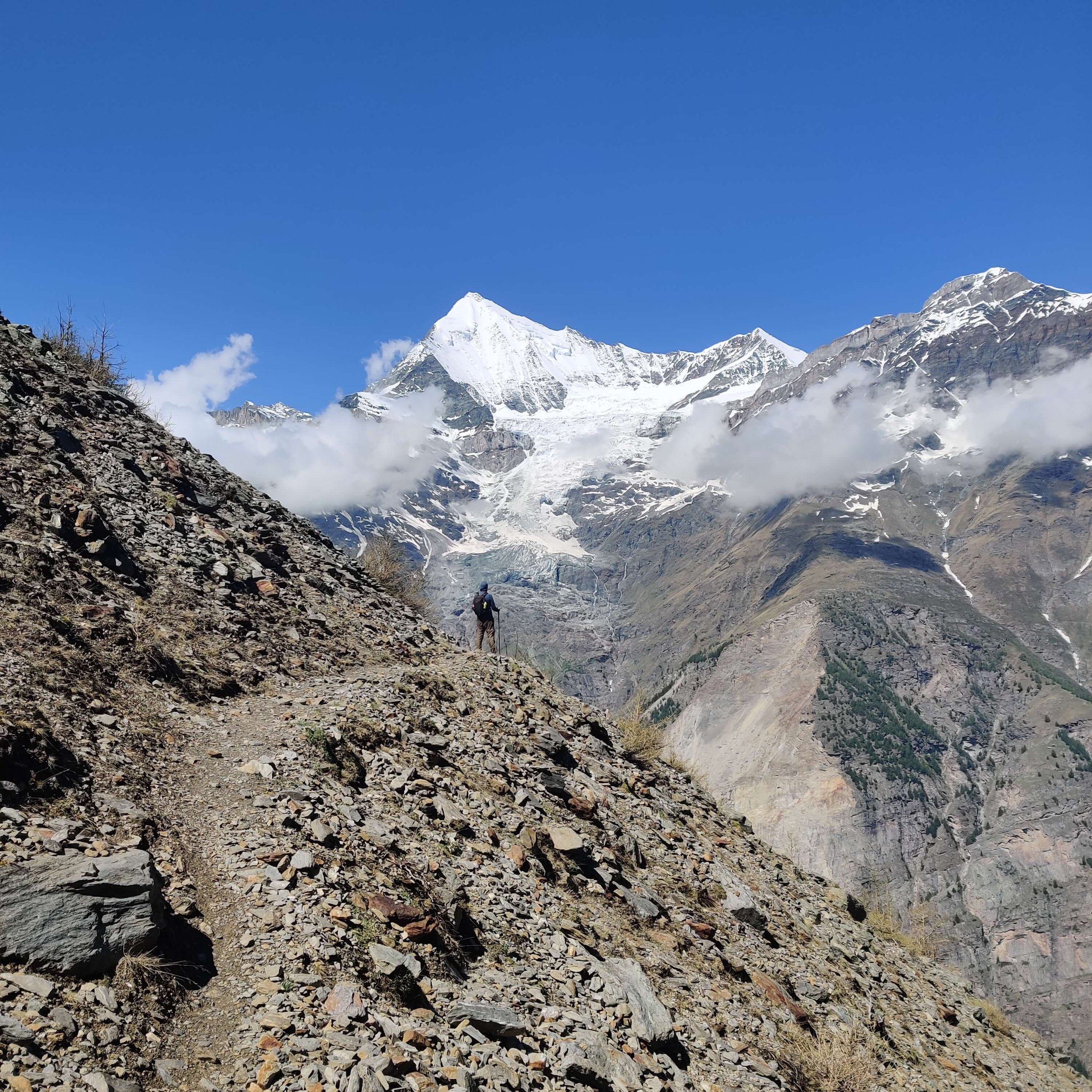
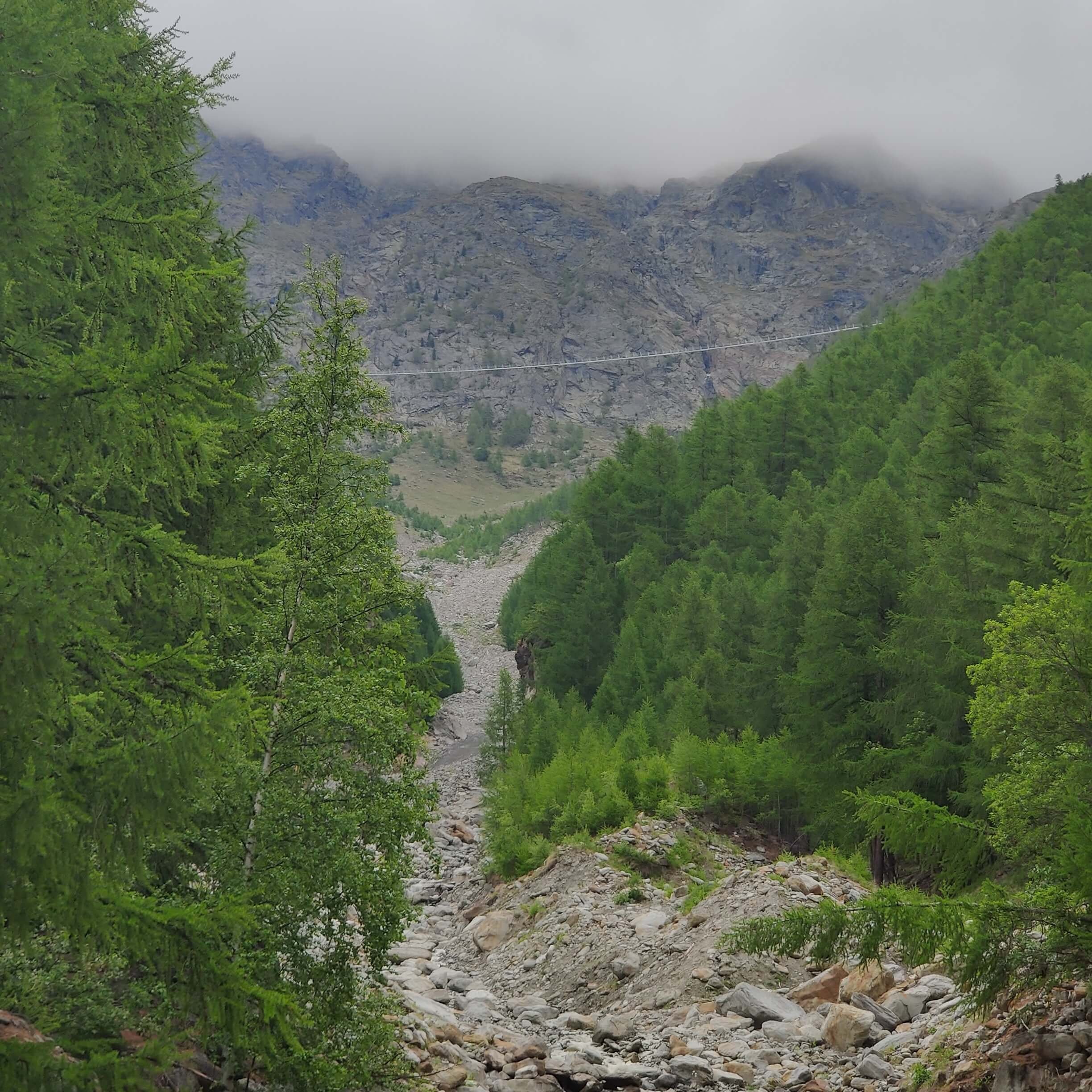
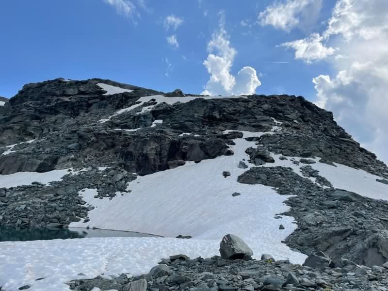
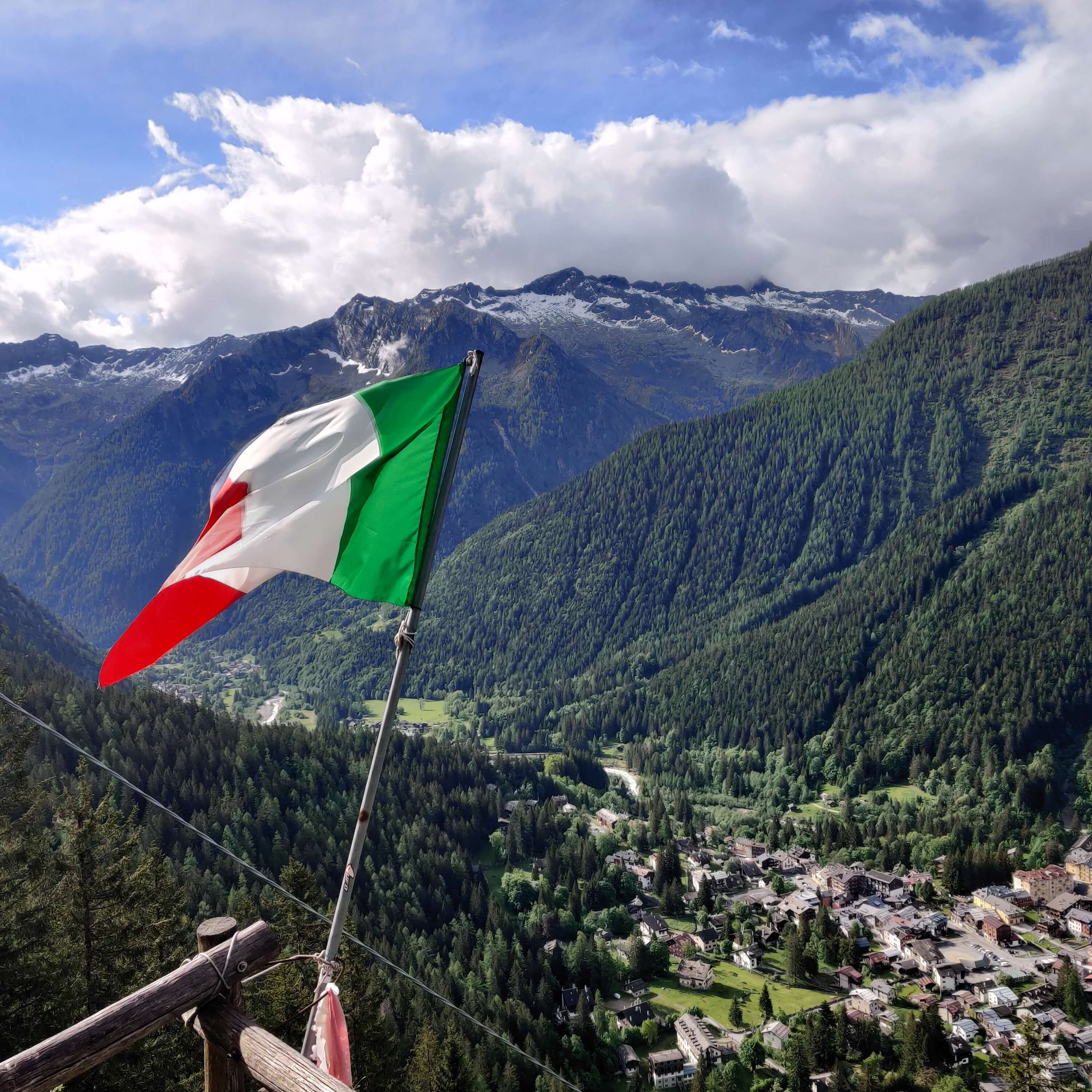
MAY 25TH 2022: Macugnaga to Monte Moro pass (loop)
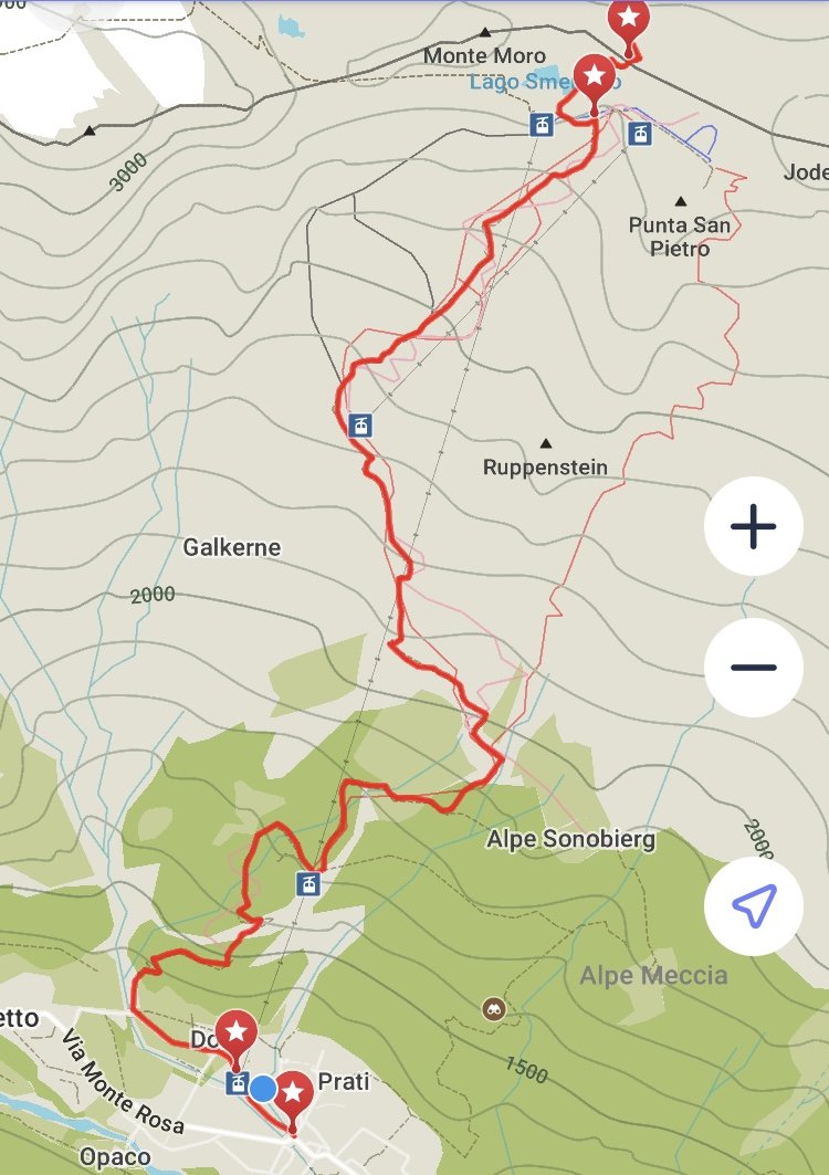
Start Location: Macugnaga, Italy
End Location: Macugnaga, Italy
Highest Point: Monte Moro Pass 2,853m / 9,360ft
Hikes following this trail: Tour of Monte Rosa
Direction: Counter Clockwise
Distance: 16km / 10mi
Elevation Gain: 1,980m / 6,496ft
Elevation Loss: 1,980m / 6,496ft
Time: 5 Hours
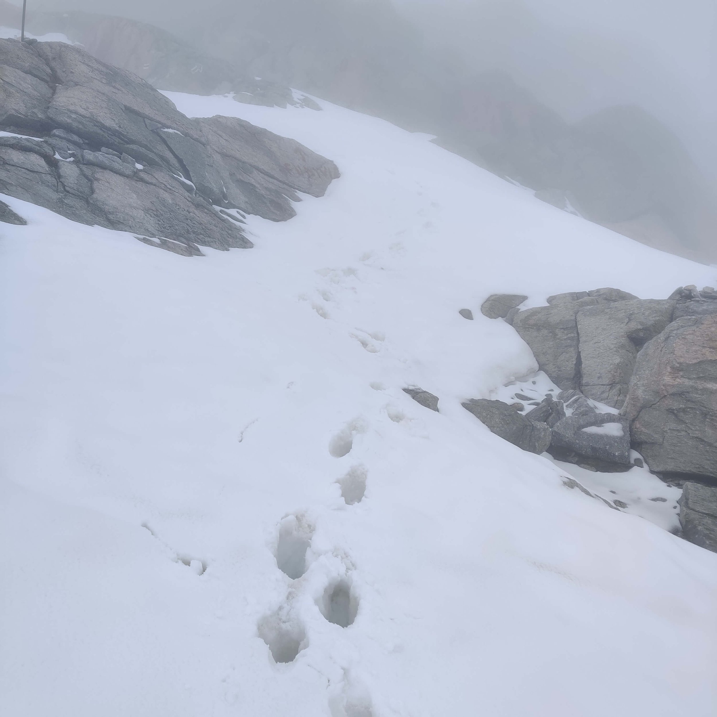
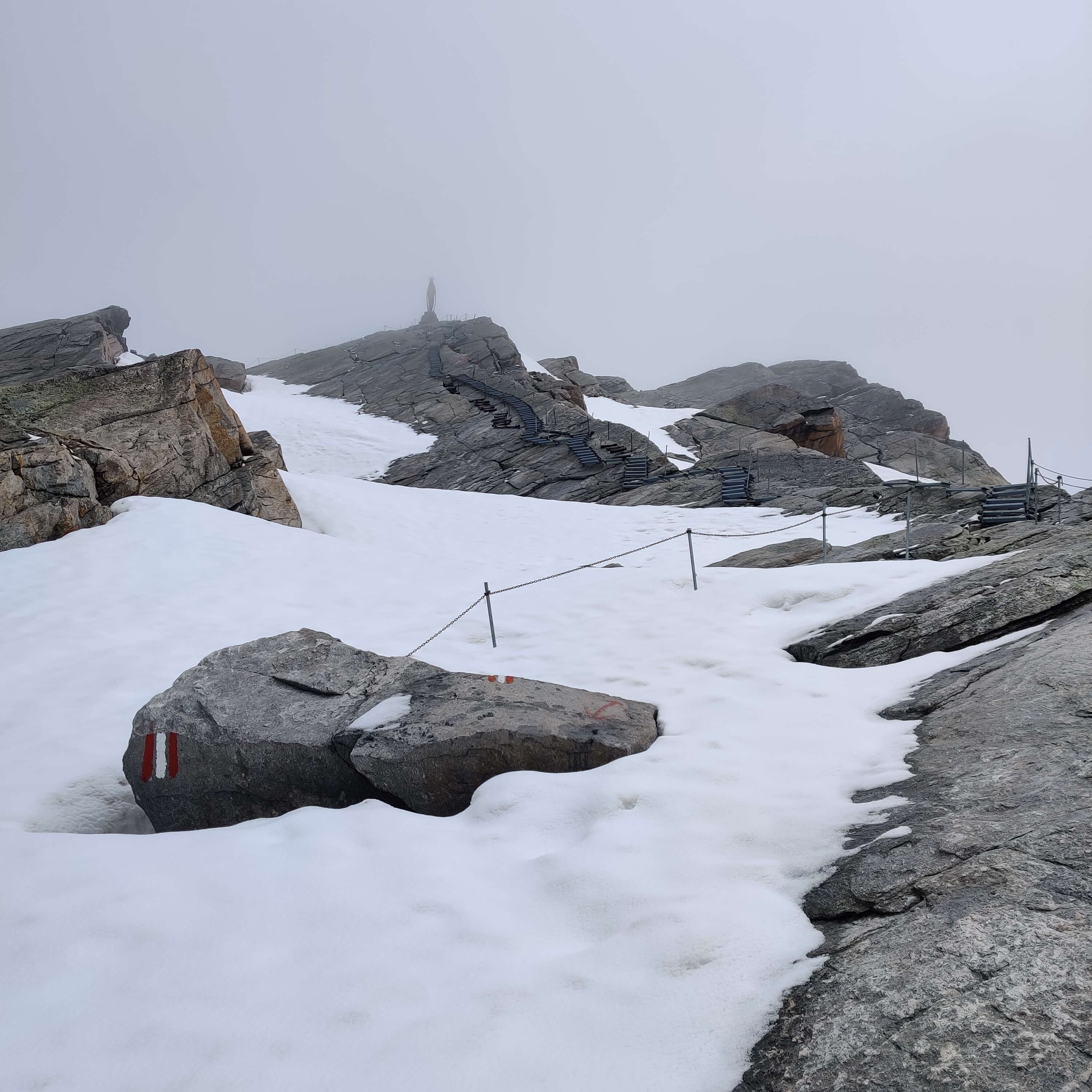
⛰️ Trail update: Great clear trail to the snow line. Possible to reach Monte Moro pass with minimal snow crossings, which could be mostly avoided by following the exposed rocky ridges.
❄️ Snow conditions: Snow line at 2,600M / 8,500FT on the IT / South side of the pass. Deepest on the ski runs. Impassable on the CH / North side of the pass.
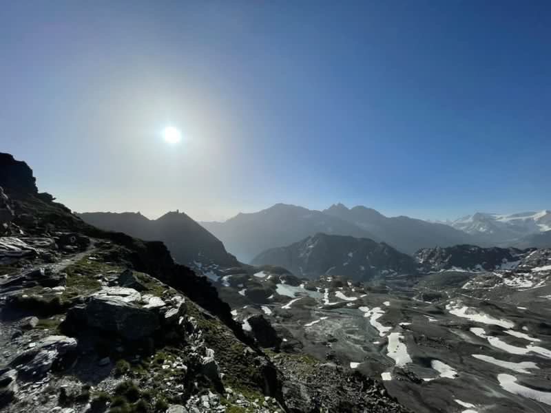
Just like any good adventure, today did not go according to plan! Originally I was planning to continue from Monte Moro pass into Switzerland to Saas Fee, past Mattmark dam. Unfortunately, the clouds blew in and significantly reduced visibility. I wasn't able to safely navigate the steep snowy traverse so I decided to turn back and return to Macugnaga.
📹 See my story/highlight @tourofmonterosa for more photos and videos of the conditions.
Comparing conditions to previous years
1) Heading up to Monte Moro from the South side (Italy)
June 2019

May 25th 2022
2) Looking back down into Italy from the Madonna at the pass

June 2019
May 25th 2022
MAY 26TH 2022: EUROPAWEG - RANDA TO ZERMATT
Start location: Randa, Switzerland
Finish location: Zermatt, Switzerland
Hikes following this trail:
Distance: 27km / 17mi
Elevation gain: 1,712m / 5,646ft
Time: 8 hours
What started as a cool and cloudy day quickly turned into a beautiful day providing stunning views across the valet to the Weisshorn. There was already a surprising number of people (~40) crossing the Charles Kuonen suspension bridge on a Thursday in May! As we got closer to Taschalp, we could see the Matterhorn but the peak remained covered in clouds. The only patch of snow we crossed was in the ski area near Tufteren - it was small and no problem to walk around!
⛰️ Trail update: The Europaweg trail is still officially closed and will open at the end of June - check here for status. We hiked up from Randa to join the Europaweg balcony trail at the same point you would from Herbriggen and continued all the way to Zermatt.
⛺ Wild camping update: There are very strict rules about wild camping in Switzerland. Due to changes in the Europaweg trail, we needed to find new wild camping spots. Luckily, we were able to spot 2 great spots for wild camping along the adjusted Europaweg trail. Specific locations will be shared with The Hiking Club customers in planning portal and GPS map.
🌉 Bridge update: The bridge connecting the trail with Galenburg has not yet been installed. Therefore, it's not yet possible to hike North from Europahutte to Galenburg. However, all temporary bridges are installed heading south to Zermatt.
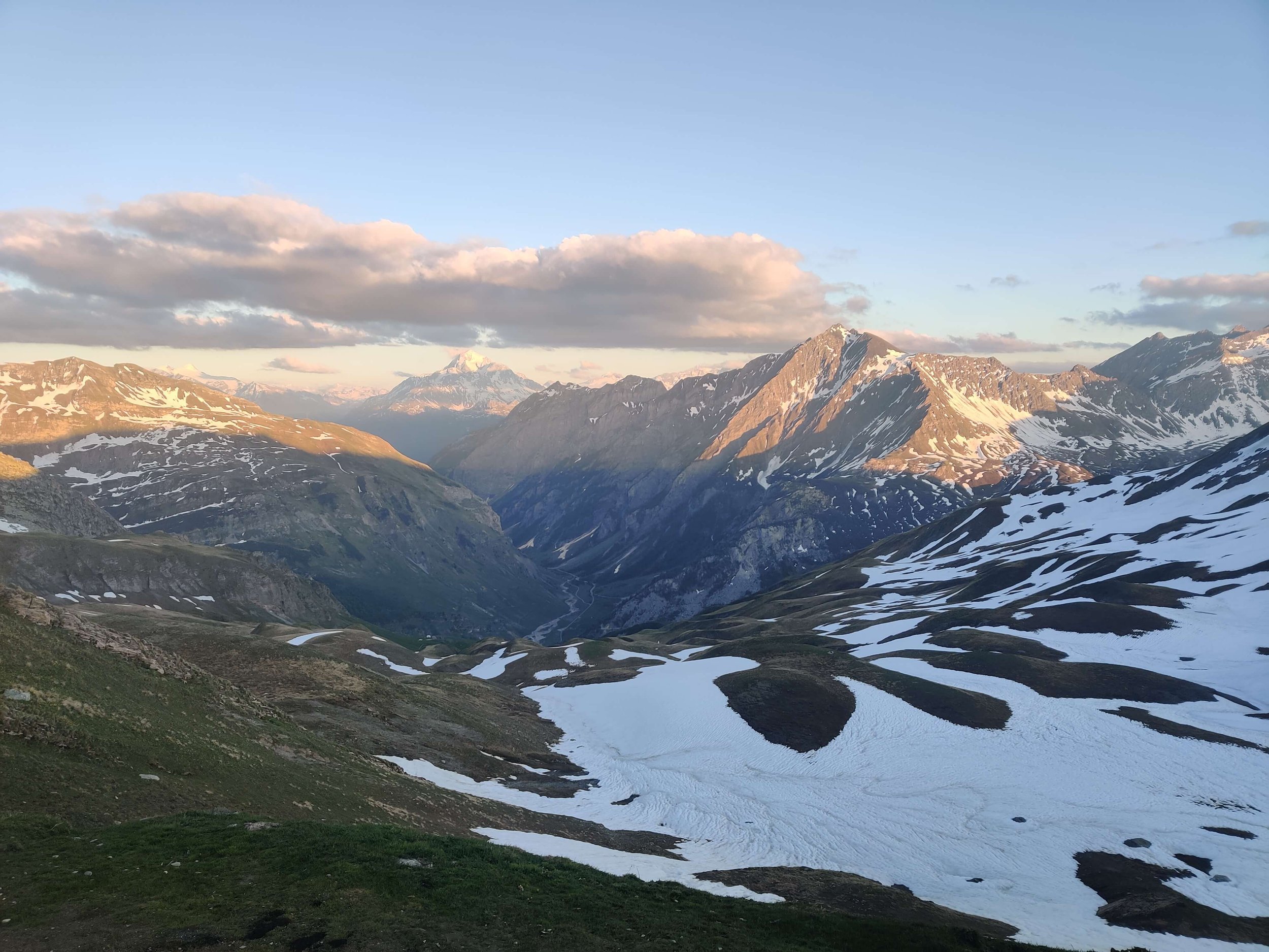
Snow level and line before starting
According to avalanche reports in France and Switzerland, the snow line has continued to rapidly rise and snow depth rapidly reduce throughout May.
You can see below that there is over 2m / 6.5 ft less snow present at 2,500m / 8,200ft compared to last year. The snow line is also 500-800 m / 1,600-2,600 ft.

Last Year: 20th May 2021 (source: Meteo France)

This Year: 22nd May 2022 (source: Meteo France)
I had a conversation with the manager of a restaurant near the Monte Moro pass (2,800m / 9,200 ft) on May 23rd and he said the snow up there seems more similar to the start of July, not end of May.
For those interested in hiking the trails we support in future years, please note that the amount of snow at the end of May this year is the exception, not the rule. The last time it was like this was in 2017. If you are planning in advance, it’s a much safer bet to start these hikes from;
Tour du Mont Blanc - mid June
Walker’s Haute Route - first weekend in July
Tour of Monte Rosa - first weekend in July
By this time of year;
Enough snow has melted to allow safe completion of trails, even in big snow years like the last two
Enough accommodation has opened to enable a wide range of achievable hiking plans
Enough transport has commenced operation to support hikers on their journey (either planned or unplanned)
It’s possible to go a bit earlier - it just depends on the year and whether you’re ok picking the lower routes (where there is a choice) and work around the closed accommodation and transport.
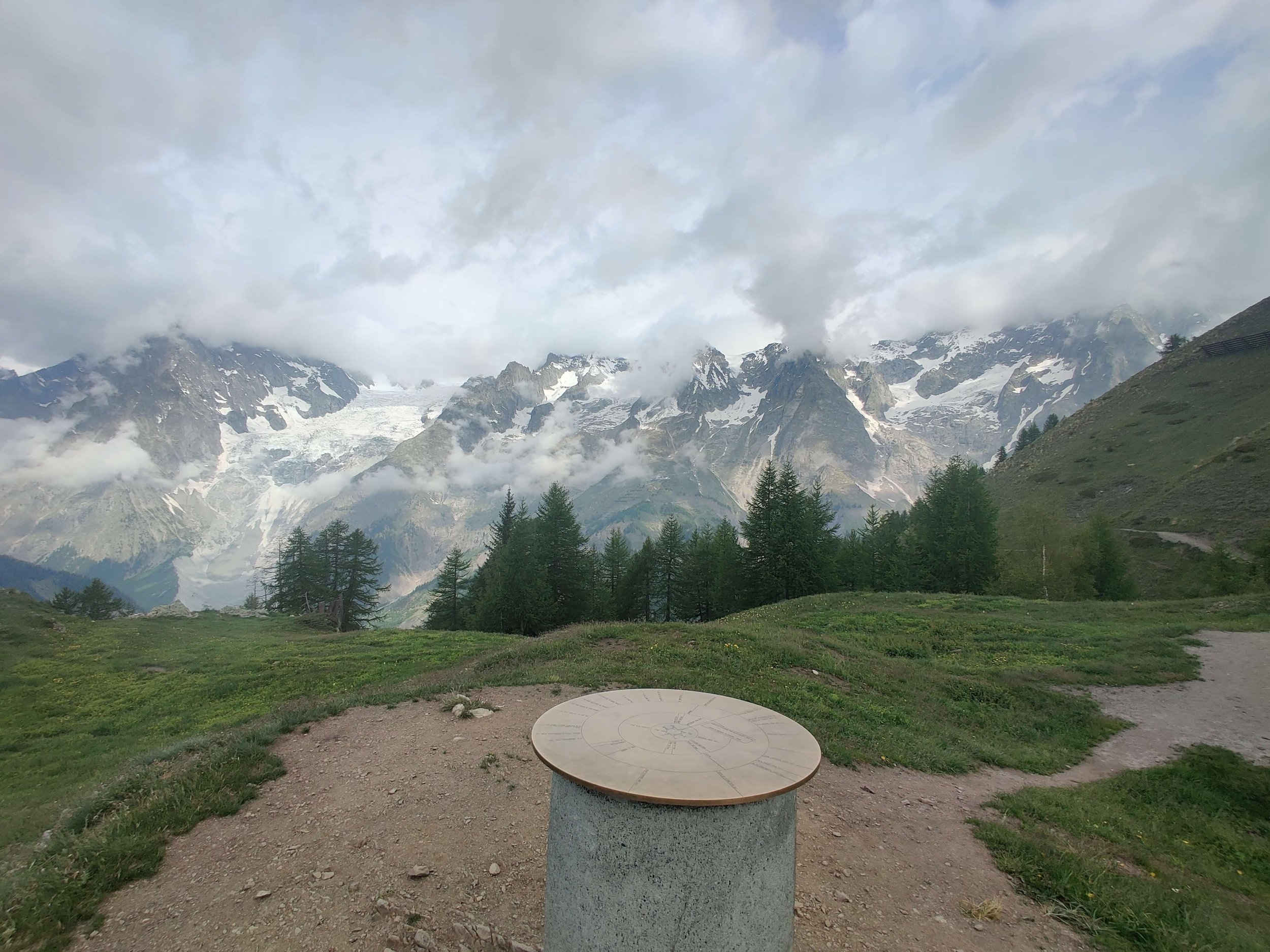
Given it is still very early in the season for my break the trail hike, the revised route I’ve outlined below is still subject to change as I move around the trails and get a better understanding of current conditions and deal with any changing conditions.
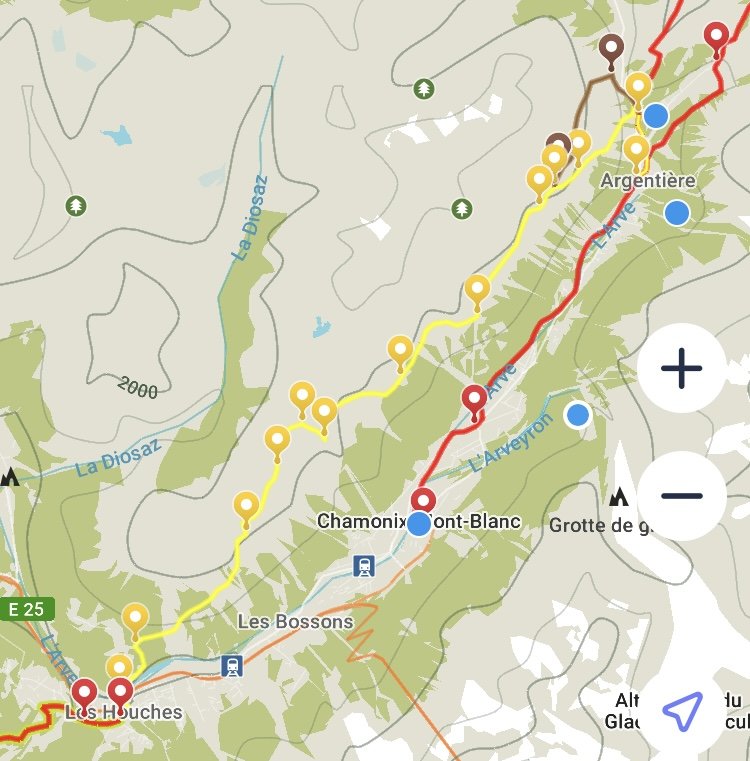
Planned Route
Here is a summary of the main changes I’ve made to my original plan;
Starting in Macugnaga, Italy rather than Chamonix, France
Beginning with a couple of days on the Tour of Monte Rosa and Walker’s Haute Route before teleporting to Champex Lac for a counter clockwise hike of the Tour du Mont Blanc.
Skipping the day around Emosson Dam and adding an extra day on the Tour du Mont Blanc so I can check out the snow at all the high mountain passes.
Skipping the Grand Saint Bernard pass due to still being closed during my window :(
Finish with a few days on the Walker’s Haute Route, ending the hike in Val d'Hérens.
You can find the trail stats and route details on each of my revised days below.
For daily updates, stories and see maps of specific routes I take, click to follow The Hiking Club Instagram handle.
Day 1: Macugnaga to Saas Fee
Day 1: Macugnaga, Italy on the Tour of Monte Rosa
Start Location: Macugnaga, Italy
End Location: Saas Fee, Switzerland
Hikes following this trail: Tour of Monte Rosa
Direction: Counter Clockwise
Distance: 23.5km / 14.6mi
Elevation Gain: 1,978m / 6,490ft
Elevation Loss: 1,482m / 4,862ft
Day 2: Herbriggen to Zermatt

Day 2: Europaweg on Walker’s Haute Route and Tour of Monte Rosa
Start Location: Herbriggen, Switzerland
End Location: Zermatt, Switzerland
Hikes following this trail: Tour of Monte Rosa / Walker’s Haute Route
Direction: Counter Clockwise / Eastward
Distance: 27km / 16.8mi
Elevation Gain: 1,980m / 6,496ft
Elevation Loss: 1,634m / 5,361ft
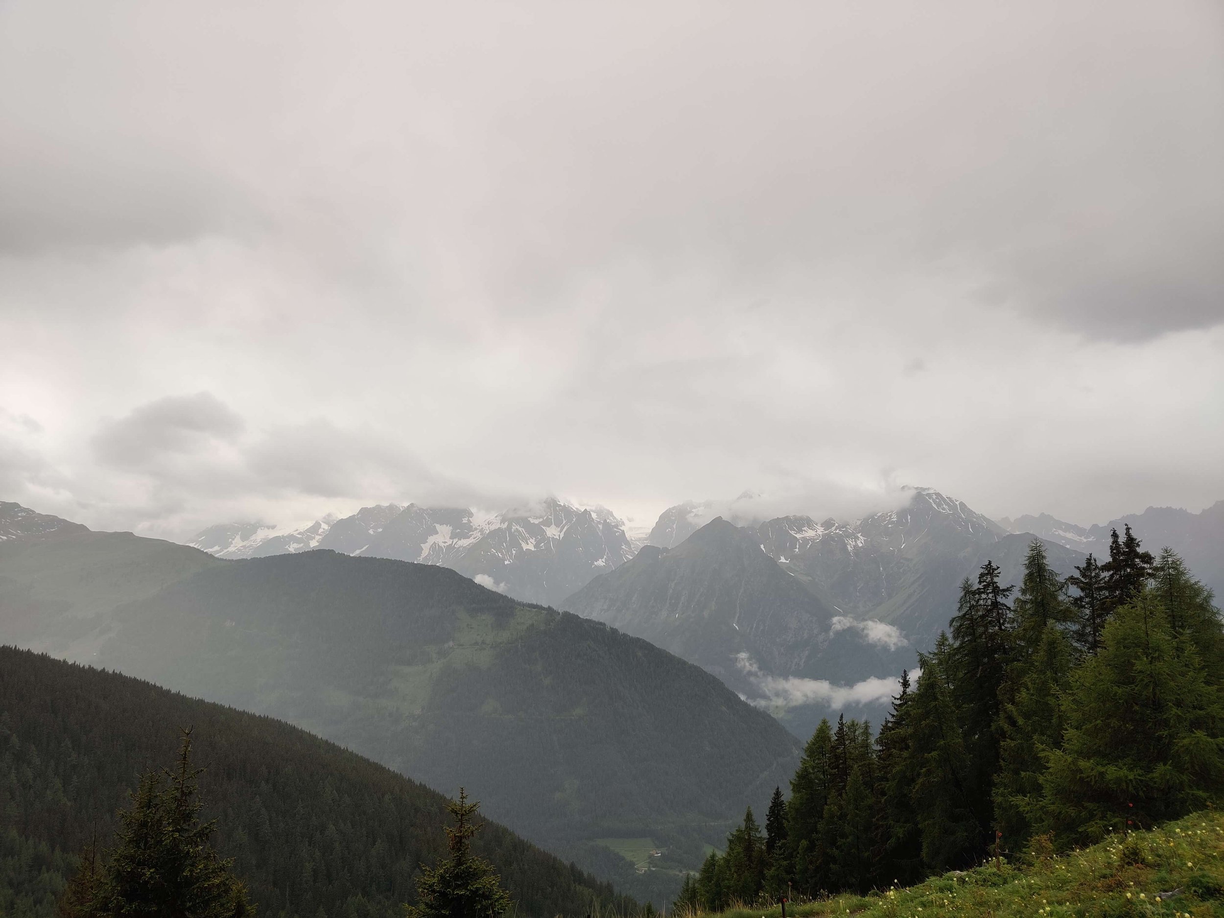
Day 3: Champex Lac to Argentiere

Day 3: Trient Glacier on the route from Champex Lac to Argentiere
Start Location: Champex Lac, Switzerland
End Location: Argentiere, France
Hikes following this trail: Tour du Mont Blanc / Walker’s Haute Route
Direction: Counter Clockwise / Westward
Distance: 28.1km / 17.5mi
Elevation Gain: 2,193m / 7,195ft
Elevation Loss: 2,408m / 7,900ft
Day 4: Argentiere to Les Houches
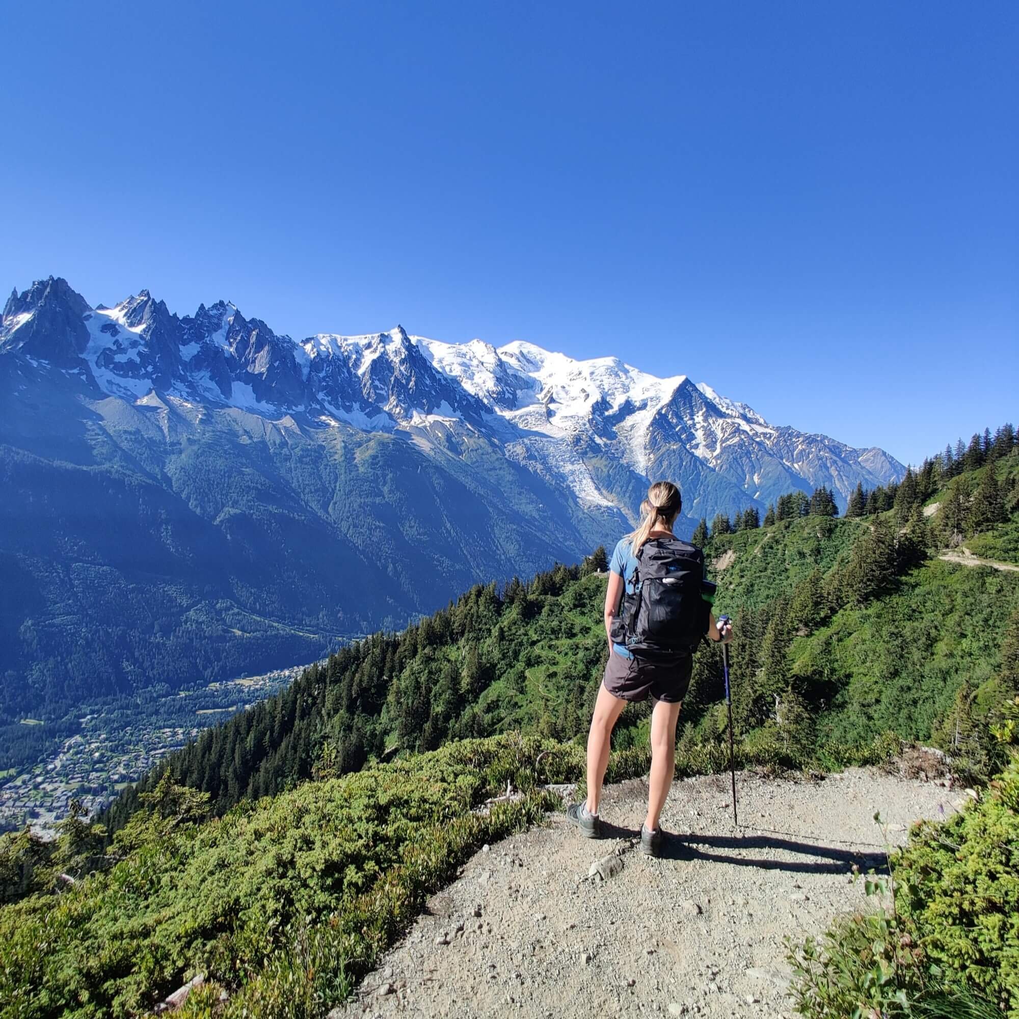
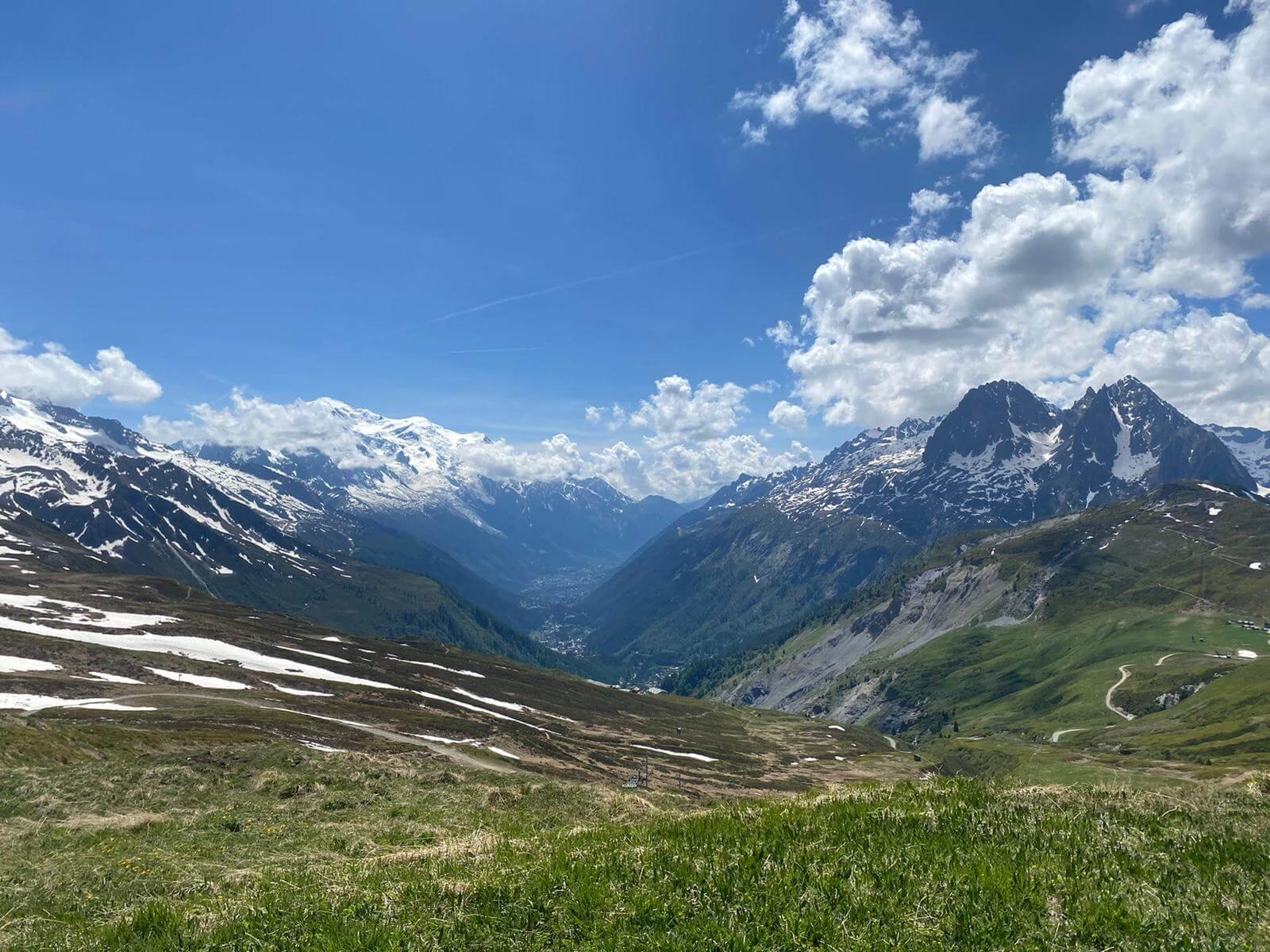
Day 4: Views of Mont Blanc on the Grand Balcon Sud between La Flegere and Plan Praz
Start Location: Argentiere, France
End Location: Les Houches, France
Hikes following this trail: Tour du Mont Blanc
Direction: Counter Clockwise
Distance: 25.9km / 16.1mi
Elevation Gain: 1,738m / 5,702ft
Elevation Loss: 1,981m / 6,499ft
Day 5:Les Houches to Refuge de la Croix

Day 5: Bionnassay swing bridge between Col de Voza and Col Tricot
Start Location: Les Houches, France
End Location: Refuge de la Croix, France
Hikes following this trail: Tour du Mont Blanc
Direction: Counter Clockwise
Distance: 31.4km / 19.5mi
Elevation Gain: 2,783m / 9,131ft
Elevation Loss: 1,348m / 4,423ft
Day 6: Refuge de la Croix to Courmayeur
Day 6: Mont Farve Spur on the Val Veny Balcony trail
Start Location: Refuge de la Croix, France
End Location: Courmayeur, Italy
Hikes following this trail: Tour du Mont Blanc
Direction: Counter Clockwise
Distance: 31.6km / 19.6mi
Elevation Gain: 1,686m / 5,531ft
Elevation Loss: 2,903m / 9,524ft
Day 7: Courmayeur to La Fouly

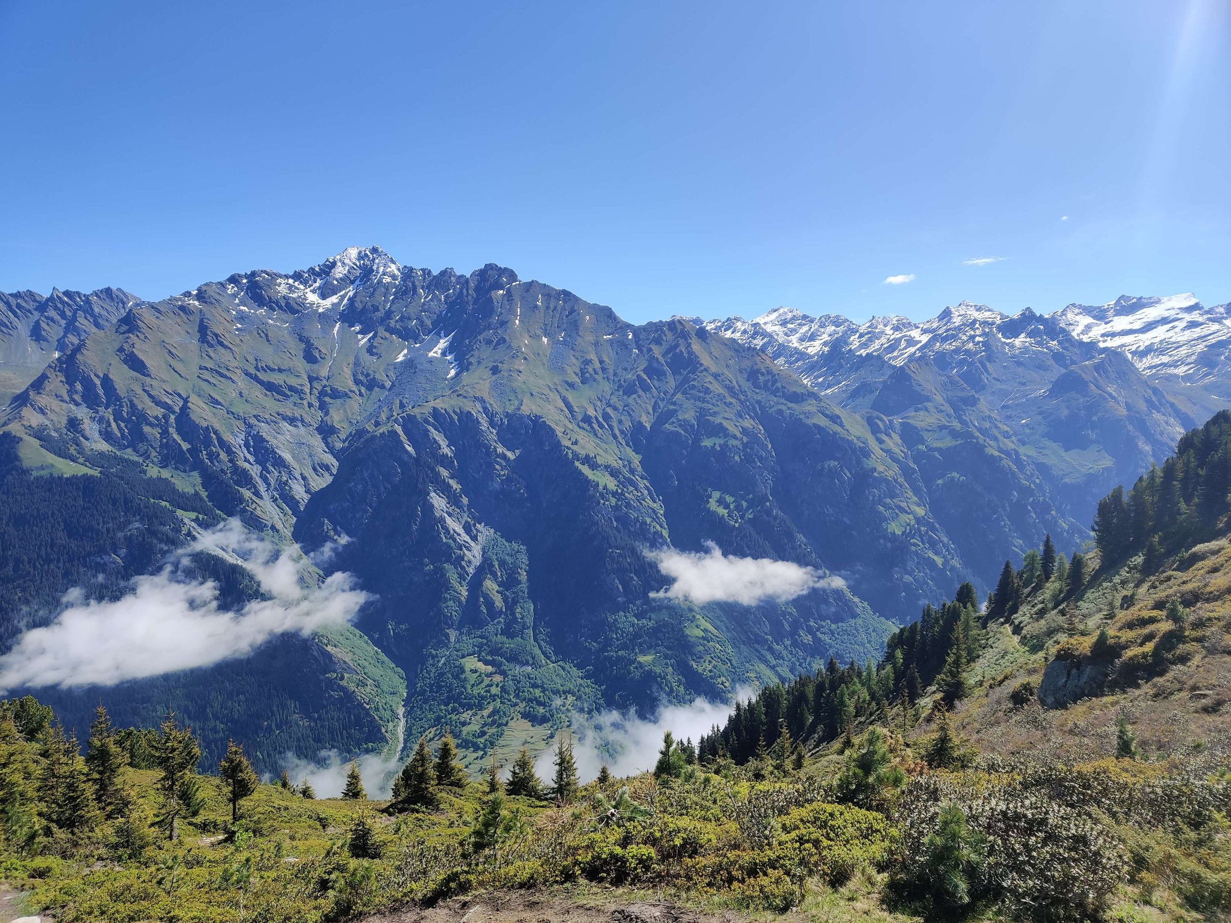
Day 7: Near Rifugio Bertone on the main Tour du Mont Blanc trail along Val Ferret
Start Location: Courmayeur, Italy
End Location: La Fouly, Switzerland
Hikes following this trail: Tour du Mont Blanc
Direction: Counter Clockwise
Distance: 31.2km / 19.4mi
Elevation Gain: 1,961m / 6,434ft
Elevation Loss: 1,587m / 5,207ft
Day 8: Bourg-Saint-Pierre to Cabane de Louvie

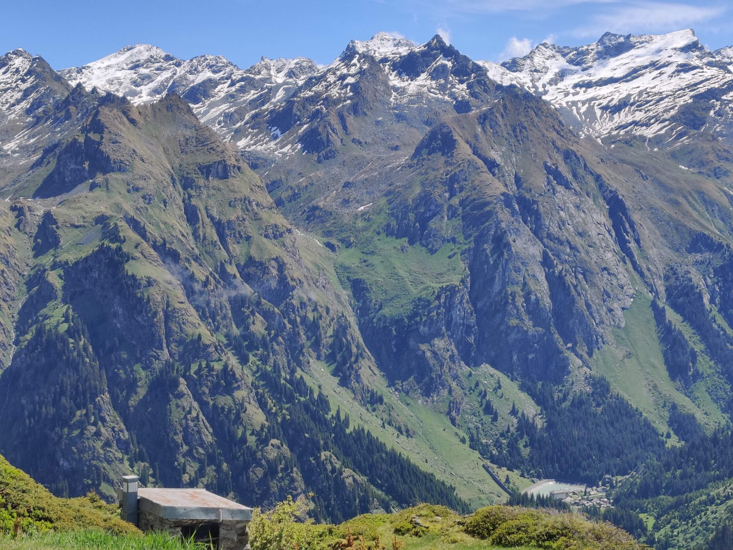
Day 8: The Mont Blanc massif from Col de Mille
Start Location: Bourg-Saint-Pierre, Switzerland
End Location: Cabane de Louvie, Switzerland
Hikes following this trail: Tour des Combins / Walker’s Haute Route
Direction: Clockwise / Eastward
Distance: 28.9km / 18mi
Elevation Gain: 2,497m / 8,192ft
Elevation Loss: 1,904m / 6,247ft
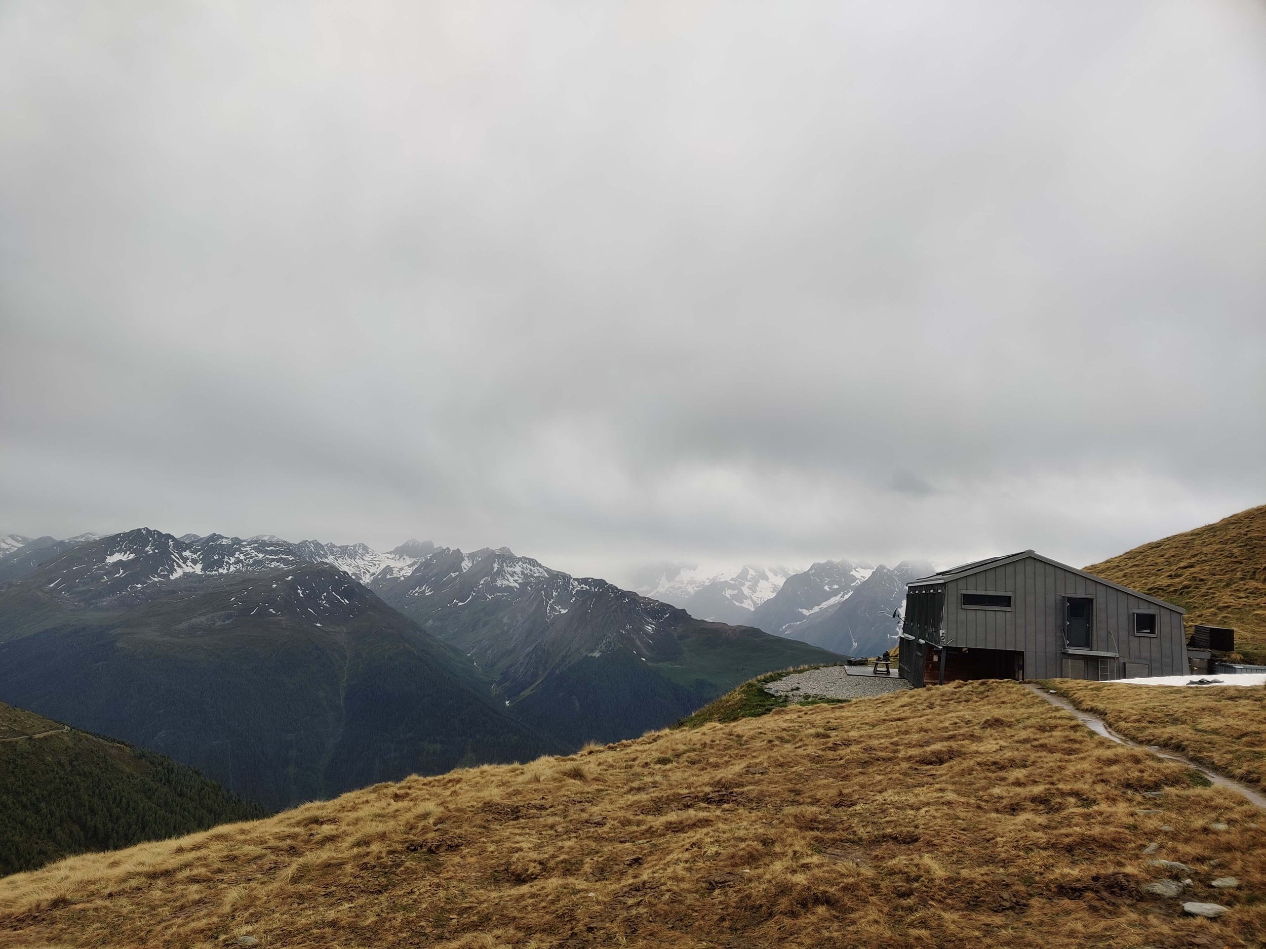
Day 9: Cabane de Louvie to Refuge la Barma
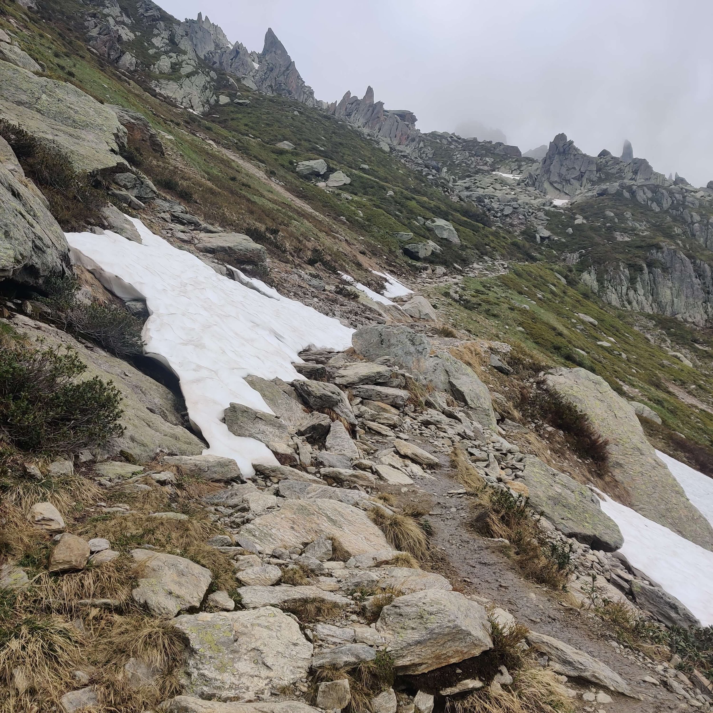
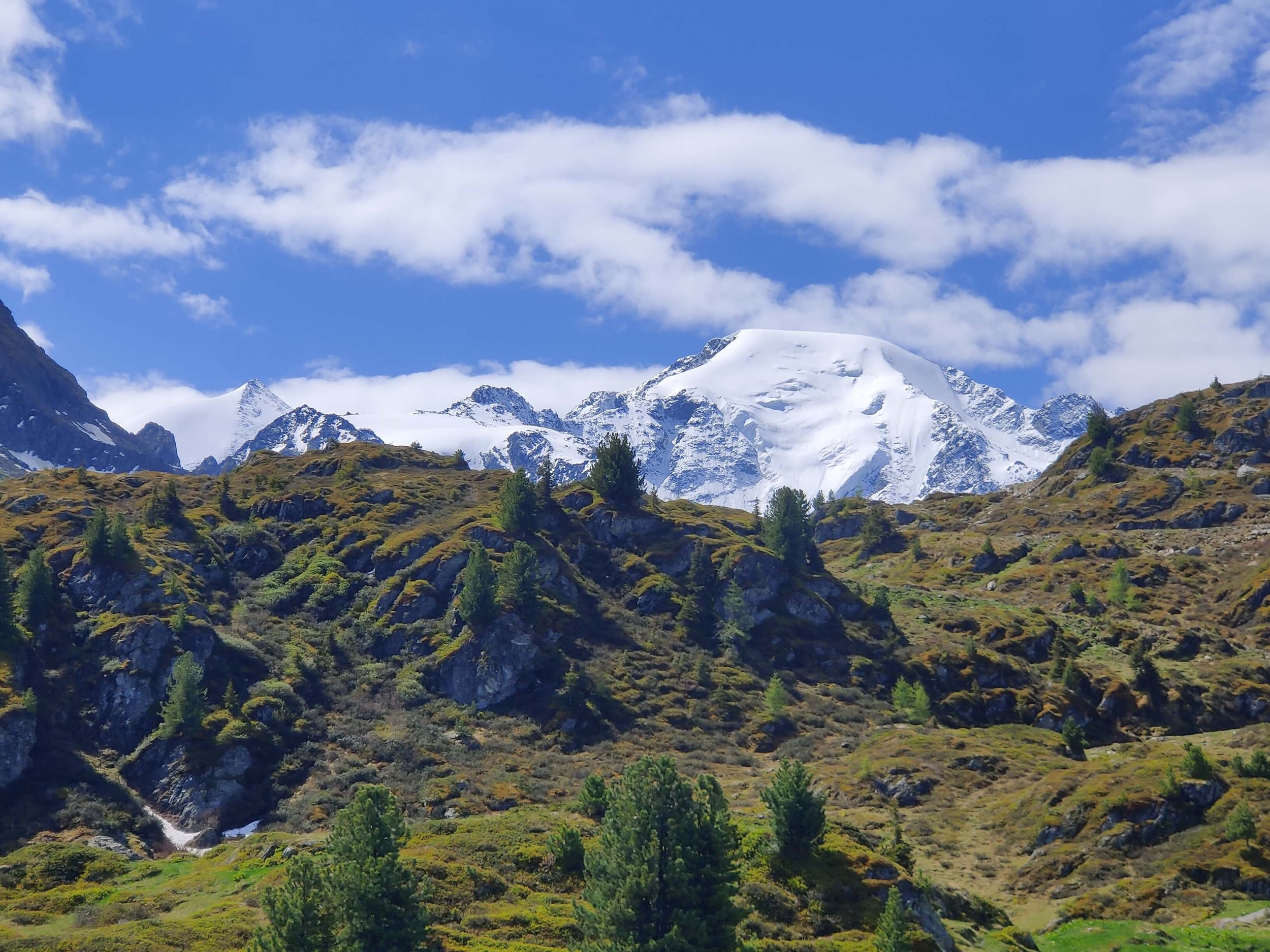
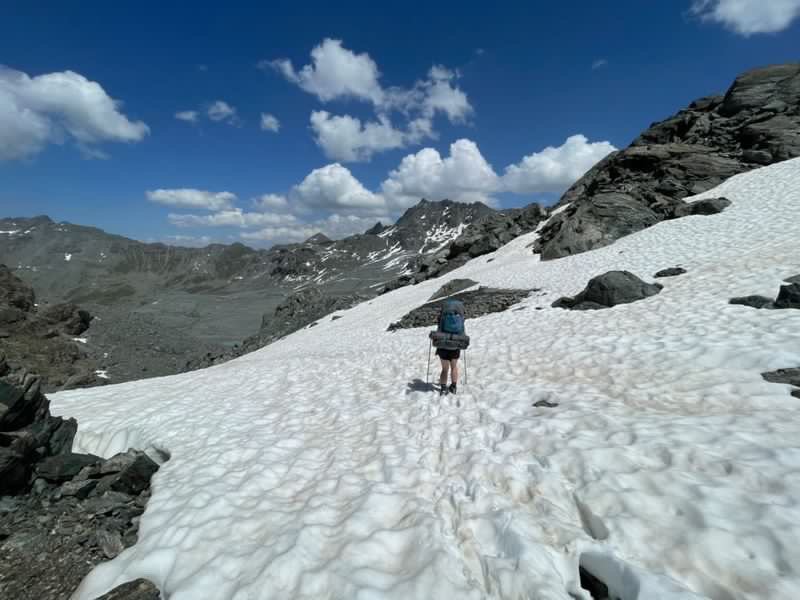
Day 9: Snow expected in the Grand Desert between Col de Louvie and Col de Prafleuri
Start Location: Cabane de Louvie, Switzerland
End Location: Refuge la Barma, Switzerland
Hikes following this trail: Walker’s Haute Route
Direction: Eastward
Distance: 16.1km / 10mi
Elevation Gain: 1,158m / 3,799ft
Elevation Loss: 925m / 3,035ft
Day 10: Refuge la Barma to Les Hauderes

Day 10: Cabane des Dix overooking the Cheilon glacier which hikers can cross on the Walker’s Haute Route
Start Location: Refuge la Barma, Switzerland
End Location: Les Hauderes, Switzerland
Hikes following this trail: Walker’s Haute Route
Direction: Eastward
Distance: 25.2km / 15.7mi
Elevation Gain: 938m / 3,077ft
Elevation Loss: 1,944m / 6,378ft
For daily updates and stories, click to follow The Hiking Club Instagram handle.

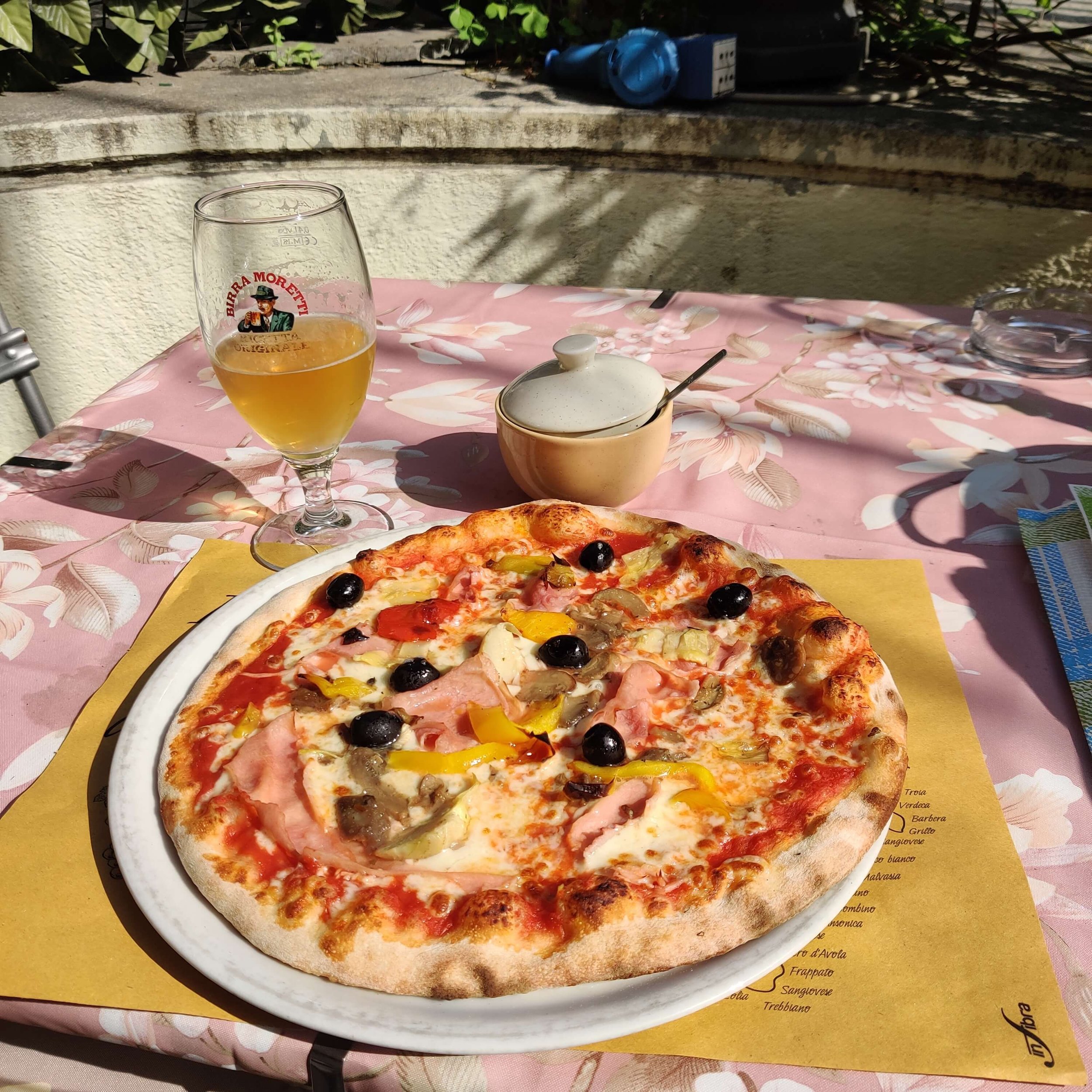
Author: Brendan Jones, Founder, The Hiking Club
A pizza-making, craft beer-loving, peanut butter connoisseur that has been exploring the great outdoors since completing the Duke of Edinburgh Award in high school. He started The Hiking Club to democratise hiking and the benefits that come from spending time in nature.