Hiking around the world

Finding stillness and connection through hiking

Finding stillness and connection through hiking


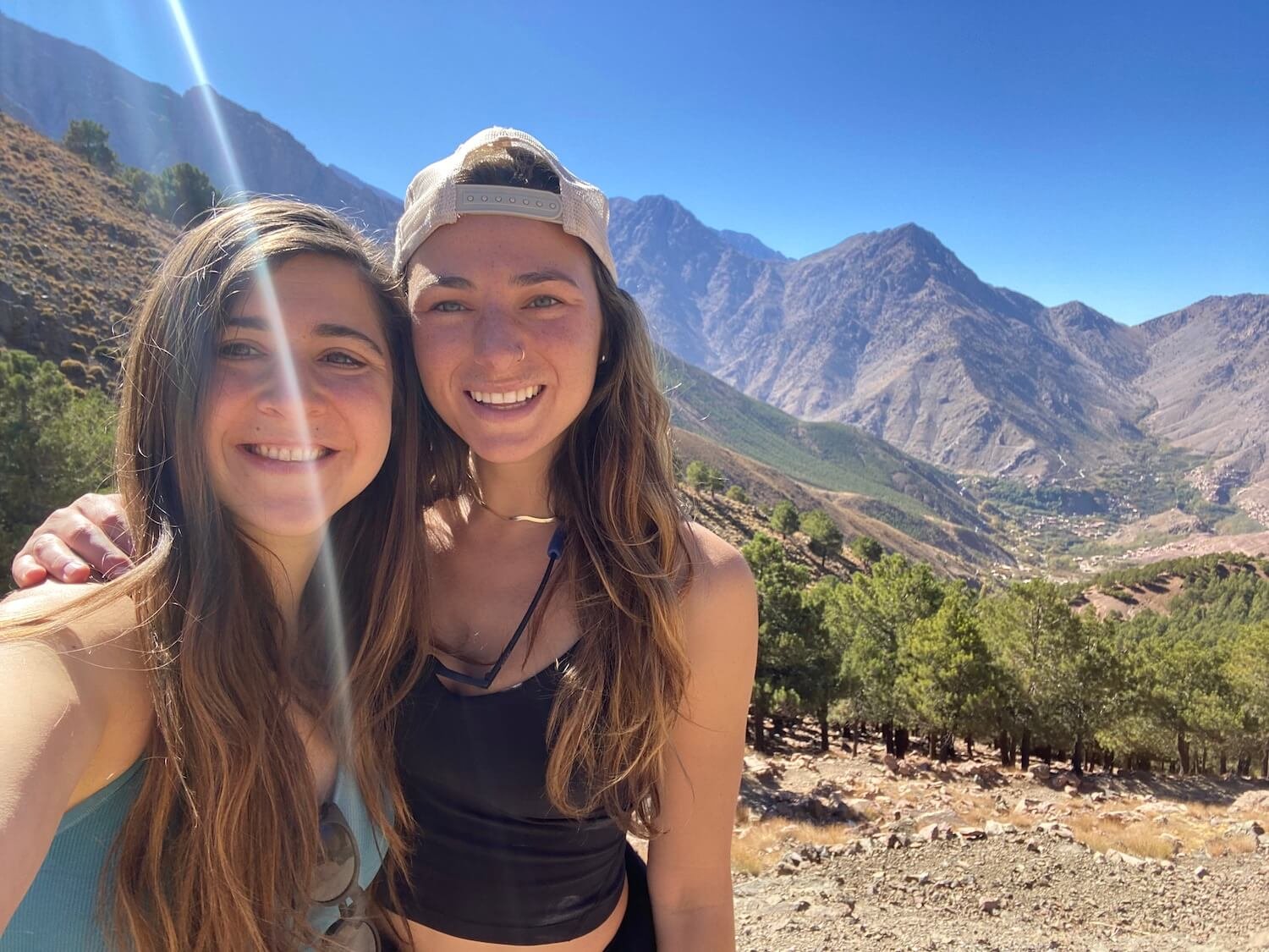
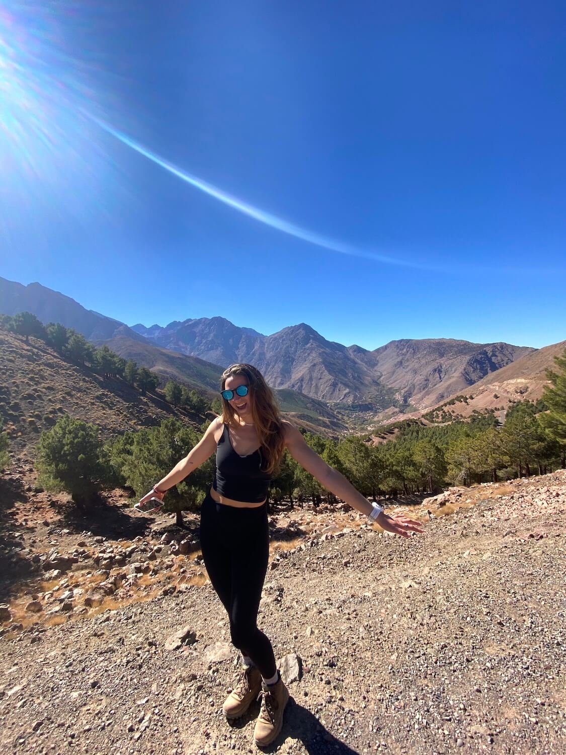
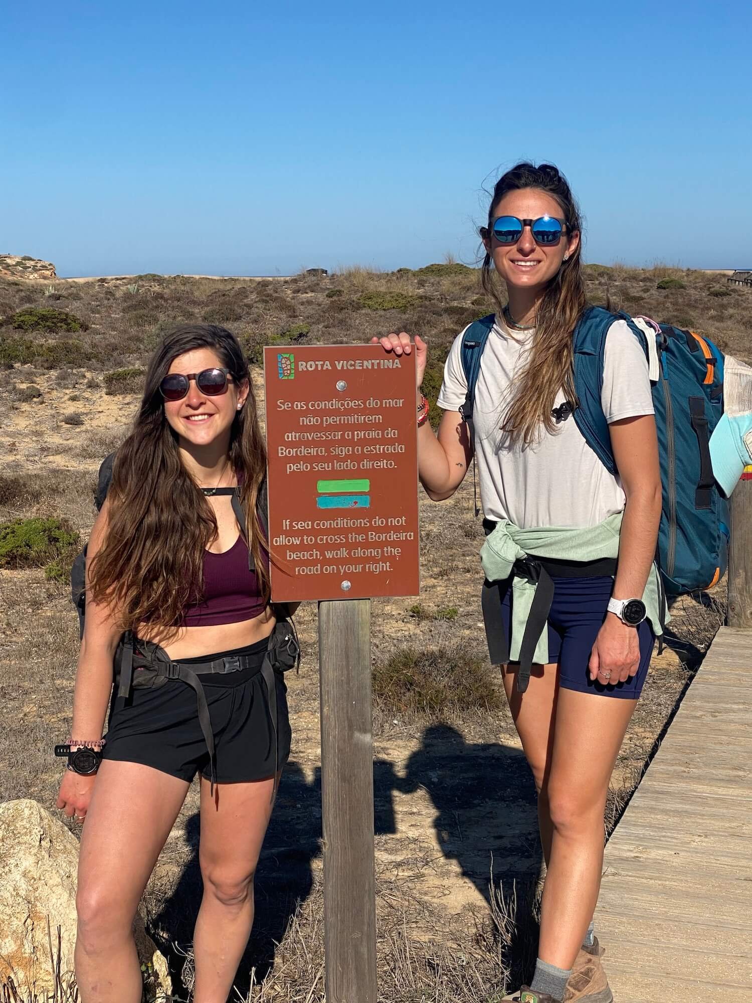
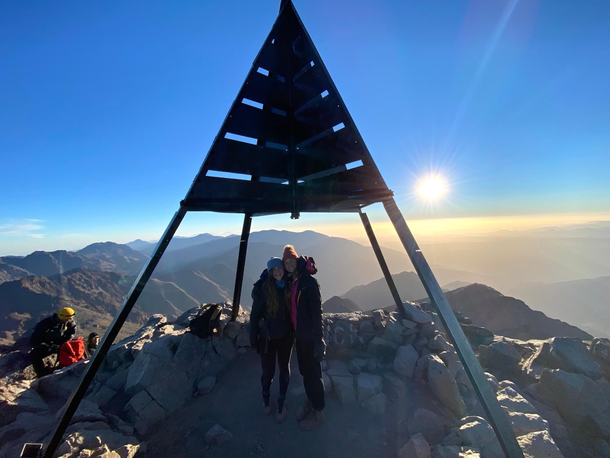
Kayla Costigan is an American travel nurse I met while I was trekking solo in New Zealand. We connected over a shared passion for travel, nature, movement, and helping others. We have since hiked together throughout the United States, as well as in Morocco, Portugal, and Prague. I asked Kayla some questions about what hiking means to her. This is her story…


As a kid, my parents would have to drag me to go hiking. We would go to New Hampshire from our small Boston suburb and hike for one to two hours. I remember trying to beat my sister to the top, eating Clif Bars, and only pausing for one minute before running back down.

I then hiked a few times as a young adult. Once, when planning a trip in Colorado with my sister, I remember thinking, ‘these reviews on AllTrails are not right. I could push myself to more advanced hikes and higher peaks’. As sports slowly exited my life and physical feats were harder to come by, I began turning to other things to feel accomplished and focus on, and hiking filled that void. 

In early 2020, I was planning a solo trip to New Zealand and Australia for two months. The perk of traveling solo was that I could plan the trip that I wanted. I searched online for the best hikes in New Zealand and learned about the Great Walks. I was hooked. My first choice was the popular Milford Sound Track, but it was sold out for my dates. The second was the Kepler Track. The hike was for four days and three nights. Woah, overnight hiking? I hadn’t done anything like that before. I wondered what it would entail? Would I sleep in a tent? What gear would I need to bring?

I signed up for the trek on Christmas eve, as my family watched Harry Potter next to me, complaining about the light from my laptop. I smiled to myself as I closed my computer after reading the confirmation email. I was ready to take my hiking to the next level. I would be doing the Kepler Track.

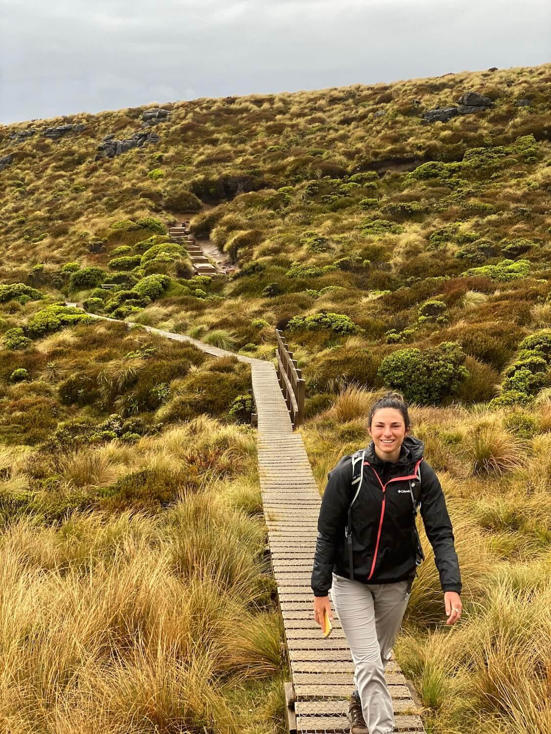
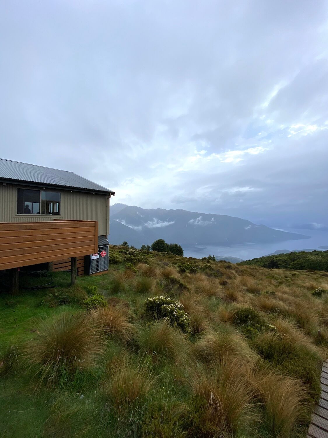
Kepler Track, New Zealand. Jan/Feb 2020. Photo: Sam Goldklang.

I learned that I was not sleeping in a tent but in hiker huts tucked into the mountains. I had never done anything like this. I made it to the start of the trek after countless Google searches for flights, buses, and hostels in these ‘Southern Alps’.

The day was finally here. With my bag packed, I stood at the permit office in New Zealand. “You should not do the trek!” the woman at the desk said as she judged the abnormally small size of my pack. “The forecast is for inclement weather, the most rain New Zealand has seen in 100 years. There is a risk of mud-slides”. I had traveled so far to do this hike and had my heart set on it. I had been running every day to train for it. I needed it. 

I thought to myself, ‘okay, I will go to the first hut, if I feel unsafe, then I just turn around and hike out, as simple as that.’ I felt prepared with enough food and water to last me a few days and I had plenty of layers to keep warm.

First hut on the Kepler Track, New Zealand. Jan/Feb 2020. Photo: Sam Goldklang.

Kepler Track, New Zealand. Jan/Feb 2020. Photo: Sam Goldklang.

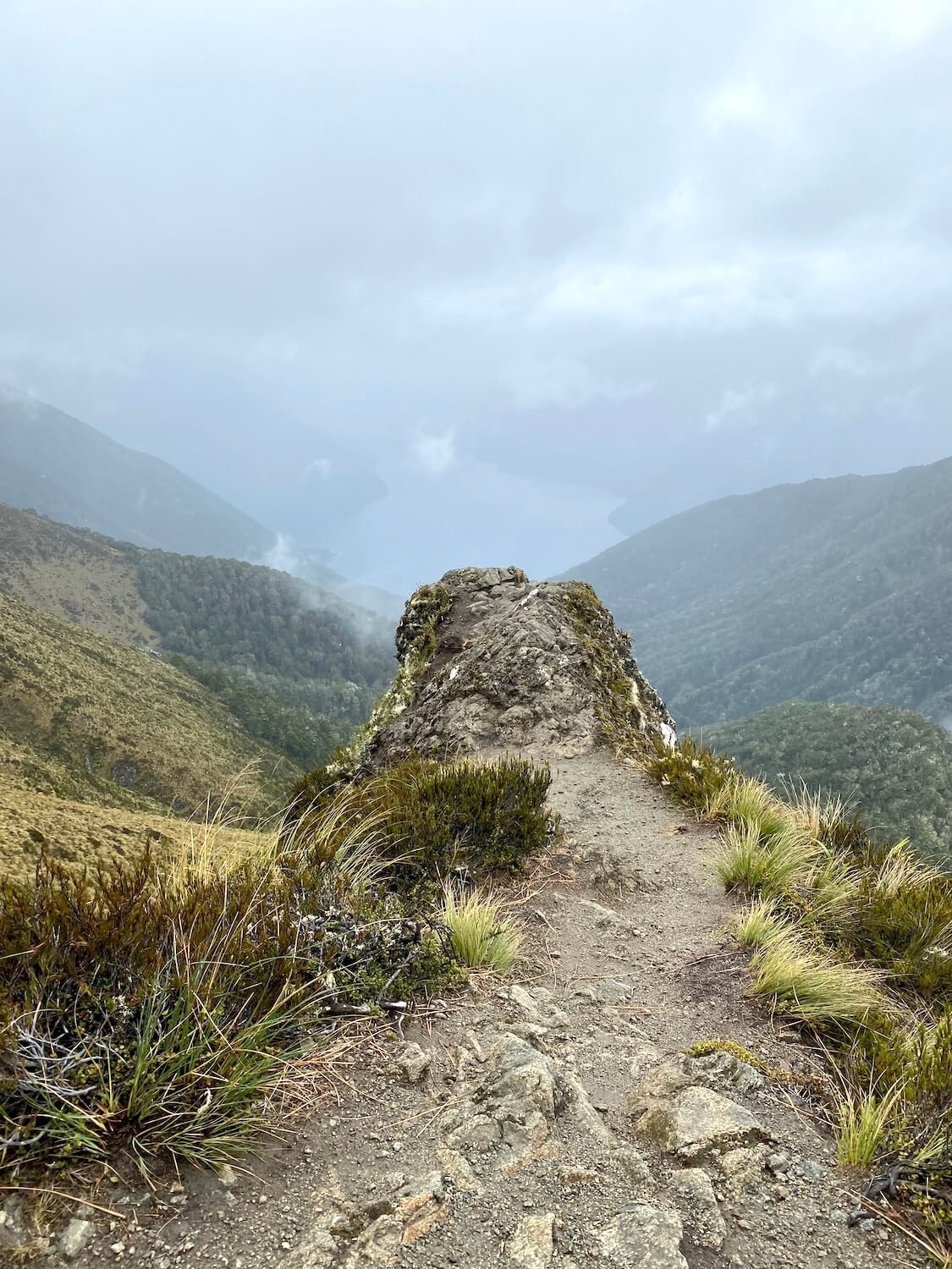
I followed my gut, the same one I have learned to listen to and trust. I entered the trail alone with hours and miles of hiking ahead of me. I can do this, I know I can. I watched my cell phone service bars dwindle with the sunlight. The clouds were upon me but I kept moving forward. I realized that I had never been alone in the mountains before, let alone mountains on the southern island of New Zealand. It was gorgeous. 

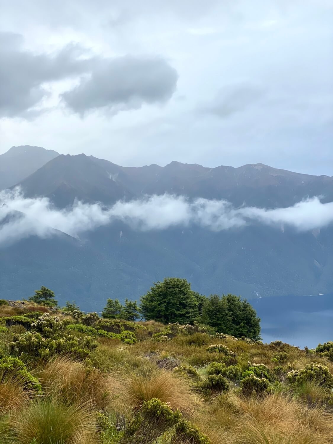
I started seeing glimpses of giant fjords through the clouds, proof of my elevation gain and an inspiration to fuel those endorphins and tolerate the raindrops beginning to fall from the sky. 

For one of the first times in my life I felt peace and was comforted by the silence and solitude. I was no longer afraid but energized, walking step by step toward my goal, and knowing that I had got myself to this moment. I felt a sense of calm that would help shape many future decisions. Instead of only chasing the highs, the excitement, and the peaks, I started seeking out quiet sacred moments with my best friend: myself.

Kepler Track, New Zealand. Jan/Feb 2020. Photo: Sam Goldklang.

Throughout the trek, I was sometimes alone, but at other times I connected with hikers on similar, parallel journeys who, like me, appreciate the power of nature and the peace it provides. Yes, I did make it to the first hut that day! After four 4 days of walking, I completed the Kepler Track; hiking through record rainfall, finding direction through nature, both presently and for my future, and connecting with new friends along the way. 

At that first hut, I met Sam, a hiker from Seattle who was also trekking and traveling solo, seeking peace and connection with nature to help her along her personal journey. People you meet on the trail are special and they stick with you. You create a bond that is unique to the disconnection from the rest of the world, something that is hard to come by in our connected world. The trail provides this space. 

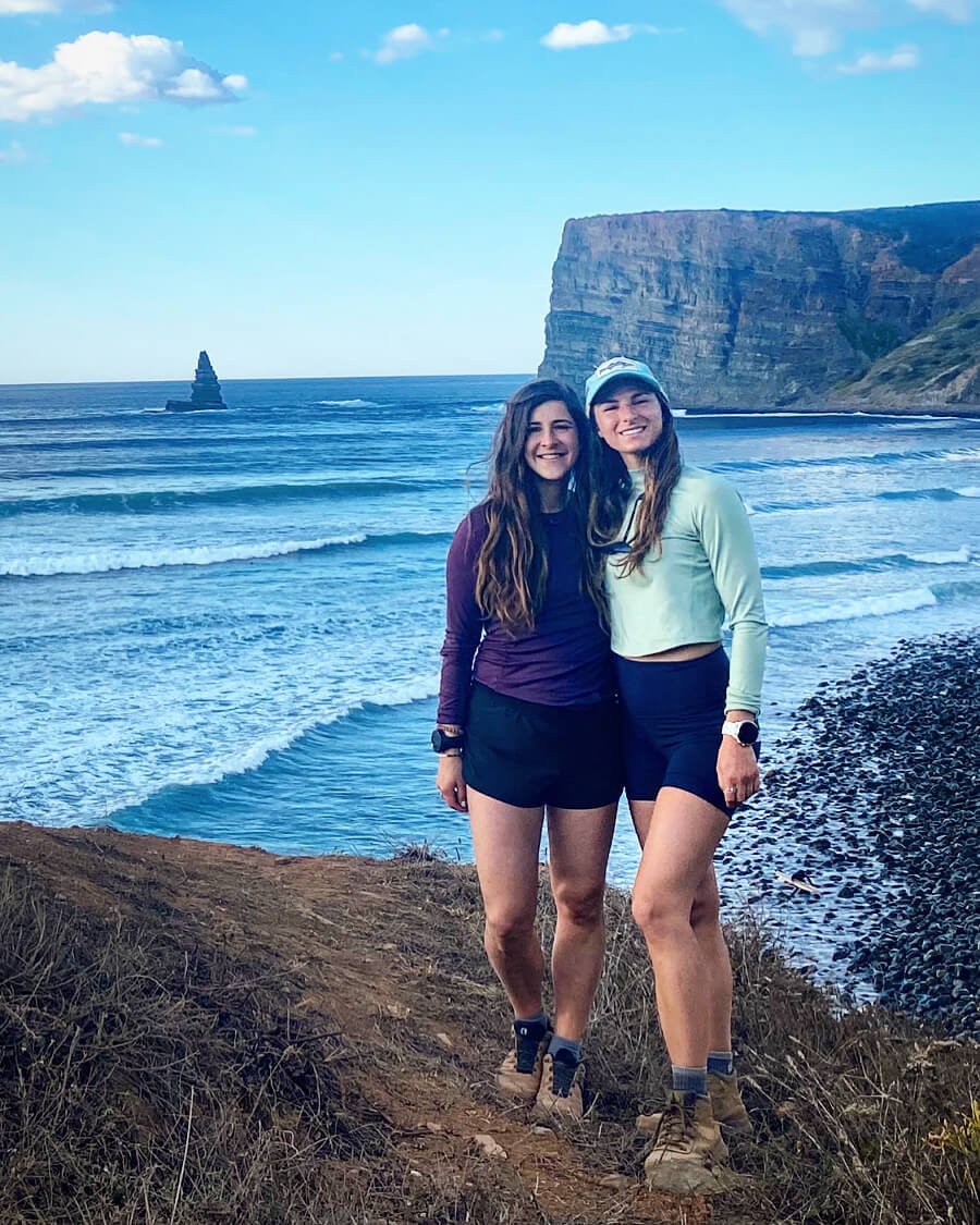
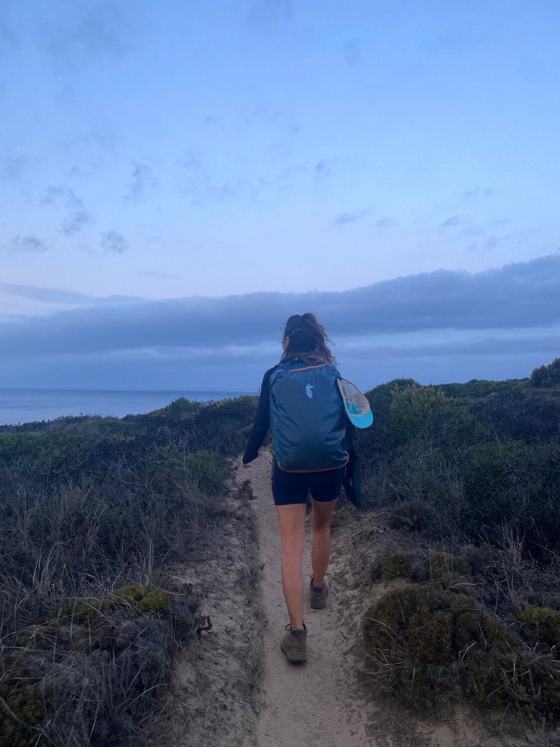
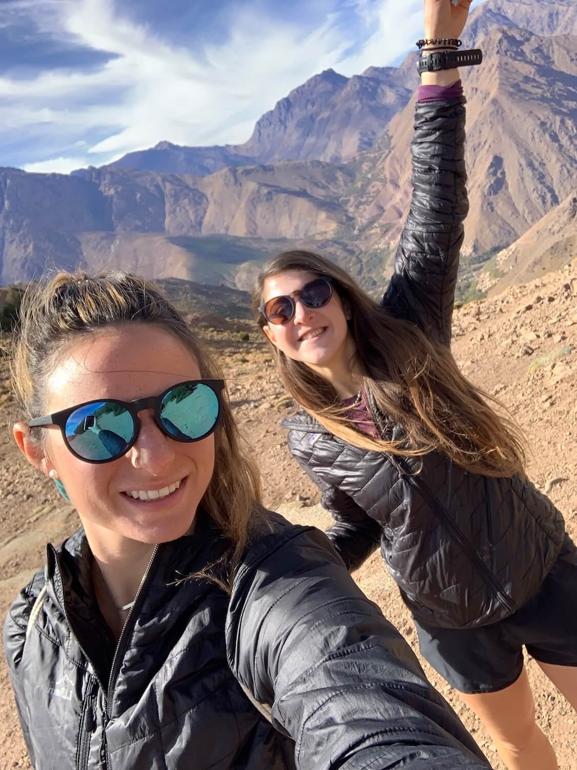
Since meeting in that hut in New Zealand, Sam and I have hiked in 4 additional countries, completing a road trip through the National Parks of Utah, USA, on a guided trek through the Atlas Mountains in Morocco to the second highest peak in Africa, up the coast of Portugal on The Fisherman’s Trail, and on a day hike outside of Prague. 

Sam Goldklang and Kayla Costigan on the Kepler Track, New Zealand. Jan/Feb 2020. Photo: Sam Goldklang.

Any conversation on a trail is pure, whether it is with other hikers or with yourself. It is my favorite place to get quiet and tune into my gut. Hiking is where I am the most present and able to fully listen with the intent to learn and share my own wisdom and experience in return. The presence that I found on the trail is something I now try to bring into the rest of my life. 

I now seek out other ways to shut down my mind without needing a flight across the world or an epic adventure. These are things I can bring into my everyday life. I fell in love with meditation and recently became a certified meditation teacher. I find quiet moments in my days to be still, feel present, and take it all in. I practice yoga, find nature wherever I can, go for walks or runs wherever I am, and drag friends and family to appreciate the power that the quiet of nature provides. 

The Kepler Track changed what it is I seek out in life. It made me crave peace, a type of peace that is easily found in nature, and it brought amazing people into my life. It helped me begin to explore the body mind connection and the power that exists between the two. 

Hiking is a form of moving meditation to me, and whether alone or with others, it is the time I use to check in with myself and where I am in life and on my journey. It is a time where I find a sense of stillness in motion and that in turn brings me peace.
Author: Sam Goldklang, USA
Sam is an everyday adventurer who resides in Washington State, USA. She has completed the Wonderland trail and summited the 5 tallest peaks in the lower 48 states, including Mt Rainier. Sam has hiked around the world with some of her notable trails being: the Tour Du Mont Blanc in the Alps, The Kepler and Routeburn tracks in New Zealand, the Salkantay Trek in Peru, the Mt Toubkal trek through the Atlas Mountains in Morocco, The Fisherman's trail in Portugal, and Trolltunga in Norway. Sam spends her days working as a Pediatric Nurse Practitioner and on the weekends she'll be hiking, camping, trail running, backpacking, or skiing around the Pacific Northwest.
Follow her adventures on instagram: @sgoldk


WHO ARE WE?

The Hiking Club empowers anyone to walk the way they want in the wild with personalised self-guided hiking experiences that are easy to find, quick to plan and simple to navigate.

We believe hiking experiences have the power to transform lives. With a growing range of personalised hikes that take into account your preferences, fitness and interests, we give you everything you need to explore the legendary trails of the world!

Forging friendships from Mt Ninderry to The Great Wall of China

Forging friendships from Mt Ninderry to The Great Wall of China

Community Leader Spotlight: Di, Liz and The Adventure Angels hiking group
on the Sunshine Coast, Australia.


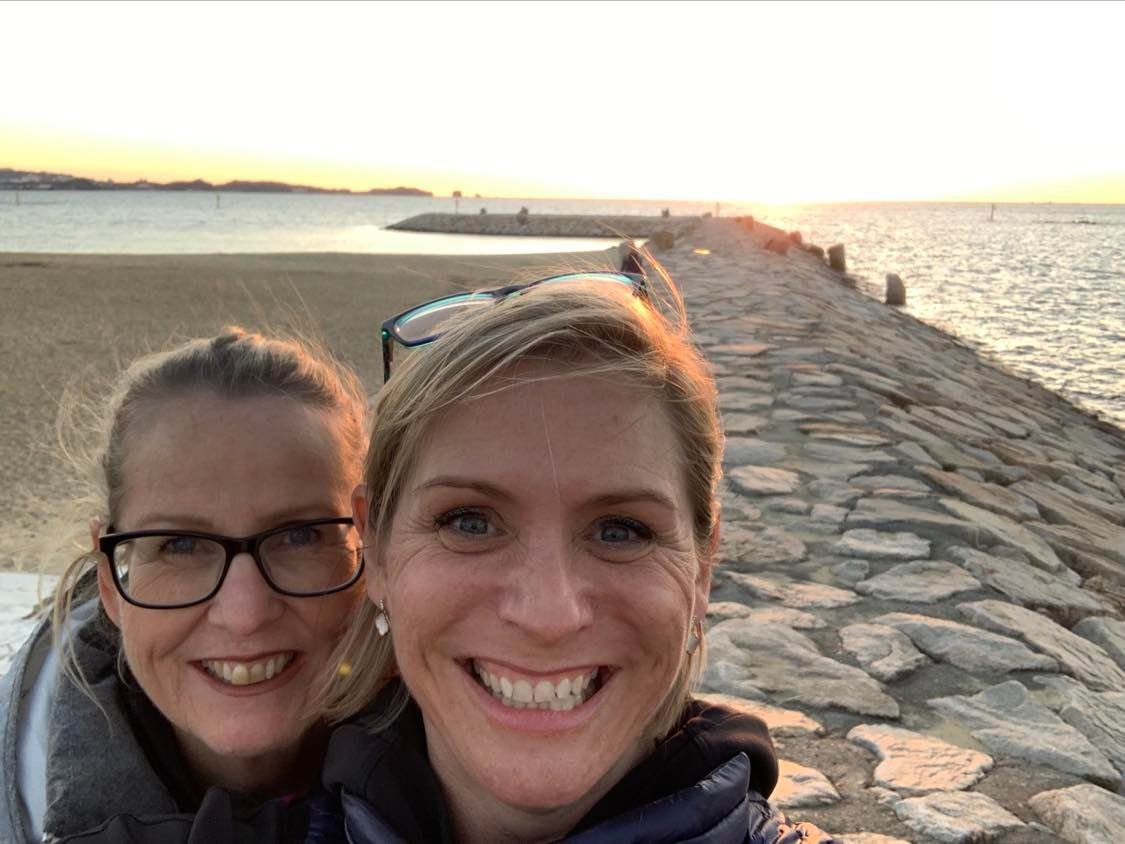
In 2015, while in recovery from breast cancer, Di Olson pledged to walk 5 days along The Great Wall of China to raise funds for cancer research. “I’ll do it with you!” was the instant commitment from her best friend Liz Ward. Little did they know, this hike would spark a love of hiking for more than just the two of them.


Di and Liz and The Adventure Angels on a sunrise training hike on the Sunshine Coast, Australia.

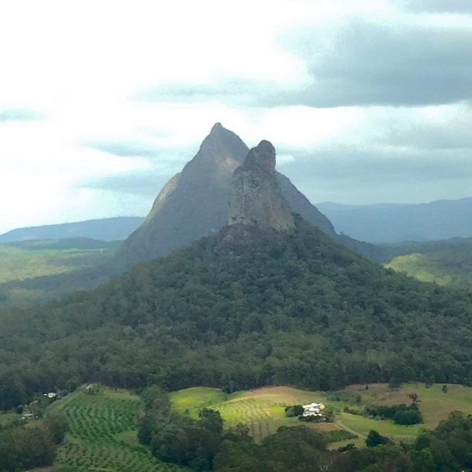
New to hiking, Di and Liz were aware of the challenges of the 5 day hike they had planned nearly 12 months away. With difficult access to parts of the trail, some less well-maintained sections, and heights up to 3250 m (10,662 ft), both knew they would be disappointed if their physical fitness let them down. So they began scheduling regular training hikes in their local areas on the Sunshine Coast in Queensland, Australia. Before long, a group of friends and acquaintances were joining them on sunrise hikes up Mt Ninderry, Ngungun and Mt Coolum.

After months of religiously meeting at 5am for a hike, several times a week, a core group of women had become close friends. “Acceptance, tolerance and camaraderie became what our group was about,” Di recalls the atmosphere of those training hikes in the early days of The Adventure Angels.

The group is made up of women between the ages of 47 and 67 who are also business owners, parents and professionals from a variety of backgrounds. Like Di, some of the women are also cancer survivors. 

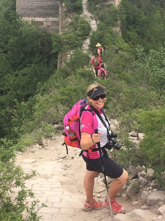
Di Olson climbing the Great Wall of China.

In the lead up to The Great Wall of China hike, not only did they become fitter and stronger, but almost everything in their lives soon revolved around hiking and hiking equipment. They laugh about becoming complete gear nerds and their long conversations about the virtues of walker’s wool for blister protection.

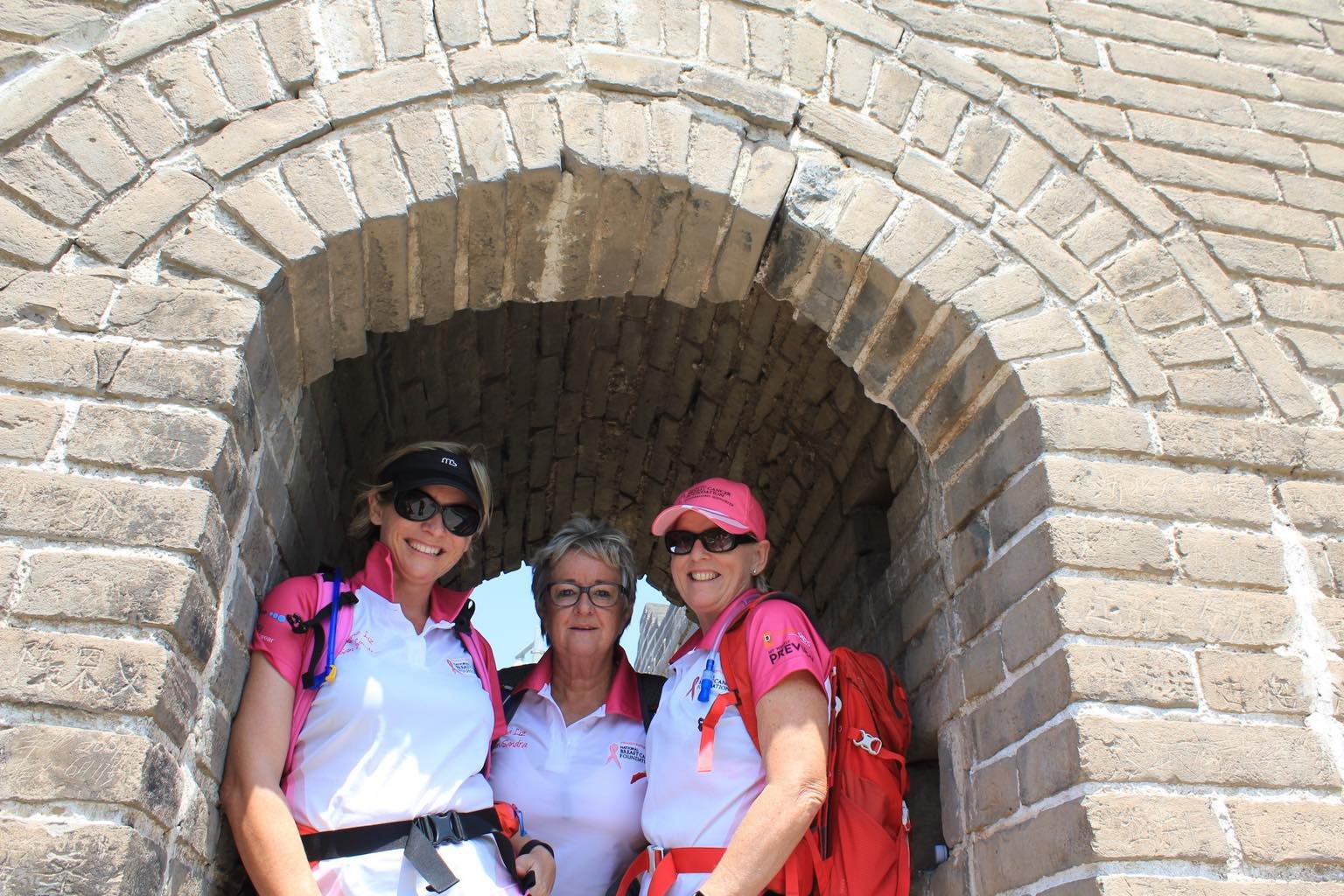
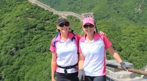
The Adventure Angels on The Great Wall of China.

After successfully completing their very first multi-day and international hike along The Great Wall of China, Liz and Di were exhilarated. However, on returning to Australia, they realised they had accomplished more than just a hike, they had created something so valuable in the hiking group, that they just couldn’t stop. 

“The momentum snowballed from there”, Liz says, “and in the months afterwards we were training and completing Coastrek 30- and 60-kilometre charity day-hikes all over Australia, from the Fleurieu Peninsula in Adelaide, the Mornington Peninsula in Victoria, to Bondi  and Palm Beach in Sydney”. Together the group hiked the 125km multi-day Cape to Cape Walk in  southern Western Australia - the highlight being able to combine hiking with incredible beaches, wine and food! 

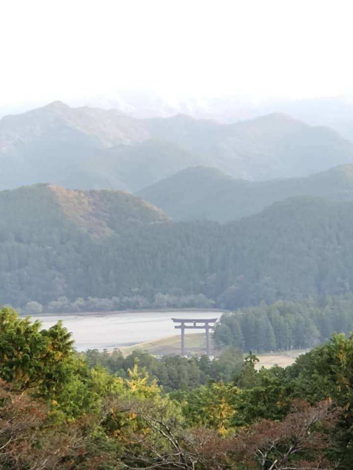
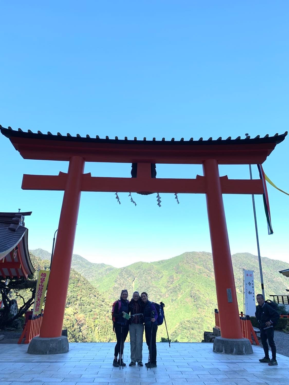
In late 2019, Liz, Di and I (Meg), walked the Kumano Kodo pilgrimage trail in Japan. Together they hiked the 4 day Nakahechi route from West to East across the Kii peninsula, with the highlight being the Kumano Hongu Taisha temple, deep in the middle of the peninsula. After so many hikes together, Liz and Di developed a post-hike recovery tradition of icy cold beer and hot chips. 

Highlight of the Kumano Kodo: The Kumano Nachi Shrine and Nachi Falls.

Liz and Di’s families and children are incredibly supportive of their new found love of adventure, and can see how hiking has changed their lives. Di recalls, “I’d never been exposed to much sport growing up, so I’m proud of myself at my age for doing what I’ve done physically and mentally, and on the back of that, also forging friendships I’ll have for life. Now, nothing is a barrier for me.”

The Adventure Angels group travelled to Western Australia to hike the Cape to Cape Track, a 123 kilometre trail along the Leeuwin-Naturaliste Ridge, between the lighthouses of Cape Naturaliste and Cape Leeuwin in the Margaret River region in the far south west of Western Australia.

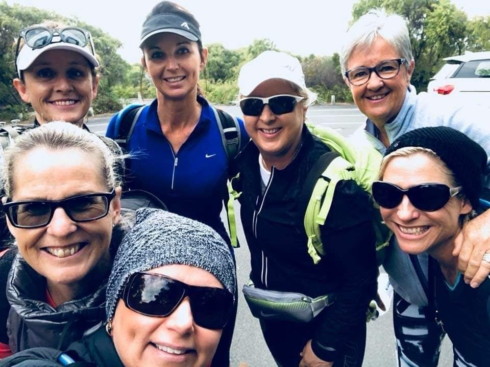
From two friends to a group of at least 6 women, The Adventure Angels have found support, fitness and friendship in their regular sunrise hikes. While the COVID pandemic and long lockdowns in Australia have made it difficult for the hiking group to get together in the last 18 months, Liz and Di are determined to keep the group hiking together as often as they can. 

With their sights set on Machu Picchu and the Via Alpina in Switzerland, The Adventure Angels are only just getting started. Together they are committed to hiking for as long as they can, both questioning: “Why didn’t we do this sooner?”


Author: Meg Appleby, Die Basler Wanderdamen hiking group
Meg always enjoyed being outside but an unexpected relocation from Australia to Switzerland plonked her in the outdoors equivalent of Mecca. Inspired by the über-fit Swiss she met on her day-hikes, Meg co-founded a hiking group and walked The Haute Route with the help of The Hiking Club. She lives to hike/snowshoe most weeks all over Switzerland and can’t think of a better pastime as she negotiates major mid-life changes.


WHO ARE WE?

The Hiking Club empowers anyone to walk the way they want in the wild with personalised self-guided hiking experiences that are easy to find, quick to plan and simple to navigate.

We believe hiking experiences have the power to transform lives. With a growing range of personalised hikes that take into account your preferences, fitness and interests, we give you everything you need to explore the legendary trails of the world!

Join our global hiking community!

Welcoming the New Year in Wallace Falls State Park

Cindy Scheyer is the winner of The Hiking Club competition that ran alongside our New Year’s Day Global Hike Event 2022. Cindy lives in Seattle, USA, and is an avid hiker. Cindy shares her new year’s hiking adventure to Wallace Falls State Park, a 5.6 mile / 9 km out and back hike with 1300 ft / 396 m elevation gain.


Discovery Park, Seattle on New Year’s Day.

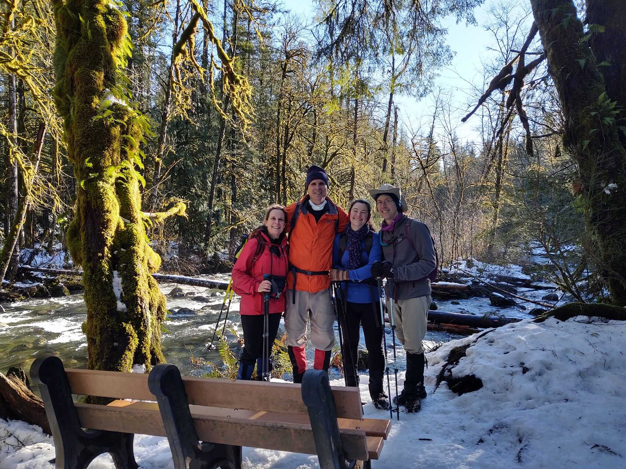
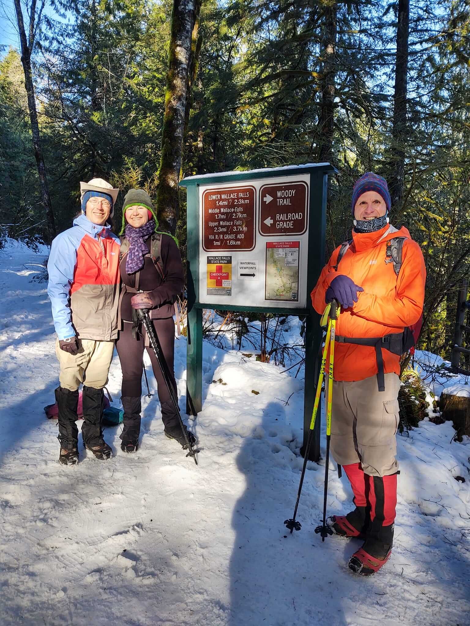
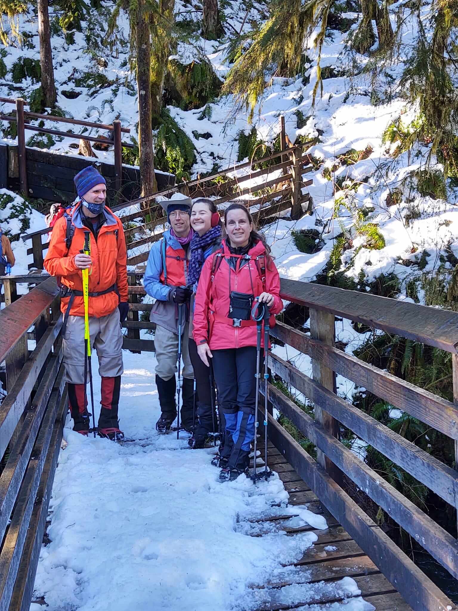
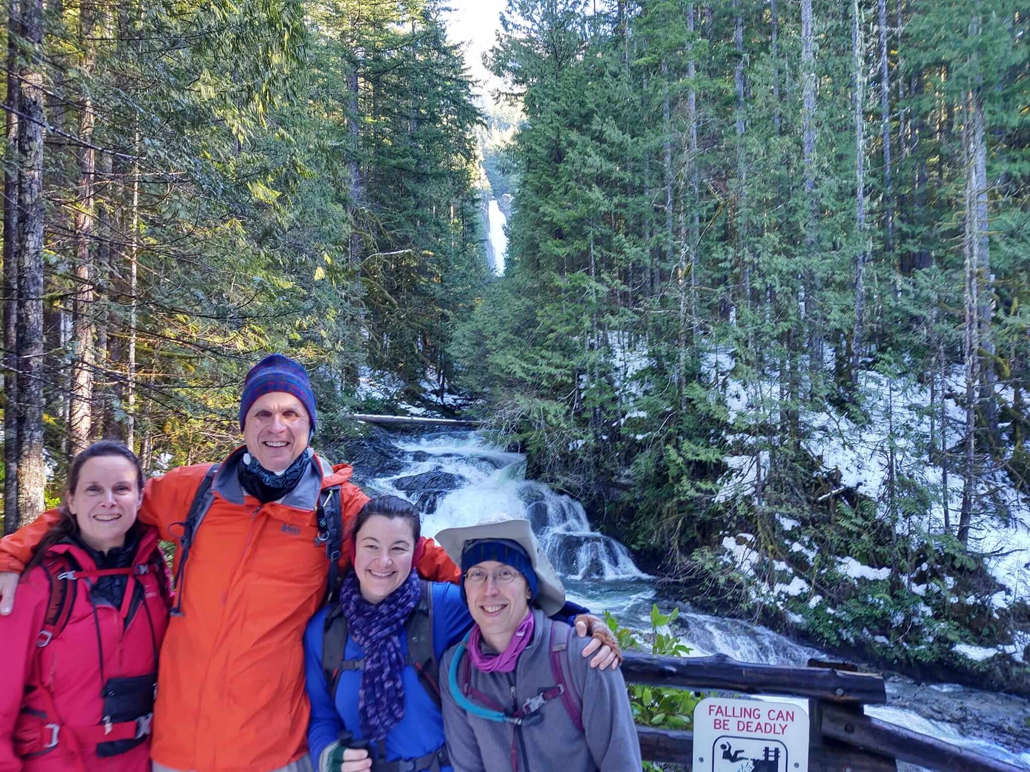
After stepping out on the right foot for a hike on New Year’s Day in Discovery Park, we opted for a longer hike to Wallace Falls the following weekend. I hiked with my partner, Bob Hamilton, and friends John and Koren.

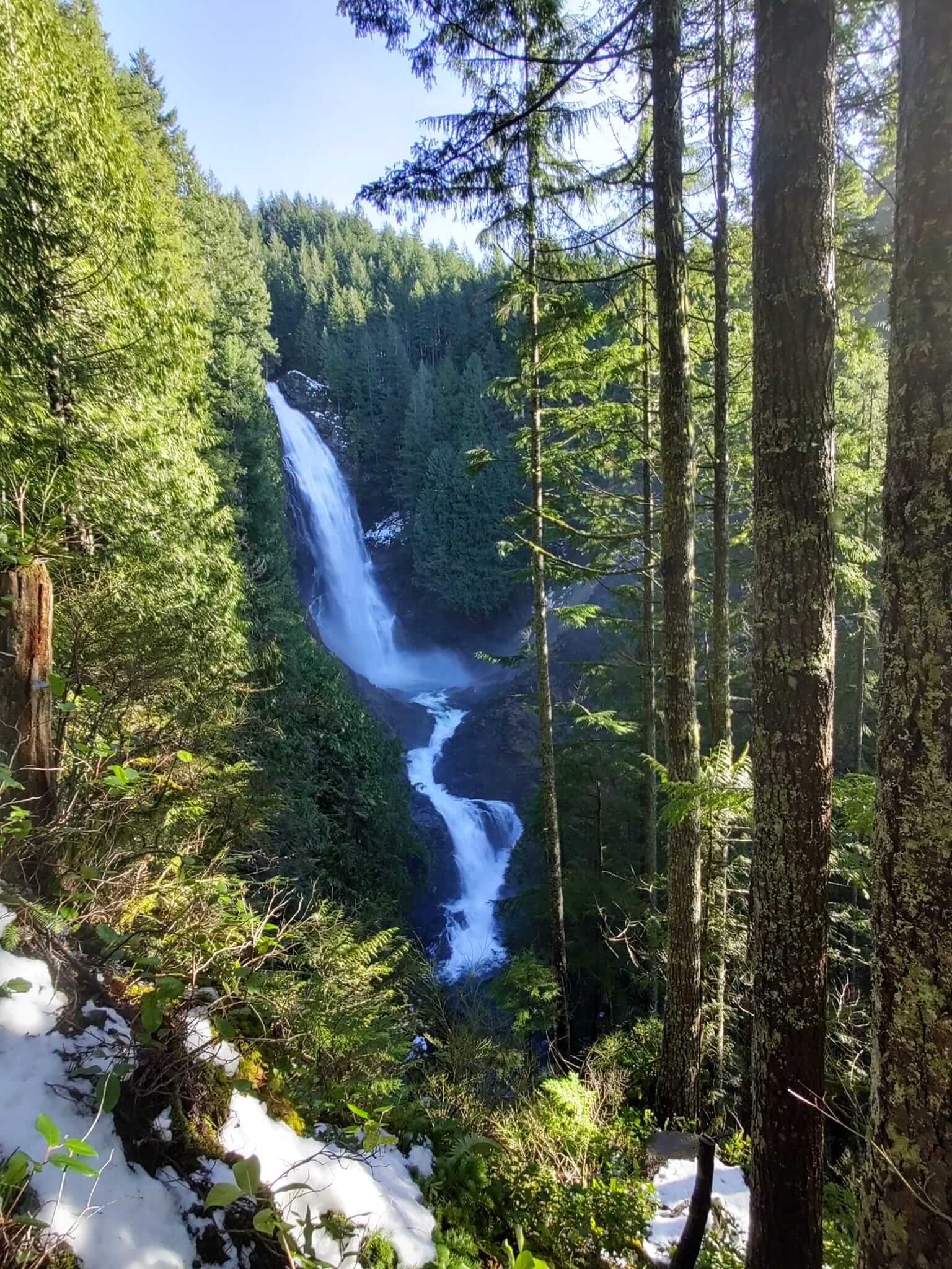
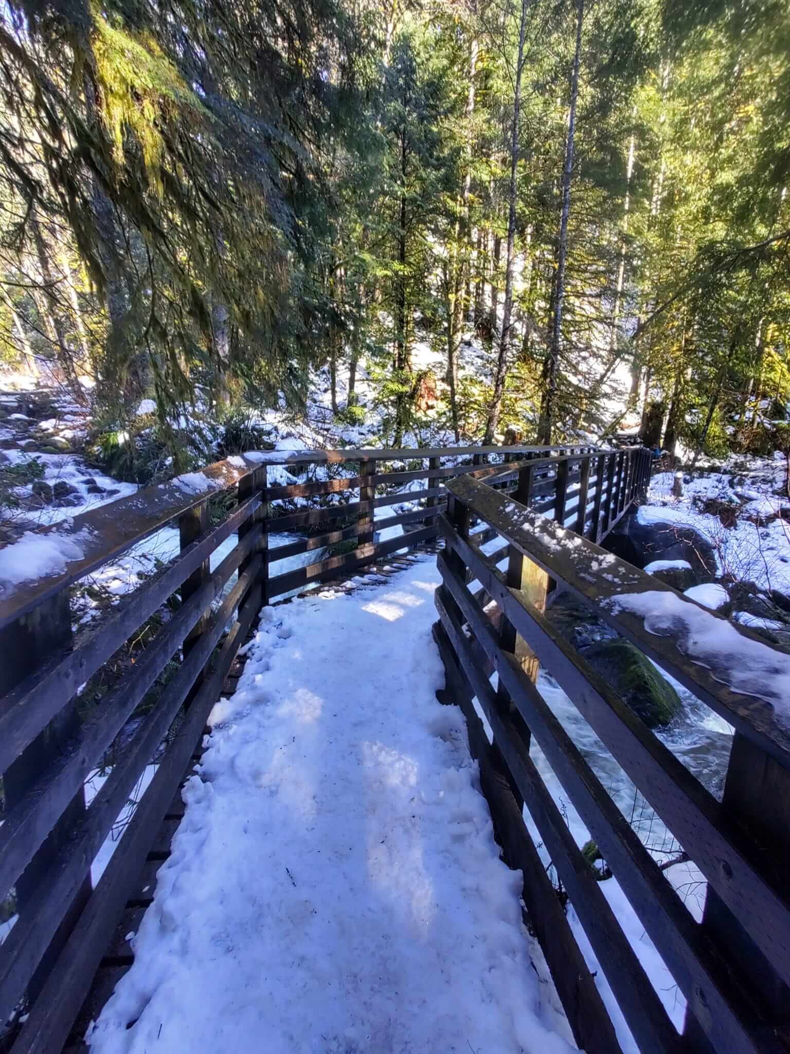
It was a sunny Sunday hike in the snow! After one week of sub-freezing temps and lots of snow, both unusual for Seattle, followed by another week of torrential, record-breaking rain, we were ready for a sunny day in nature! We chose the Wallace Falls hike, a pretty gentle trail, about a 5 mile (9 km) round trip with an elevation gain of 1300 feet (396 metres). You can read more details about the hike itself here.

The rain we had in Seattle translated into heavy snow in the mountains and caused the department of transportation to close all four of the major mountain passes in the state, literally cutting most people off from hiking and skiing in the mountains, and for good reason, since the avalanche danger was super high.

Wallace Falls is reached on the same highway which was closed over Stevens Pass due to slides, avalanches and 4 inch thick ice. Fortunately, the trailhead starts about 30 miles before the road closure. 

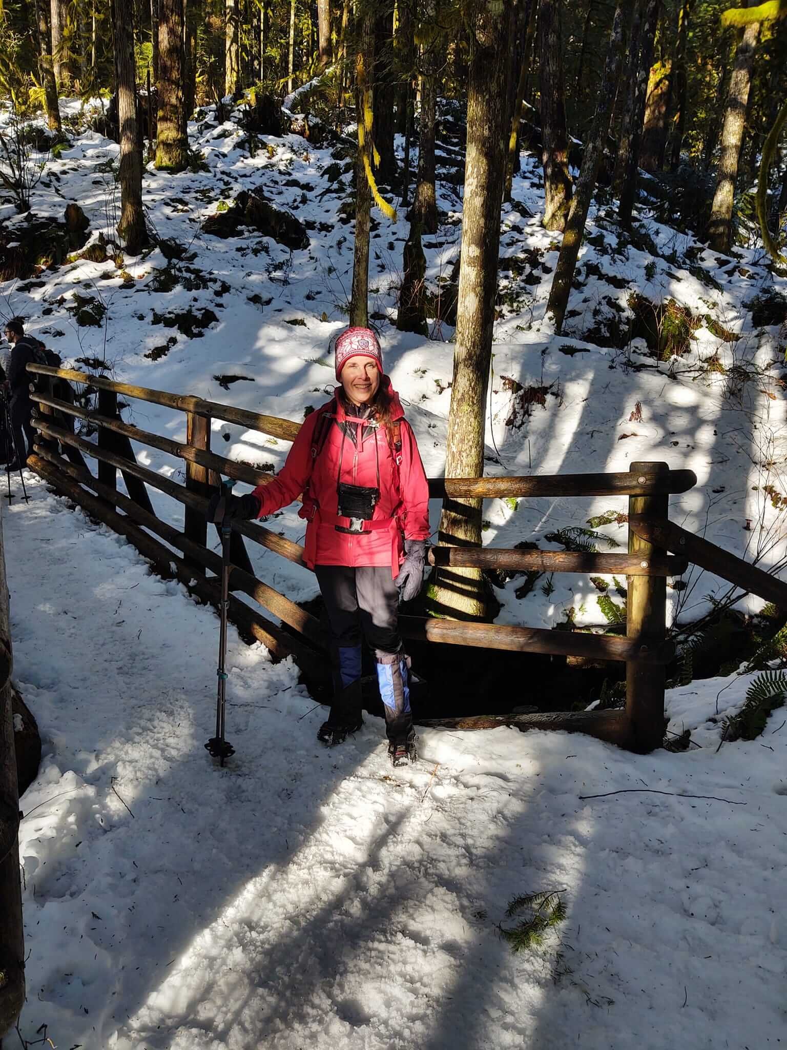
It was great to be outside with friends in the sunshine on a bluebird sky day! We weren’t the only ones escaping the indoors, as the trail was crowded with other like-minded hikers. We all wore microspikes anticipating the compact snow and ice on the trail although we noticed many other hikers didn’t and were having a hard time coming down the trail. 

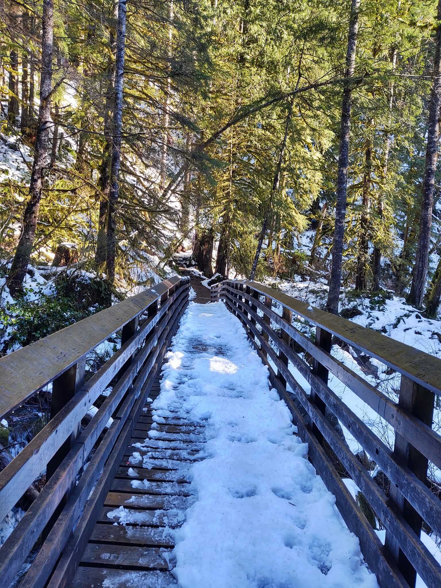
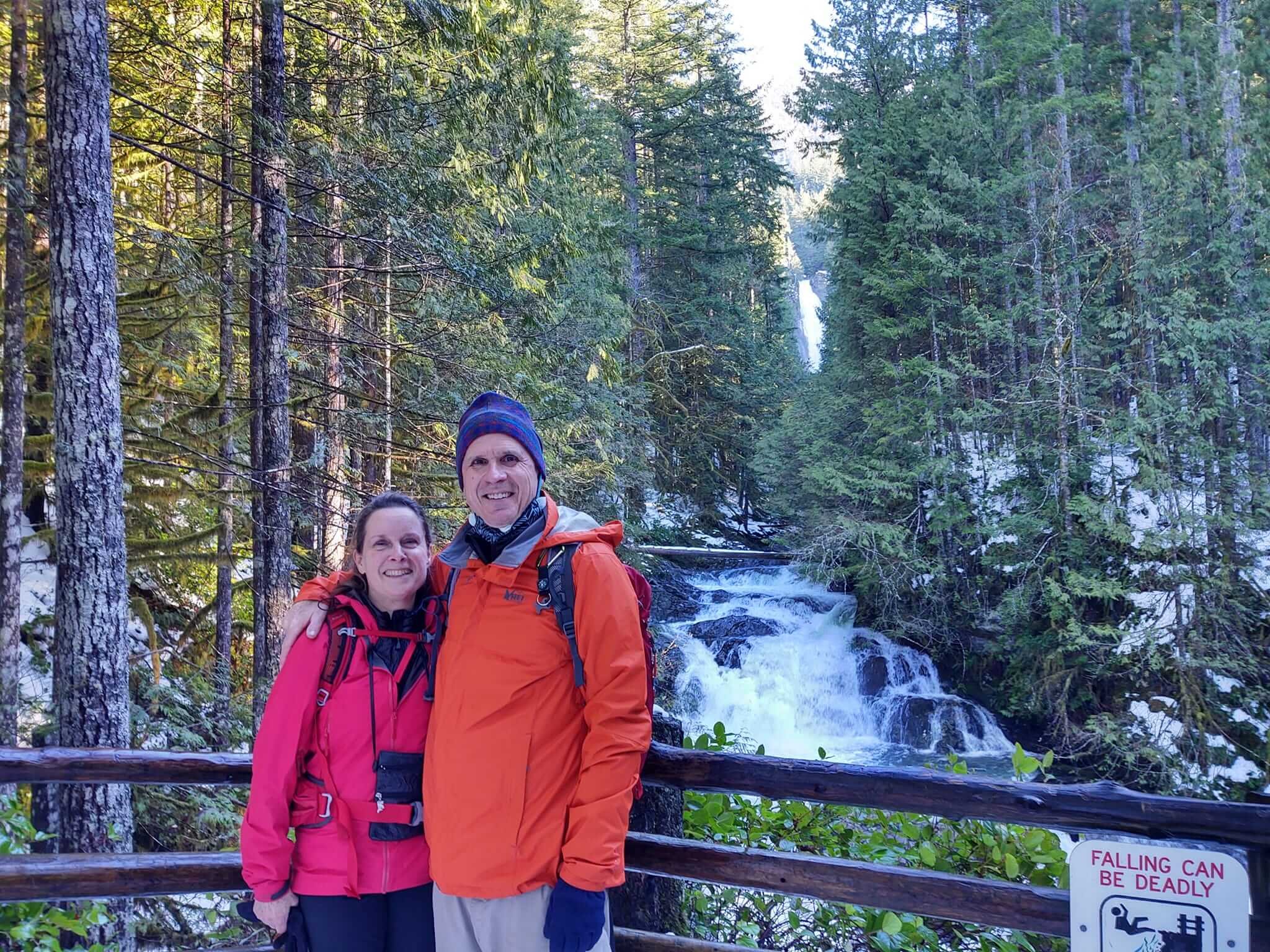
The hike is through a heavily wooded area with gorgeous views of the multiple falls from scenic wood bridges and along the way. As it’s a state park, the trail is well-maintained. The views of Middle Falls are especially stunning!  Eating lunch with the sound of the falls nearby was just about perfect.

While we love moments like these on the local trail, Bob and I are looking forward to more international hiking trips in the Swiss and French Alps, Austria, Norway and Machu Picchu. Our bucket list of hikes is pretty long! 

We hiked the Walker’s Haute Route in September 2019 following The Hiking Club’s self-guided program, which was wonderful, and we had planned to do it again in 2020, but our plans were disrupted with the pandemic. In the meantime, we’ve been staying busy hiking in the Cascade Mountains in Washington and Oregon states, the Tetons in Wyoming and hikes near Moab, Utah in the La Sal mountains in Manti-La Sal National Forest. If European hiking isn’t open (or easier to access) in the summer of 2022, we will continue to keep our hiking adventures local and hope to hike in Glacier National Park in Montana, and maybe the Sunshine Coast of British Columbia in Canada.

I just love The Hiking Club community! It's so motivational and inspirational to see everyone's photos and read about your adventures. Wishing you all a wonderful year of hiking!

— Cindy S.

All photos by Cindy Scheyer.


WHO ARE WE?

The Hiking Club empowers anyone to walk the way they want in the wild with personalised self-guided hiking experiences that are easy to find, quick to plan and simple to navigate.

We believe hiking experiences have the power to transform lives. With a growing range of personalised hikes that take into account your preferences, fitness and interests, we give you everything you need to explore the legendary trails of the world!
Join our global hiking community!

Embracing the weather on the Kesch Trek

Pieter Boddaert from the Netherlands confronts his expectations and disappointment while hiking along the Kesch Trek, a 36.1 mile / 58 km point-to-point trail located near Davos, Graubünden, Switzerland.


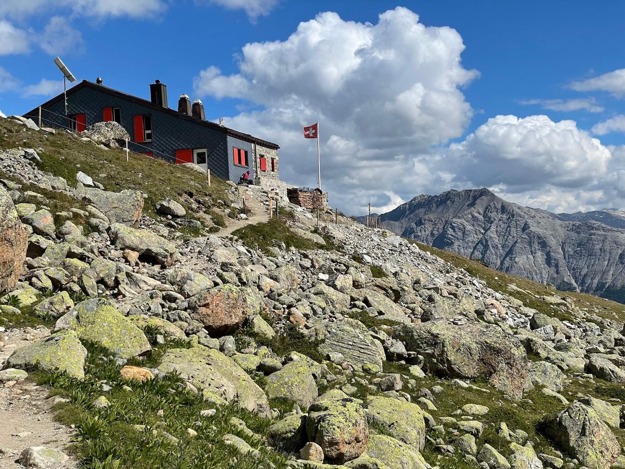
Last summer I did a twelve day thru hike in the Swiss Alps. The backbone of this hike was the Kesch Trek, a classic four day hike that runs in the canton of Graubünden. It starts at the Flüela Pass and ends in the charming village of Bergün.

I visited Bergün as a young boy during a family holiday. When my father invited me to hike to the Kesch Hütte together with my brother, I declined. I preferred to spend my day reading comics at the Bergün swimming pool. When I grew up and became an avid hiker, I always regretted that decision.

Now that I finally hiked the Kesch Trek, I met quite a few challenges. The first mountain hut on the trail, the Grialetsch Hütte, was closed for the season, which forced me to hike the trail in three instead of four days. Moreover, right at the start I discovered my water filter failed (which meant limited water), and I wounded my right foot in a clumsy way. However, my greatest challenge was how to deal with the bad weather.

Kesch Trek: Flüela Hospiz with the Schwarzhorn. Photo: Pieter Boddaert

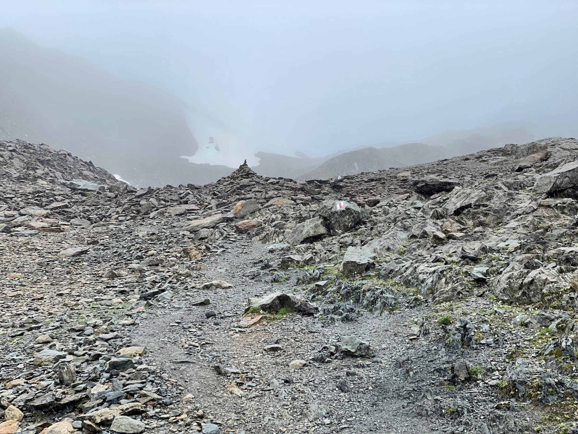
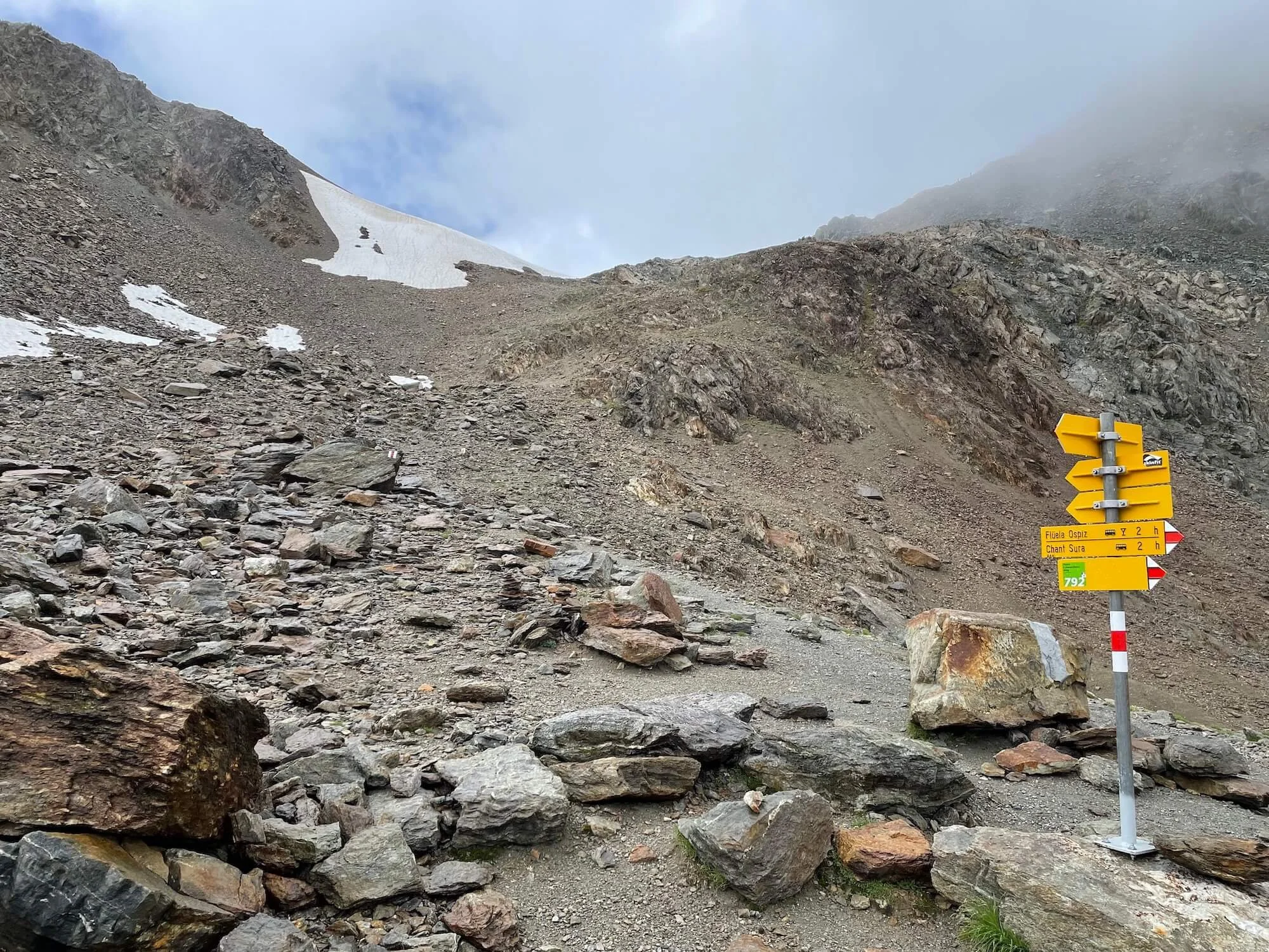
I woke up at the Flüela Hospiz in a dense fog that blocked all views of the mountains. Especially the Flüela Schwarzhorn, which I planned to summit that day, was entirely invisible. It was still misty when I left the Hospiz for the trailhead on the other side of the pass. Ascending into the mountains towards the Schwarzhorn, herds of curious sheep on the trail seemed to be questioning me with their tilted heads: what are you supposed to do here? A good question indeed, because most of the time I could not see more than fifty meters in front of me. And when the mist cleared, snow and hail started to fall from the dark sky. I began to doubt my plan to climb the Schwarzhorn summit. 

From the trail crossing to the Schwarzhorn, the summit would take about two hours up and down. The mountain was enclosed in a thick fog, its summit invisible. I sat down on a slab of rock, disappointed by the fog obstructing all views, just like the day before. Would it be worth the effort, knowing that I wouldn’t see a thing up there? Why waste two hours of hiking in the mist, I wondered. What finally made me push on, was the idea that reaching a 3,000 meter summit would be a personal record.

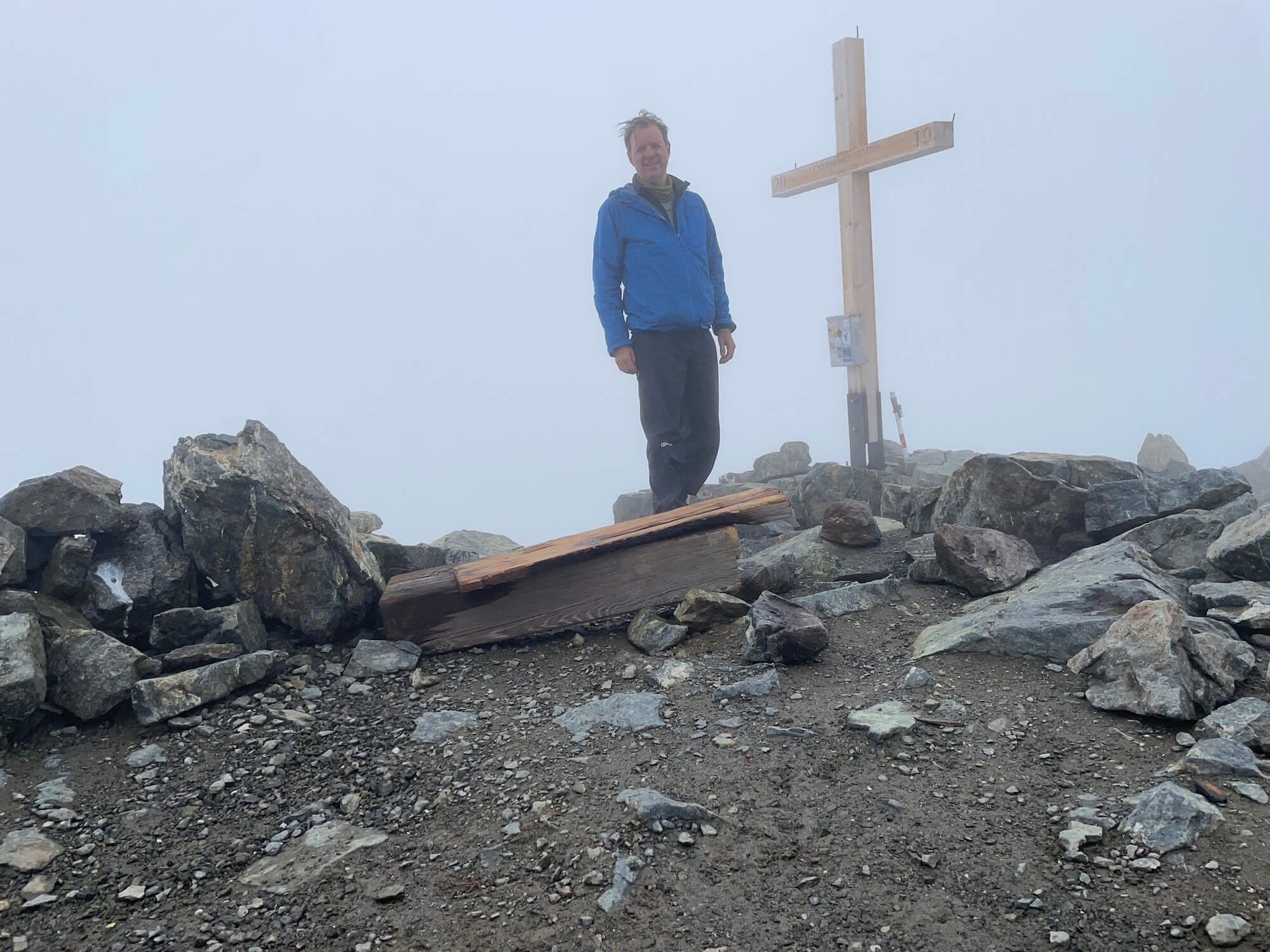
But it was hard. I followed a steep and rough trail up to the snowfields and further along a narrow ridge. I walked deeper and deeper into the mist until I really couldn’t see more than two meters in front of me. The sharp rocks to my left and right acted as a fence between me and an unfathomable depth. Then, after an hour of climbing, a pale wooden cross loomed in front of me: I had reached the summit. 

Now I was completely contained by the white fog. I would not have been able to tell whether I were on a summit or in a deep cave, if not for the cross with “3147 m” carved in the wood. It was cold, wet and I felt disappointed. I had hoped that the sky would clear, and that I would be granted an epic view from the summit.

I sat down, thinking about my situation. About the clouds, the mountains and the rain. I began to realize that all were part of a greater natural system. The water that I love so much when it streams in a wild mountain brook; the water I swim in on a hot day; or the water I drink from a clear stream – all this water comes from the clouds, the rain and the snow. This never ending cycle of raining, streaming and evaporation is what has shaped the mountains, what gave life to all beauty in the Alps. I decided to embrace the fog, to be thankful for the silence up here at the summit, and to appreciate the mysterious lightness of the clouds so close to me.

Looking back from the Scaletta pass to the Schwarzhorn. Photo: Pieter Boddaert

I left the Schwarzhorn summit and descended back to the trail crossing, where I saw two other hikers going up. Just like me they persisted in their effort, despite the thick clouds above. 

Then the sky cleared. In front of me emerged a massive field of scree. A faint line crossed the grey mass,  the trail to the next pass.

Kesch Trek day 2: at the Kesch Hütte. Photo: Pieter Boddaert

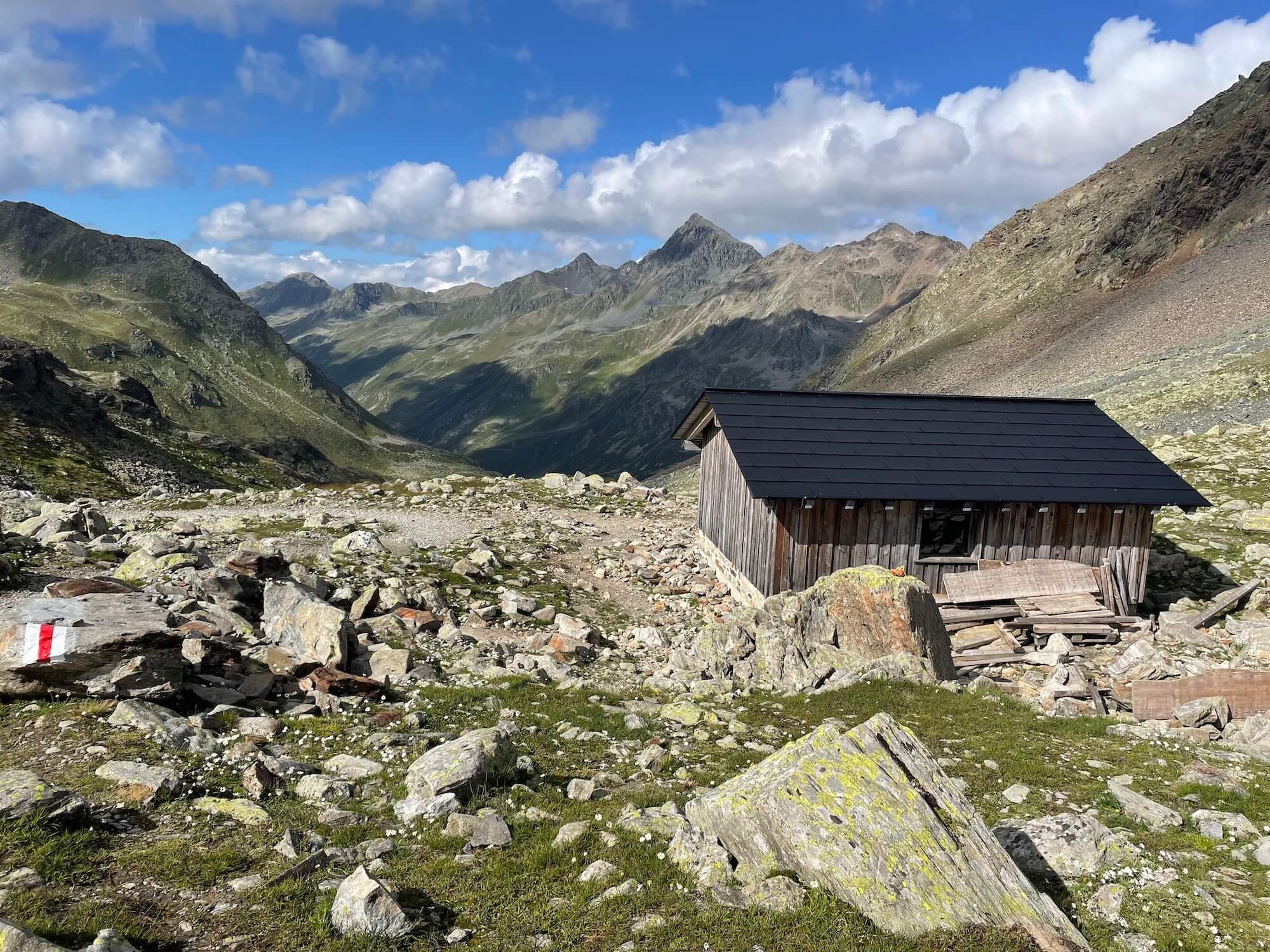
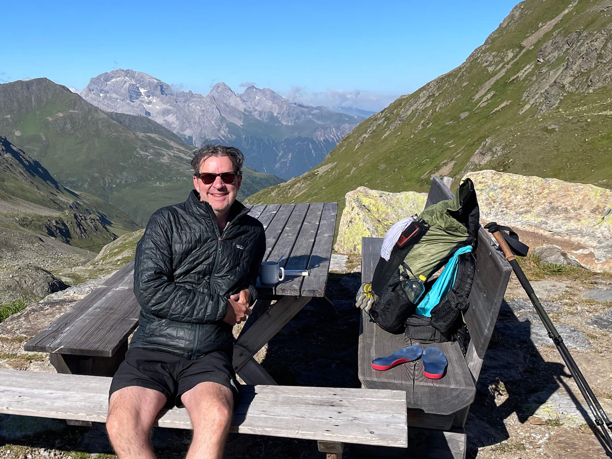
I hiked on, passing the closed Grialetsch Hütte, all the way to the shelter at the Scaletta pass, where I drank unfiltered water from a stream below it. The next day I hiked to the Kesch Hütte, followed by a gruesome climb up the Pischa pass. Finally I arrived at the wonderful Chamanna d’Es-cha, where I drank one liter of Shorley apple cider. The third day brought a dense fog in the morning once again, but the trail was comparatively easy: a more than 1,000 meter descent to the village of Bergün.

 The Kesch Trek was amazing and spectacular. Looking back, the ascent of the foggy Schwarzhorn had been one of the highlights. I had finally learned that in the Alps, bad weather days can be just as sublime as those lazy days by the swimming pool.


Author: Pieter Boddaert
Pieter lives in The Netherlands, a very flat country with a surprising number of mountain enthusiasts. Pieter has thru hiked among others the Tour du Mont Blanc and the Haute Route in the Alps. In the USA he hiked in Utah, Arizona and in California, where he hiked the SEKI loop. In daily life Pieter works as an independent editor and graphic designer.

Blog: overseashiker.com | Instagram: @overseashiker


WHO ARE WE?

The Hiking Club empowers anyone to walk the way they want in the wild with personalised self-guided hiking experiences that are easy to find, quick to plan and simple to navigate.

We believe hiking experiences have the power to transform lives. With a growing range of personalised hikes that take into account your preferences, fitness and interests, we give you everything you need to explore the legendary trails of the world!
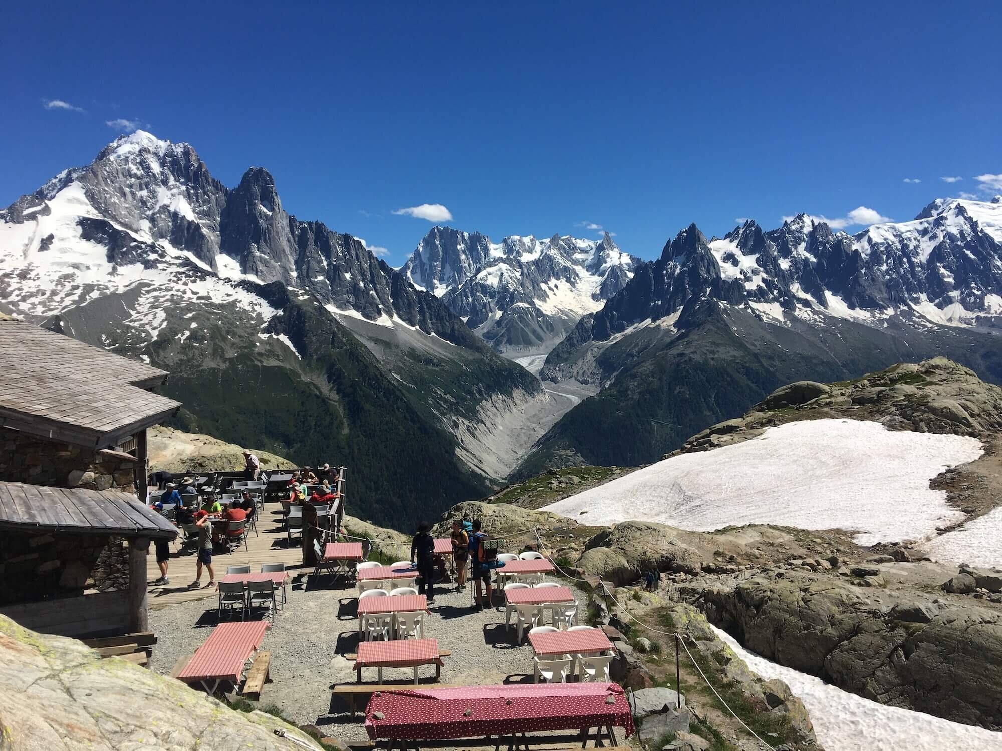
Hiking around the world: Mount Rainier National Park

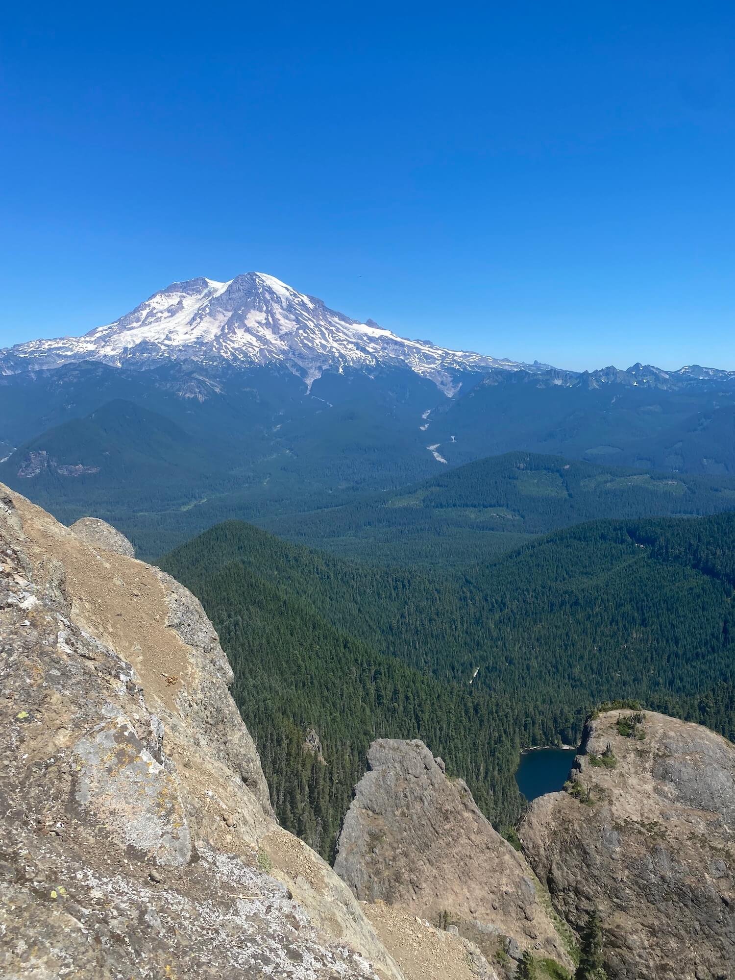
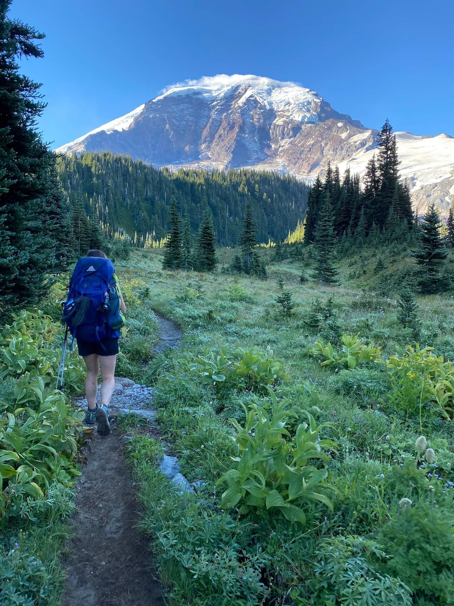
Views of Mt Rainier from the Wonderland trail. Photo: Sam Goldklang

Mount Rainier is a 14,410 ft (4392 m) active volcano that dominates the sky in Washington state, US. When locals ask, “Is the mountain out?” they’re always talking about if you can see Mount Rainier while walking around Seattle, from the summit of another peak in the Cascades, or driving south on i90. This peak was known to Native American tribes as Tahoma, which translates to the source of nourishment from the many streams coming from the slopes, or the “white mountain”. 

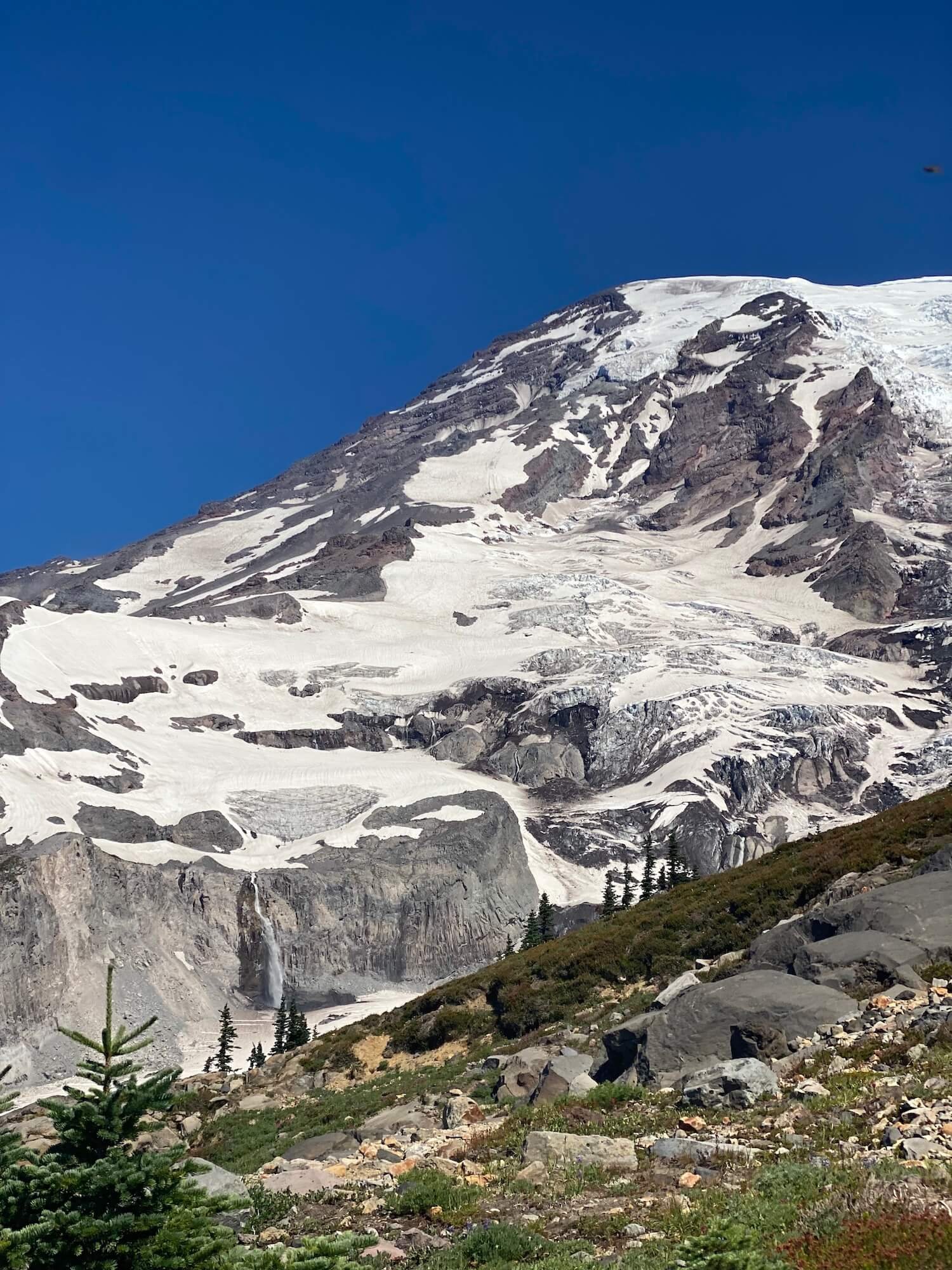
Mount Rainier is the most glaciated peak in the contiguous U.S.A., with 25 major glaciers. Under all the ice and snow is an active volcano. It is the definition of a world of ice and fire. The volcanic activity began one half to one million years ago with the last small explosion occurring about 125 years ago. Mount Rainier is predicted to blow its top sometime in our lifetime…hopefully not any time soon!

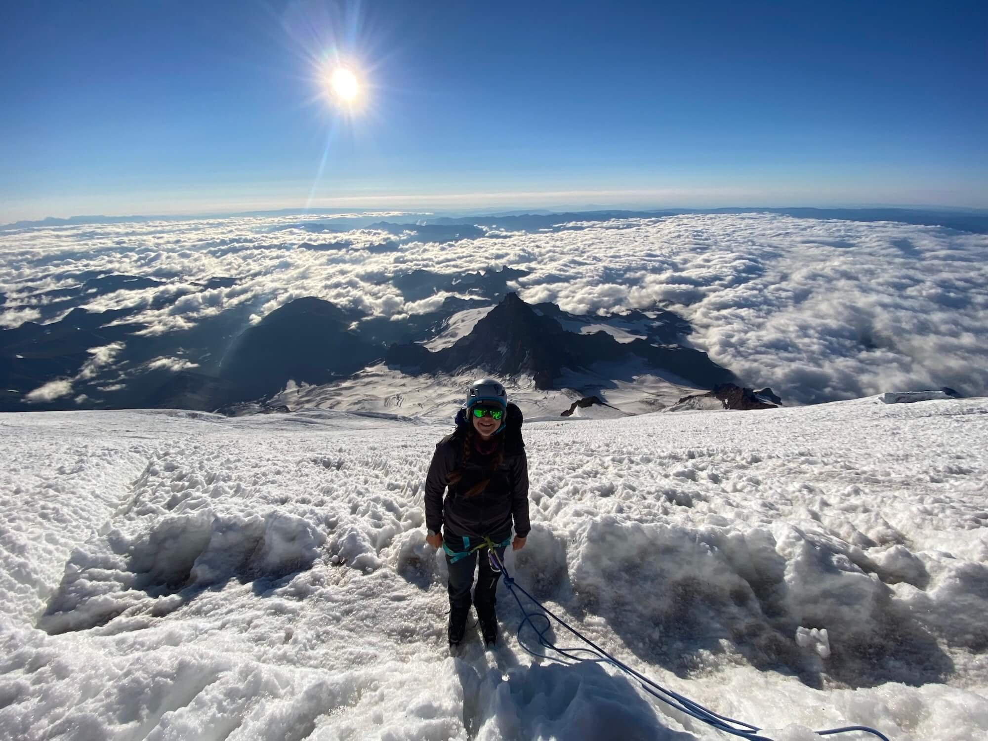
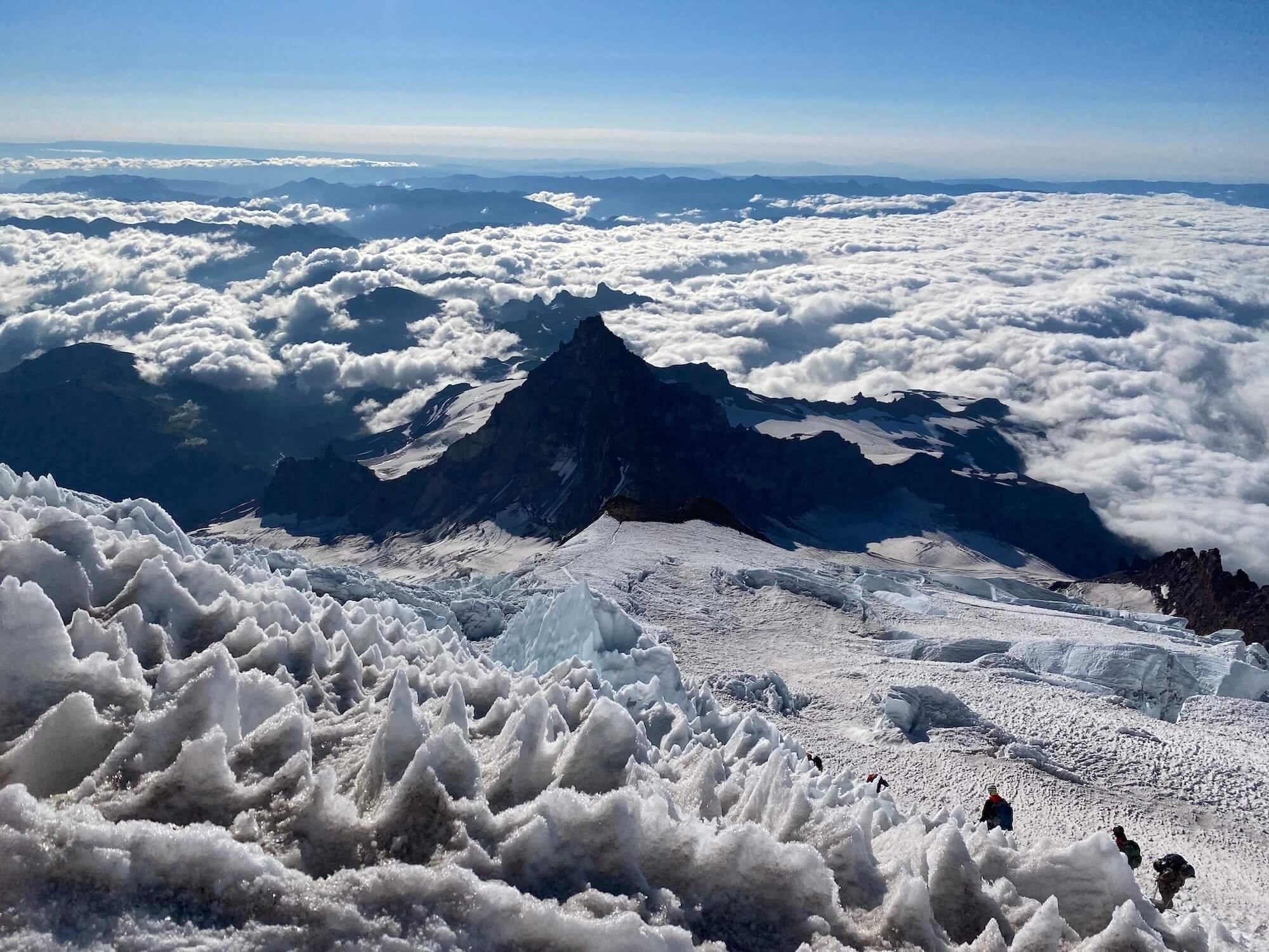
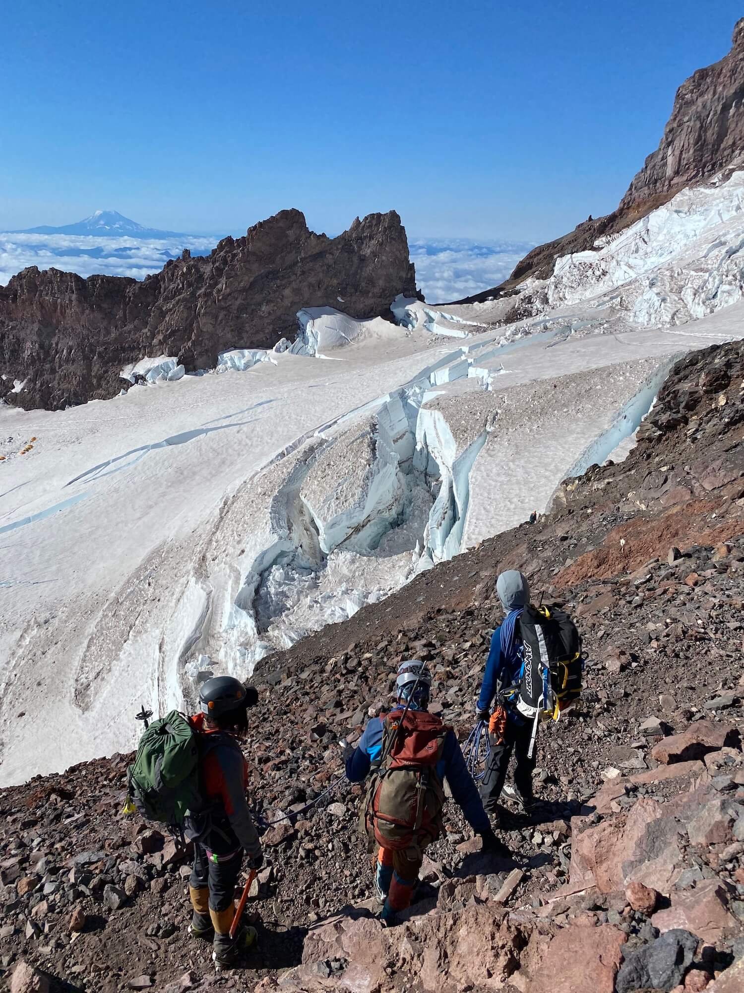
The view on the way to the Mt Rainier summit. Photo: Sam Goldklang

Mount Rainier is a nature lover’s paradise with endless trails, over 200 species of wildlife, awe-inspiring views, rushing rivers, towering glaciers, and beautiful wildflowers in the summer. Activities are endless including day-hiking, mountaineering, backpacking, through hiking, snow shoeing, and in bound and backcountry skiing.

Mount Rainier National Park is a bucket list destination for hikers. If you’re thinking about a trip to this national park here are a few reasons to take the plunge…

Day Hiking 

There’s over 200 miles (321 km) of trails of varying distance and elevation for all ability levels. Here is a few of the highlights with top notch views: 

Mt Rainier from the Burroughs at sunrise. Photo: Sam Goldklang

Volcano views in the distance. Photo: Sam Goldklang

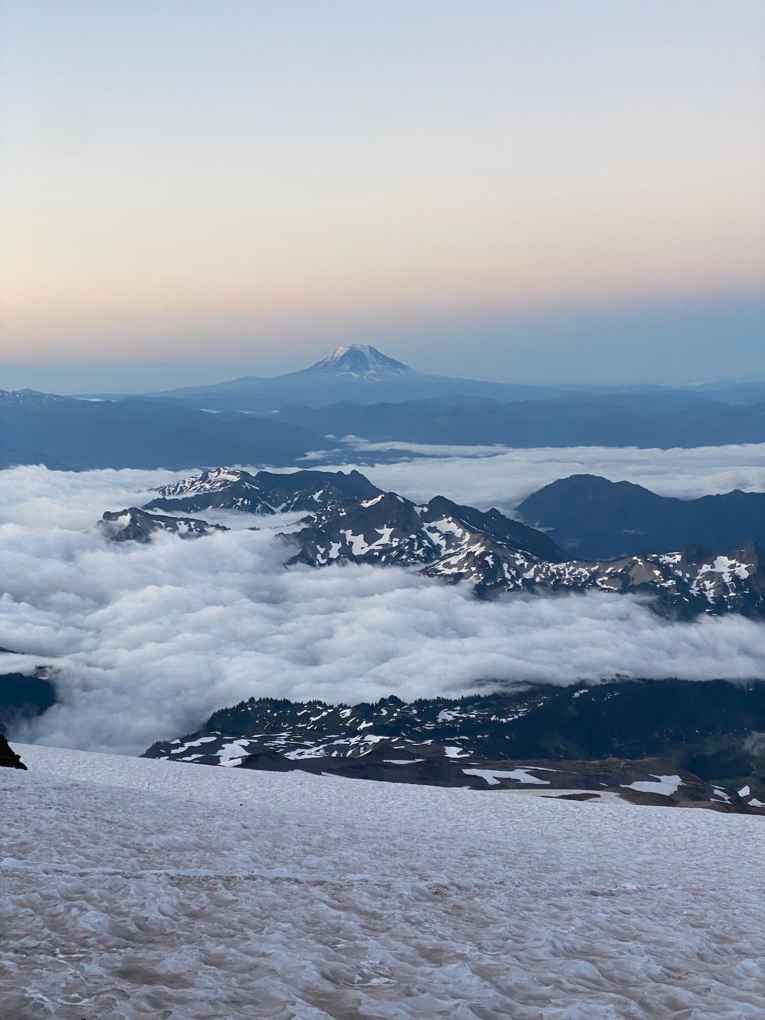
Skyline trail to Panorama point: 5.4 mile loop with 1700 ft elevation gain (8.7km, 518m). This hike is located in the Paradise area of Mount Rainier National Park and truly lives up to its name: wildflowers galore and views of Mount Rainier, Mount Adams, Mount Saint Helens, and Mount Hood on a clear day.

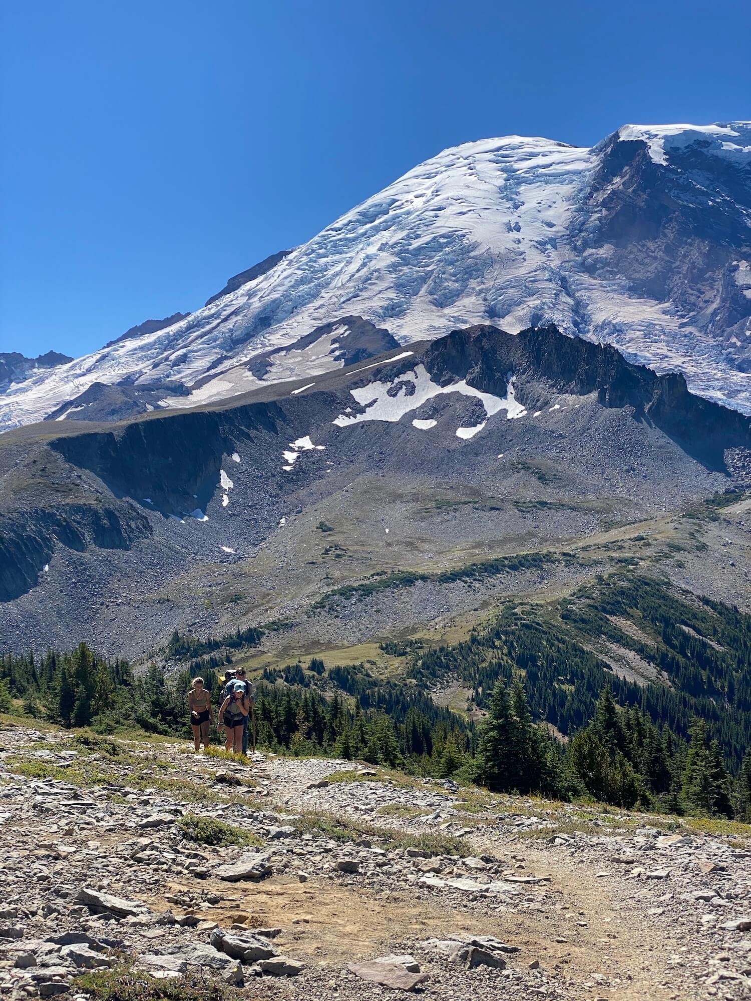
Burroughs Mountain trail: This hike follows a series of 3 burroughs (peaks) in the Sunrise area of Mount Rainier and puts you face to face with the mountain. You can go out and back to the first or second burrough or do a 9.4 mile (15km) loop to hit all 3 with 2562 feet (780m) of elevation gain with a high point of over 7800 ft (2377m). Hike it at sunrise to watch the mountain glow pink! 

There are 4 historic fire lookouts, structures built to watch over millions of acres of forests, in Mount Rainier National Park. Two of the most popular are: 

  • Mount Fremont lookout: This hike is also located in the Sunrise area and is 5.6 miles round trip with 900 ft of elevation gain (9km, 274m).

  • Tolmie Peak Fire lookout: 6.5 miles and 1010 ft of elevation gain (10.5km, 308m). This is named after Dr. William Tolmie who sailed to Fort Vancouver from London. After he saw “The Mountain”, he was entranced and had to take a trip to collect herbs to make medicine. It is located in the Mowich Lake area of Mount Rainier.


Multi-day Hiking

Mount Rainier National Park became the fifth national park in the United States in 1899. One of the best ways to experience the diversity of the area is with a multi-day hike. The prime hiking season to explore Mount Rainier is between late July and into September, when high-mountain trails are free of snow. 

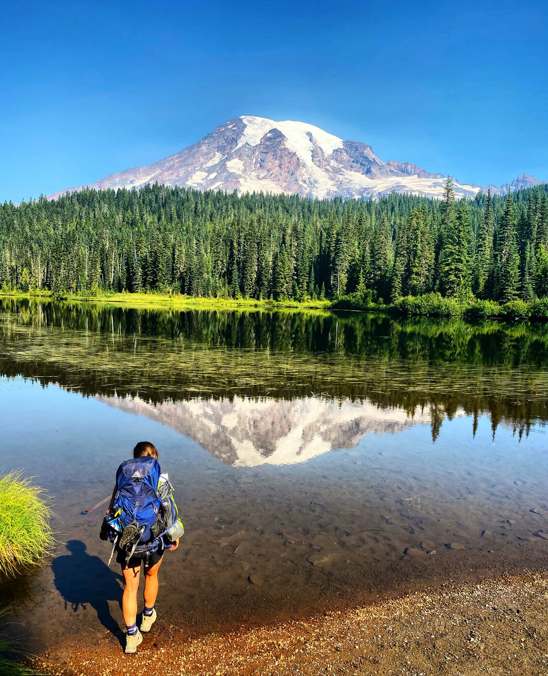
Reflection lakes, Mt Rainier National Park. Photo: Sam Goldklang

  • The Wonderland Trail: - a 93 mile (150km) loop circumnavigating Mt Rainier where you get up close and personal with this beautiful volcano from all angles. Wonder is an understatement. The fastest known time to complete the trail is 16 hours 40 minutes 55 seconds, but most people complete the trail in 8-13 days. Permits are required for backcountry campsites but snagging them is like finding the golden ticket. 

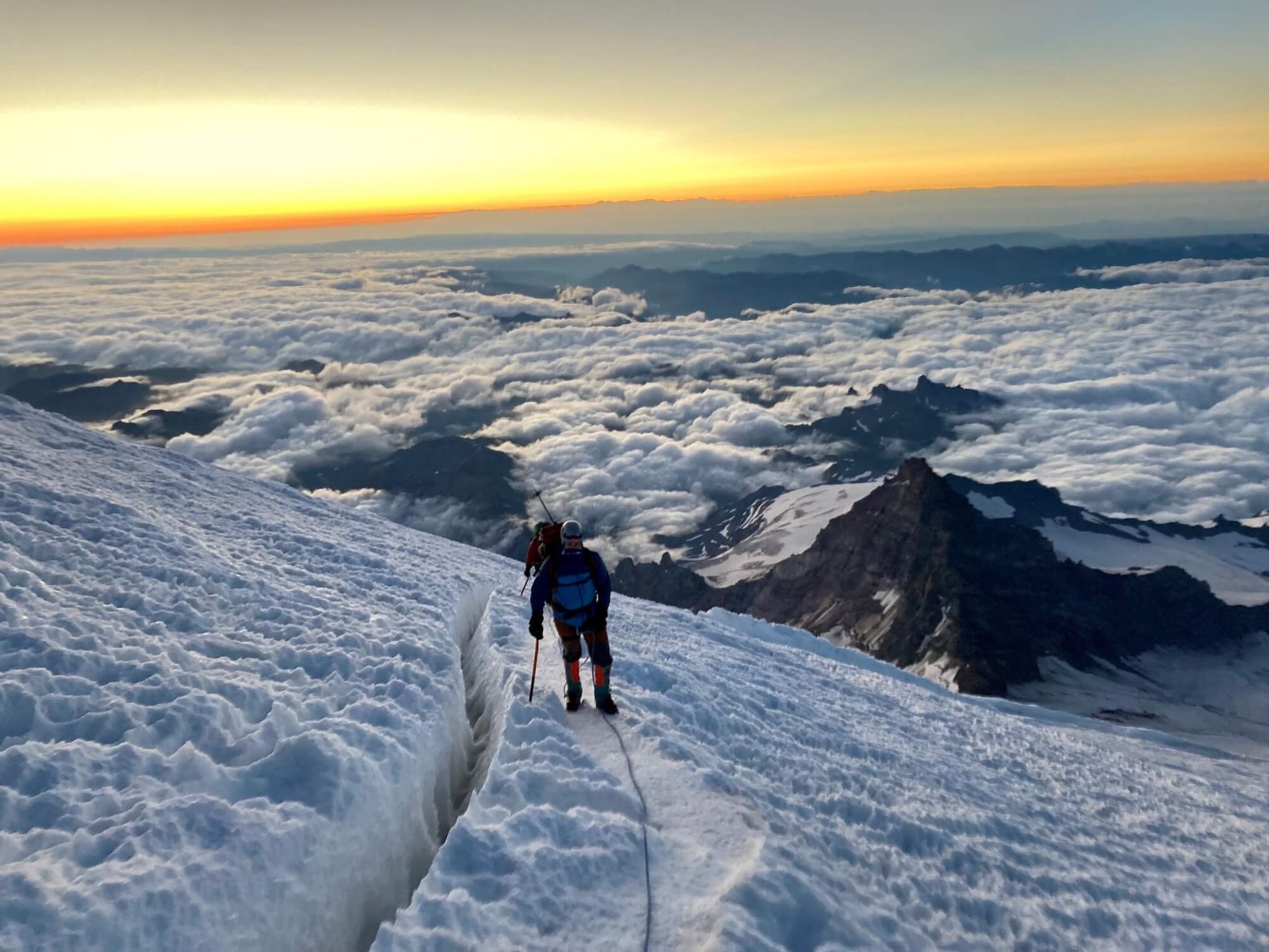
  • Mount Rainier summit: climb to stand on the 5th highest peak and tallest volcano in the lower 48 states. There are various routes to climb and/or ski this volcano but there is at least 9000 ft (2743 m) of elevation gain in the shortest approach and technical mountaineering gear and rope skills are necessary. You can climb it guided or if you have the necessary training and preparation you can get permits (necessary above 10,000 ft / 3048m) to climb it as an independent team. Some people climb this beast in a single day while others spend 1-2 nights on the mountain to acclimate, break up the climb, and watch the sunrise from up high. 

Nearing the summit at sunrise. Photo: Sam Goldklang

  • Camp Muir: Sitting at 10,188 ft (3105m), Camp Muir is the highest you can climb on Mount Rainier without a permit. This climb is mostly snow covered year round and may require crampons and an ice axe, microspikes, or climbing skins and skis. The views of distant volcanoes and mountain peaks are breathtaking.

    Camp Muir is a popular destination on its own or a stop on the way to the summit.You can tent camp on the glacier but there is also a guide hut and a climbers hut. During John Muir’s 1888 summit of Mount Rainier, he had suggested the area as a good place to camp due to the false belief that it would provide shelter from the wind. It was then named “cloud camp” and later renamed Camp Muir. (Read John Muir’s essay documenting his 1888 ascent of Mount Rainier here.)

There are many ways to enjoy the grandeur of Mount Rainier National Park. Whether it be a casual walk through the park to see the wildflowers, a longer day hike to a find a look out or close up view of the queen, an overnight backpacking trip to soak it all in, or a lifetime goal of a summit push, a trip to this National Park will amaze and inspire you.


Author: Sam Goldklang, USA

Sam is an everyday adventurer who resides in Washington State, USA. She has completed the Wonderland trail and summitted the 5 tallest peaks in the lower 48 states, including Mt Rainier. Sam has hiked around the world with some of her notable trails being: the Tour Du Mont Blanc in the Alps, The Kepler and Routeburn tracks in New Zealand, the Salkantay Trek in Peru, the Mt Toubkal trek through the Atlas Mountains in Morocco, The Fisherman's trail in Portugal, and Trolltunga in Norway. Sam spends her days working as a Pediatric Nurse Practitioner and on the weekends she'll be hiking, camping, trail running, backpacking, or skiing around the Pacific Northwest. Follow her adventures on instagram: @sgoldk


WHO ARE WE?

The Hiking Club empowers anyone to walk the way they want in the wild with personalised self-guided hiking experiences that are easy to find, quick to plan and simple to navigate.

We believe hiking experiences have the power to transform lives. With a growing range of personalised hikes that take into account your preferences, fitness and interests, we give you everything you need to explore the legendary trails of the world!

Hiking Around Sydney, Australia

While more famously known for its beaches, harbour and architectural icons, Sydney also has a rich history and culture of hiking. Due to the proximity and protection of several heritage listed national parks, Sydney is on the doorstep of a vast network of accessible and diverse hiking trails or ‘bushwalks’ as they are locally known.

Australia has thousands of national parks and conservation reserves, with over 880 protected areas in Sydney and New South Wales alone. They serve to protect the diversity of Australian native landscapes, including everything from deserts to rainforests, coastal ecosystems and eucalypt woodlands, and are filled with hundreds of hiking trails and adventure activities. 

The national parks around Sydney are places of conservation and protection for the unique native plants and wildlife that inhabit them. However, many of Sydney’s national parks were originally designated as places for walking, recreation and leisure. 

The Coastal Track, Royal National Park, south of Sydney

The concept of national parks in Australia hailed from England’s royalty who set aside large areas of land for their own recreational pursuits. In the 19th century, Australia, as a relatively new country, had a rapidly expanding colony in Sydney that was surrounded by untouched bushland that was perfect for the entertainment of its growing population.

The world’s second oldest national park

To encourage its city dwelling inhabitants to experience the health benefits of nature, Sydney established the world’s second oldest national park in 1879, aptly named, National Park (Yellowstone in the US was the first, established in 1872). In 1955 the park was renamed The Royal National Park after Queen Elizabeth II passed through on the train to Wollongong during her 1954 tour of Australia. In true Aussie fashion, it is sometimes locally referred to as the ‘Nasho’.

The Coastal Track, The Royal National Park, south of Sydney

The Royal National Park covers 15,000 hectares along Sydney’s south east coastline from the Port Hacking River (near Cronulla) down to the southern tip at Otford. Its many hiking trails provide access to panoramic views from coastal cliffs, secluded beaches, rock shelves and rock pools, rainforests and valley creeks, mudflats and salt marsh, and a heathland of salt-tolerant scrub. 

When the train lines were built to access the Royal National Park, visitation grew from 38,000 in 1892 to 170,000 in 1903. Just seven years later, annual visitor numbers had reached 250,000 (National Museum Australia). Within this growing number of people who appreciated the Australian bush in its untouched glory was Myles Dunphy (1891–1985).

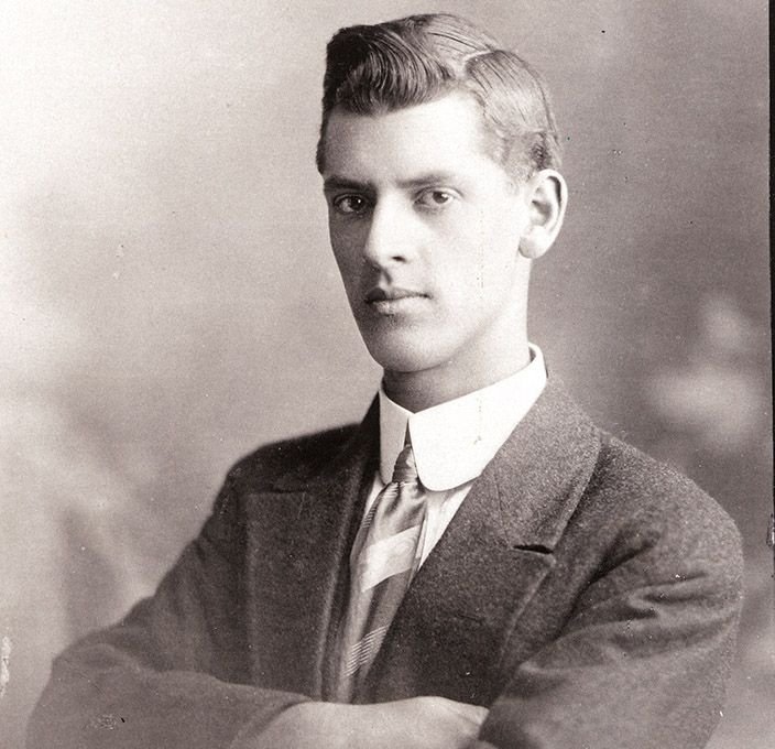
A passionate hiker, Dunphy founded Sydney’s first hiking club, The Sydney Bush Walkers and in doing so coined the term “bushwalking”, a word that is now synonymous with hiking in Australia. See these early photographs recently acquired by The State Library of the early expeditions and members of the Sydney Bush Walkers Club from the 1920s and 30s.

Myles Dunphy. Photo: Colong Foundation, NSW Teachers Federation.

Dunphy is considered one of Australia’s earliest campaigners for environmental conservation and believed the preservation of nature was crucial for the wellbeing of modern society. He had a vision for protecting the land from development for current and future generations (NSW Teachers Federation) and led the “bushwalking conservation” movement that rose to prominence during the Depression of the 1930s, promoting walking in nature as an inexpensive and accessible sport.

Bushwalking conservation

Dunphy spent a lifetime walking, mapping and advocating for the establishment of national parks, most notably resulting in the creation of the Blue Mountains National Park in 1959. Sprawling over 260,000 hectares of pristine wilderness, The Greater Blue Mountains National Park is the largest park nearest to Sydney, and was inscribed on the World Heritage List in 2000. With a huge network of trails, The Blue Mountains is a hikers paradise. 

The Undercliff Track between Wentworth Falls and Leura, Blue Mountains National Park. Photo: The Hiking Club

The Blue Mountains National Park is part of the Great Dividing Range, running along the East Coast of Australia. You can see why it was a favourite of Dunphy and The Sydney Bush Walkers club, there is so much to discover including scenic lookouts across undulating mountains, waterfalls diving off sandstone escarpments, historic walking tracks through lush rainforest valleys, and a rich ancient Aboriginal history told through important cultural sites.

The Blue Mountains have many geological landforms as well as species of plants that are found nowhere else in the world and are survivors from the time of the Gondwana supercontinent, like the beautiful but incredibly rare Euphrasia bowdeniae, or the special Fletcher’s Drumstick that grows halfway up the cliffs on vertical sandstone rock faces. Protecting these and other species, like the Dwarf Mountain Pine of which there have only been 755 plants recorded and has survived in this unique environment since the time of the dinosaurs, is a key role of the Blue Mountains National Park. Read more about the incredible formation of the Blue Mountains and Sydney’s natural landscape here.

Blue Mountains Cliff Eyebright or Euphrasia bowdeniae grows in small packets of damp, sandy soil on ledges or vertical sandstone rock faces and is endemic to The Blue Mountains. Photo: Daniel Parsons.

Isopogon fletcheri, commonly known as Fletcher's drumsticks, is a species of plant in the Proteaceae family and is endemic to a small area in the Blue Mountains National Park. Photo: Daniel Parsons.

Cultures past, present and future

In addition to remarkable biodiversity, the national parks around Sydney have important cultural and historic value. As the land of one of the oldest civilisations on the planet, the natural features of these ancient landscapes are of irreplaceable significance to Australia’s First Nations Peoples. Many Aboriginal sites are still used today as part of their living culture. 

The national parks to the north of Sydney are home to a number of significant Aboriginal sites and artefacts including middens, rock carvings, paintings and sacred areas. These sites are part of the deep connection Aboriginal people have with the landscape, one that has existed immeasurably longer than they have been in a National Park. 

The Warrimoo Track follows the beautiful Cowan Creek in the Ku-ring-gai Chase National Park north of Sydney.

There are several Aboriginal midden sites along the foreshore in Ku-ring-gai Chase National Park to the north of Sydney. The Aboriginal custodians of this land, the Guringai peoples, hunted and gathered on the foreshores of the network of rivers in this area (visit the Aboriginal Heritage office website for a detailed history of the land in this area). Middens are shell mounds built up over hundreds and often thousands of years as a result of countless meals of shellfish. They vary in shape and size, from a few scattered shells to deposits that are metres thick and buried under vegetation. They differ from natural shell deposits as they often include campfire charcoal, stone flakes and remains of stone tools. 

Hiking and protecting parks around Sydney

The view across Berowra Creek from Naa Badu Lookout along The Great North Walk in Berowra National Park.

There are several national parks north of Sydney, but the most accessible include Ku-ring-gai Chase National Park, Berowra Valley National Park and Lane Cove National Park. Established in 1894, Ku-ring-gai Chase National Park is Australia’s second oldest national park, and combines important history and cultural treasures with scenic beauty. 

Established in 1894, the park is almost 15,000 hectares, a significant size considering it is only 32km from Sydney city centre. Berowra Valley National park includes a 25 km section of the Great North Walk, a 260 km multi-day walk from Newcastle to Sydney. Discover a pocket of bushland filled with native birdlife right on Sydney’s doorstep in the Lane Cove National Park. Explore Sydney Harbour’s staggering coastline and islands along an endless network of coastal trails within Sydney Harbour National Park. 

The view across the Jamison Valley from Olympian Rock, Blue Mountains National Park.

Hiking and bushwalking in Sydney is so accessible and diverse due to the proximity and protection of these heritage listed national parks. Given Australia has experienced the largest documented decline in biodiversity of any continent over the past 200 years and climate change is posing a bigger threat than ever before, it is more important than ever that we protect the land that we have the privilege of walking on (read more about that here and here). 

As Myles Dunphy recognised while hiking around Sydney more than a century ago, ‘we need these wild, beautiful places to maintain our mental, physical and spiritual wellbeing’ (NSW TF). While we continue to protect our national parks, let’s get out there and use them! Walking our local trails shows our local governments that we value our parks, so they can remain available to us and future generations.


Author: Greta Stevens
Greta discovered a love for multi-day hiking on the Camino de Santiago and has never looked back. She co-created the Modern Adventurers book with The Hiking Club before joining the team full time to help empower a global community of adventurers to walk the way they want in the wild!


WHO ARE WE?

The Hiking Club empowers anyone to walk the way they want in the wild with personalised self-guided hiking experiences that are easy to find, quick to plan and simple to navigate.

We believe hiking experiences have the power to transform lives. With a growing range of personalised hikes that take into account your preferences, fitness and interests, we give you everything you need to explore the legendary trails of the world!

Join our global hiking community!